
Menu
Suggested searches
Your search found 510 results...

 1.2
km
one-way
1.2
km
one-way
 30
mins
30
mins
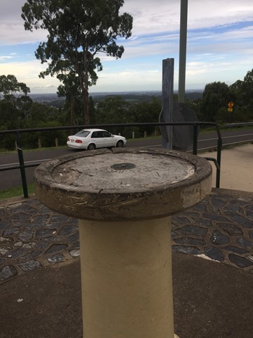
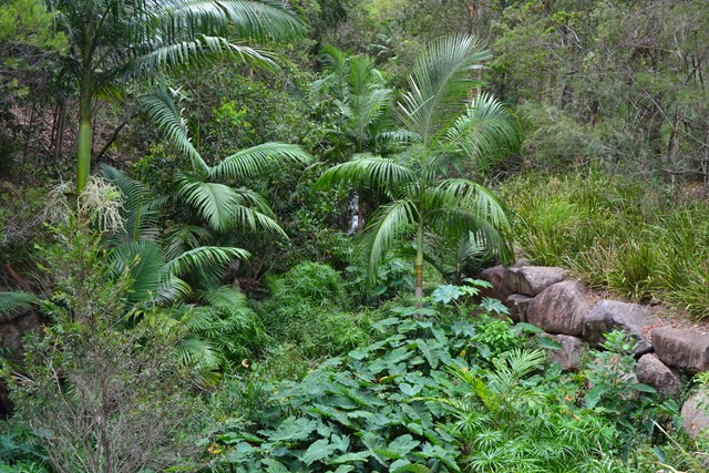
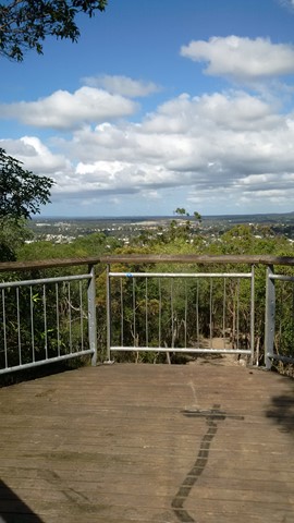
Mount Gravatt Summit Track
Brisbane City Council Local Walks
You will see creepers, ferns, shrubs and large trees on this winding track up the mountain. Once you reach the summit a breathtaking view is your reward. Admire the spectacular views from Mt Gravatt Outlook.
 7.1
km
return
2
hrs
7.1
km
return
2
hrs
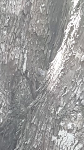
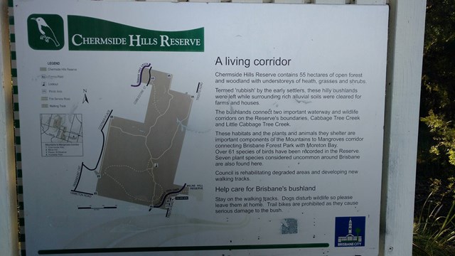
Chermside Hills, Raven St Reserve, and Milne Hill Circuit
South East Queensland
A surprisingly diverse walk in the heart of the 'burbs' with the ability to totally lose oneself from the hectic pace of modern life, the sounds of traffic, the visual pollution of human settlement. On the two times I have done this walk I have come across a mob of wallabies in different sections of the walk.
 1.5
km
one-way
40
mins
1.5
km
one-way
40
mins
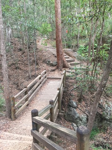
The Federation Track
Brisbane City Council Local Walks
This track from the base of Mt Gravatt follows a track up the mountain, passing a lookout over the east. The path is quite rough in places with lots of loose rocks, though there are also steps and bridges. To reach the summit you need to turn left onto the Azania Way track at the end, and follow this for another .4km. You can then return back to where you started by following the summit track (1.2km)
 4
km
return
1
hr
4
km
return
1
hr
Minnippi Parkland Circuit
Brisbane City Council Local Walks
These beautiful lush hectares of meadowland in the centre of Brisbane’s east have at their heart one of the rare surviving lagoons from pre-settlement days when low lying areas around the city fringes featured hundreds of them.
 2
km
one-way
30
mins
2
km
one-way
30
mins
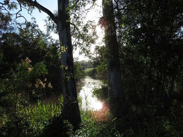
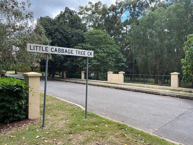
Little Cabbage Tree Creek Walk
Brisbane City Council Local Walks
Follow the Cabbage Tree Creek bikeway through local parks and remnant bush lands. Accessible by public transport. Including the suburbs of West Chermside and Aspley.
 3.4
km
return
90
mins
3.4
km
return
90
mins
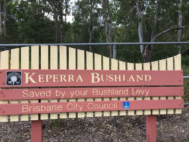
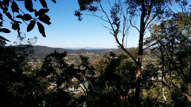
Keperra Bushland Lookout
Brisbane City Council Local Walks
A steep paved walk to the top of the Keperra Lookout. There are seats at the summit to look over Mount Coot-tha and the Flinders Peak group in the distance. The track loops back down a steep and loose fire trail which drops off the North side of the summit.
 14
km
return
4
hrs
14
km
return
4
hrs
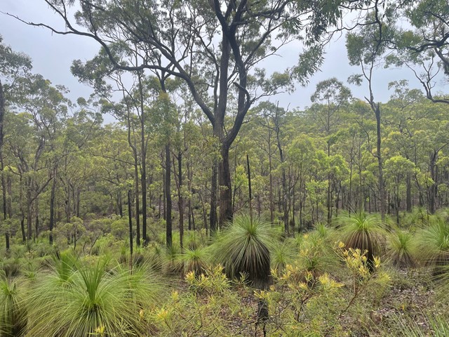
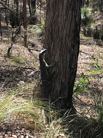
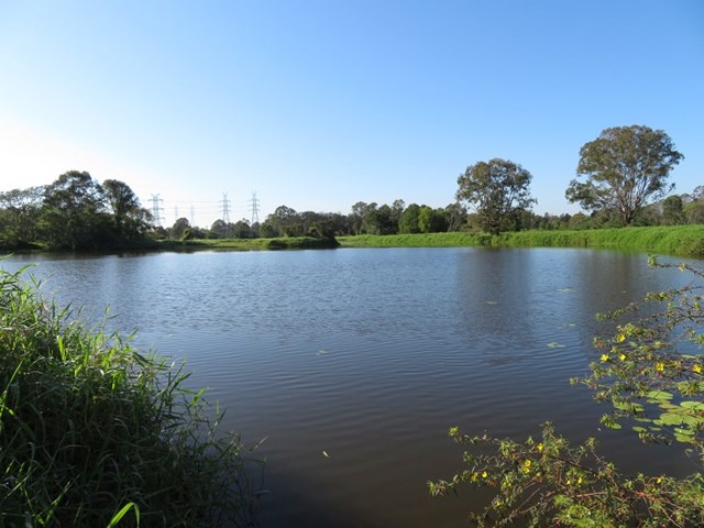
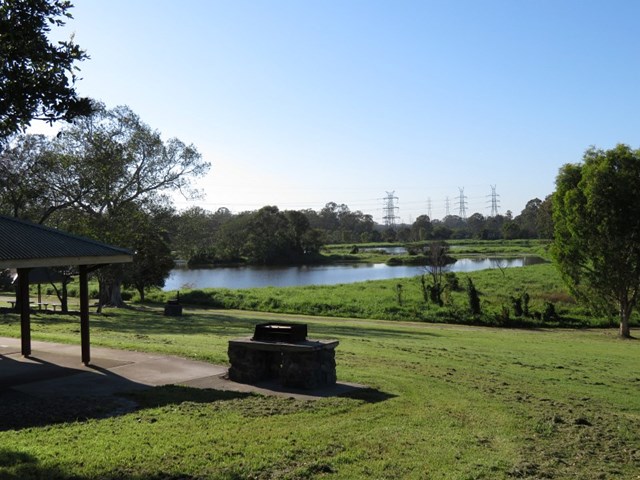
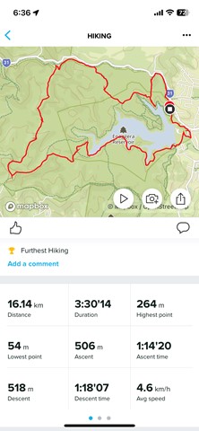
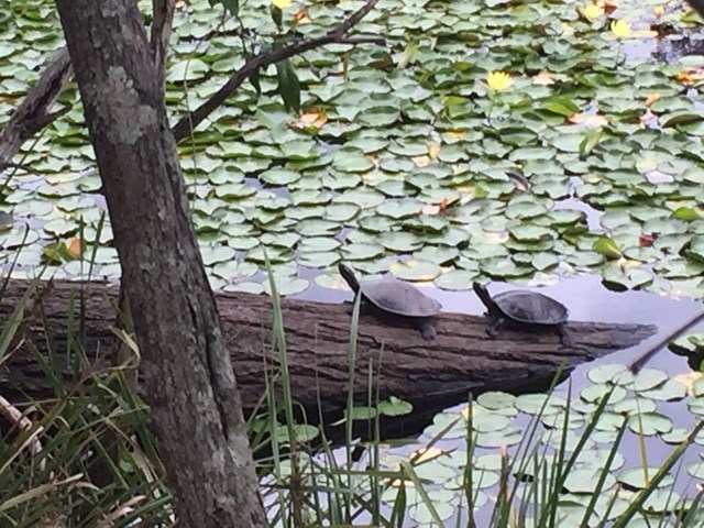
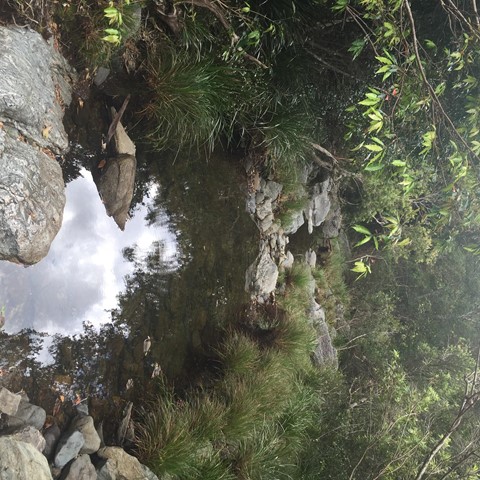
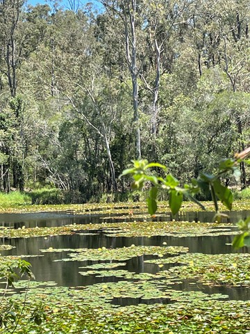
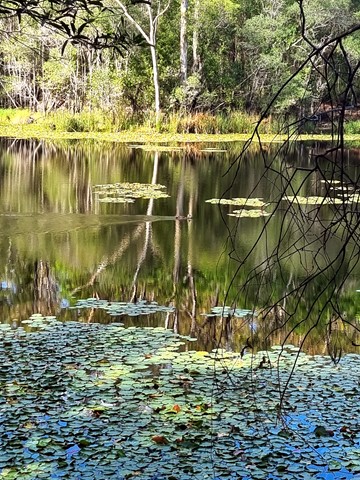
Holmans break
Brisbane Forest park D'Aguilar National Park
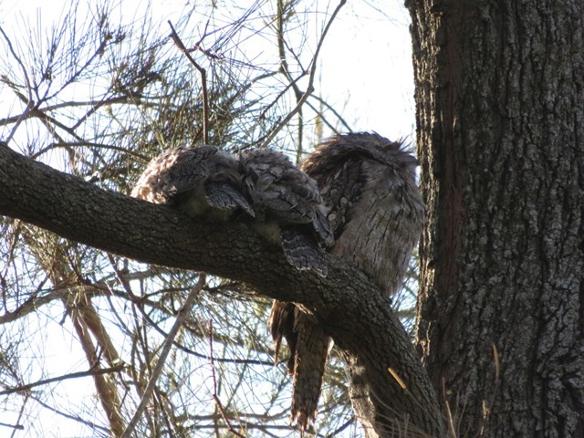
This is a beautiful walk around a large section of the bushland in which Enoggera Reservoir sits. You will walk through lots of varied vegetation, keep an eye out for goannas, lots of different birds and turtles sunning themselves on a log in the dam. A great way to spend 4 hours! I do recommend that you have a map - you can purchase the topographical map from Walkabout Creek.
Start out from the bottom carpark at Walkabout Creek, take the small track to the far right that follows Mt Nebo road. There is a very steep hill right in front of you! Follow this track for about 2 km, (turn around every now & again and you will catch glimpses of The Brisbane City skyline), The track will split - stay on the track that is to the right, still following Mt Nebo road, which is also on your right (you can't really see the road) for about another 1km. You will come to a bit of a clearing under the power lines - turn around and enjoy the view out over The Gap!
There are great views of Mt Cootha on your left and the mountain range in the distance (that I don't know the name of!). There is quite a steep descent down to a beautiful creek - take some time to enjoy a rest here as there is a VERY steep ascent ahead of you! It's probably about a 600 metre climb, which will bring you out under another power tower. Look over to the next tower - that is where you are heading! Continue along the trail for about another 1 km and you will come to a T junction, stay left for another couple hundred metres to another junction - go left again onto Fire Break 69. Don't forget to look over to your left when you reach the power tower and see how far you have come! Continue down Fire Break 69 until you reach another junction - this is McDonalds Loop. We went to the left and followed it down to the end where it hooks up to the Enoggera Reservoir loop - again we went left and followed the trail back along the reservoir to Walkabout Creek.
 5
km
90
mins
5
km
90
mins
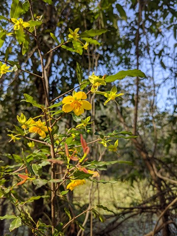
Araucaria Track
Brisbane Forest park D'Aguilar National Park
This walk begins off downhill, soon there are some views of the reservoir then the track begins to wind its way along the edge of the reservoir keep an eye out for different water birds.
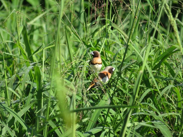
I would advise taking you camera equipment as well as a pair of binoculars for some good bird watching. After approx 1.7km you come to a Y junction go straight ahead and some more views of the Enoggera weir come into sight. There seems to be alot of bellbirds and a few whipbirds around here.
From here the track winds into some bush some small reminent of rainforest. And from here it gets a bit "are we there, yet" but keep on going up and over the ridge and back down again and you rejoin back at the Y junction.
Now the return route can be a little problem if you leave it late to do this walk because on your return from the Y junction. You will meet alot of people along the way.
Some signs have been errected "brown snakes" in the area. So watch your step when walking around the exposed hot ridge areas.
Also this track can be combined with the Corymbia Circuit to add a bit of distance for you walk.
 2
km
30
mins
2
km
30
mins
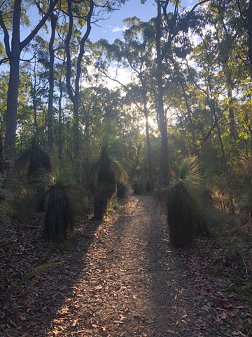
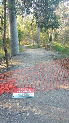
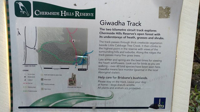
Giwadha Track (Chermside Hills Reserve)
Brisbane City Council Local Walks
This circuit track explores the Chermside Hills Reserves' open forest with its understorey of heath, grasses and shrubs. The track passes through thick vegetation beside Little Cabbage Tree Creek and climbs to the highest point in the reserve (Spider Hill) with views of the surrounding hills and suburbs.
Grade: medium, steep hills
Suited to: bushwalking, birdwatching, flora walks
Habitat: open eucalypt forest
Must: a sunset or sunrise walk to Spider Hill for amazing views
 1.5
km
30
mins
1.5
km
30
mins
Corymbia Circuit
Brisbane Forest park D'Aguilar National Park
A small walk in a cool area before going on to the Araucaria Track