
Menu
Suggested searches
Your search found 510 results...

 1
km
return
1
km
return
 30
mins
30
mins
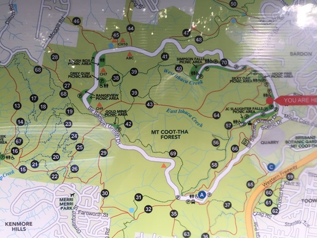
Ghost Hole Track
Mt. Coot-tha
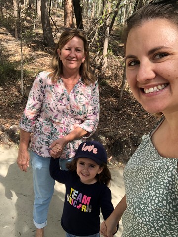
Went for a walk here to look at the location of the old gold mines.
 3
km
return
45
mins
3
km
return
45
mins
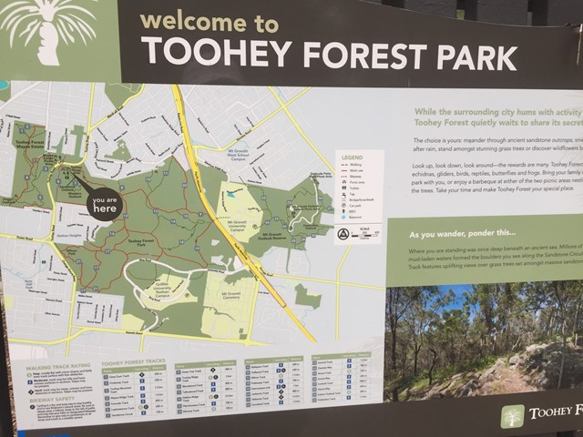
Toohey Mountain Track & Mayne Ridge Track
Brisbane City Council Local Walks
A short walk in Toohey Forest Park from the Mayne Estate Picnic Area to the top of Toohey Mountain and to Pegg's Outlook.
 5
km
one-way
90
mins
5
km
one-way
90
mins
Toohey Forest Trailhead to Mt Gravatt Lookout
Brisbane City Council Local Walks
The track is paved then bitumen to wide track. This walk can be completed in almost all conditions. Crosses the Griffith Uni Campus.
 2.8
km
return
40
mins
2.8
km
return
40
mins
She-Oak Track (Whites Hill Reserve)
Brisbane City Council Local Walks
Enter via Pine Mountain Road, Follow the signs to the summit and look at the views over South Brisbane
750
m
return
10
mins
Sandstone Circuit
Brisbane City Council Local Walks
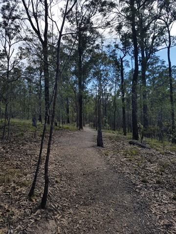
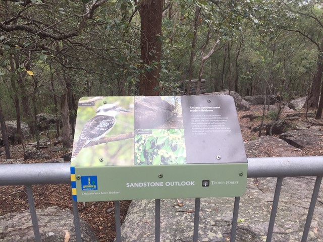
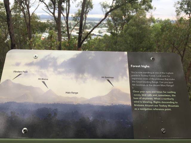
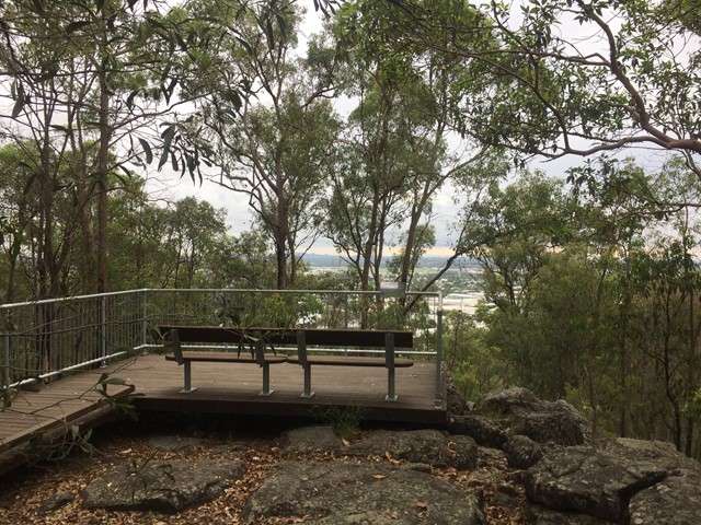
A short circuit in Toohey Forest Park that takes you to the top of a sandstone knoll the sandstone outlook (117m) and to the Western outlook which offers views of the Flinders Peak group and distant main range.
 2
km
return
1
hr
2
km
return
1
hr
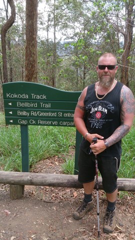
Kokoda Track
Mt. Coot-tha
A steep, short walk between Channel 9 and the Bellbird Trail.
 4.6
km
return
1
hr
4.6
km
return
1
hr
Oxley Creek Common-Secret Forest Walk
Brisbane City Council Local Walks
A serene patch of bird-inhabited wetland in the midst of an agricultural and industrial area, Oxley Creek Common has a couple of easy paved walking trails and picnic amenities for the visitor.
One trail leads from the picnic area and themed info and amenity block Red Shed and splits into two before ending at two different bird habitats. For those keen to spot some of the 180 plus species of bird that inhabit this space, the best times to walk are at dawn and dusk though ornithological tendencies are not required to enjoy these walks.
 8.2
km
return
100
mins
8.2
km
return
100
mins
Toohey Forest Park Loop
Brisbane City Council Local Walks
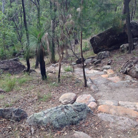
This is a nice loop of Toohey Forest Park. Beautiful bushland, but not really fond of the paved path. I guess it does support erosion control though. Otherwise, great ecosystems throughout, going from the dry Eucalypt forest, down to the riparian system at lower elevation.
Great native flora and fauna everywhere.
 4.6
km
90
mins
4.6
km
90
mins
Jacksonia Trail, Bellbird Trail, and Kokoda Trail Circuit
Mt. Coot-tha
This walk is a great workout training. A lot of people along this track are training for possibly Kokoda and carry large packs. It is very steep, you some times see mountain bikers ride up and down.
 1
km
return
10
mins
1
km
return
10
mins
Grass Tree Track
Brisbane City Council Local Walks
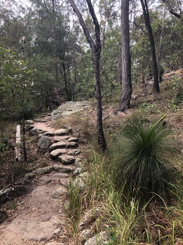
Beautiful uphill track, starting at the end of Cheval St, Tarragindi, that joins onto the Toohey Ridge Track.