Menu
Suggested searches
Your search found 510 results...

 3.5
km
return
3.5
km
return
 1
hr
1
hr
Sandy Creek Track
Ipswich - Flinders Goolman Conservation Estate
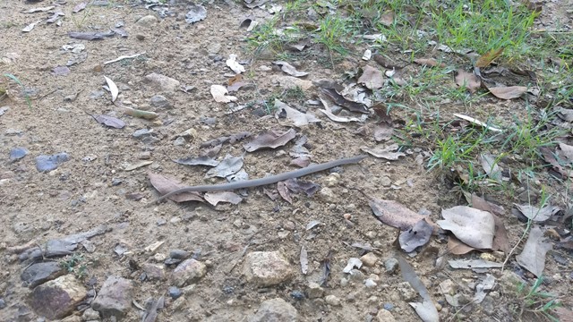
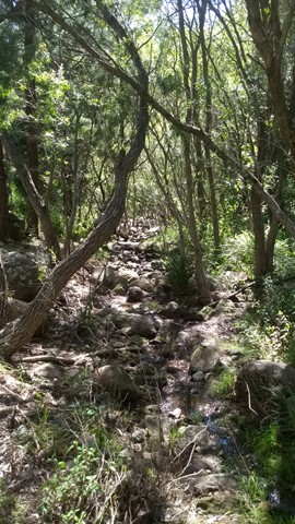
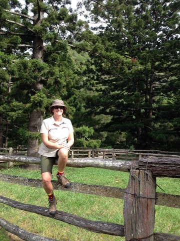
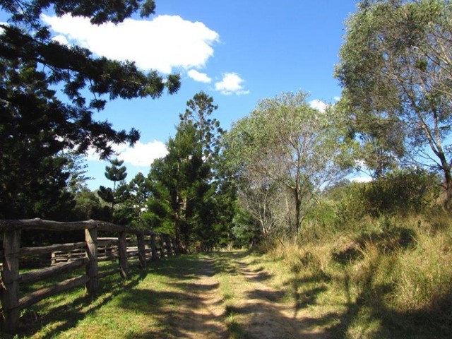
Walk through patches of majestic Hoop Pine forests following
Sandy Creek on this moderate level hike.

 3
km
return
45
mins
3
km
return
45
mins
Wickham National Park High Point
South East Queensland
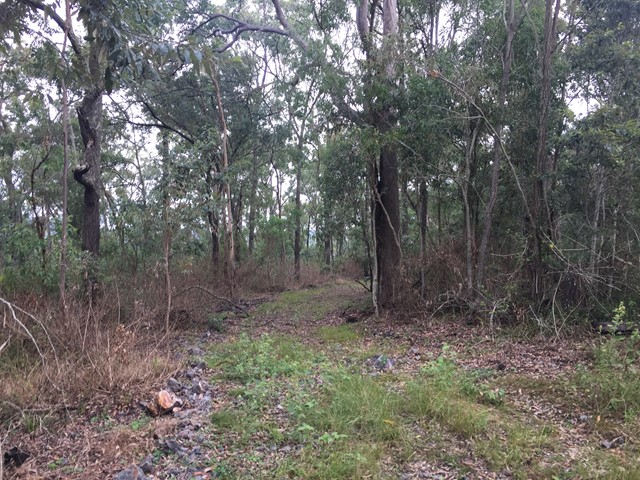
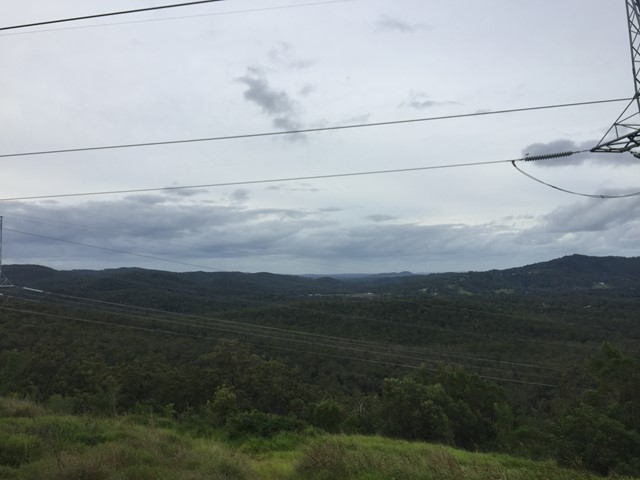
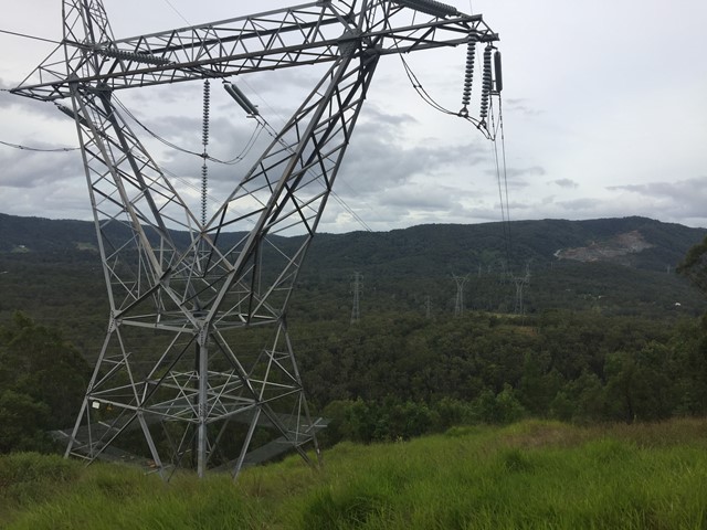
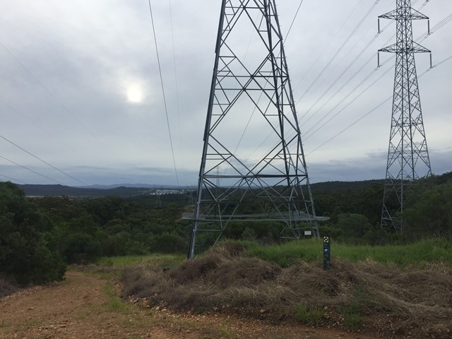
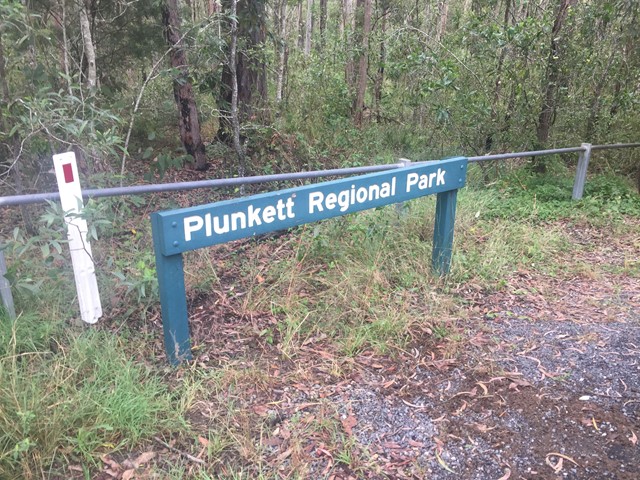
A walk from the end of Flesser Road through Plunkett Conservation Park and into Wickham National Park and to the highest point in the National Park.
 7
km
return
2
hrs
7
km
return
2
hrs
Birnam Range
South East Queensland
Walk along the spine of the Birnam Range. The trail along the range stretches for 7-8kms starting in the South from the end of Monmouth Ct or the main Mundoolun Road and finishing in the North at Currawong Ct. Outlined in this walk is a section of the trail along the highest part of the range starting from and returning to Mona Dr which is one of a few additional enterance points.
6.3
km
one-way
90
mins
Red Beach to Woorim
Moreton Island National Park
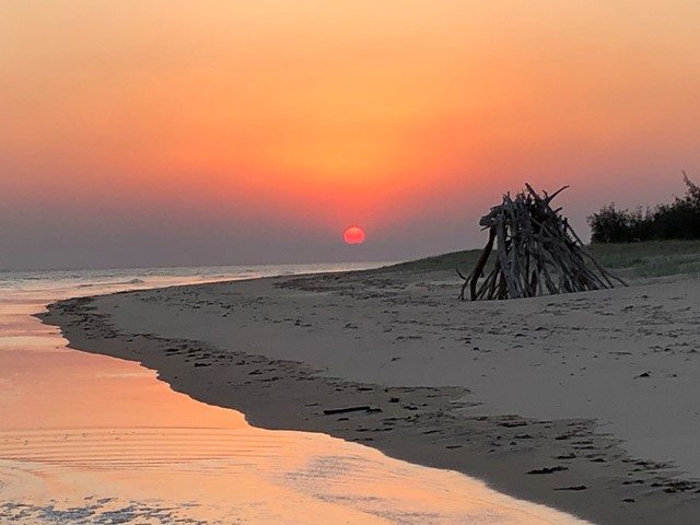
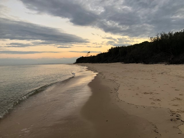
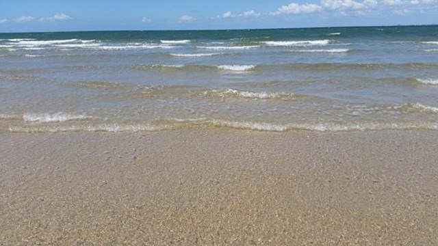
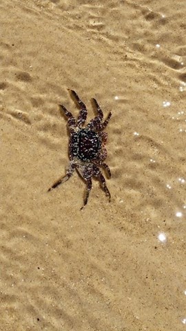
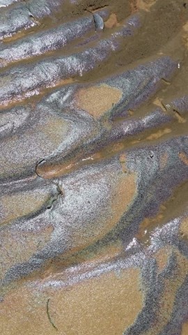
This is a walk along the beach from the car park at Red Beach Bribie Island to the patrolled surf beach at Woorim. It's best to time your walk around low tide as at high tide the water comes right up to the trees in some places. Also, after significant rain there can be run-off from the island causing water courses that will need to be crossed - Not really a problem unless you don't want to get your feet wet. I've only marked the difficulty level as medium due to the un-certainty of the conditions, but generally it's a pretty easy walk if you stay on hard sand. If you're looking at a work-out, maybe walk on the soft sand and then the difficulty would definitely be harder. If you decide to do a return walk, you can pick up something to eat or drink at Woorim before heading back.
 8
km
return
3
hrs
8
km
return
3
hrs
Mount Vane (Jarlo Beetle Track)
North Stradbroke Island - Minjeeribah
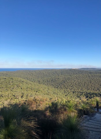
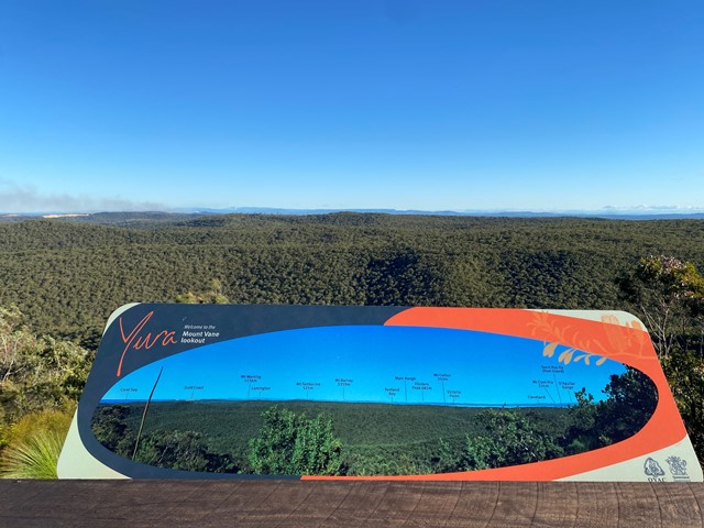
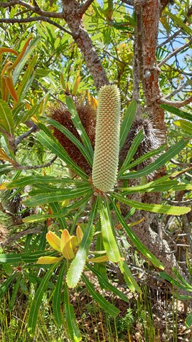
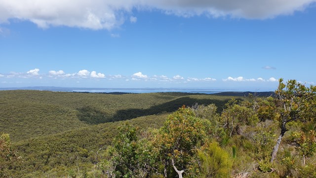
The Mount Vane walking track on Minjerribah is Straddie’s latest visitor attraction. Recent completion of the track has allowed keen bush walkers to enjoy 360-degree views of Moreton Bay and Quandamooka Country from a lookout atop one of Minjerribah’s highest peaks.
Constructed by Minjerribah’s Traditional Owners, the Quandamooka People, the new walk joins two existing walks within Naree Budjong Djara (My Mother Earth) National Park to create a 10 kilometre network of trails. This offers walkers a half day of trekking to special sights like Karboora (Deep Silent Pool, also known as Blue Lake) and a number of peaks with sweeping views over 18 Mile Swamp to the Gold Coast.
 350
m
30
mins
350
m
30
mins
Tea Tree Boardwalk Circuit
Ipswich - Purga Nature Reserve
The Purga Nature Reserve allows visitors to view the largest
protected area of endangered Swamp Tea Tree forest in
Ipswich. These self-guided walks provide visitors a unique
opportunity to explore vegetation and watch wildlife while
only 15 minutes from Ipswich Central.
12
km
one-way
3
hrs
Lowood to Coominya Rail Trail
South East Queensland
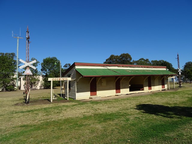
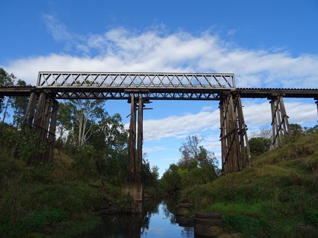
This walk is part of the Brisbane Valley Rail Trail, starts and finishes at the railway station. Coominya is a small town but has all services. A large and impressive rail bridge along the track but not accessible, a lower river crossing. The walk passes through farm lands so plenty of gates to open and shut but not a walk to complete in Summer months. The trail is well marked so maps are not required. Lowood is accessible after a turnoff at Fernvale which is situated on the Brisbane Valley Highway. Public amenities and car parking at both ends of the walk. No permits or costs for the walk.
 7
km
return
2
hrs
7
km
return
2
hrs
Pine Hill
South East Queensland
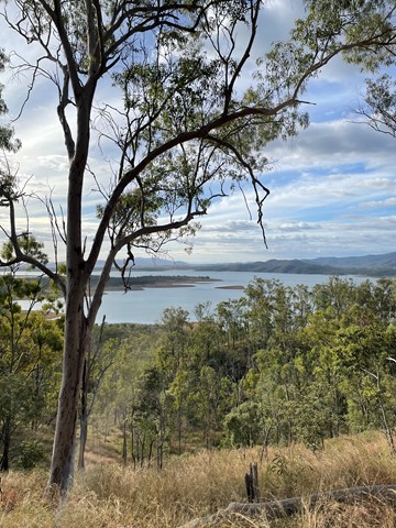
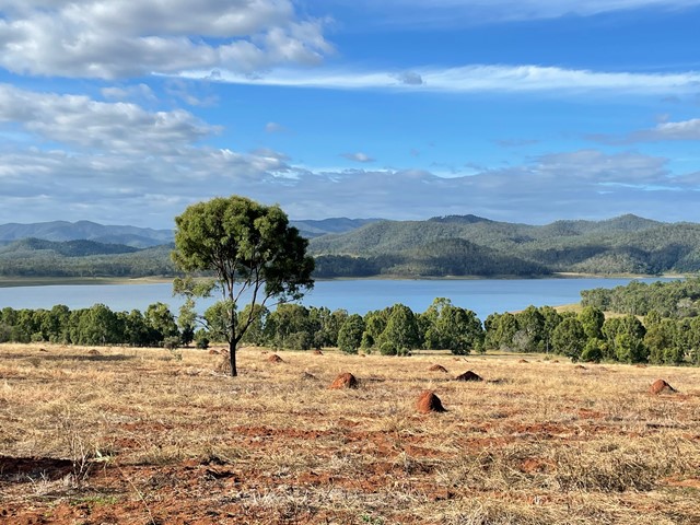
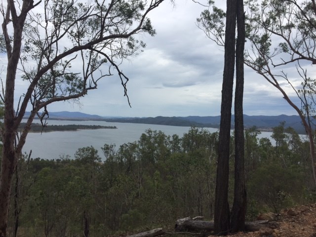
An easy walk through the bushland around the southern end of Lake Wivenhoe to the high point on Pine Hill. The eucalyptus trees look very young, so I can only suppose that this will get better with age.

 6.5
km
return
3.5
hrs
6.5
km
return
3.5
hrs
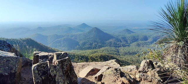
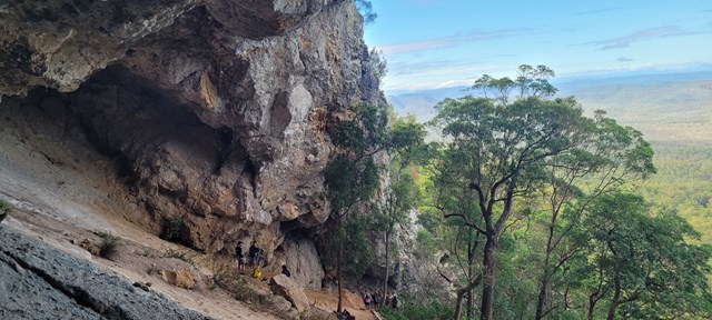
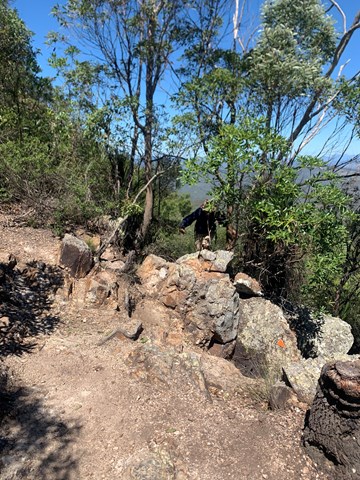
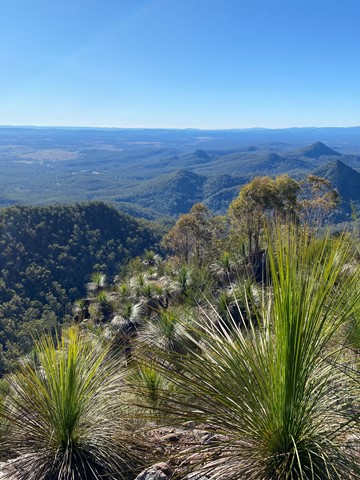
Flinders Peak & caves via Mt Elliott Rd.
Ipswich - Flinders Goolman Conservation Estate
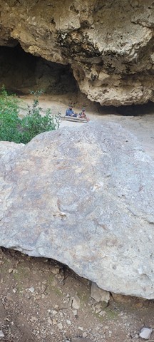
Short but steep hike to summit and side trip to caves. Approximately 5.5 klms.
 12
km
return
3
hrs
12
km
return
3
hrs
Flinder’s Peak Circuit - approach from South
Ipswich - Flinders Goolman Conservation Estate
A different way to get to Flinder’s Peak - follows fire trails East of the summit then approaches from South and South West - joining the trourist trail just before the chimney up to the summit. Back down the chimney and follow the standard tourist trail down to the carpark.