
Menu
Suggested searches
Your search found 118 results...

 1.3
km
one-way
1.3
km
one-way
 20
mins
20
mins
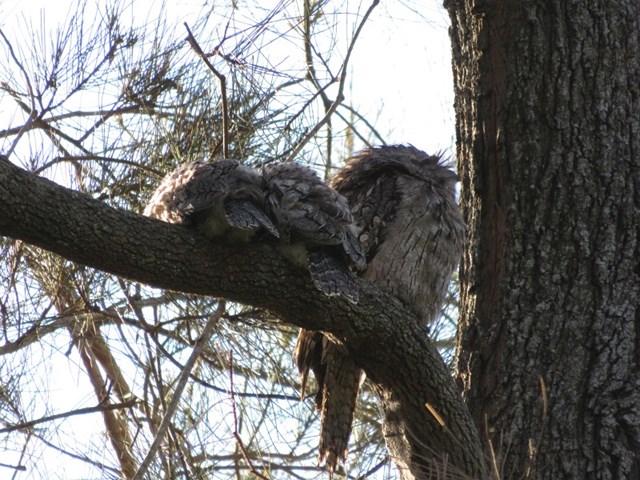
Pomax Track
Brisbane City Council Local Walks
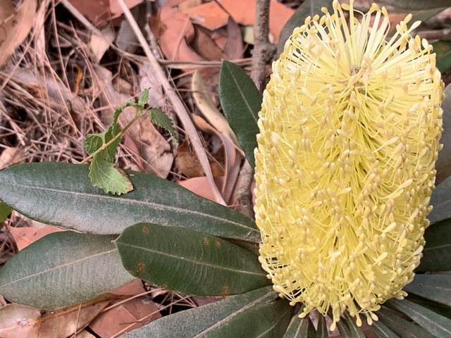
This track passes through heathland where you can see spectacular plants including pomax, banksia, native irises and keraudrenia. It is named after the locally rare heathland plant pomax.
Grade: difficult, steep hills
Suited to: bushwalking, birdwatching, flora walks
Habitat: heathland
Must: look for wildflowers in September
 10
km
one-way
3
hrs
10
km
one-way
3
hrs
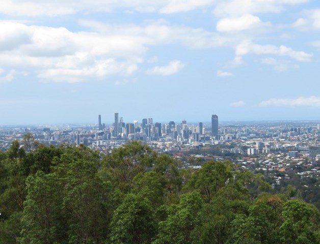
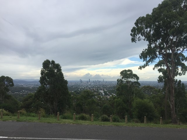
Gap Creek to Mt Coot-tha Botanic Gardens
Mt. Coot-tha
This walk will use several tracks in the Mount Coot-tha area to take you from Gap Creek to Mt Coot-tha Botanic Gardens
 6
km
return
90
mins
6
km
return
90
mins
Bellbird trail, Kokoda trail, Jacksonia trail circuit from Gap Creek Reserve
Mt. Coot-tha
Bellbird Trail, Kokoda Trail up to top of hill and then back down Jacksonia Track- steep climb up to top of Mt C
1.2
km
one-way
30
mins
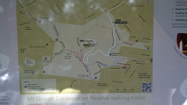
Mount Gravatt Summit Track
Brisbane City Council Local Walks
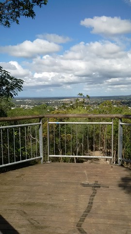
You will see creepers, ferns, shrubs and large trees on this winding track up the mountain. Once you reach the summit a breathtaking view is your reward. Admire the spectacular views from Mt Gravatt Outlook.
 1.5
km
one-way
40
mins
1.5
km
one-way
40
mins
The Federation Track
Brisbane City Council Local Walks
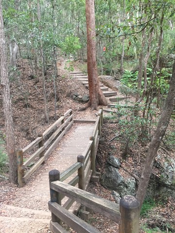
This track from the base of Mt Gravatt follows a track up the mountain, passing a lookout over the east. The path is quite rough in places with lots of loose rocks, though there are also steps and bridges. To reach the summit you need to turn left onto the Azania Way track at the end, and follow this for another .4km. You can then return back to where you started by following the summit track (1.2km)
 4
km
return
1
hr
4
km
return
1
hr
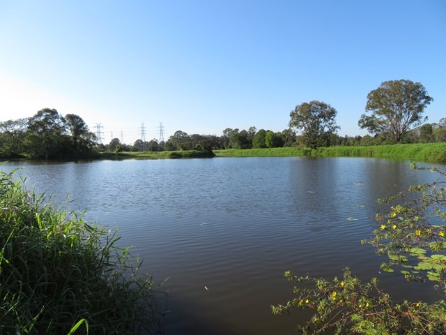
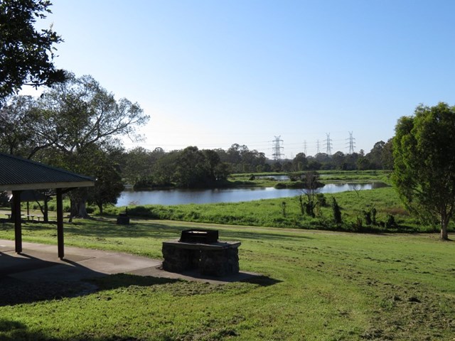
Minnippi Parkland Circuit
Brisbane City Council Local Walks
These beautiful lush hectares of meadowland in the centre of Brisbane’s east have at their heart one of the rare surviving lagoons from pre-settlement days when low lying areas around the city fringes featured hundreds of them.
 2
km
30
mins
2
km
30
mins
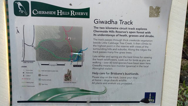
Giwadha Track (Chermside Hills Reserve)
Brisbane City Council Local Walks
This circuit track explores the Chermside Hills Reserves' open forest with its understorey of heath, grasses and shrubs. The track passes through thick vegetation beside Little Cabbage Tree Creek and climbs to the highest point in the reserve (Spider Hill) with views of the surrounding hills and suburbs.
Grade: medium, steep hills
Suited to: bushwalking, birdwatching, flora walks
Habitat: open eucalypt forest
Must: a sunset or sunrise walk to Spider Hill for amazing views
 2.2
km
return
40
mins
2.2
km
return
40
mins
Cliveden Avenue Reserve
South East Queensland
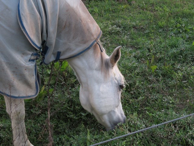
A short easy walk around Corinda Horse and Pony Club.
 2.5
km
return
1
hr
2.5
km
return
1
hr
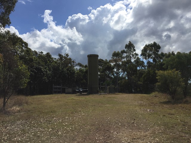
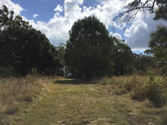
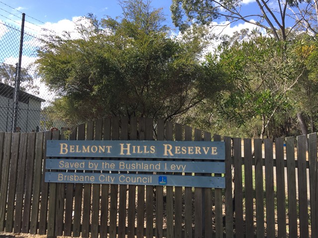
Belmont Hills Reserve
Brisbane City Council Local Walks
A short walk to the top of Belmont Hill. Journey to the top of the hill has some great views of the city and surrounding suburbs.
Top of the hill has some great places to rest under the tree canopy and have a picnic
 5
km
return
1
hr
5
km
return
1
hr
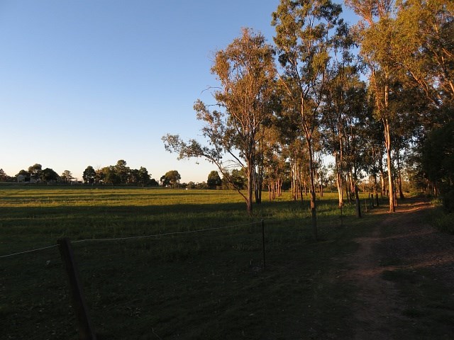
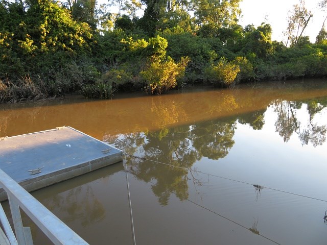
Rocks Riverside Walk
Brisbane City Council Local Walks
Walk along the river, plenty of picnic spots, water bubblers (including for dogs) and Brisbane’s largest riverside park at the end.