
Menu
Suggested searches
Your search found 118 results...

 1.2
km
return
1.2
km
return
 20
mins
20
mins
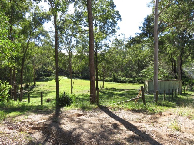
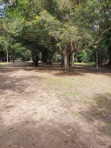
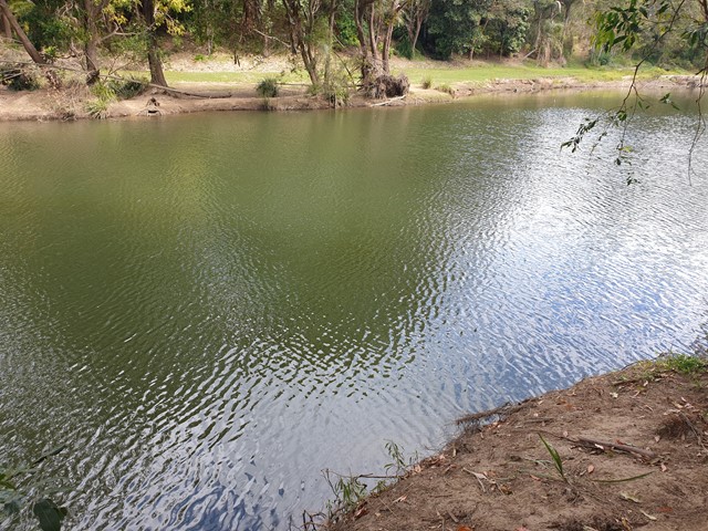
Hemmant Quarry Reserve
Brisbane City Council Local Walks
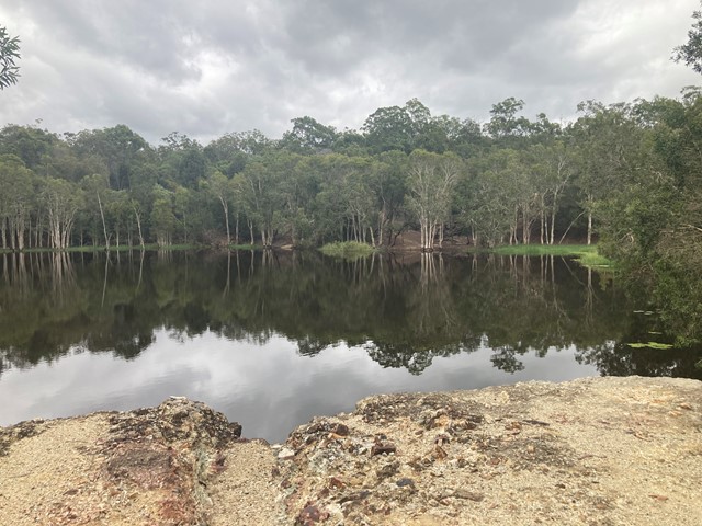
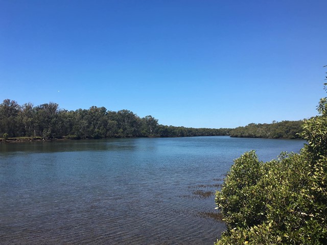
Hemmant Quarry Reserve is located on Fleming Road in Hemmant, 11 kilometres east of Brisbane's CBD. The 24 hectare reserve is part of the Bulimba Creek Catchment and contains open eucalypt forest and wetland species around an old quarry that is now a water body and wildlife habitat.
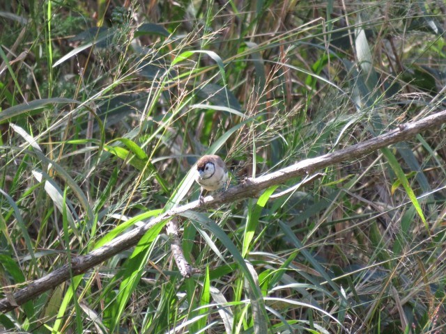
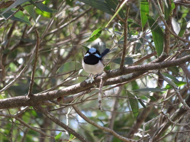
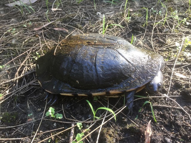
The reserve contains important habitat for a wide array of bird species and other wildlife including koalas.
Visitors can enjoy the reserve through a series of short walking tracks starting from the car park on Fleming Road, Hemmant.
 3
km
return
45
mins
3
km
return
45
mins
Beryl Roberts Park
Brisbane City Council Local Walks
Accessible toilet, barbecue (electric), bikeway network, dog off leash area (Arrunga Street), fitness station (Barham Street), picnic area (Barham Street), playground (Barham Street, Perina Street), public toilet (Barham Street), water (bubbler/tap)
 4.5
km
return
90
mins
4.5
km
return
90
mins
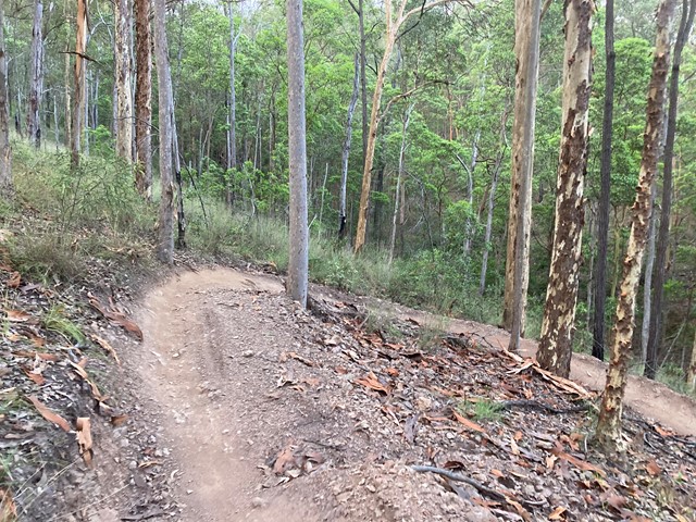
Ironbark Gully Break Loop
South East Queensland
loop walk within the Samford Conservation Park; undulating trail on maintenance road.
IGB East break/ Geiger break/ IGB break
The loop can be extended by inclusion of further trails.
 3.6
km
return
1
hr
3.6
km
return
1
hr
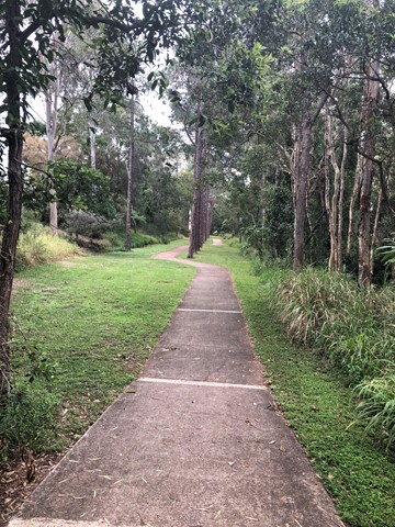
Ferny Grove Rail Trail
Brisbane City Council Local Walks
Brisbane's Ferny Grove Rail Trail, a 1.8km bush track which connects the Samford Valley foothills to Ferny Grove, may be short and lack romantic trimmings such as old stations and railway bridges, but of all the country's rail trails, it distinguishes itself with an infamous and tragic history.
 2.9
km
return
1
hr
2.9
km
return
1
hr
Lookout Archerfield Wetland
Brisbane City Council Local Walks
The wetland offers a nice long walking path, perfect for a peaceful stroll or bicycle ride. However, there's little to no shade, making it a bit challenging during sunny summers. The area has a lot of potential but could use some improvements to make it more engaging. Despite being somewhat secluded, it's still a pleasant spot for outdoor activities, but it could benefit from a bit of enhancement to make the experience more enjoyable.
4.3
km
return
1
hr
Mookin-bah Reserve
Brisbane City Council Local Walks
There are a number of trails in the Mookin-bah Reserve. All relatively short but can be combined to walk a little over 5km. This walk started at the Greencamp Road entrance and took the Lorikeets then h9neyeater tracks before merging onto the Fairy wren track and walking to Chelsea Road.
The track is signposted and straightforward with the only tricky part at the start of the walk. The walk starts in just a mown grassy track which quickly reaches an a junction that has no signs. Go left and you will quickly be on the bitumen path.
The return journey is approximately 4.3 km
 3
km
return
45
mins
3
km
return
45
mins
Bunya Crossing Reserve
South East Queensland
There are several easy short dog-friendly walks in the area (about 2kms in total). There is a lovely shaded picnic area and a swimming hole with rope swing. It is not so much a picturesque walk but a good place to take the family for a relaxing picnic and to take your dog for a stroll and swim. Gates close at sunset.
 8.4
km
return
8.4
km
return
Boondall Wetlands Bikeway
Brisbane City Council Local Walks
Walking and bike track leading from Boondall Wetlands Environment Centre to Nudgee Road.
 2
km
return
45
mins
2
km
return
45
mins
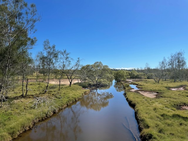
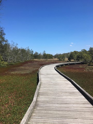
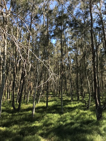
Billai Dhagun Circuit
Brisbane City Council Local Walks
Billai Dhagun Circuit is part of the Boondall Wetlands, and after rain this walk can get quite wet. It is still quite an easy walk though. The name means 'Place of She-oaks', and you will see plenty of these here. There is a bird hide along the walk so that you can watch the water birds at the opening to Nundah Creek.
 1.5
km
return
40
mins
1.5
km
return
40
mins
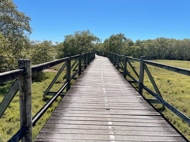
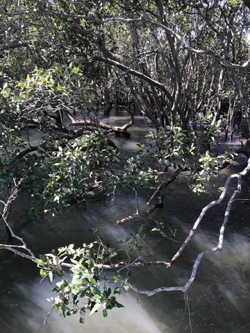
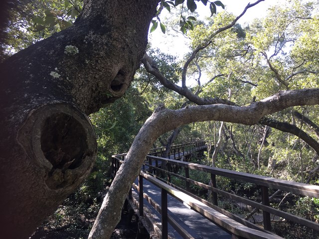
Wynnum Mangrove Boardwalk
Brisbane City Council Local Walks
Walkway and boardwalk circuit that pass through the mangroves.