
Menu
Suggested searches
Your search found 2400 results...

 73
km
one-way
73
km
one-way
 5
days
5
days
Heysen Trail South Coast
South Australia
This 4-5 day highlight section of the Heysen Trail along the south coast is spectacular, with good campsites along the way for multi-day hikers. This highlight section starts from the southern trailhead of the Heysen Trail at Cape Jervis, following the coast to Victor Harbor. Before Victor Harbor the main Heysen Trail heads north for 1,200km to the Flinders Ranges, but a good spur trail continues into central Victor Harbor.
9.8
km
one-way
4
hrs
River Trail, Sturt Gorge
South Australia
The River Trail follows the Sturt River through Sturt Gorge. It explores the rugged beauty of the river, including waterfalls, flowing creeks and rocky gorges.
The trail can be adventurous, with 9 river crossings and some rock scrambling. After rain expect the river to be higher, and the stepping-stones across the 9 river crossings may be underwater.
Begin on Main South Road and walk through Riverside Reserve, then along Adam’s Orchard Trail from the end of Riverside Drive, Bedford Park. Or begin at Edgar Street, Bedford Park. Follow the trail to the eastern end of Sturt Gorge Recreation Park, where the trail emerges on Coromandel Parade beside Horners Bridge. Built in 1886 Horners Bridge is a large stone arch bridge, and was the first bridge across the Sturt River. It was on the original Adelaide to Goolwa Road, which was superseeded when motor cars became popular (and the road unsuitable for fast travel).
The trail could be walked one-way by using Adelaide Metro public buses to return, from Bus Stop 28 Main South Road to Bus Stop 37B Coromandel Parade.
7.13
km
return
3
hrs
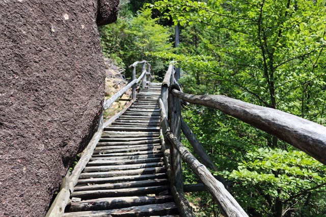
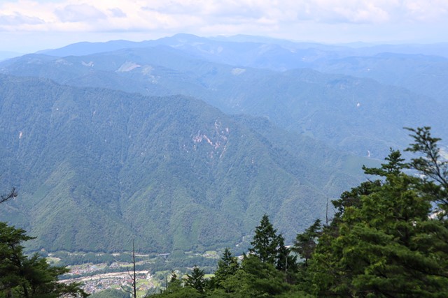
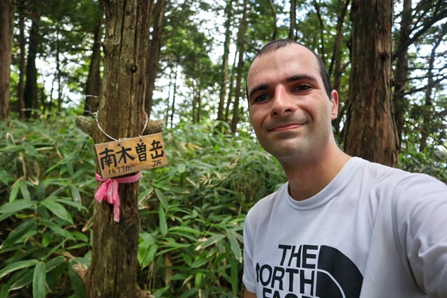
Nt. Nagiso-dake 南木曾岳 (Nagano Prefecture)
Japan
Mt. Nagiso is a small mountain located in the Central Alps. It lacks the alpine feel of some of the other hikes in the area such as Utsugi-dake and Kiso Koma ga Take, but nonetheless is a pretty decent hike. It sees very little foot traffic and has good views over Mt. Ena and onto Mt. Ontake. Some nice easy rock scrambling and some precarious bridges.
 6.5
km
return
84
mins
6.5
km
return
84
mins
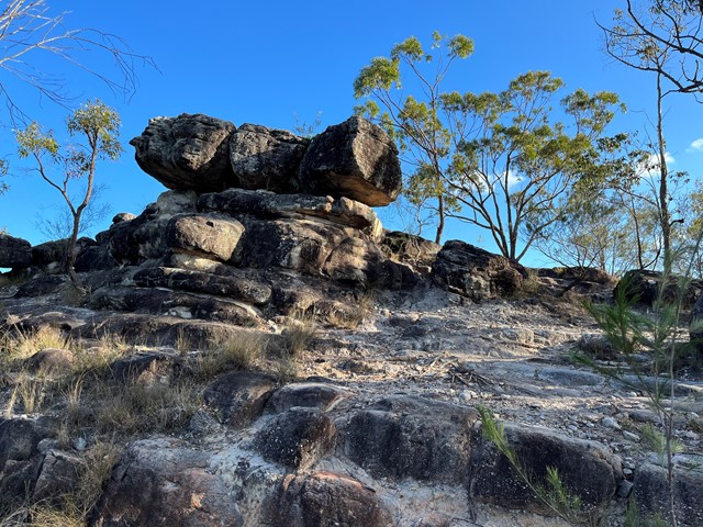
Brushtail, Wallum, Banksia, Wallaby, Rocks
Karawatha Forest
These are trails in Karawatha Forest added together for a longer walk
7.35
km
return
2
hrs
Brushtail, Maculata, Dianella, Wallaby, Rocks
Karawatha Forest
Trails added together to increase walk time at Karawatha
8.62
km
return
2.27
hrs
Rocks, Dianella, Lomatia, Bracken, Entolasia, Rocks Trails
Karawatha Forest
Trails added together to make walk longer.
Acacia Rd Trailhead
 8.03
km
return
2.09
hrs
8.03
km
return
2.09
hrs
Casuarina, Lomatia, Curtisli, Mahogany, Casuarina Trails
Karawatha Forest
Curtisli is a hard trail in some places as indicated on the maps, but worth it to reach Yagara Rocks Lookout.
Illaweena Street trailhead.
 1.5
km
return
40
mins
1.5
km
return
40
mins
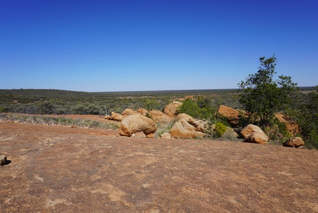
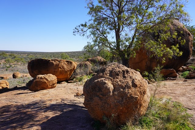
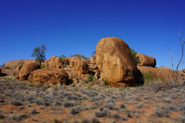
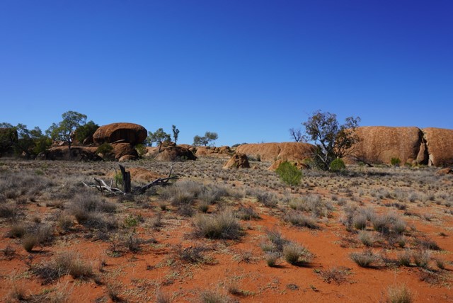
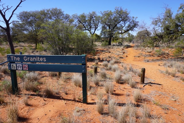
The Granites
Currawinya National Park
The Granites
Grade 4
Distance: 1.5km return
Time: Allow 40 minutes
Visit The Granites, 10km north-west of Ten Mile Bore (pt 15km from ranger base) on the Boorara Road. Walk the 1.5km to a small outcrop of granite rocks, a unique feature of the park. Please respect the cultural significance of the area by not climbing on the granite rocks.
 360
m
return
10
mins
360
m
return
10
mins
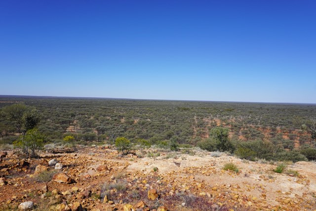
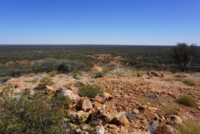
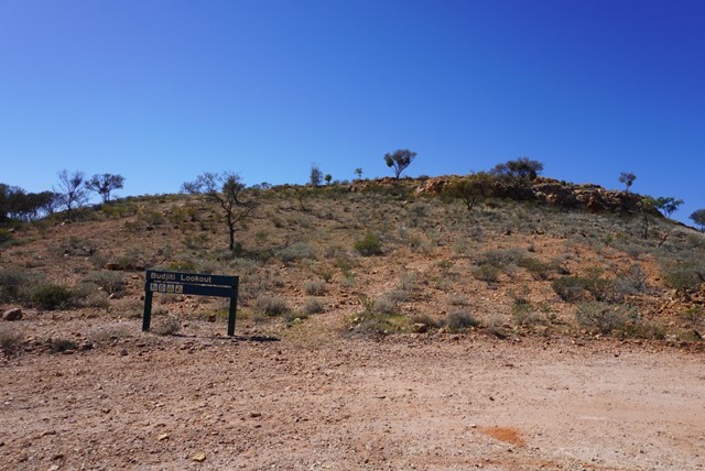
Budjiti Lookout
Currawinya National Park
Budjiti Lookout
Grade 4
Distance: 360m return
Time: Allow 10 minutes
Take a short 180m walk up a rocky slope to the Budjiti Lookout and watch the sunset over an endless horizon. Located 44km north-west of the park office on the Boorara Road.
Remember to take water with you and walk carefully as the uneven track and rocks may be slippery.
 200
m
return
30
mins
200
m
return
30
mins
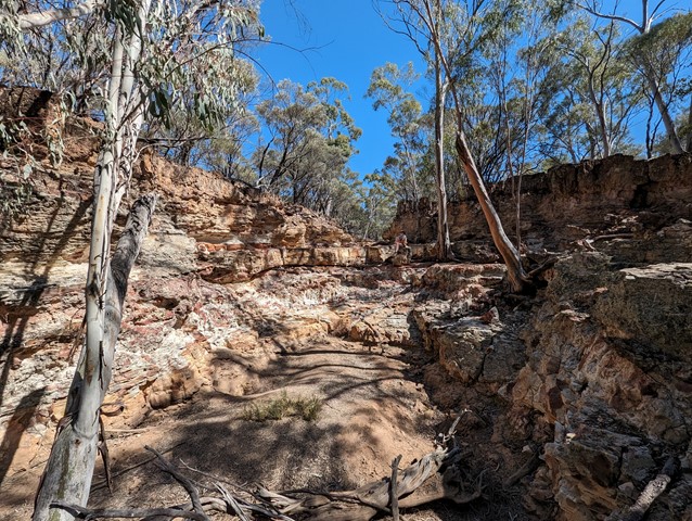
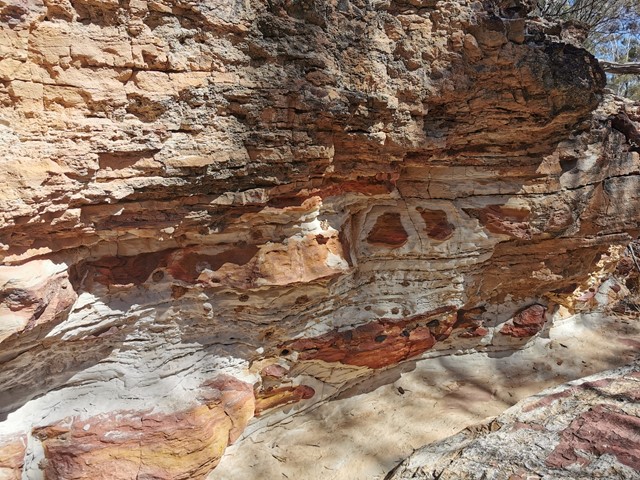
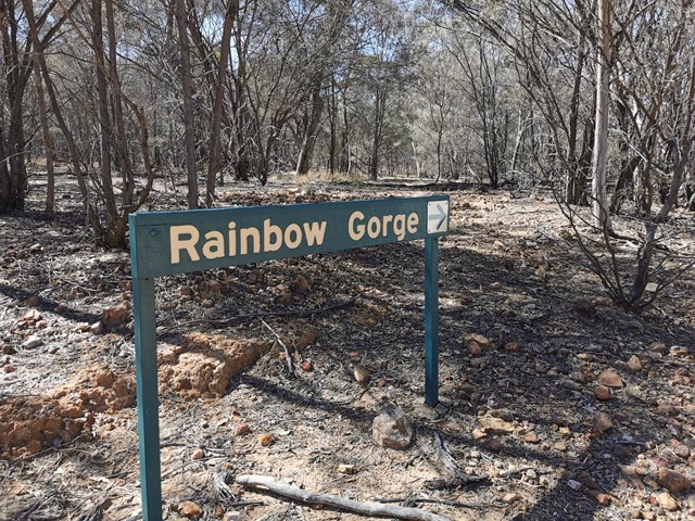
Rainbow Gorge
Idalia National Park
Rainbow Gorge walk—200m return (Allow 30–45mins to explore)
Grade 3
The entrance to Rainbow Gorge is about 4km north of Monks Tank camping area. Walk 100m downstream to see a mass of white, red and yellow-stained sandstone. The creek drains into the Barcoo River via Thornleigh Creek.