
Menu
Suggested searches
Your search found 2444 results...

 6
km
6
km
 2
hrs
2
hrs
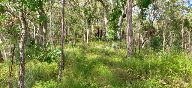
Poo Poo Point
Tiger Mountain State Forest
Hike up Tiger Mountain to a hang glider launch point. Views of Issaquah and Lake Sammamish.
 6
km
return
4
hrs
6
km
return
4
hrs
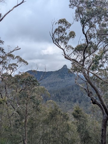
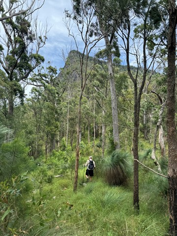
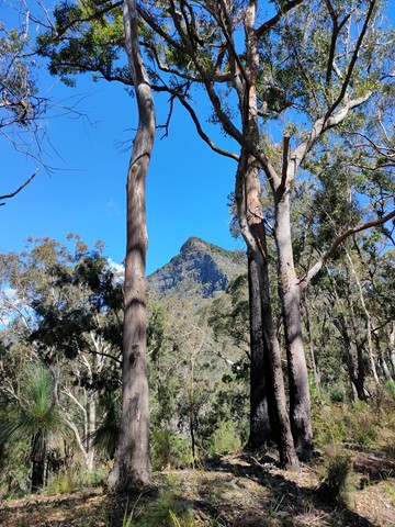
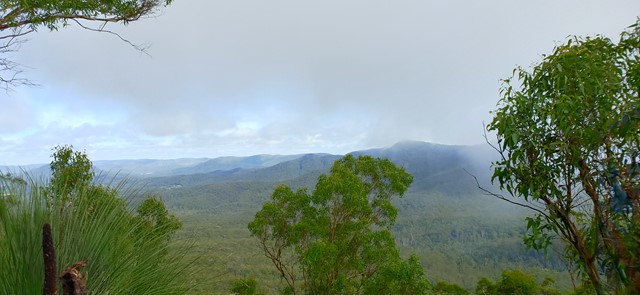
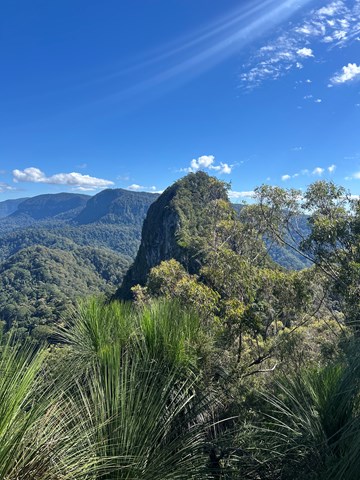
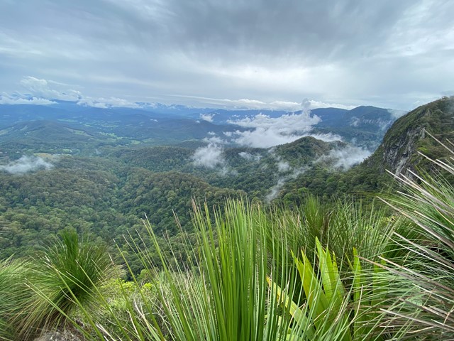
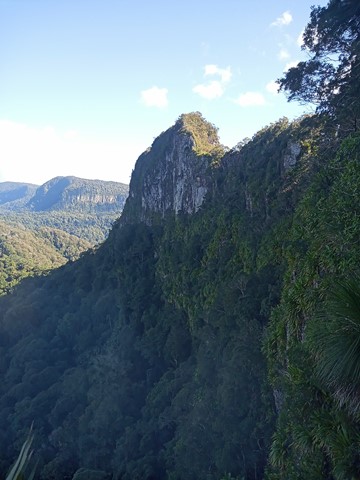
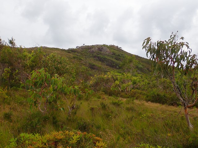
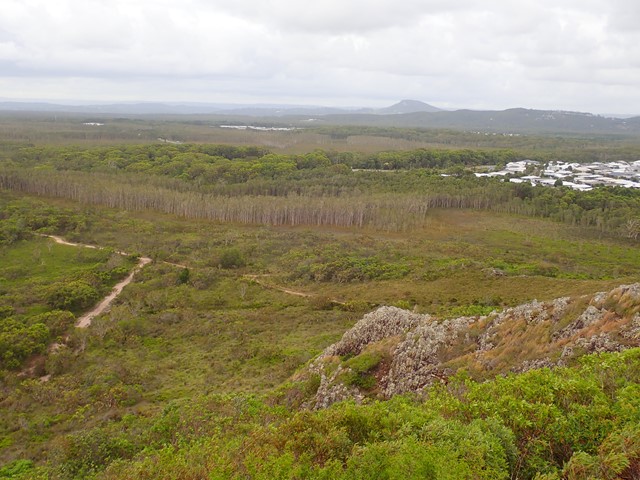
Spicer's peak
Main Range National Park
A steep and loose ascent from Governor's Chair. The views are great over the Fassifern Valley.
 10
km
5
hrs
10
km
5
hrs
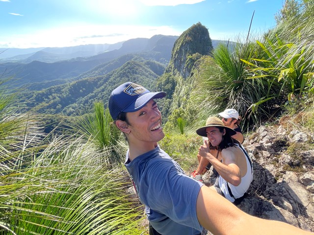
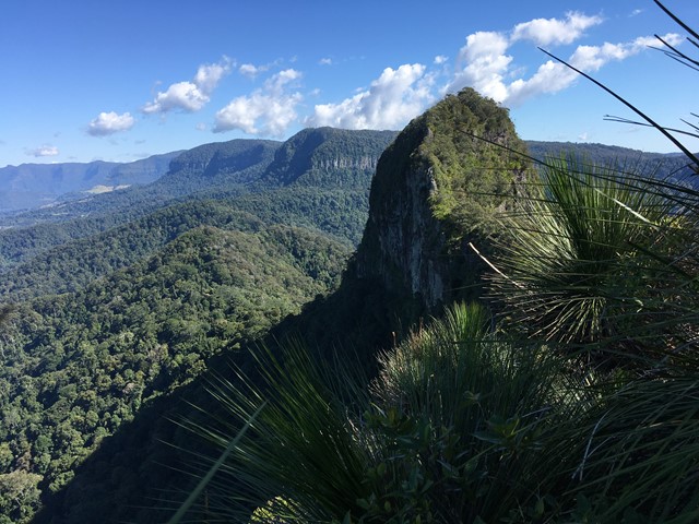
Mt Cougal
Springbrook National Park
A walk along the border fence line to the twin summits of Mt Cougal. There are excellent views from the top!
It is hard for beginners. Make sure you check weather. Finding location is a little hard. When arrive see steel gate that states ‘please keep gate clear ta’ On side of gate you can enter, when pass the gate look to your left and see sign with with instructions. Don’t be discouraged when you start, it is a little scary, but it gets easier, but still lots of hill. Follow the barbed wired fence on your left the whole way. The track will go from very narrow to comfortable in some places. Once you reach the last 700 metres or so... it becomes much harder. You will see a thin rope to guide you - do not use this to pull you up as it will break!! You will come to a spot where the track will seem to end. Look for a tree that has arrows etched into it to guide you where to go. There’s also a small pink ribbon tied to a tree branch Up further. You have to go up! It’s hard but worth it.
 17
km
return
5
hrs
17
km
return
5
hrs
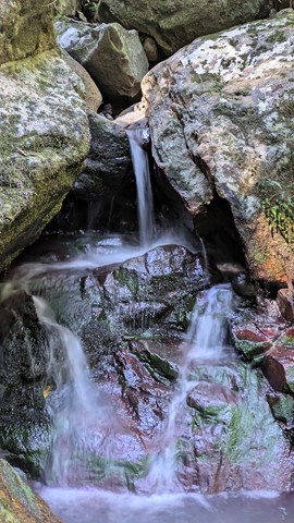
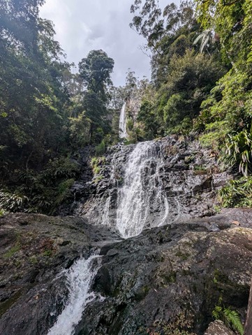
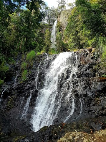
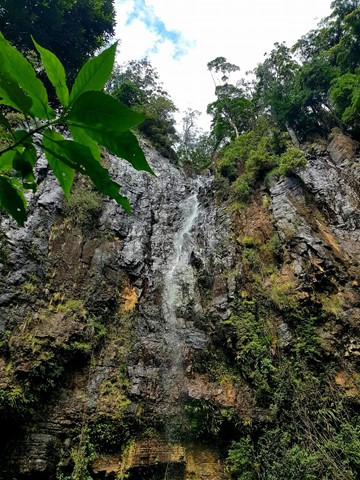
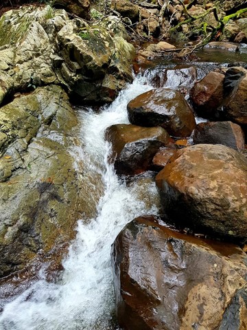
Warrie Circuit
Springbrook National Park
Beautiful walk through the valley. Pass and go through lots of waterfalls and rainforest.
Stop at Apple Tree Park for toilet stop on way. Circuit is another 5-10min drive from there.
Public toilets are also located at Tallanbana Picnic Area approximately 300m on the right before Canyon Lookout where Warrie Circuit begins - toilets are set back off the road and can't be seen from the road, but, they're there just behind the picnic tables.
Cuts across the Ngarri-dhum Falls a few times in one half, and the Little Nerang Creek in the other half. The half way point is the Meeting of the Waters where (as the name suggests) the two creeks meet.
 1.6
km
return
1
hr
1.6
km
return
1
hr
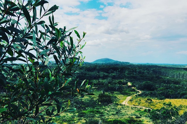
Emu Mountain (Mt. Peregian)
Sunshine Coast
An easy family walk up this hill with great views of the Sunshine Coast.
 6.8
km
3
hrs
6.8
km
3
hrs
Sliding Sands Trail
Haleakalā National Park
Hike down into the huge crater (11 km across) of an inactive volcano. The crater is mostly eroded. There are two gaps in the sides of the crater walls that water has eroded through over the centuries. The interior of the crater is sandy and desolate and contains many cinder cones (sand hills formed from smaller volcanic activity).
 1
km
30
mins
1
km
30
mins
ʻĪao Needle Lookout Trail
Maui
An eroded volcanic core (similar to Glasshouse Mountains, Queensland) nestled within a deep valley.
6.1
km
2
hrs
Swinging Bridges Trail
Maui
Hike through rainforest and across two swinging bridges (think Indiana Jones) over a stream.
 6.6
km
3
hrs
6.6
km
3
hrs
Kīlauea Iki
Hawaii Volcanoes National Park
Kīlauea Iki is a smaller caldera located next to the larger more active Kīlauea caldera. Since the Kīlauea caldera floor has been closed to hikers due to volcanic activity, Kīlauea Iki is as close as you're going to get. The Kīlauea Iki trail starts on the crater rim and drops down to the caldera floor. You get to walk across the entire breadth of the caldera floor seeing different kinds of lava, stream vents, sulphur, and all that volcanic goodness.
2.8
km
1
hr
Sulphur Banks
Hawaii Volcanoes National Park
Walk through an area concentrated with stream vents. The vents are piles of rocks and out of them pumps a constant flow steam and sulphur dioxide. You can get up right next to them. The gas coming out of them is warm to hot and suffocating. The rocks are covered in a coating of crystalline sulphur.