
Menu
Suggested searches
Your search found 2398 results...

 15.4
km
one-way
15.4
km
one-way
 6
hrs
6
hrs
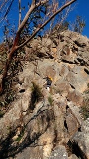
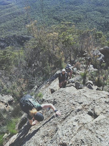
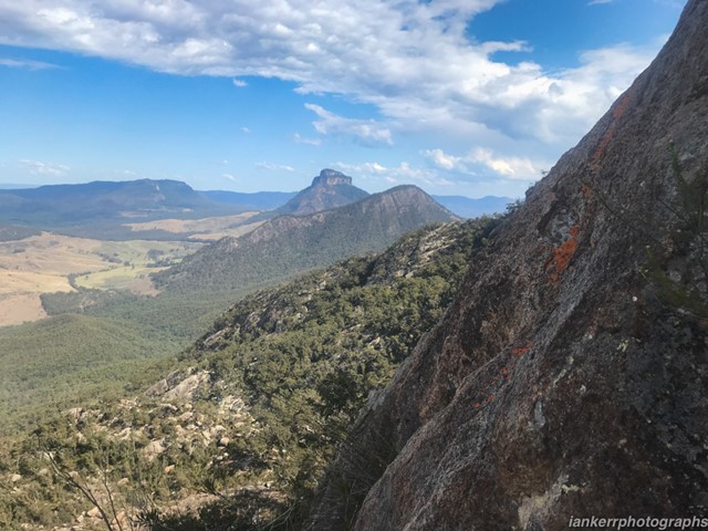
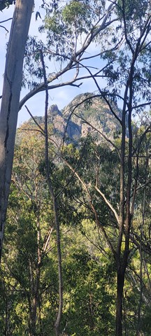
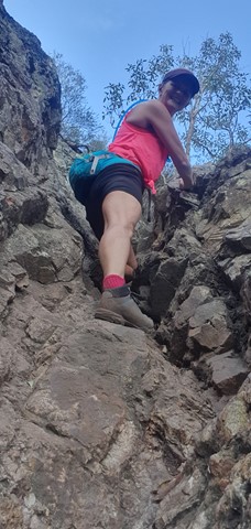
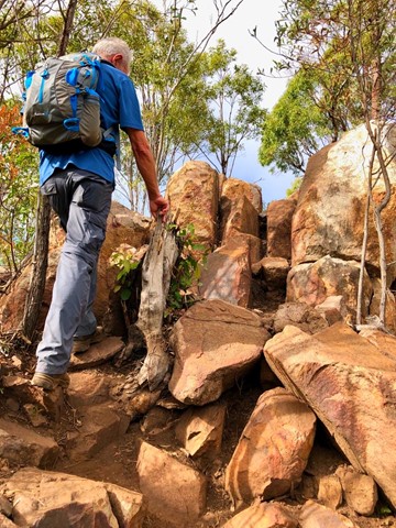
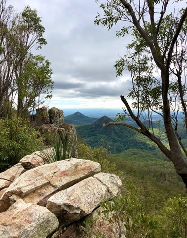
Mt Barney - East Peak - Up Logan's - Down South
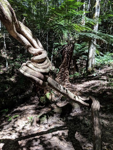
Mt Barney National Park
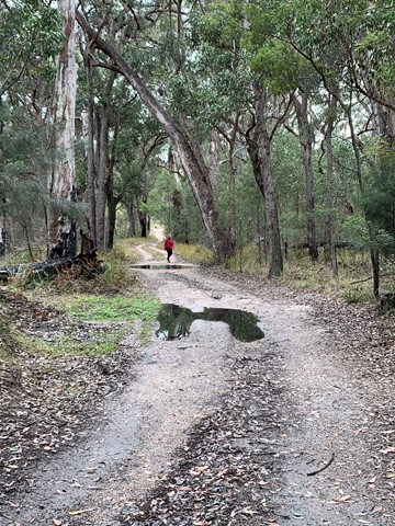
The original route taken by Captain Patrick Logan & Allan Cunningham. AC actually gave up leaving Logan to climb on alone. It's the steepest, sharpest most direct route up to East Peak short of needing ropes, harnesses and belays etc. The views are spectacular. Rock scrambling experience, sound navigational skills and a good head for heights are an absolute must for this walk. NEVER climb it alone. There have been dozens of rescues off this ridge, don't be next. Extensive signage recently installed at Yellow Pinch do not mention Logan's Ridge, for good reason.
 11
km
one-way
3
hrs
11
km
one-way
3
hrs
Esk to Ottaba - Part of BVRT
Brisbane Valley Rail Trail
Approximately 11kms along the Brisbane Valley Rail Trail. Very exposed, but pleasant walking.
 4.5
km
return
3
hrs
4.5
km
return
3
hrs
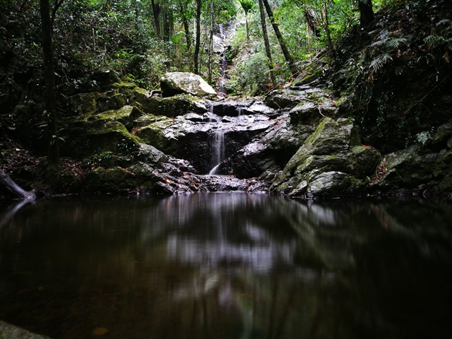
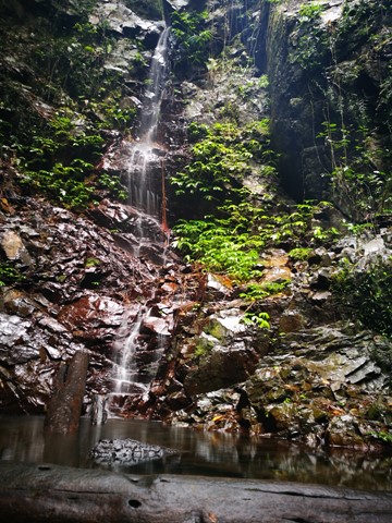
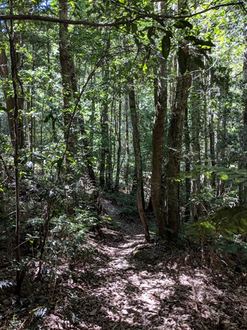
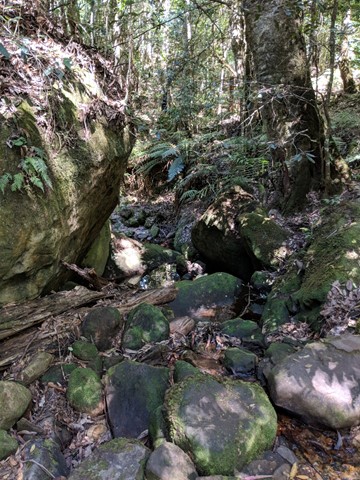
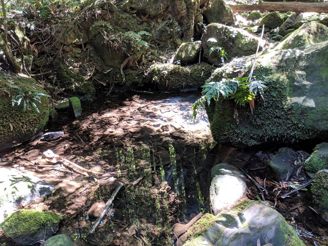
Upper Kobble Creek South Branch
D'Aguilar National Park
A nice rainforest walk that starts along and old logging trail then ends up going bush for the last stretch downhill to the creek and waterfall.
 600
m
return
15
mins
600
m
return
15
mins
Coachwood Glen Nature Trail, Megalong Valley
New South Wales
Short walk through Megalong Valleys rain forest
 600
m
return
30
mins
600
m
return
30
mins
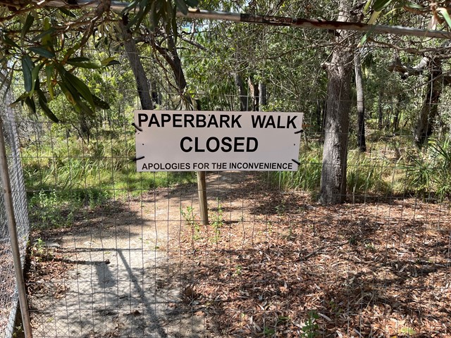
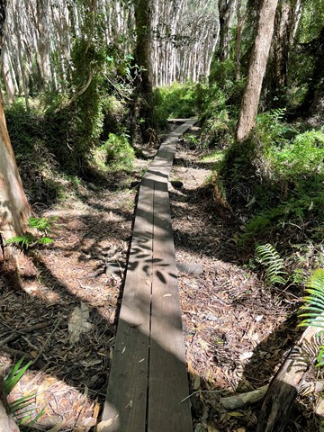
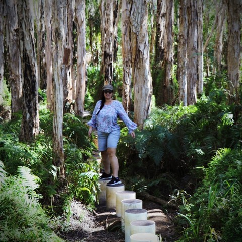
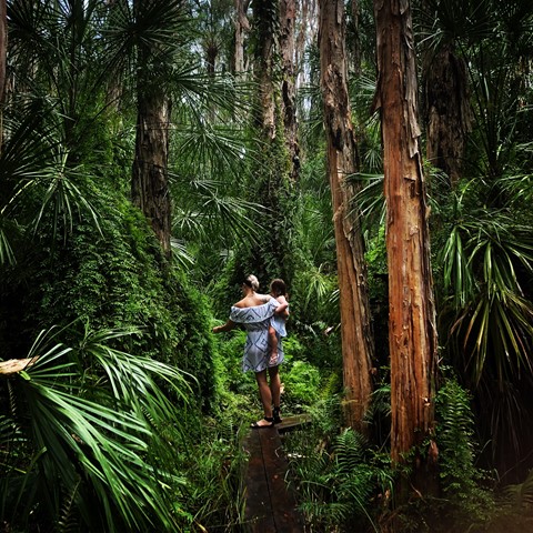
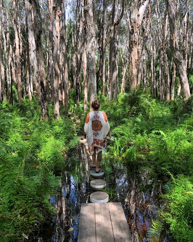
Paperbark Forest Boardwalk
Central Queensland
*** The Paperbark Forest Walk is closed. Reedy Creek Reserve is a small conservation area which unfortunately become overwhelmed by visitors, to the point where the walk, the forest and wetlands were being damaged. Literally thousands of people were visiting the site, ignoring the signage and causing the walk, the road and car park to become a foot and vehicle traffic jam. Please do no attempt to access the boardwalk or enter the reserve. ***
This short trail is an exciting walk for all the family, with stepping stones, boardwalks and water crossings as you meander through a magnificent and picturesque Paperbark Forest.
 5.6
km
return
2
hrs
5.6
km
return
2
hrs
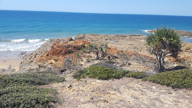
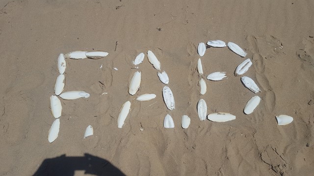
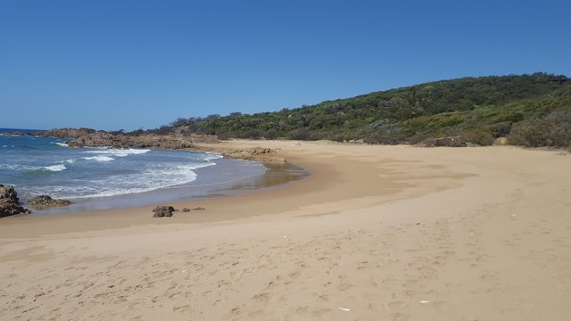
Red Rock Walking Trail
Central Queensland
This picturesque walk crosses three beaches and corresponding headlands to Red Rock Headland, providing beautiful coastal scenery along the way. It is not uncommon to see a family of wallabies in the shade of one of the headlands, as well as White Bellied Sea Eagles cruising over the water.
 17
km
return
4
hrs
17
km
return
4
hrs
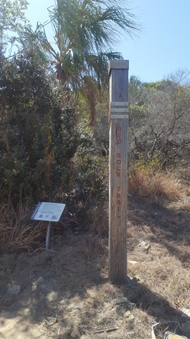
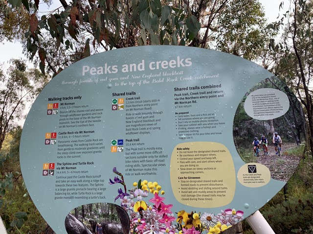
Peak and Creek Trails
Girraween National Park
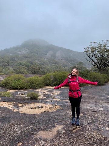
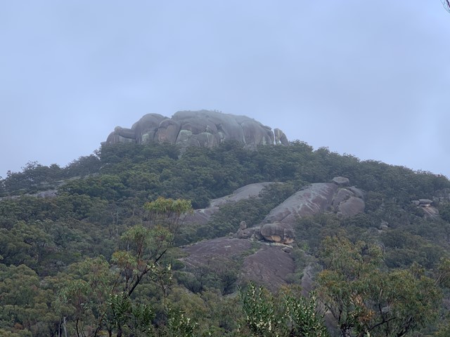
Today we drove the Mt Norman day use area on mt Norman road and set off on the Peak trail. A non strenuous walk with a lovely view of Mt Norman. Until we got to the end of Peak trail where there is a junction to join creek trail. We chose to take the left fork after a few hundred meters we came to a pretty rock clearing with lovely water path ways across it. It has been raining a fair bit and was drizzling at the time. Finding the exit from this rocky outcrop was really hard there were no visible markers and after much hunting we found a trodden path and followed it. After about 1 km we found ourselves at underground creek which we had been to the day before so thankfully knew where we were, as underground creek has no signage at it. These two paths are not even meant to meet up, clearly the well trodden path we had taken is one many others have found themselves confused by and ended up at. We carried on to the dr Roberts day use area and trekked back along Pyramids road and back onto mt Norman road to the northern day use area and set ourselves back on course of the creek track. To be honest after the lovely view of mt Norman there’s isn’t really much else going for the hike. It’s quite a monotonous hike, but if you want to mountain bike it it would be an awesome challenge. The great thing for us was we didn’t see anyone else at all.
 6.4
km
return
2
hrs
6.4
km
return
2
hrs
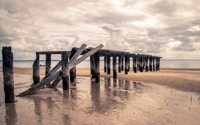
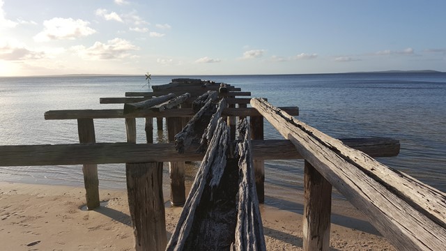
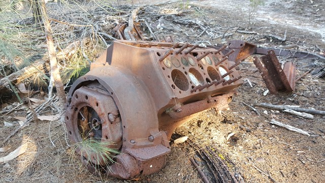
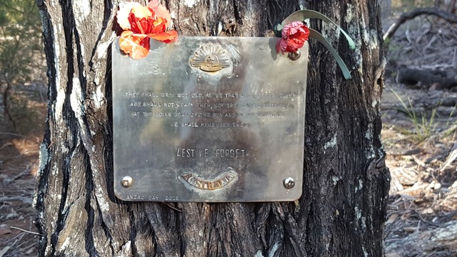
WW2 Commando School Walk
Great Sandy National Park
Z Special Unit was a joint Allied special forces unit formed during the Second World War to operate behind Japanese lines in South East Asia. Fraser Island was one of a number of training grounds for Australia's Special Operations programme during World War II.
 8.7
km
one-way
2.5
hrs
8.7
km
one-way
2.5
hrs
Telegraph Track
Moreton Island National Park
Park at Mt Tempest. Listed as a 4-6 hour return hike but i completed it in 2.5 hours as a fit solo walker.
All sand being located on Moreton Island and you certainly work the calves as a result! Some elevation but nothing major. Some good views to the Pacific Ocean when your high enogh on some of the climbs.
Great walk full of birds and lizards running around the place with no sight of snakes the day I walked. Good thing to do when tour living on the island 🌴
12
km
return
3
hrs
Flinder’s Peak Circuit - approach from South
Ipswich - Flinders Goolman Conservation Estate
A different way to get to Flinder’s Peak - follows fire trails East of the summit then approaches from South and South West - joining the trourist trail just before the chimney up to the summit. Back down the chimney and follow the standard tourist trail down to the carpark.