
Menu
Suggested searches
Your search found 2371 results...

 800
m
return
800
m
return
 20
mins
20
mins
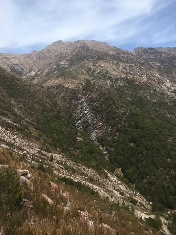
Horsetail Falls
West Coast Tasmania
A seasonal waterfall the cascades over 50 meters down a steep cliff face, best seen in winter and spring.
 4.7
km
return
1
hr
4.7
km
return
1
hr
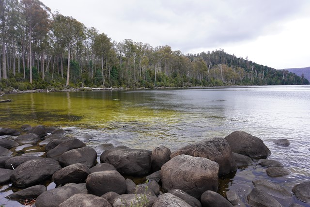
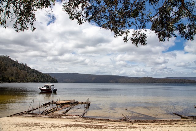
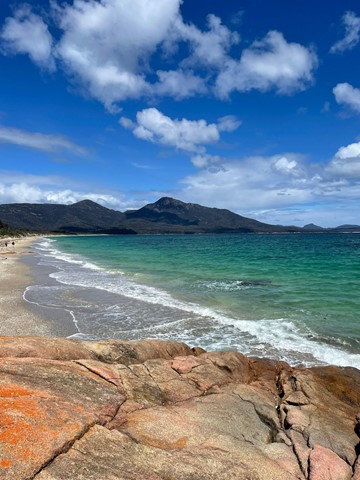
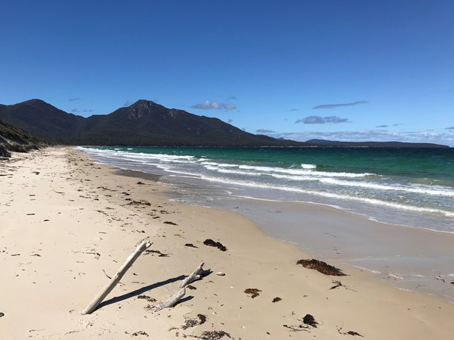
Platypus Bay
Cradle Mountain-Lake St Clair National Park
An easy walk to a nice beach, with a nearby "hide" for viewing platypus (best at dawn and dusk).
This easy walk follows the crest of glacial moraine for part of it's route and takes you through eucalypt and then rainforest to the junction of the Cuvier and Hugel Rivers. in Spring and summer many wildflowers, including acacia, waratah, hakea, orchid and leatherwood are in flower. Many birds and other wildlife including wallabies, pademelons, echidnas and tiger snakes make be seen on the walk.
From Cynthia Bay at Lake St Clair, three varied short walks offer a taste of the southern end of the famous Cradle Mountain-Lake St Clair National Park.
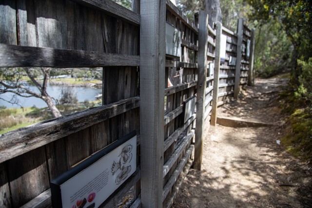
The lamairremener tabelti walk offers an insight into the Aboriginal people who lived around leeawuleena (Lake St Clair) for thousands of years.
The Watersmeet Walk takes you to the confluence of the Cuvier and Hugel rivers. A short walk beyond that is a loop to Platypus Bay, where platypus are sometimes seen. All three walks can be combined for a 4.7km figure-of-eight loop.
 11.5
km
return
4
hrs
11.5
km
return
4
hrs
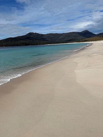
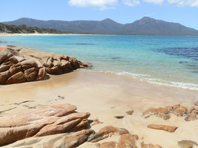
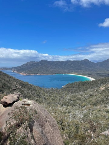
Wineglass Bay/Hazards Beach Circuit
Freycinet National Park
A walk to Wineglass Bay and then across the isthmus to Hazards Beach, and around Mt Mayson to return to the carpark.
 200
m
return
15
mins
200
m
return
15
mins
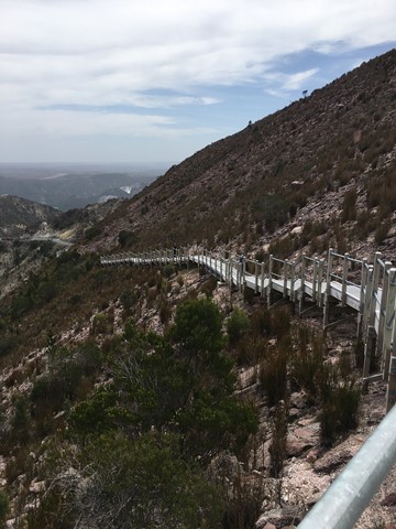
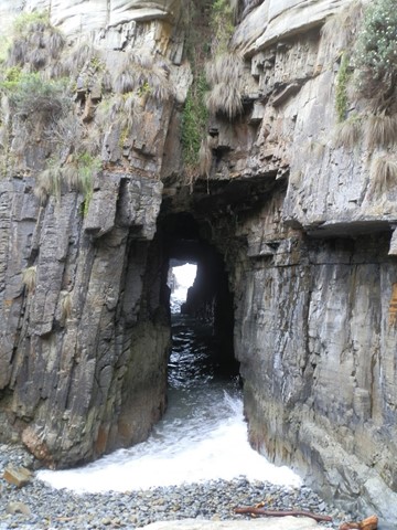
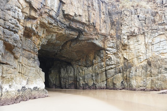
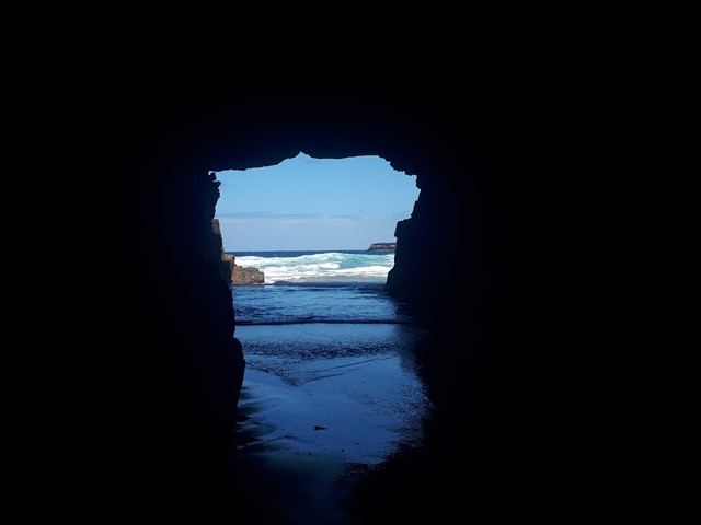
Remarkable Cave
Tasman National Park
A short boardwalk to a lookout over a tunnel/cave that leads out to sea.
 300
m
one-way
10
mins
300
m
one-way
10
mins
Gray Mare’s Tale Waterfall
East Coast Tasmania
A seasonal waterfall just outside of St Marys, Tasmania
700
m
one-way
30
mins
South Sister
East Coast Tasmania
A lookout that give 360 degree views north to St Helens and the Bay of Fires, west to Ben Lomond National Park and south to Bicheno and Freycinet National Park.
 3
km
return
2
hrs
3
km
return
2
hrs
Burringbar Mountain
New South Wales
Nice walk on a single trail to the top of Mt. Burringbar after which the mountain range is named.
Offers some views through the trees down to the coast.
 14.1
km
return
4
hrs
14.1
km
return
4
hrs
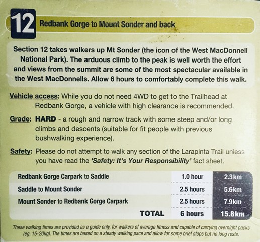
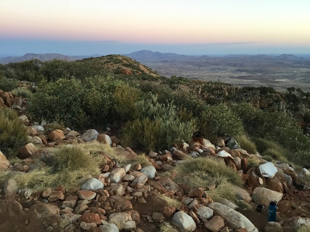
Mount Sonder
West MacDonnell National Park
Great Views - Highly recommended!
Just over 14km return from the car park.
Well worth the hike to the summit for sunrise, well maintained track with reflective markers.
Steep steps approx 1km from the carpark. Once pass the 3km marker ground is relatively flat with gradual incline.
Good rest spot Approx 5.5km, caution required when approaching in windy conditions or at night exposed steps.
Return via same track, very little shade on return and temperatures can vary rapidly. To avoid heatstroke pack plenty of water and a hat. In colder months warm layers of clothing and wind proof jackets are a must!
 5.4
km
return
3
hrs
5.4
km
return
3
hrs
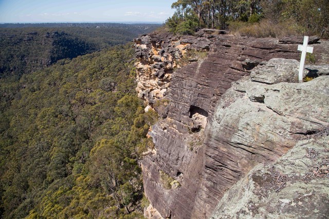
Martins Lookout to Lost World Lookout
Blue Mountains National Park
A half-day walk with nice views in the lower Blue Mountains – be prepared for some short but tough climbs. Starts at Lost World Lookout before descending to the bottom of the valley, and back up the other side to Lost World Lookout. Steep and rough track up from the creek, but nice views once you reach the ridge on the opposite side.
 6.3
km
return
2
hrs
6.3
km
return
2
hrs
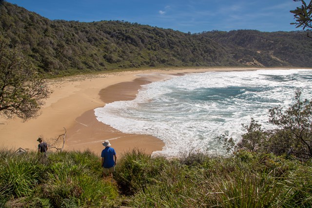
Steamers Beach
New South Wales
Steamers Beach is a surf beach accessed by a rough 4WD track, which can also be combined into a longer circuit. A nice and relatively secluded beach. The high, vegetation-covered sand dunes behind the beach are a result of a “mega tsunami” which occurred around 6700–7000 BC.