
Menu
Popular Walks
-
Permanent Water Hole / Ooline Creek
(8 ticks) -
Red Rock Gorge
(4 ticks) -
Ooline Creek
(2 ticks) -
Western Circuit
(2 ticks) -
Red Rock Gorge Lookout Track
(1 tick)
Parent Regions
Popular Walks
-
Permanent Water Hole / Ooline Creek
(8 ticks) -
Red Rock Gorge
(4 ticks) -
Ooline Creek
(2 ticks) -
Western Circuit
(2 ticks) -
Red Rock Gorge Lookout Track
(1 tick)
Parent Regions
History
Any interesting history for the region?
Features
What are the standout bushwalking features?
Access
How do you get there? Include all access points if there are many?
Maps
Which maps cover the region?
Accommodation
Where can I stay there? or near there?
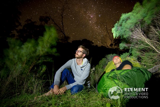
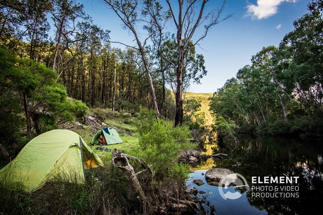
Camping
Other
Contact details
https://parks.des.qld.gov.au/parks/sundown
Walks in Sundown National Park

 8
km
return
8
km
return
 3
hrs
3
hrs
Macallister Creek
Another walk up a dried out creek bed- depending on season and rainfall. We finished when we reached a very narrow gorge that ended in a vertical waterfall drop with no way up. We did try to follow a faint footpad up and around to continue, but time was against us. This is part of a 2-3 day walk, but we only did this first bit. It was extremely interesting, with lots of rock pools and gorges.
 2.5
km
return
1
hr
2.5
km
return
1
hr
Mount Lofty
From Red Rock Gorge Campsite pick up the old National Park boundary fence and follow this rough line to the summit.
8
km
return
3
hrs
Ooline Creek
A pleasant walk up a creek bed. Rock pools, waterfalls- most probably dry,
 37
km
return
3
days
37
km
return
3
days
Ooline Creek - Blue Gorge Circuit
35km Minimum walk through Sundown National Park. Details to be updated
 1
km
return
30
mins
1
km
return
30
mins
Permanent Water Hole / Ooline Creek
Permanent Waterhole / Ooline Creek is a walk in Sundown National Park. Its an easy walk along a clear path.
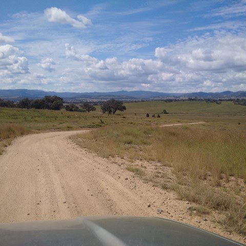
Located On the Queensland – New South Wales border, 250 km south-west of Brisbane via Stanthorpe and 70 km north-west of Tenterfield.
Sundown is a rugged wilderness area of spectacular sharp ridges and steep-sided gorges. The Severn River and its tributaries, woodland birds and remains of pastoral and mining heritage can be discovered via maintained walking tracks, challenging remote walks or the four-wheel-drive (4WD) track.
 7.6
km
return
3
hrs
7.6
km
return
3
hrs
Rats Castle & Hell Hole Circuit
Starting where the 4wd track starts to get particularly dicey as it begins the last drop to the Severn River follow the 4wd track down to the river which you will cross and follow down stream (this will be one of a few river crossings you will need to complete if the water level is high enough). Once you reach the circuit part of the walk this is where you will come across the main features of the walk. Described anti-clockwise you will first head up a steep section to a saddle which has a worthwhile detour to 'Hell Hole Peak' the small knoll that sits above the bend in the river and offers great views to the North and East. Then you descend to The Hell Hole a waterhole in the river and follow the river around to beneath the Rats Castle where you will cross the river and close the loop crossing the river once more before returning the way you came.
16
km
return
4
hrs
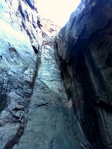
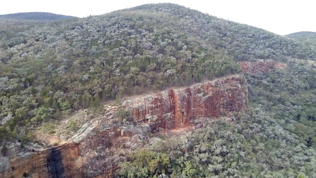
Red Rock Gorge
This is the entrance to Sundown NP via Sundown Rd. This IS a 4WD track . Gravel road to access entrance of park would recommend SUV or 4WD only .
If SUV leave you car at gate and follow the track. Signs along the way and about 8km one way from gate,
 500
m
return
30
mins
500
m
return
30
mins
Red Rock Gorge Lookout Track
A short walk from Red Rock Gorge Campground to the Red Rock Gorge Lookout where Red Rock Falls flows in the wet.
90
mins
Western Circuit
A fairly easy but very picturesque walk. Lots of wildlife, beautiful wildflowers and eucalypts.