
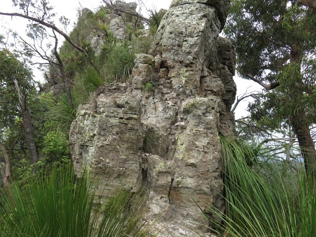
Springbrook Pinnacle
Springbrook National Park


Menu
GPS Tracks
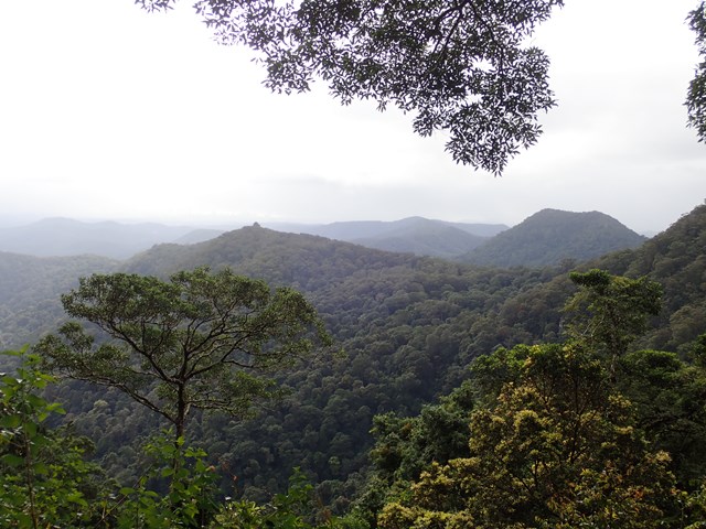

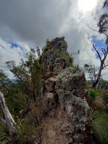


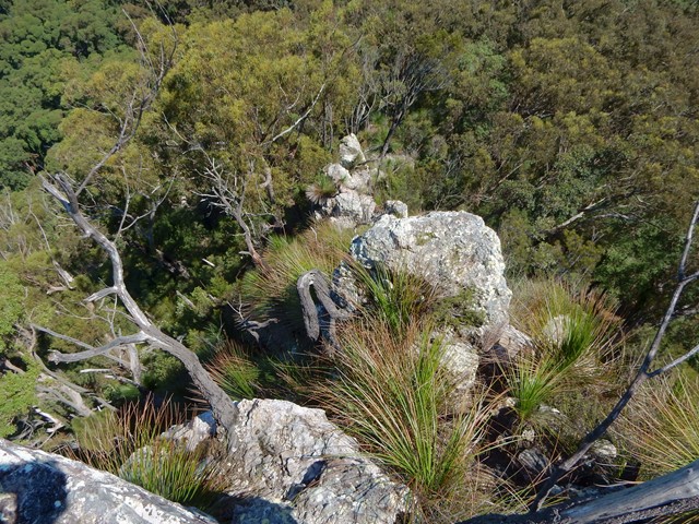
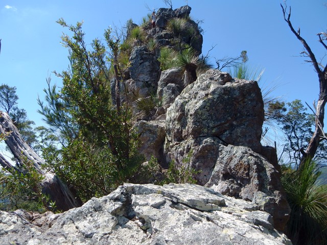
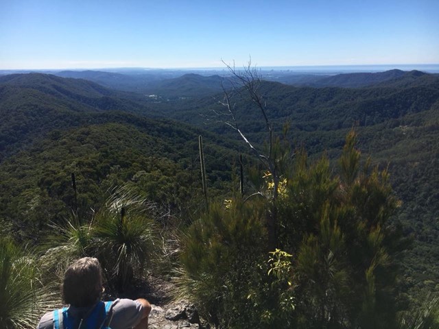
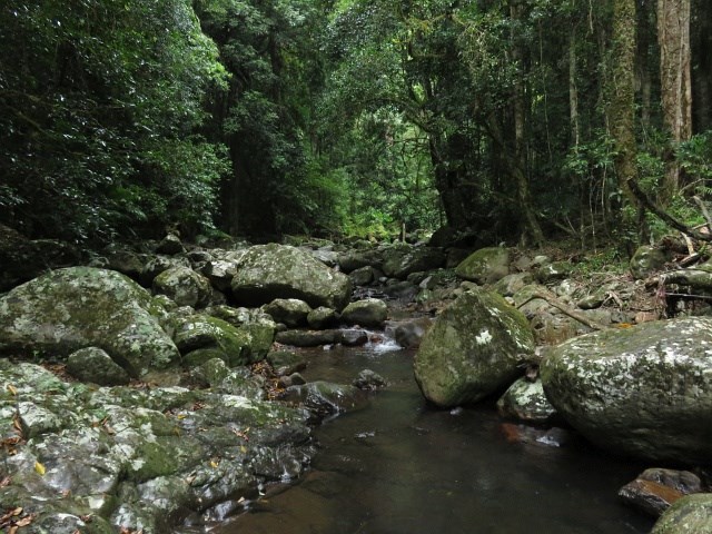
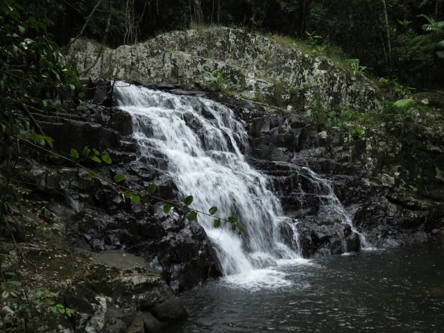
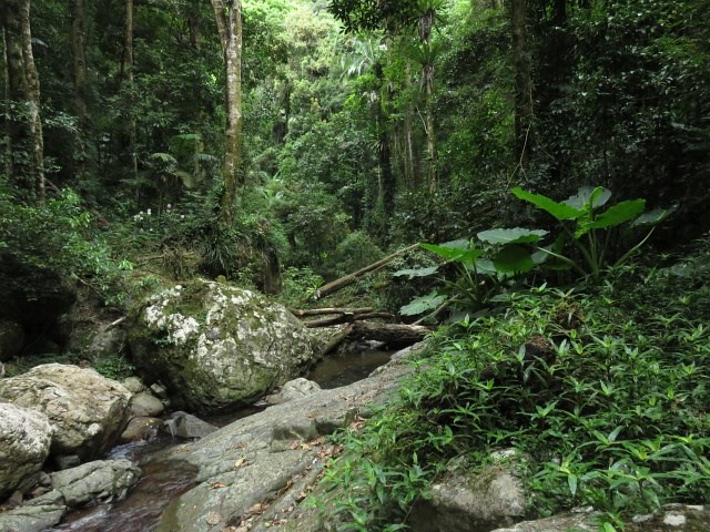

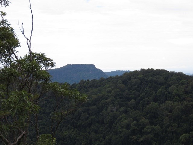

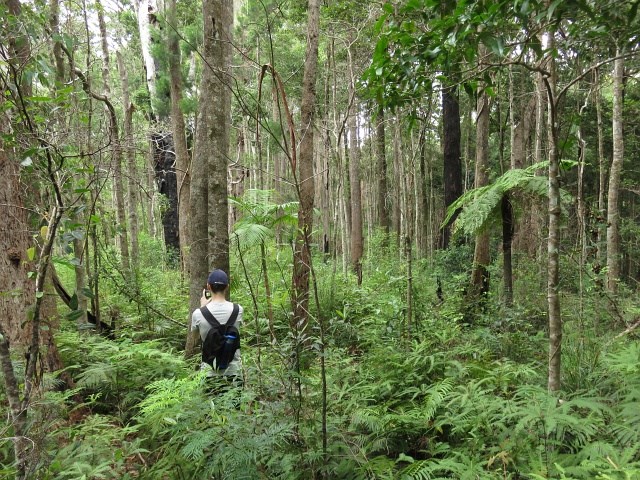
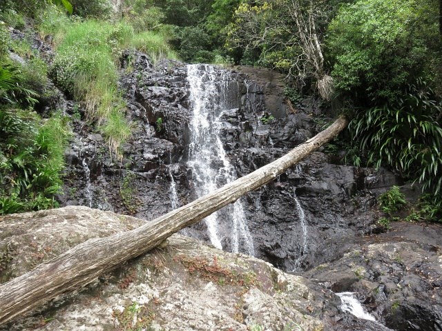
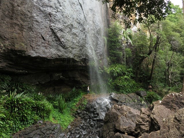

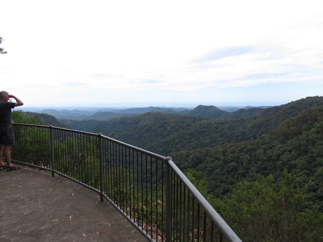
This walk takes you to the Springbrook Pinnacle via the Warrie Circuit. The Pinnacle requires scrambling but offers 360 panoramic views. The Warrie Circuit goes through rainforest with many waterfalls to see and go under.

Getting there
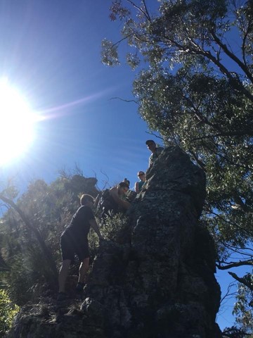
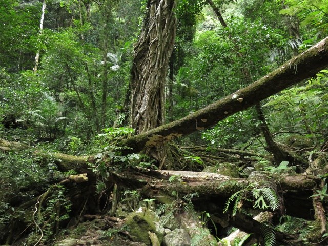
starts at Tallanbana picnic area.start the warrie circuit and work your way down until you reach somewhere near where the track turns back around 135 degrees left around three large trees in a triangle formation from there stray off the track and go bush! Turn on your gps and punch in (lat 28* 12' 12'' S) (lon 153* 17' 46'' E)follow the ridge line and try keep as high on top of it as you can and from there continue until you reach the end where you can either go left or right, go right and then follow your gps, once you reach the base of it, take a good glance and put safety first, if you don't have a strong climbing/scrambling background it might be best not to summit the scramble, up to the summit is probally a grade 2 on the australian sport climbing scale, its recommended to even take harnesses, nuts/hexs, quickdraws, slings and a alpine rope and mabye a few free biners just to be safe and use them in a glaicer travel style manner. Return the way you came and continue the Warrie Circuit.
Maps
Which maps cover the area?
Route/Trail notes
A detailed description of the walk!
Permits/Costs
Nil
Other References
Take a Walk in South-East Queensland, p168, ISBN 9780957793170
 Pinnacle via Warrie Circuit (GPX)
 20
20 7
7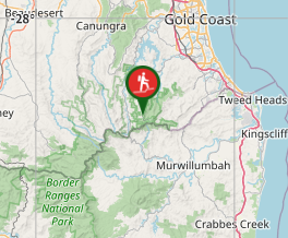
Comments