


Menu
GPS Tracks
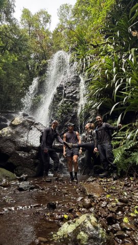
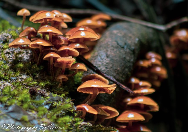
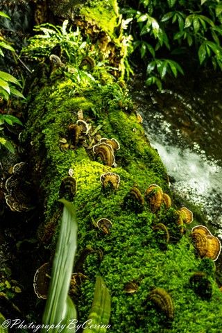
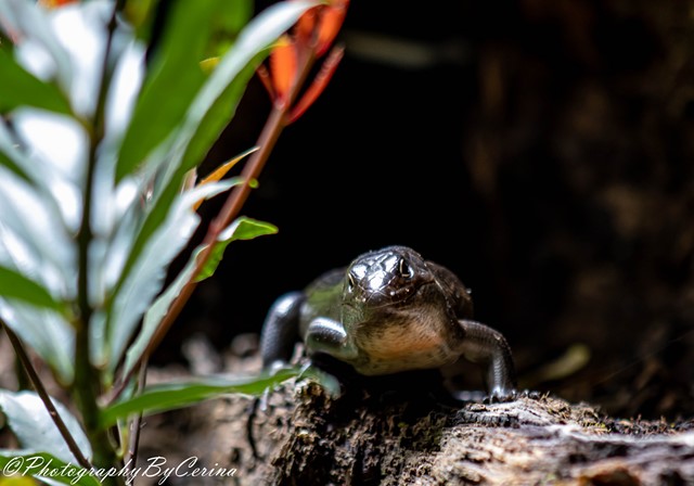
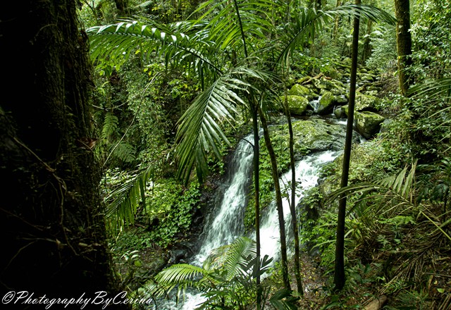


A beautiful walk along Toolona Creek and an endless number of waterfalls! Many creek crossings and beautiful, lush areas deep in the valley.


Getting there
From the Canungra township take Lamington National Park Rd. Follow until arriving at O'Reilly's where there is plenty of public parking. The trailhead is 100m up the road from here.
Maps
http://www.nprsr.qld.gov.au/parks/lamington/pdf/lamington-green-mts-map.pdf
Route/Trail notes
Descends from the border track to Picnic Rock, with a short detour Elabana and Box Log Falls can be reached. The track then meets Toolona Creek and follows it up until meeting the Border Track. Wanungara (with a short detour) and Toolona lookout can be reached while completing the circuit and returning via the Border Track.
Permits/Costs
Free, camping at mount Bithongabel remote bush camp is subject to standard NP camping fees.
Other References
GPS Tracks
 Toolona Creek Circuit 9 Aug 2016 (GPX)

 19.8km return
 7hrs
Where
 Map data © OpenStreetMap contributors. Terrain: © Geoscience Australia.
Comments