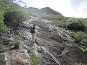
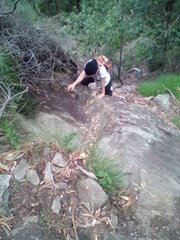
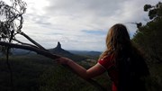
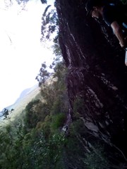
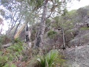
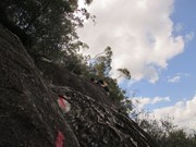
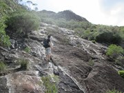
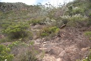
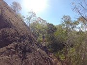
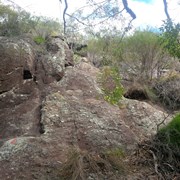
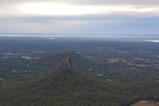
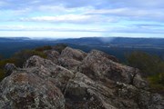
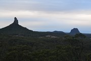
With the summmit track closed due to a massive rockfall in 2008 this is an alternative route to the summit. It is quite steep and exposed in places and not recommended if you don't have a head for heights.

Lookouts
Scrambling or Climbing
No Dogs Permitted
556m
Maximum Elevation
385m
Total Climb

PLEASE NOTE: This route should be considered a rock climb, not a walk. Please ensure you have adequate safety equipment and training before attempting this.

Route/Trail notes

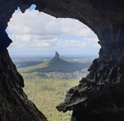
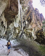
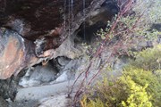
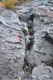
Park in the carpark at the base of Mt Beerwah. Walk back along the road a couple of hundred metres and look for a faint footpad heading towards the mountain. Follow this down into a gully and cross a small creek. Sidle along the left hand side of the mountain and cross 3 or 4 gullies before climbing a ridgeline. The track from here is well marked with pink flags and red paint on the rock. It wanders right and left until eventually reaching the base of a cliffline. At this point the track either goes right or left. The left track follows the base of the cliffline before reaching some caves. It then swings right up the ridgeline for the final ascent to the top of the mountain.

Permits/Costs

No permits or cost.


GPS Tracks

  • No GPS available for this walk yet.

Comments

Good climb, happy to find another route to Mt Beerwah when Summit walk stays closed.
The path leading into the bush starts from main road, about 80m back from the carpark entry but not well visible from the road. Once found, it is easy to follow.
We found the spot where tracks goes left (Caves) ridge or right ridge (just above the organ pipes), it is below the summit wall few minutes above steeper part of the climb (wedging crack etc). I'll try to post a photo...
Thanks

igorh on 10 Oct, 2014

After a thunderstorm in the early hours of the morning this track up the east face was more of a river than a track with lots of water coming down.

Grumps on 17 Aug, 2014

Did this many times even with rain (slippery but not necessarily dangerous). The spray painted way (added in recent years) is the easiest way up the east side and fairly easy to follow. The original East Beerwah route is slightly harder and very bushy, goes up and right of the big cave and is not easy to follow until you get to the upper cave section. For sure this is a "wilder" version of the north face hiking route and very rewarding for the bushwalker especially if done early morning with the sun following you up the eastern slabs.

Anonymous on 18 Sep, 2012

I think it was 2006. So satisfying to get to the top! Firstly, there's that rock face to get past; then climbing until you reach the shady retreat of the rock overhang; then the last and final ascent to the summit.
Slid a lot on my backside to reach the bottom. Torn denim shorts to remind me!

julieo on Nov, 2006

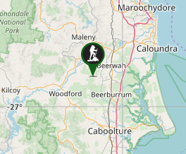
Where

Click here to load this map.

Nearby Walks

Done this walk?

This walk has been ticked 99 times

Aussie Bushwalking can keep track of your bushwalks.

Login/signup to tick this walk off.

Tick walks to keep track of where you've been. You must Login to tick walks. Accounts are 100% free so sign up if you don't have one.