
Somerset Trail
D'Aguilar National Park


Menu
GPS Tracks
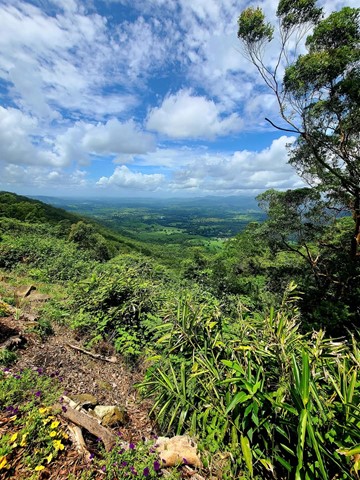
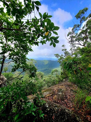
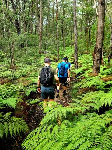

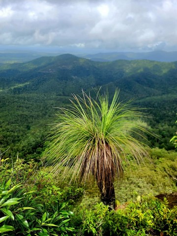
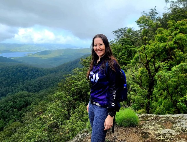
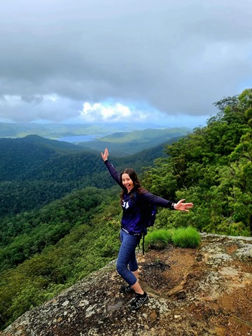
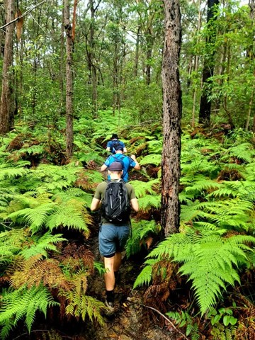
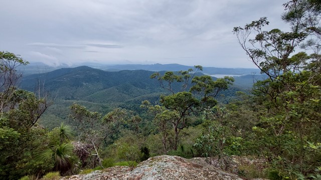
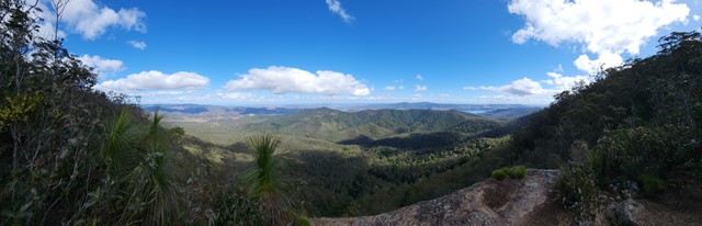
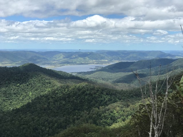
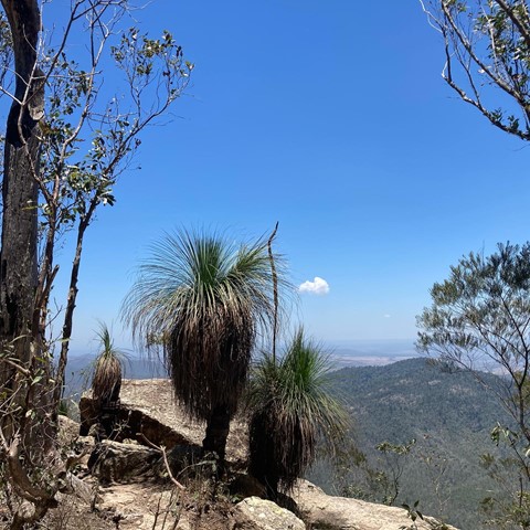
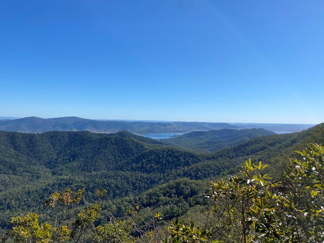
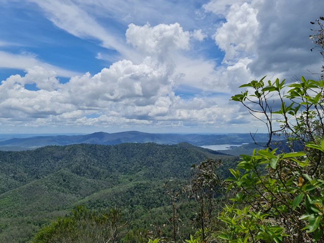

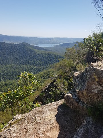
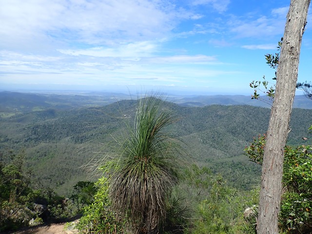
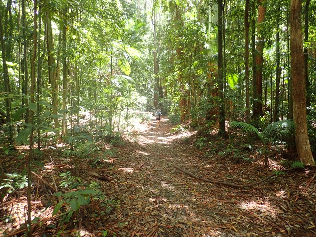
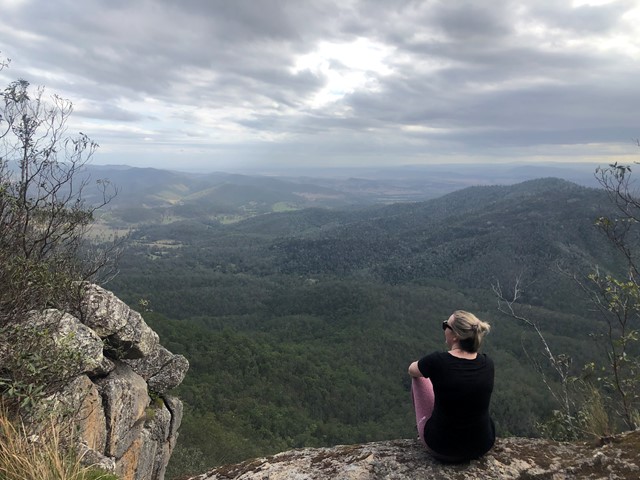
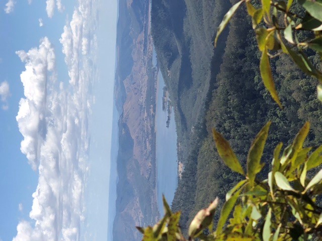
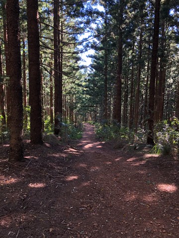
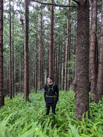
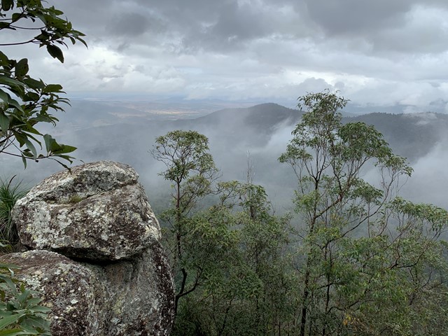
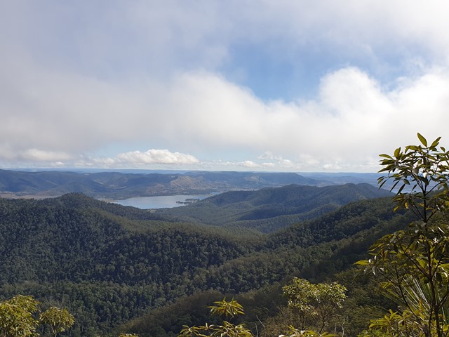

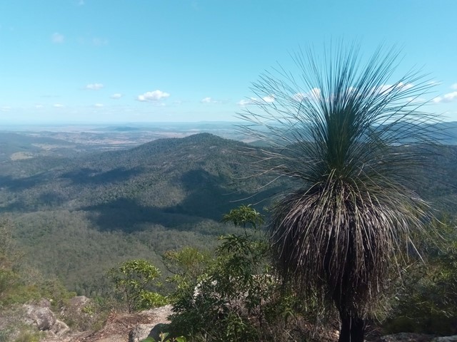
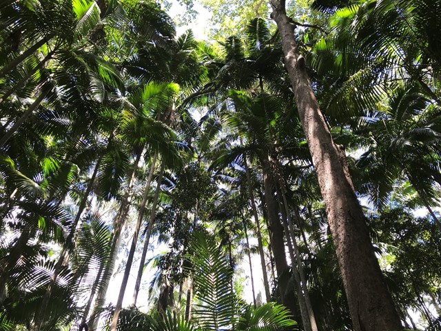
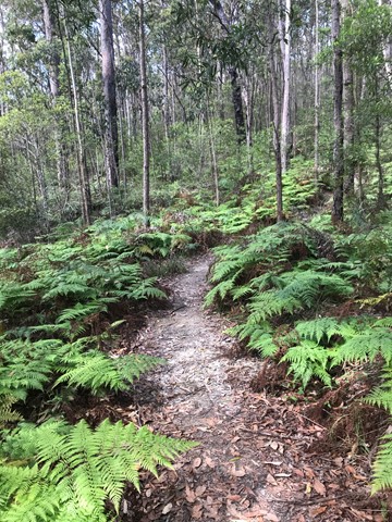
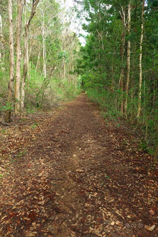
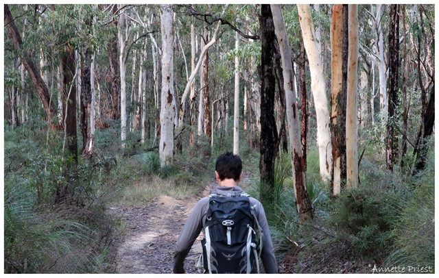
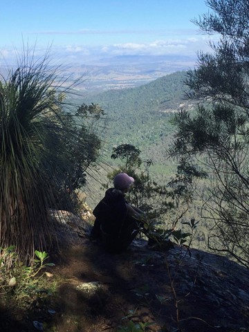
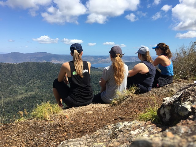
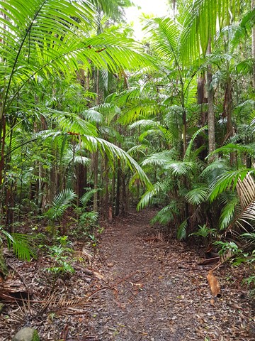
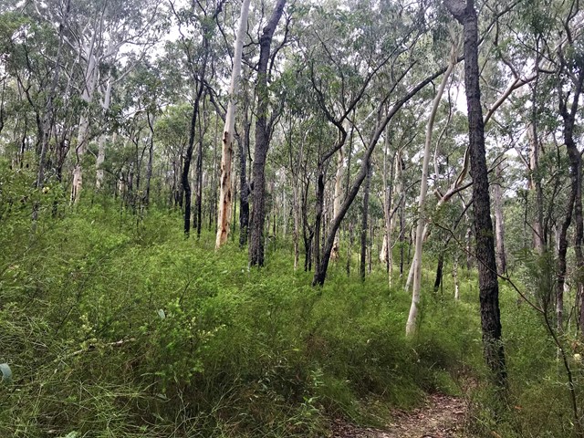
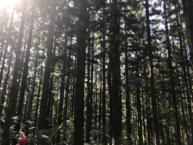
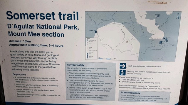
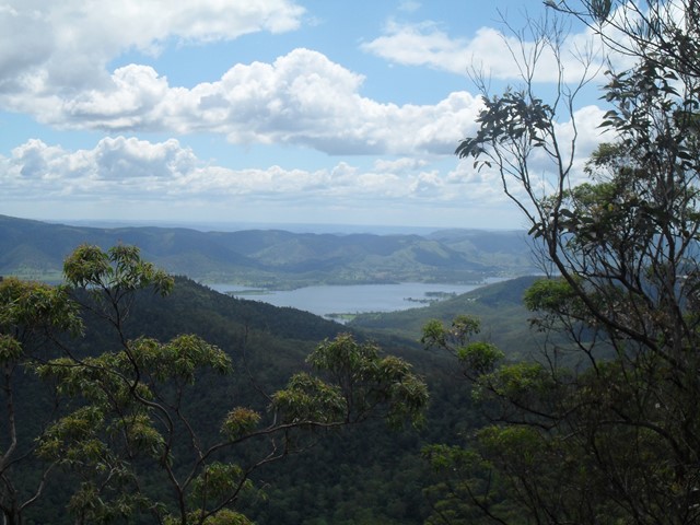

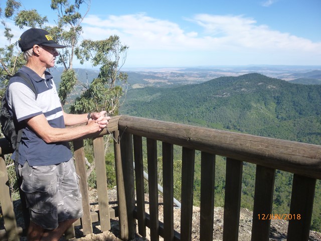

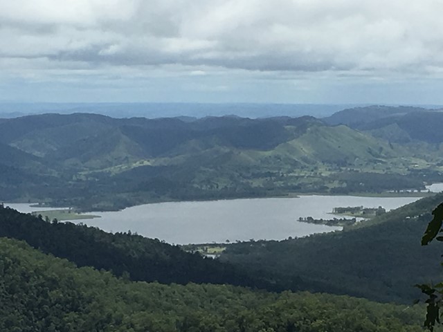
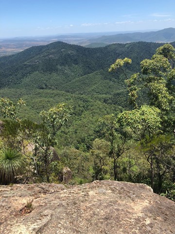
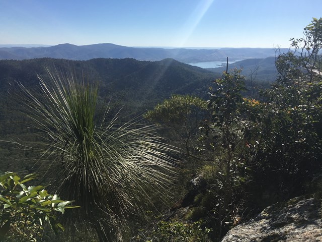


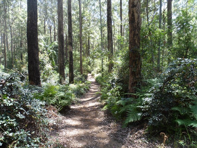

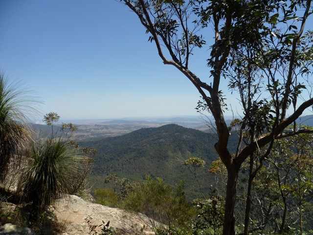
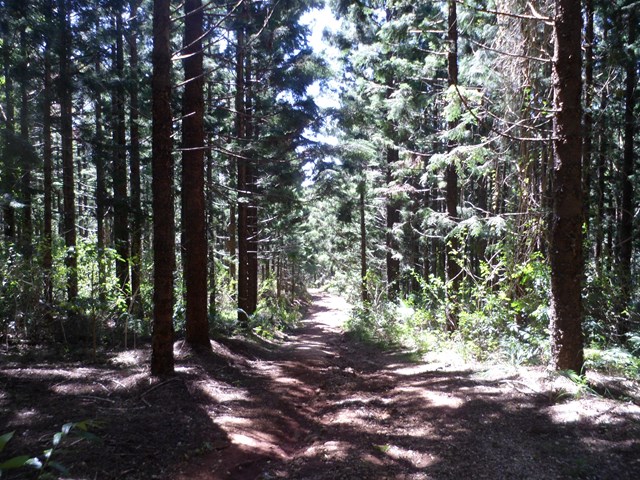
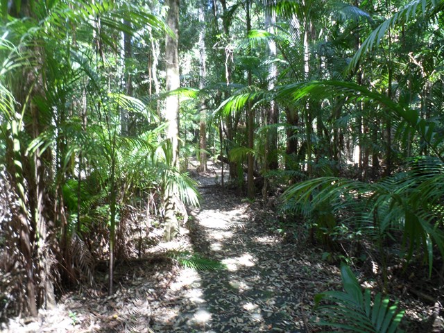
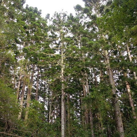
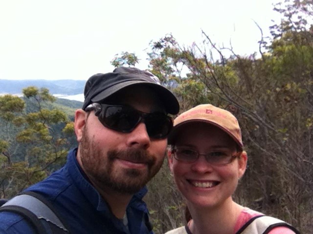
A pleasant circular walk through open and pine forest as well as pockets of rainforest. At around the halfway point, there are a series of lookouts over Somerset Dam to the north and Lake Wivenhoe to the south, with a backdrop of the far mountain ranges.
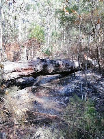
This area was heavily logged, hence the saw mill at The Gantry and evident by the 'plank' groves on some of the old tree stumps.


Getting there:
From the south, travel through Samford Village and Dayboro onto Mt. Mee Road (Tourist Route 29), before turning left onto Sellin Road and into the park (signposted). Park at The Gantry day use area.
From the north, turn off the D'Aguilar Highway at D'Aguilar just north of Woodford onto Neurum Road, turning left onto Stanton Road and right into Rasmussen Road, which leads to the northern entrance of the park. From here, you follow the long twisting 4WD Lovedays Road to The Gantry day use area. Not recommended.
Alternatively, turn off the D'Aguilar Highway at D'aguilar onto Mt. Mee Road, before turning right onto Sellin Road and into the park.
Maps:
None found.
Route/Trail notes:
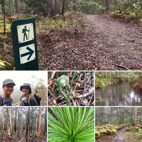
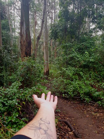
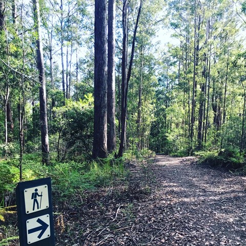
Walk back across the road from the Gantry and you will see the start of the trail clearly marked.
After 900m, you have the option to take the left fork and travel the trail clockwise out to the lookouts, which is 6km.
Or, take the right fork and the anti-clockwise trail for 7km to the lookouts.
The lookouts are a great place for a breather and lunch. Be careful about the drop offs as there is little fencing.
Permits/Costs:
None.
Other References/Comments:
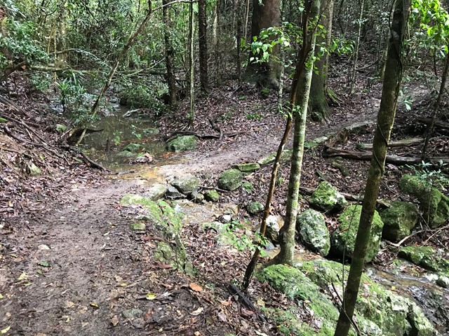
The trail criss-crosses 4WD, bike and horse riding tracks, so be careful. Although illegal, bikes have been known to come along the walking track!
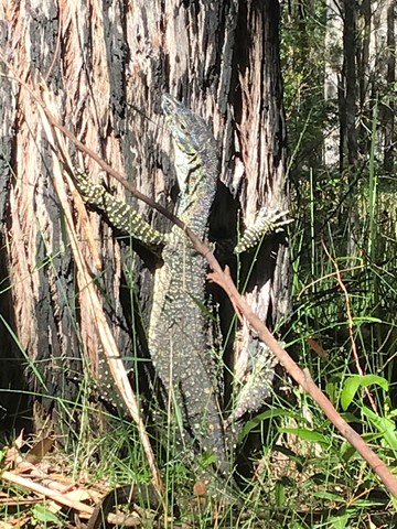
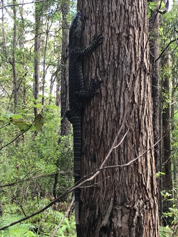
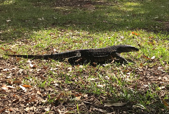
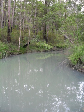
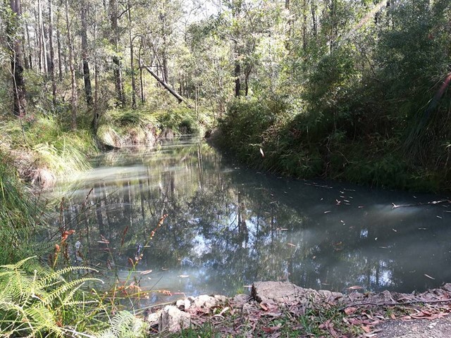
The day use area at The Gantry has toilets, picnic and BBQ facilities as well as a resident number of large guannas. You can also camp at Neurum Creek Camp and have a cooling swim at Rocky Hole.
Although an easy walk, it is a long one for the little ones and would take about 3-4 hours (up to 5 for those of lesser fitness), so take plenty of water and treats.
 SomersetTrail - Mt mee (GPX)
 13
13 3
3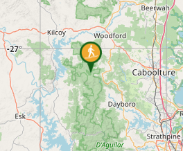
Comments