
Menu
Popular Walks
-
Mount Gravatt Summit Track
(106 ticks) -
Billai Dhagun Circuit
(93 ticks) -
Toohey Forest Trailhead to Mt Gravatt Lookout
(88 ticks) -
The Cliffs Boardwalk
(65 ticks) -
Tinchi Tamba Wetlands
(65 ticks)
Parent Regions
Summary
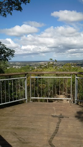
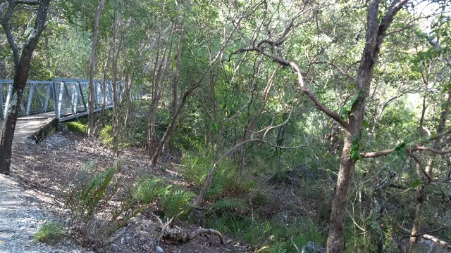
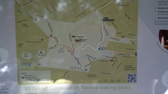
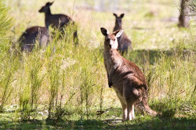
Toohey Forest walk to Mt. Gravatt mountain
Popular Walks
-
Mount Gravatt Summit Track
(106 ticks) -
Billai Dhagun Circuit
(93 ticks) -
Toohey Forest Trailhead to Mt Gravatt Lookout
(88 ticks) -
The Cliffs Boardwalk
(65 ticks) -
Tinchi Tamba Wetlands
(65 ticks)
Parent Regions
History
Features
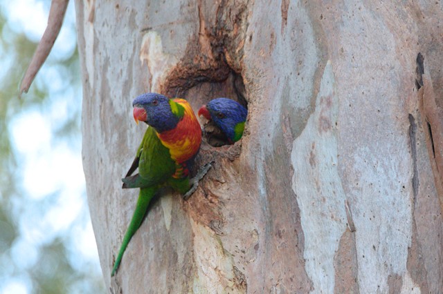
Amazing rock formations, See what Brisbane bush originally looked liked.
Access
Park at Toohey Forest and many walks lead from there
Maps
Available from Brisbane City Council Website. Downloadable
Accommodation
Camping
No camping permitted in park
Other
Contact details
https://www.brisbane.qld.gov.au/things-to-see-and-do/outdoor-activities/walking-in-brisbane
Walks in Brisbane City Council Local Walks

 870
m
return
870
m
return
 20
mins
20
mins
Slacks Creek Environmental Park
Two loops - Open Forest Walk and Melaleuca forest walk join to make a 20 minute walk 870m long. Paperbarks and butterflies.
 1.4
km
return
30
mins
1.4
km
return
30
mins
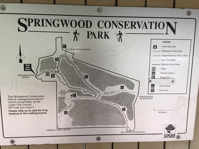
Springwood Conservation Park (Gorge Discovery Track)
Circuit around a wooded gorge. Entrance points from various residential areas.
 5
km
return
90
mins
5
km
return
90
mins
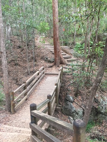
Springwood Conservation Park (Gorge Discovery Track, Spur Track, Deloraine Track and Wheelchair Track)
This walk has the stairs of death on the Gorge Discovery Track. We covered all the tracks, two are circuits and two end on a street, which we back tracked. There is a centre in the park where most tracks cross over. The tracks themselves are beautiful, with great views and man made. The stairs are do-able even for a gumbie like me and the Deloraine and Spur Track also have an good incline. There is a wheelchair track though very long but is beautiful asl well.
 2
km
return
30
mins
2
km
return
30
mins
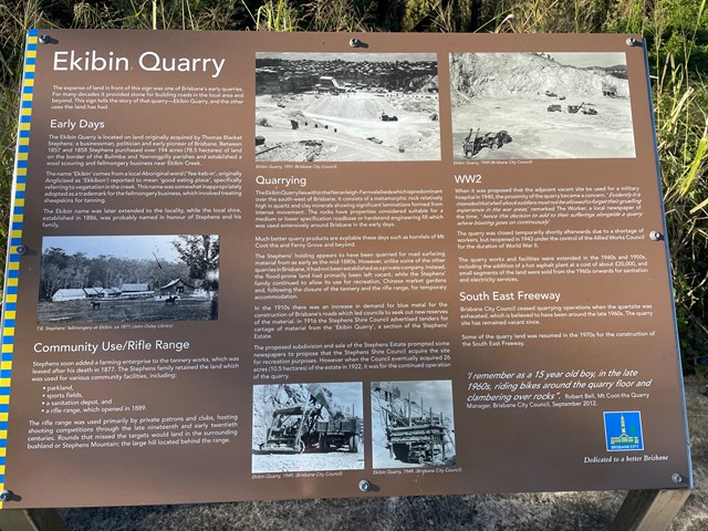
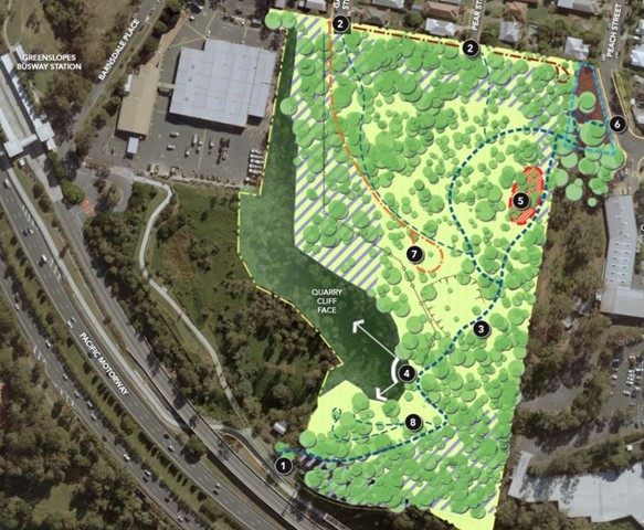
Stephens Mountain Reserve
Two connecting tracks that lead to a lookout platform. Old Quarry site.
 1.5
km
return
30
mins
1.5
km
return
30
mins
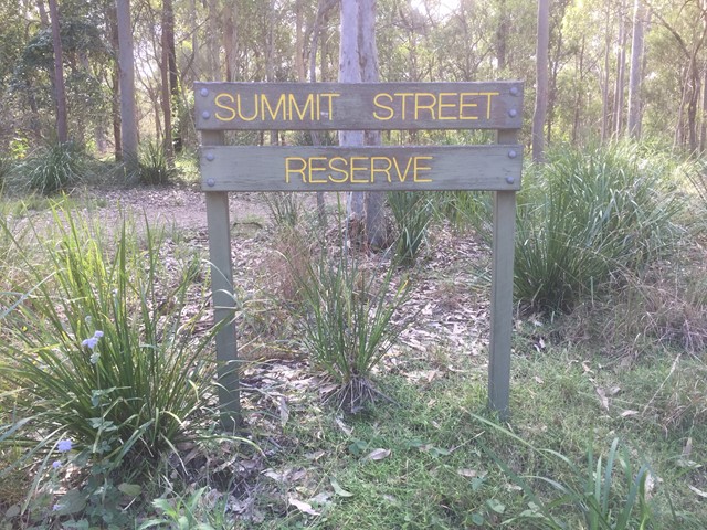
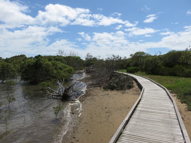
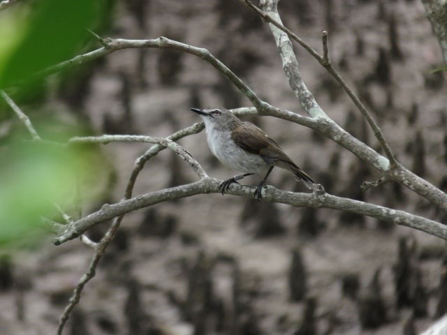
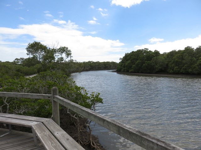
Tabbil-ban dhagun
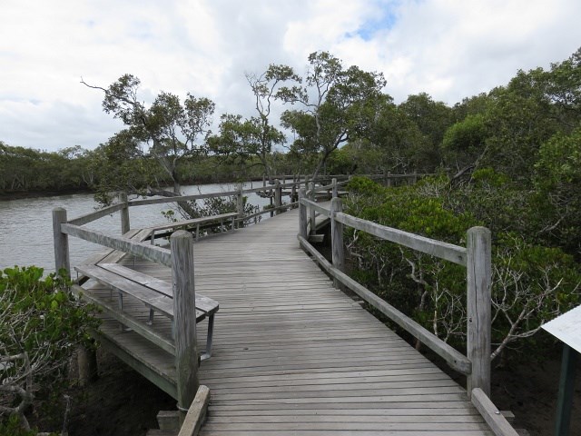
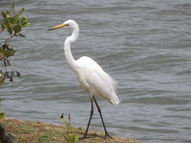
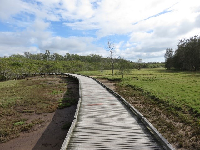
This track is in the Boondal wetlands and passes through mangroves fringing the shores of Moreton Bay and the banks of Nudgee Creek. Birdlife abounds in the mangroves and a birdhide overlooks the tidal flats at the creek mouth. The boardwalk allows you to explore the mangroves at anytime. but make sure you carry repellent as the sandies can be murder. The name means "Place of salt water"
 2.4
km
return
1
hr
2.4
km
return
1
hr
Tarcoola Track
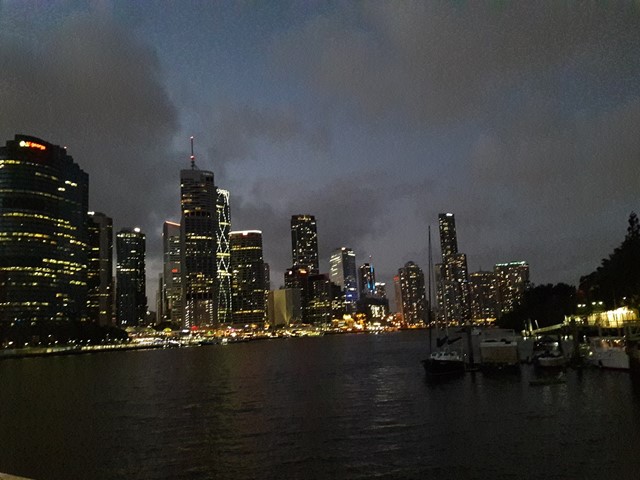
A short walk through bushland and open space with views of the Brisbane River.
 2
km
one-way
30
mins
2
km
one-way
30
mins
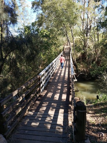
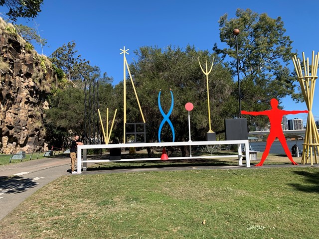
The Cliffs Boardwalk
The area between the cliff face and the river, called The Cliffs Boardwalk, has been beautifully landscaped with walkways, including a boardwalk through the mangroves, barbecues, picnic areas and gardens.
Scattered along the walk are colourful artworks that were originally commissioned for the riverside promenade at World Expo 88 at nearby Southbank.
 1.5
km
one-way
40
mins
1.5
km
one-way
40
mins
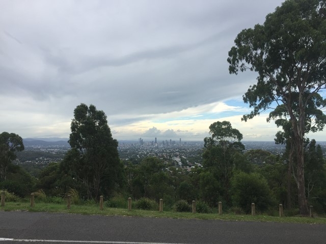
The Federation Track
This track from the base of Mt Gravatt follows a track up the mountain, passing a lookout over the east. The path is quite rough in places with lots of loose rocks, though there are also steps and bridges. To reach the summit you need to turn left onto the Azania Way track at the end, and follow this for another .4km. You can then return back to where you started by following the summit track (1.2km)
 3.8
km
return
1
hr
3.8
km
return
1
hr
Tinchi Tamba Wetlands
Tinchi Tamba Wetlands Reserve is over 380 hectares in size and is part of a network of coastal wetlands on the edge of Moreton Bay. The wetlands are located 19 kilometres north of the Brisbane CBD, between Pine River and Bald Hills Creek and includes tidal flats, mangroves, salt-marshes, melaleuca wetlands, grasslands and open forest. Tinchi Tamba Wetlands Reserve offers a variety of walking trails.