
Menu
Popular Walks
-
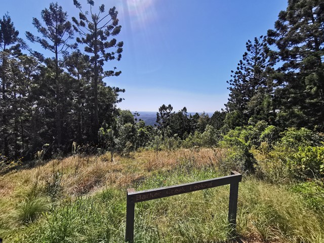
Barker Creek Circuit
(75 ticks) -
Scenic Circuit
(61 ticks) -
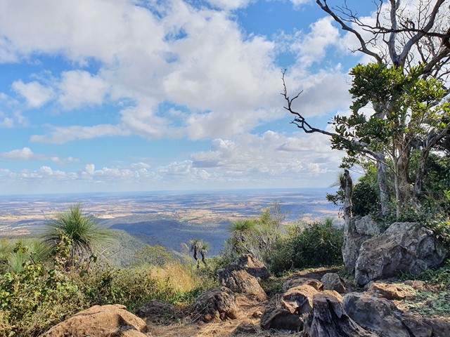
Mount Kiangarow
(55 ticks) -
Koondaii Circuit
(40 ticks) -
Westcliff Lookout
(29 ticks)
Parent Regions
Popular Walks
-
Barker Creek Circuit
(75 ticks) -
Scenic Circuit
(61 ticks) -
Mount Kiangarow
(55 ticks) -
Koondaii Circuit
(40 ticks) -
Westcliff Lookout
(29 ticks)
Parent Regions
Walks in Bunya Mountains

 10
km
return
10
km
return
 3
hrs
3
hrs
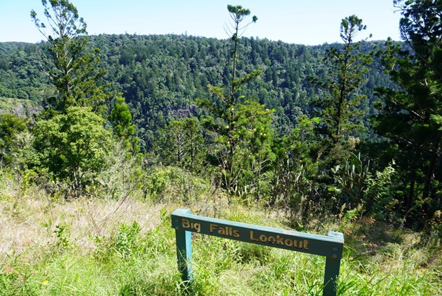
Barker Creek Circuit
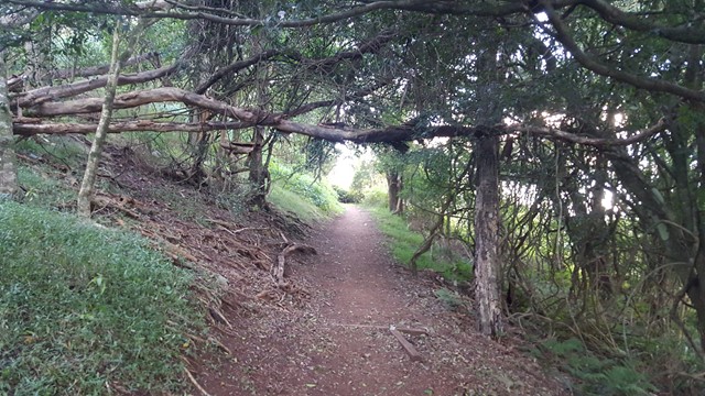
A very scenic walk leaving from the Dandabah Camping area, Bunya Avenue. The walk joins up with the shorter Tim Shea Falls walk. Best walked in an anti-clockwise direction for the views and less incline. A couple of side tracks to lookout points. Rainforest, grassy knoll and woodlands
 6
km
return
90
mins
6
km
return
90
mins
Big Falls & Barker Creek Lookout
6.09km Return from the Paradise Carpark (Along the Barker Creek Circuit track)
 6
km
one-way
2
hrs
6
km
one-way
2
hrs
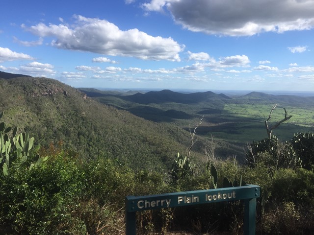
Cherry Plain to Burtons Well
This walk takes you along the Western Side of Bunya Mountains, passing three lookouts with views over the plains. Vegetation is dryer towards the the cliffs, with vine forests closer to the road. The path gradually ascends as you follow it in this direction. An easier walk may be to start sat Burtons Well.
 1.6
km
return
30
mins
1.6
km
return
30
mins
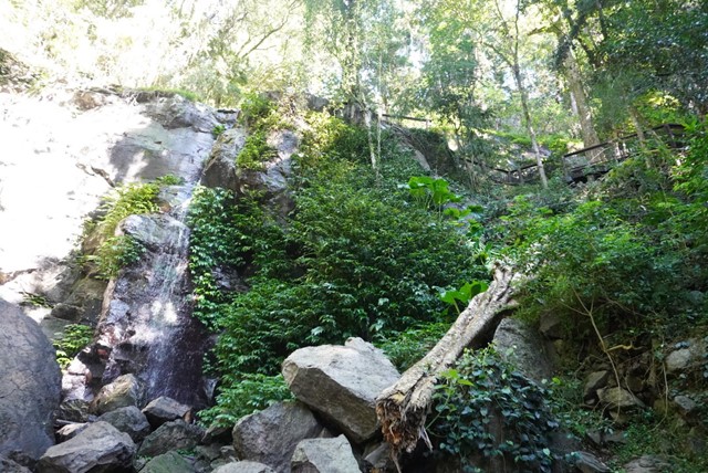
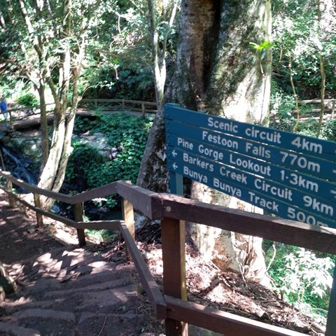
Festoon Falls and Mcgrory Lookout
A nice easy stroll to Festoon Falls a well known waterfall and to the top of Mcgrory Falls, a hidden gem just 50 metres downstream of Festoon Falls.
 4
km
return
90
mins
4
km
return
90
mins
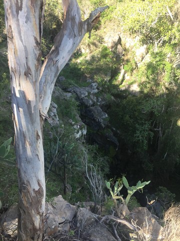
Ghinghion Lookout
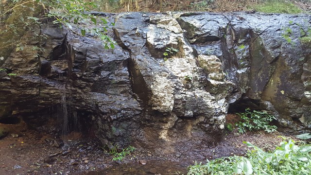
From Burtons Well track heads down to the cliff side where there is a lookout above a non-perennial waterfall.
 2.5
km
return
1
hr
2.5
km
return
1
hr
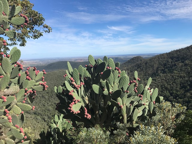
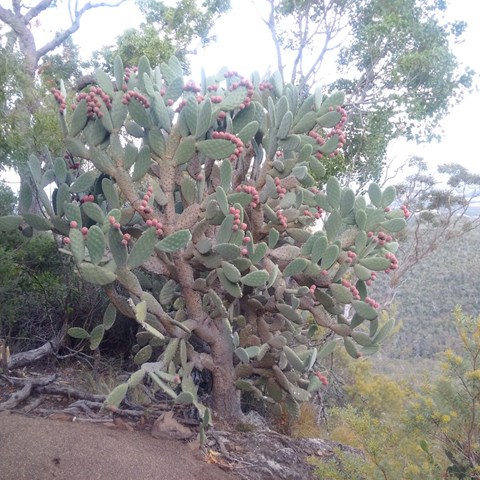
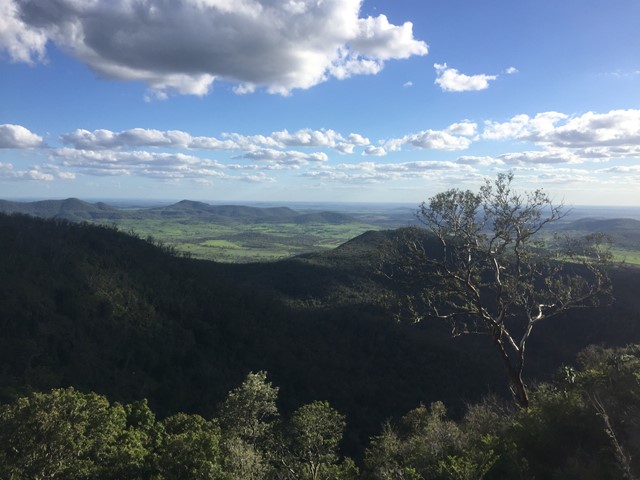
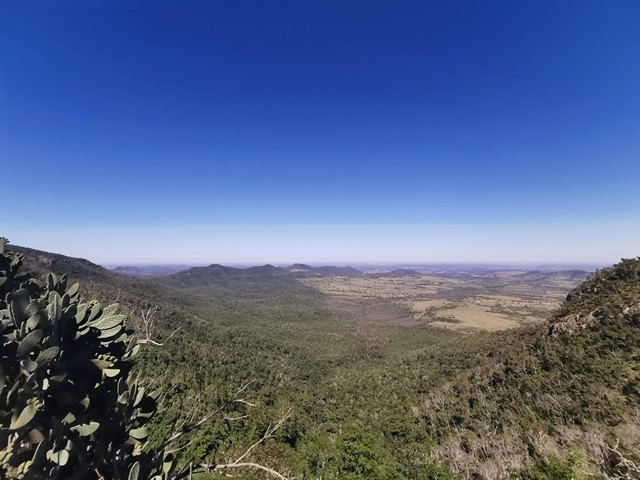
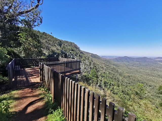
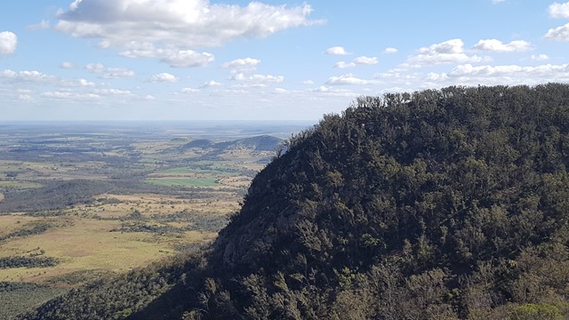
Koondaii Circuit
A short circuit which takes you through shady dry rainforest then out to Koondaii Lookout with views of the western side of the Bunya Mountains over the Darling Downs. The cliff face falls away sharply providing you with a treetop canopy view into the valley below.
Officially a Grade 4/Hard track (some steep sections, stairs, and cliff-edges to be aware of), this walk would be manageable for most people with a moderate level of fitness.
 4.5
km
return
2.5
hrs
4.5
km
return
2.5
hrs
Mcgrory Falls via Pine Gorge
This is a relatively tough but short hike, leading to one of the biggest yet lesser known waterfalls. The first 3/5ths of the track is well maintained though from Pine Gorge Lookout there is a steep descent into Pine Gorge. It would be a good idea to bring some flagging tape to mark the exit point in the gorge.
 2.3
km
return
1
hr
2.3
km
return
1
hr
Mount Kiangarow
This track leads to the highest point of the Bunya Mountains: Mt Kiangarow (1,135m). The track climbs 132m over 1.4km, gradually winding around the mountain and leading through an avenue of grasstrees at the crest lookout. An excellent spot to view the sunset.
Officially rated Grade 3/Medium (uneven track surface + steady, gentle incline), this is relatively gentle walk that would be suitable for most ages/fitness levels.
 2
km
return
40
mins
2
km
return
40
mins
Munros Camp Walk
The track takes you from Munro's Camp down to the top of a previous logging chute (clearing in the forest to lower logs down to the valley for milling). Many benches to pause, watch and listen along the trail. Prolific bird life.
2.5
km
return
45
mins
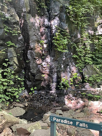
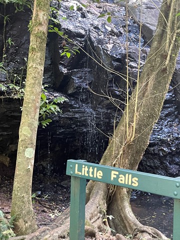
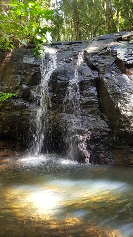
Paradise and Little Falls
A chance to get a feel for the eastern side of Bunya Mountains with a short walk down to the two falls of Paradise and Little Falls.