
Light Line Rd Kholo to Mermaid Mountain
D'Aguilar National Park


Menu


Amazing walk worth the views. This is the shortest and most direct route to get to the lookout.

Getting there
I turned right off Lake Manchester Rd and drove about 500 metres along Light Line Rd, opened a gate and drove through (closed it again!) drove to the yellow & green Locked Council gate and parked my car.
Maps
I used GAIA app.
Route/Trail notes
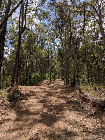
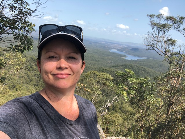
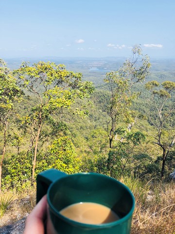
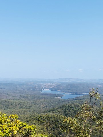
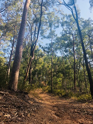
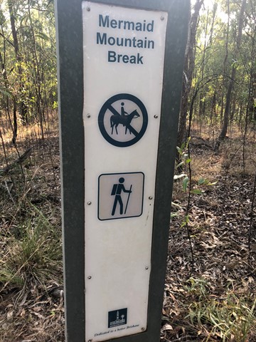
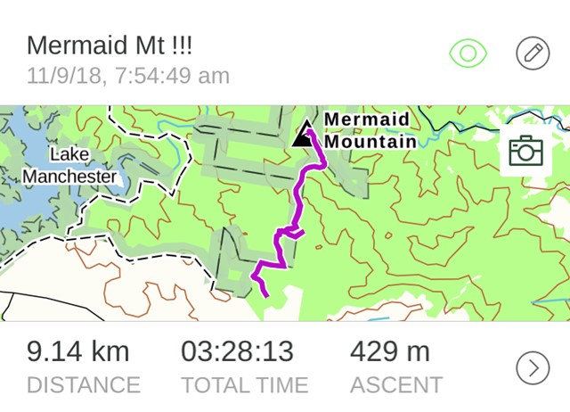
From where the car is parked on Light Line Road you walk about 500m and turn right onto Mermaid Mt Break. It gets pretty steep after 2km and requires patience and careful footing. The trip down is far more difficult than the trip up. I used hiking poles, some people can get down on their bums and hand to descend. Once you get to the top you turn left and walk along the rydge for about 500m to you get to the big rock. Scramble up the rock and there you are! It’s not overly hard, but its not an easy walk. Just loved the view so much. I made myself a coffee and sat and took in the serenity and fresh air. I saw an Eagle, Black Cockatoo, Goanna, plenty of other birds too.
Permits/Costs
N/a
Other References
Take A GPS map as it is possible to get lost.
GPS Tracks
- No GPS available for this walk yet.
 9.14
9.14 3
3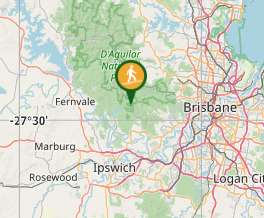
Comments