
Menu

 47.7
km
one-way
47.7
km
one-way

Telegraph Saddle, Southern Point, Little Waterloo Loop
4 day trek to see the Southern Point, Lighthouse & Little Waterloo Bay
 4.3
km
return
1
hr
4.3
km
return
1
hr
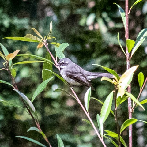
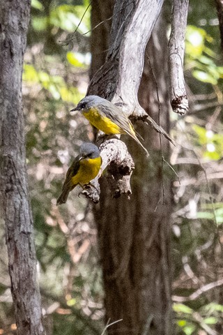
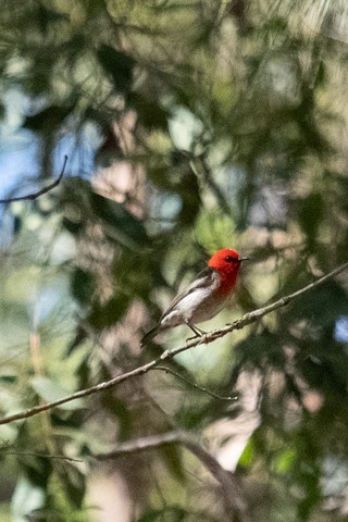
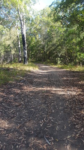
Figbird Trail
Nice easy walk. Stop and watch - plenty of great birds around.
 8.5
km
return
5.5
hrs
8.5
km
return
5.5
hrs
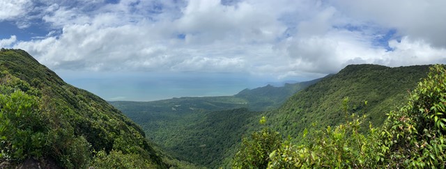
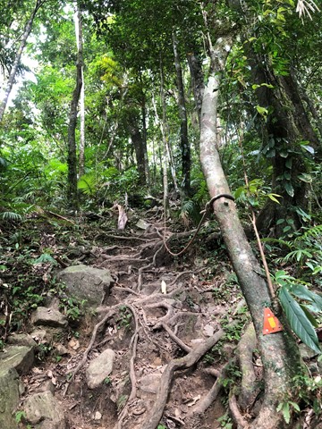
Mt Sorrow Ridge Walk
This track is a beautiful but hard walk just out of Cape Tribulation township. The trail climbs from the coastal lowlands of Cape Tribulation, up the rainforest-clad ridge of Mount Sorrow to a viewing platform, offering views of the beautiful Daintree coastline, Cape Tribulation Beach, Snapper Island and beyond.
 3
km
return
1
hr
3
km
return
1
hr
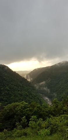
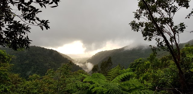
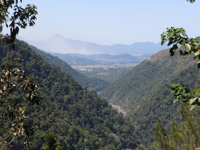
Wrights Lookout
A beautiful lookout over the Barron Gorge national park down to the Cairns' bay.
 1.2
km
return
45
mins
1.2
km
return
45
mins
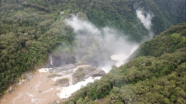
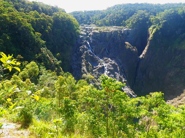
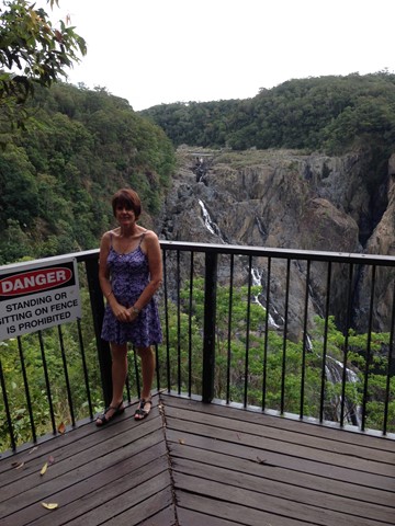
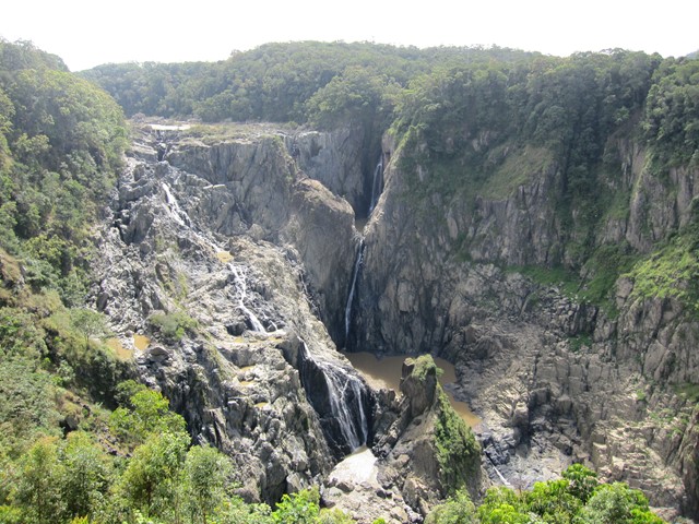
Barron Falls Lookout
A lovely little board walk with many information signs to a spectacular waterfall (especially in the wet season).
 10.8
km
return
3.5
hrs
10.8
km
return
3.5
hrs
Mt Boogarem Lookout
Mt Boogarem is located on the Koonyum Range and forms part of the Mt Jesusalem National Park. You can in fact drive to the lookout, but that would take the fun out of bushwalking! The walk is from the entrance to the National Park along graded tracks, with an option to follow a horse riding track or visit a further lookout called Teales.
 1.7
km
return
45
mins
1.7
km
return
45
mins
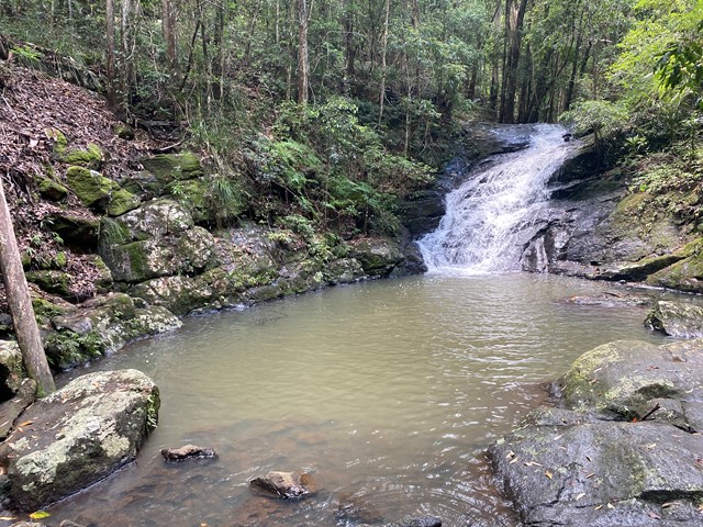
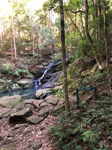
Picnic Creek Circuit
This easy walk crosses Picnic Creek, passes through tall eucalypt forest and patches of wet sclerophyll (a mix of eucalypt and rainforest species). Enjoy views over the valley from a lookout point.
 1.6
km
return
90
mins
1.6
km
return
90
mins
Mount Coolum Powerline Track
An alternative, more challenging route to the summit, located on the north-western ridge, accessible from the northern end of South Coolum Road.
 6.3
km
one-way
90
mins
6.3
km
one-way
90
mins
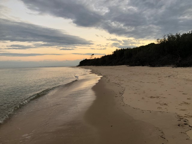
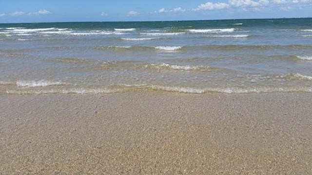
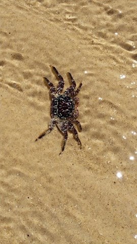
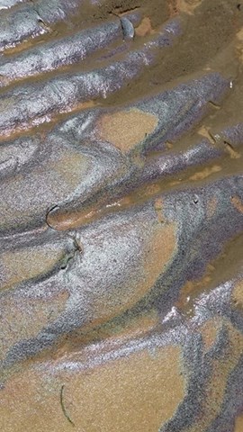
Red Beach to Woorim
This is a walk along the beach from the car park at Red Beach Bribie Island to the patrolled surf beach at Woorim. It's best to time your walk around low tide as at high tide the water comes right up to the trees in some places. Also, after significant rain there can be run-off from the island causing water courses that will need to be crossed - Not really a problem unless you don't want to get your feet wet. I've only marked the difficulty level as medium due to the un-certainty of the conditions, but generally it's a pretty easy walk if you stay on hard sand. If you're looking at a work-out, maybe walk on the soft sand and then the difficulty would definitely be harder. If you decide to do a return walk, you can pick up something to eat or drink at Woorim before heading back.
 3.4
km
return
90
mins
3.4
km
return
90
mins
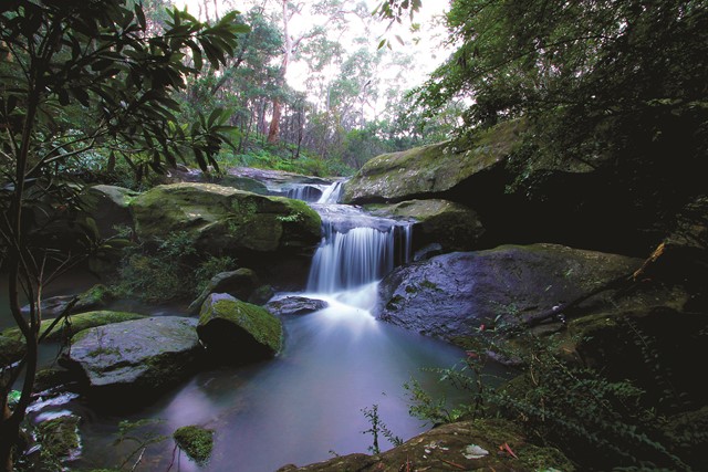
Waterfall Walk (West Pennant Hills/Richard Webb Reserve)
Tall Blue Gums, sandstone gullies, a waterfall and wildflowers. This walk follows Darling Mills Creek to the only waterfall in the Hills through some of the prettiest scenery in the Hills.
 3
km
return
2
hrs
3
km
return
2
hrs
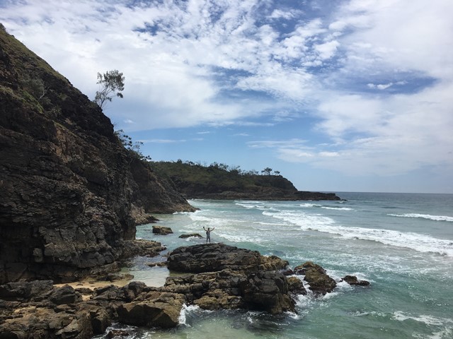
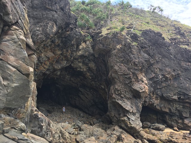
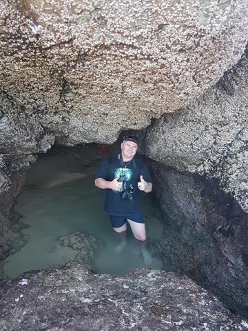
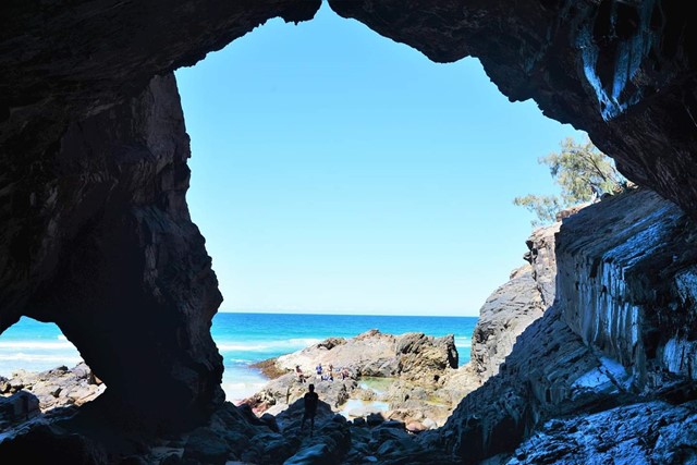
Paradise Cave
Fantastic little adventure to this secluded beach cave, only accessible at low tide
 10
km
return
4
hrs
10
km
return
4
hrs
Oatley Park
Oatley Park is a 112 acres reserve located on a promontory jutting into the Georges River in the southern Sydney suburb of Oatley. It is bounded by the Georges River, Lime Kiln Bay, and Jew Fish Bay. The park includes natural bushland, waterways, a children's playground, and an oval. It is noted for its trees, shrubs and native flowers, as well as the river beaches and prolific bird life.
4
km
return
90
mins
Transit Hill
An easy walk along Bowker Avenue and through a dry rainforest of Greybark, Palms, Blackbutt, Maulwood and Sallywood trees, before following the pathway above Pinetrees Paddock to the viewing platform and then drop down to Blinky Beach.
3.9
km
return
2
hrs
Intermediate Hill Loop
This is a steep and demanding climb to the summit of Intermediate Hill, with its spectacular views at 250m above sea level. The descent to Smoking Tree Ridge is equally steep and extra care should be taken on this section of the walk.
7.1
km
return
3
hrs
Mutton Bird Point and Boat Harbour
This track follows the beautiful coast line to Mutton Bird Point; a birdwatchers heaven, with its Masked Boobies, Sooty Terns, Common Nobbies and Wedgetailed Shearwaters (nesting in summer). From there you pass through Curly Palms, Blackbutts, Greybarks and Hopwoods to Rocky Run Creek and then wet rainforest to Boat Harbour beach.
 11.6
km
return
4
hrs
11.6
km
return
4
hrs
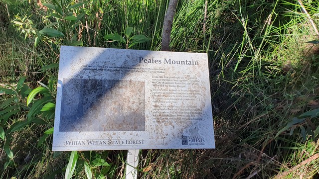
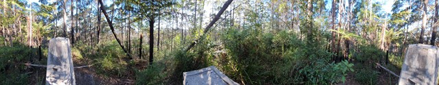
Peates Mountain
An interesting walk through the semi-tropical forest of the Whian Whian Conservation Area (Nightcap NP). Remnants of red cedar logging exist with the stumps showing the cut marks from the cutters planks, as well as an old cedar trunk bridge across one of the creeks.
Peates Mountain (once known as Peach Mountain) once had a fire lookout tower, that provided extensive views of the area from Lismore in the west to the eastern coast. Sadly this no longer exists and we are left with a ordinance obelisk.
 4.8
km
return
90
mins
4.8
km
return
90
mins
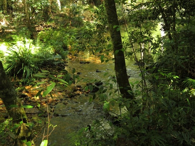
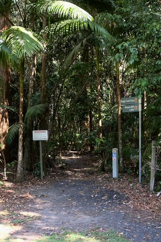
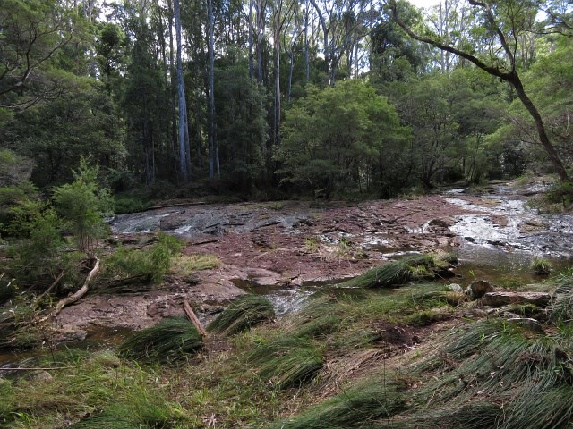
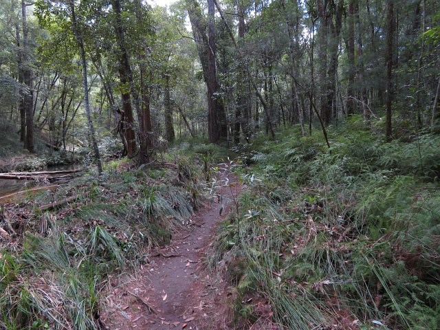
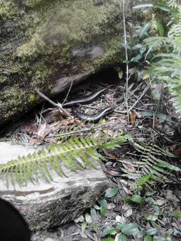
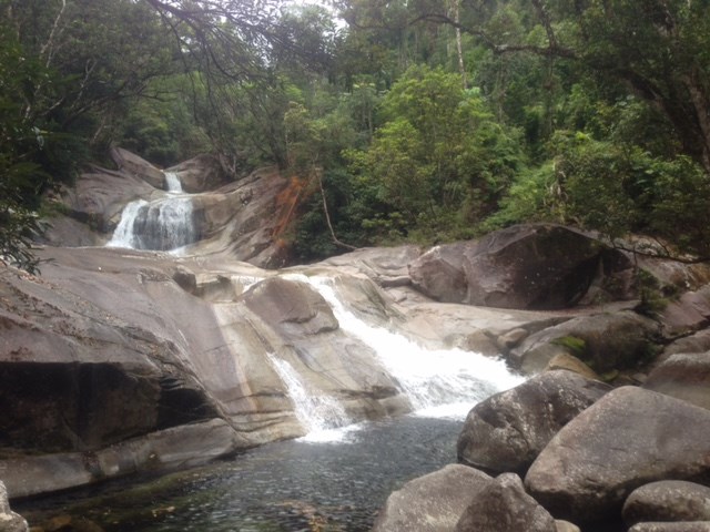
Boggy Creek Trail
An easy walk along the side of Boggy Creek. A few tree roots and narrow path at times, with plenty of opportunities to cool your feet in the waters as it cascades over the boulders. Some rather large Land Mullet can be seen along the way.
 4
km
return
2
hrs
4
km
return
2
hrs
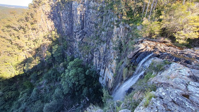
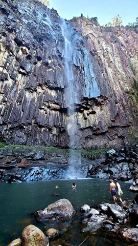
Minyon Grass to Base of Minyon Falls
This walk is the shorter alternative to the Minyon Loop (4 - 5 hr). It follows the Minyon Loop track from the Minyon Grass picnic grounds down along Repentance Creek to the base of the falls. The last 100m of the walk (to get to the waterfall base and pool) is scrambling up large boulders. Be careful when it's wet as the rocks can be very slippery. The majority of this walk is of medium difficultly however the scramble at the end lifts the difficulty to hard.
 5.1
km
return
1
hr
5.1
km
return
1
hr
Chance Bay
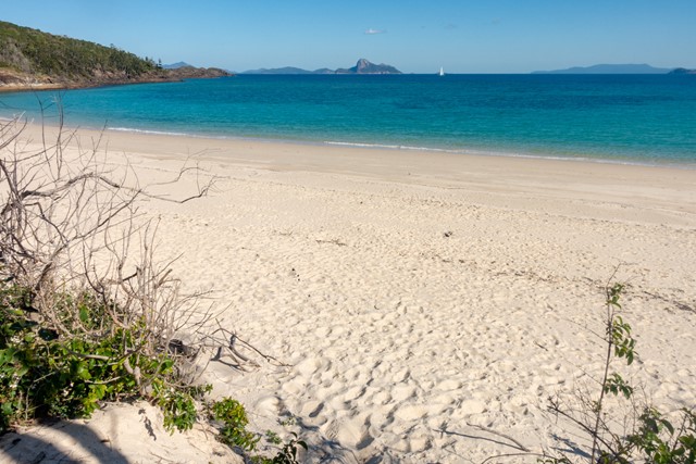
Chance Bay is a secluded beach and bay a short walk across the headland from the famous Whitehaven Beach. Add Solway Circuit for views over the area.
 1.6
km
return
1
hr
1.6
km
return
1
hr
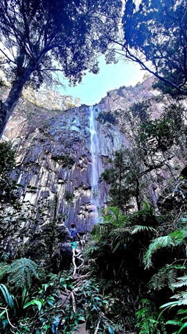
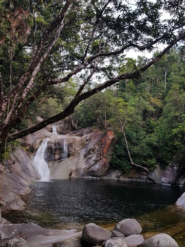
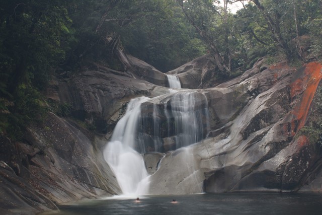
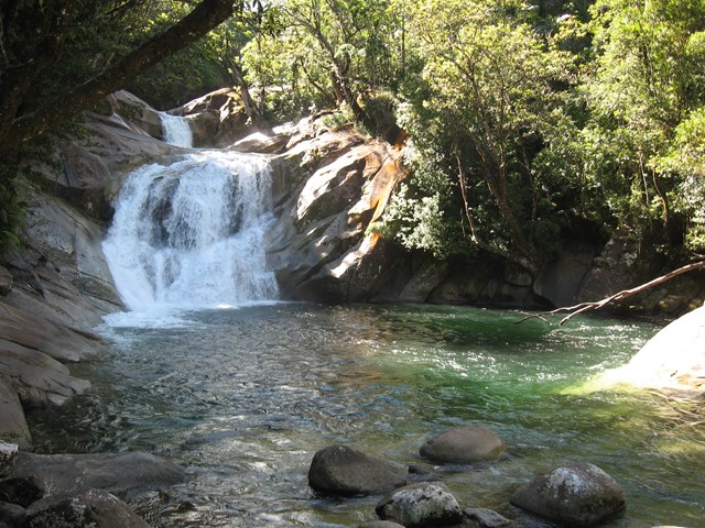
Josephine Falls
A short walk through Wooroonooran National Rainforest along a small creek that leads to the base of the Josephine Falls and a natural waterslide.