
Menu

 10
km
one-way
10
km
one-way
 4
hrs
4
hrs
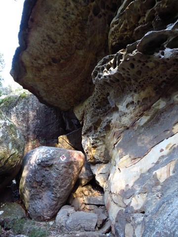
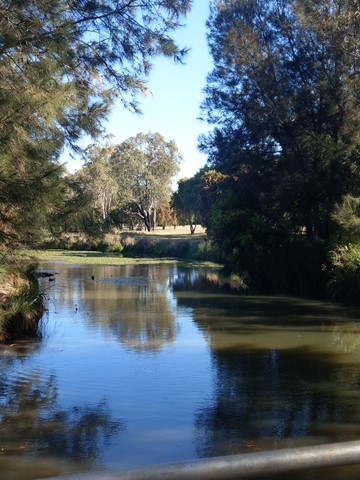
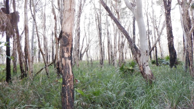
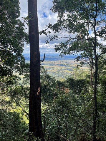
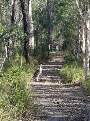
Thornleigh to Hornsby (GNW)
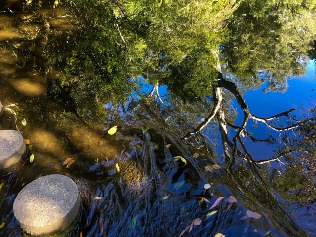
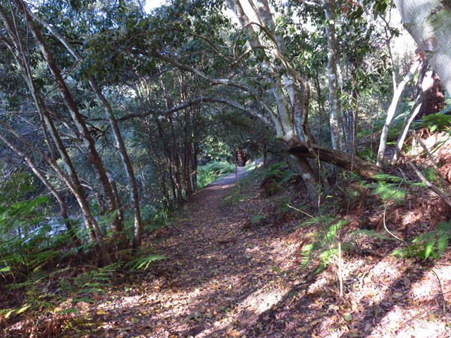
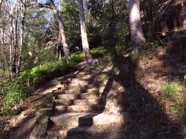
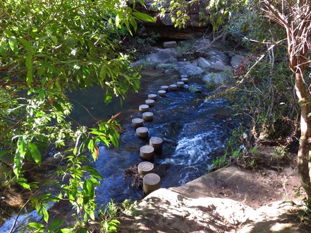
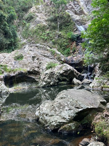
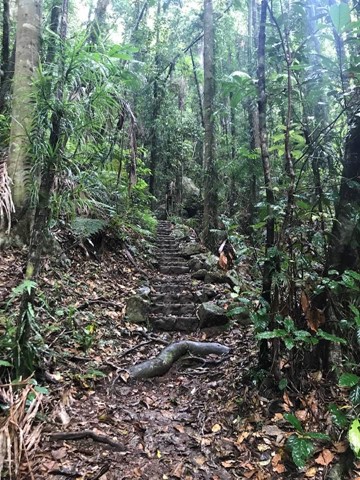
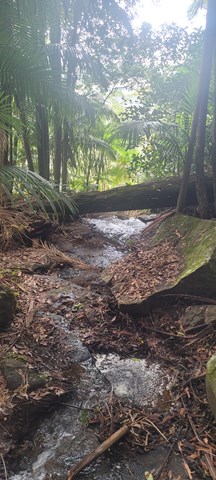
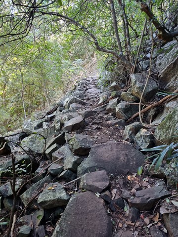
Starting at Thornleigh station you walk through suburban streets for a short while before diving into the bush at the southern end of Berowra Valley Regional Park. Soon after visiting the site of the historic Zig Zag railway you start wandering through the Berowra Creek valley, passing a few cascading creeks. The track undulates along the side of the valley visiting a range of environments from moist fern forest to the drier grass tree and eucalypt forests of the ridge. There is a short side trip to visit the Westleigh engravings and a chance to pop down to fishponds, before climbing up the depression era stone steps to Hornsby station.
 4
km
return
1
hr
4
km
return
1
hr
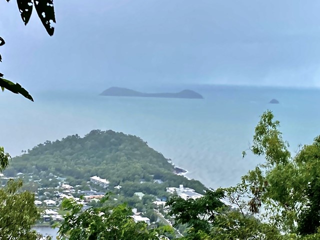
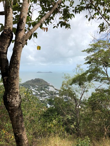
North Johnstone River Lookout
Along the Palmerston Highway this walk offers spectacular views of the North Johnstone River
 40
km
return
3
days
40
km
return
3
days
Eastern Peaks Circuit Girraween
A multi day hike (3 days comfortably but could be done in 2) that visits all major east peaks in Girraween. Wonderful scenery, wildflowers and wildlife.
 4
km
return
90
mins
4
km
return
90
mins
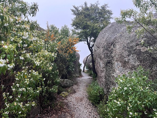
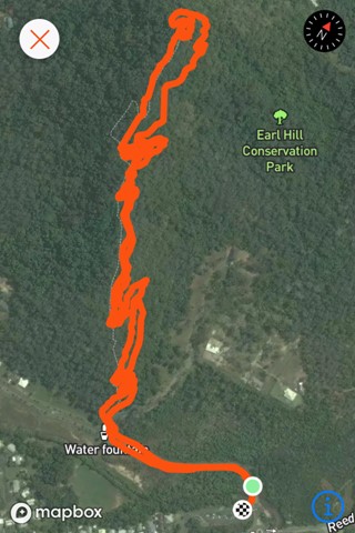
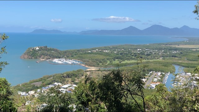
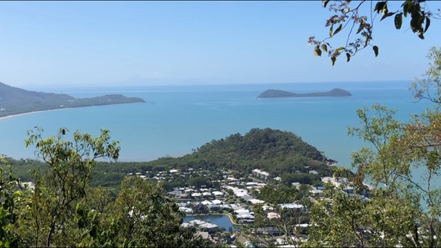
Earl Hill Summit Track
Earl Hill is a 2.9 kilometre moderately trafficked out and back trail located at Trinity Beach north of Cairns, Queensland, Australia that features a great forest setting and is good for all skill levels. The trail is primarily used for hiking, walking, and nature trips and is accessible year-round.
 4.7
km
return
90
mins
4.7
km
return
90
mins
West Creek Reserve
A casual stroll in and around West Creeks lakes and ponds out to Kearney Springs Wetlands Historic Park.
 5
km
return
2
hrs
5
km
return
2
hrs
Edgecumbe Heights Recreational Reserve
Edgecumbe Heights Recreational Reserve, Bowen, Queensland
 500
m
return
15
mins
500
m
return
15
mins
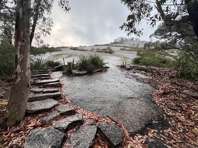
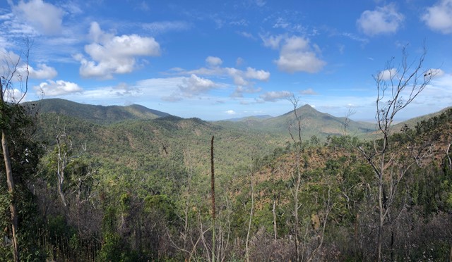
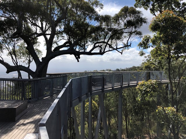
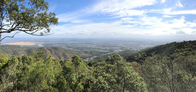
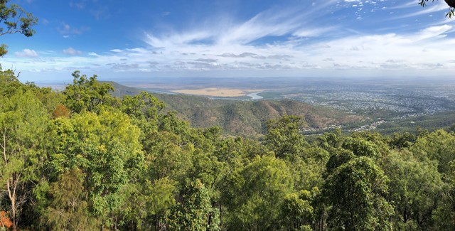
Mt Archer Skywalk
A circuit track on Mt Archer with lookouts over the surrounds of Rockhampton
 1
km
one-way
30
mins
1
km
one-way
30
mins
Western Escarpment walking track
Get back to nature on Western Escarpment walking track in Sydney's Malabar Headland National Park, near Maroubra. This short track through native heath boasts coastal views, bird life and wildflowers.
400
m
return
15
mins
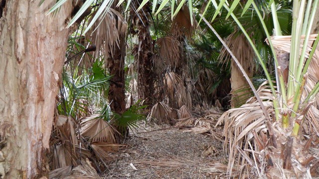
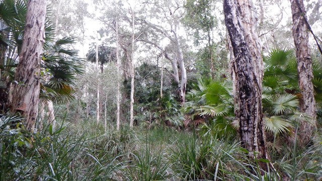
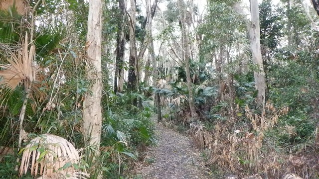
Melaleuca Circuit
Delight in the wetlands of cabbage palms, paperbarks and eucalypt forests fringing the delta lakes of the upper Noosa River.
 7.6
km
return
3
hrs
7.6
km
return
3
hrs
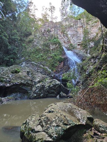
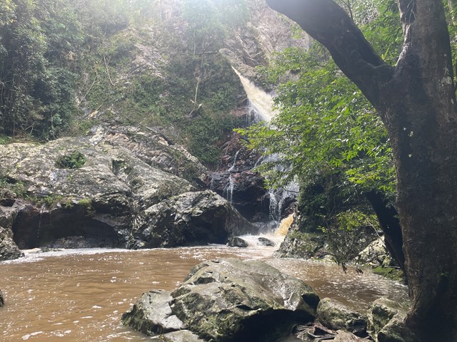
Baxter Falls - Southern Approach
This walk leads through open eucalypt forest, past rocky outcrops and down the side of the gorge to Baxter Creek with its suspension bridge and beautiful waterfall.
 2.6
km
return
2
hrs
2.6
km
return
2
hrs
Witches Chase
Witches Falls is Queensland’s first National Park, declared in 1908. This track leads through rainforest with large red cedar trees and eucalypt forest to Witches Falls lookout. The waterfall only flows after recent rain and is best viewed from the lookout platform.
Return by the same route, or extend your walk by 3.1km by completing the Witches Falls Circuit, which starts just beyond the lookout.
 1.2
km
return
1
hr
1.2
km
return
1
hr
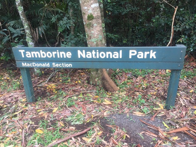
MacDonald Rainforest Circuit
This precious tract of subtropical rainforest was named after Miss Jessie MacDonald, who generously donated part of this area to become a National Park in 1933.
This short, easy grade walk features towering strangler figs and lush groves of piccabeen palms, just south of the Tamborine Botanic Gardens.
 800
m
return
30
mins
800
m
return
30
mins
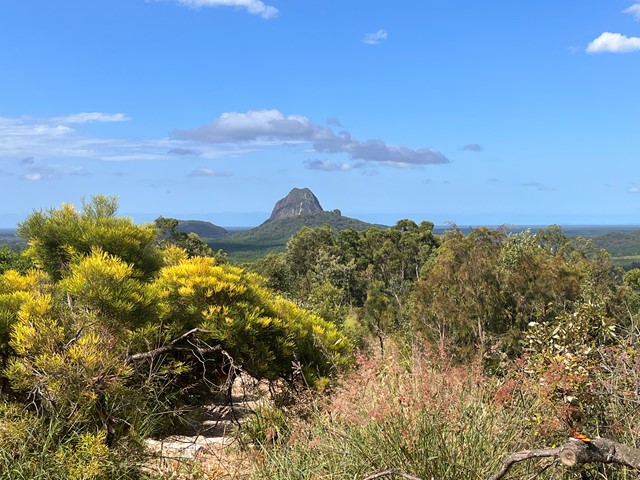
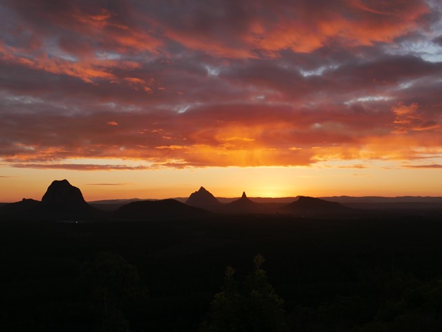
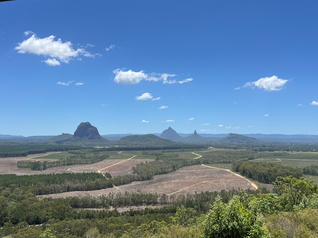
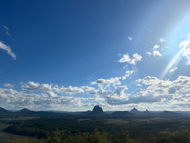
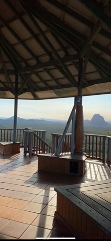
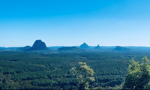
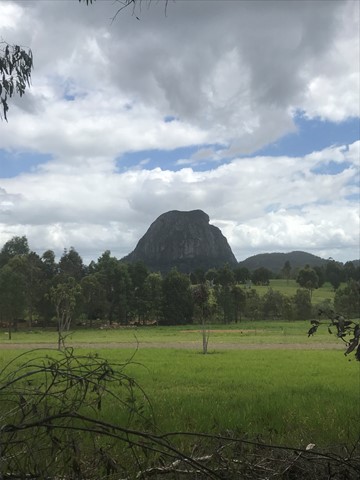
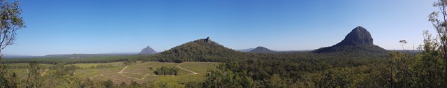
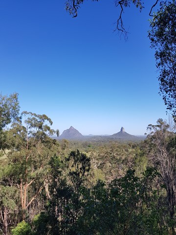
Glass House Mountain Lookout
The lookout is about 10km from the Glass House Mountains township, in Beerburrum West State Forest. It offers panoramic views of the mountain peaks, Caloundra, Maroochydore, Brisbane and Moreton Island. A short walking track starting at the lookout leads you through open scribbly gum forest, down through a wet eucalypt forest gully and returns back to the lookout.
 5.3
km
return
75
mins
5.3
km
return
75
mins
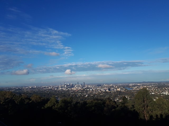
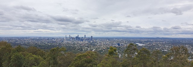
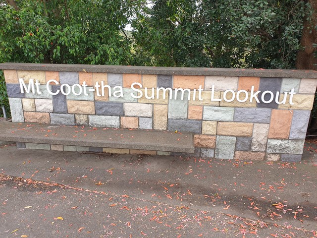
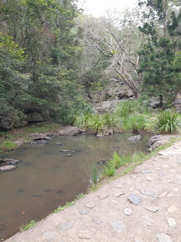
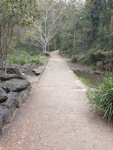
Mt. Coot-tha Summit Track
Mt Coot-tha Lookout has sweeping views of Brisbane City, Moreton Bay, and around to the Tweed Volcano, Main Range and Mount Barney and Flinders Peak. The walk to this lookout, from JC Slaughter Falls Picnic Area, is a potentially slightly testing but generally easy walk on a paved track that straddles a gully.
 13.4
km
return
4
hrs
13.4
km
return
4
hrs
Ewen Maddock Dam - Trail 1
This is a great family walk. The first part follows the edge of the lake, while the remainder moves out into the surrounding woodland, where you will see a mixture of Rough, Scribbly and Paperbark trees. There is plenty of bird life both on the dam and in the woodland. The path is generally shady and can be muddy after rain, with parts of it shared with bikes and horse riders.
 2.1
km
return
1
hr
2.1
km
return
1
hr
Heath Track
A short walk through the coastal heath of Currimundi Lake (Kathleen McArthur) Conservation Park, with many flora and fauna informative signs along the way.
 1.4
km
return
30
mins
1.4
km
return
30
mins
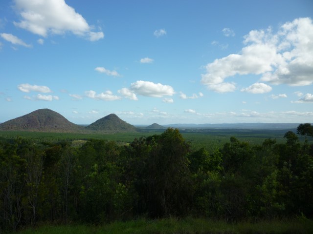
Wild Horse Mountain
Quite steep but concrete all the way. Amazing 360° views of the Glass House Mountains to the west and Bribie Island and the coastal strip to the east. Lots of information on what you are looking at and a great place for a picnic.
 9
km
one-way
5
hrs
9
km
one-way
5
hrs
Kangarutha Walking Track
Considered one of the best day walks in Australia. Beautiful secluded beaches and great lookouts along the coast. Keep your eyes peeled for whales during the season.
13.22
km
return
3.75
hrs
Beerburrum to Trachyte and Tibrogragan Circuits
Walk from Beerburrum to the Returned Servicemans memorial Track to Trachyte Circuit to Tibrogargan Circuit to Steve Irwin Way
 600
m
return
15
mins
600
m
return
15
mins
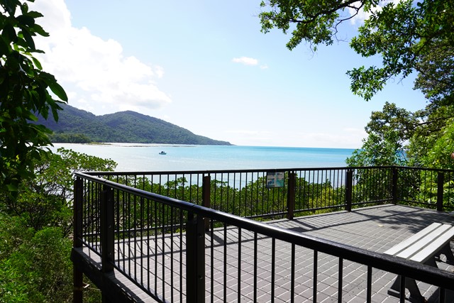
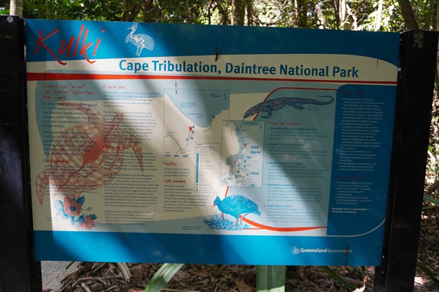
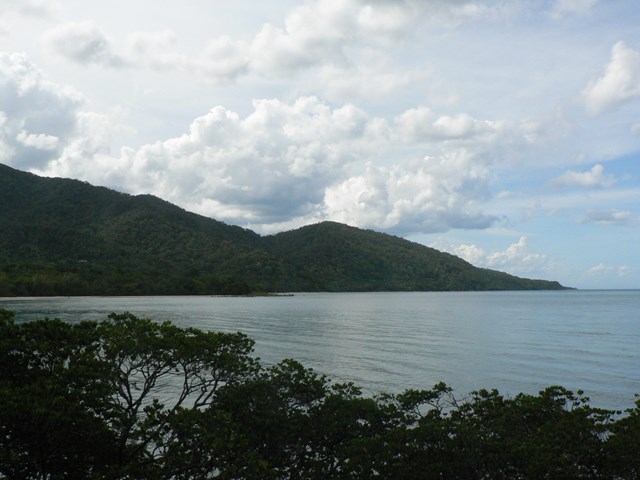
Kulki Boardwalk
Kulki day-use area has a boardwalk leading from the picnic area to a viewing platform overlooking the ocean and beach. A short walk from the Kulki car park takes you to beautiful Myall Beach. Toilets and picnic tables are provided.