
Menu

 250
m
return
250
m
return
 10
mins
10
mins
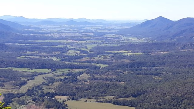
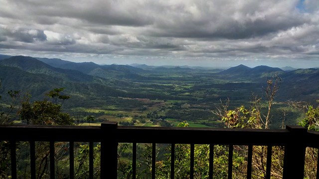
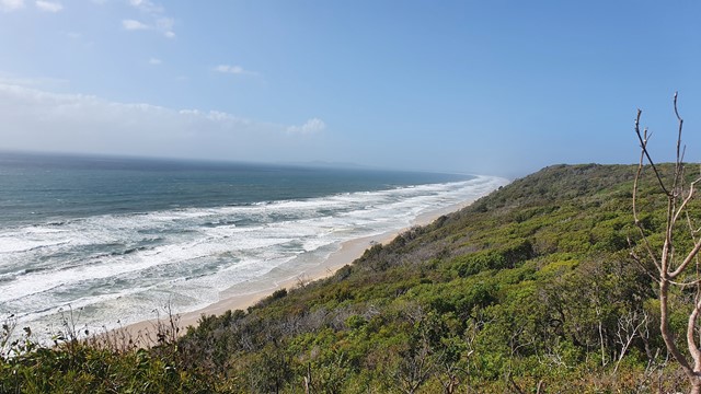
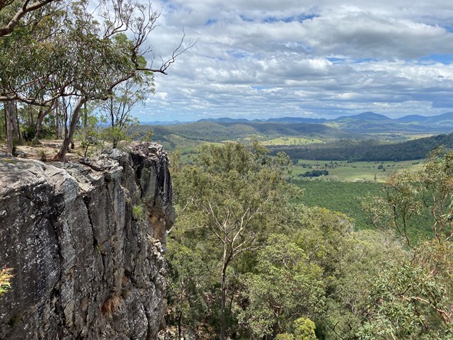
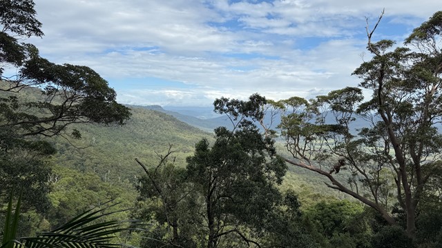
Sky Window Circuit
A short easy track that takes you to two lookouts over the Pioneer Valley
 2.8
km
one-way
1
hr
2.8
km
one-way
1
hr
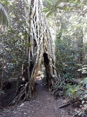
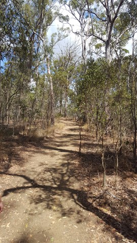
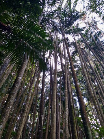
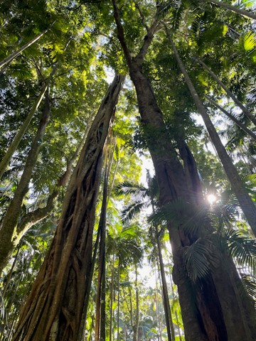
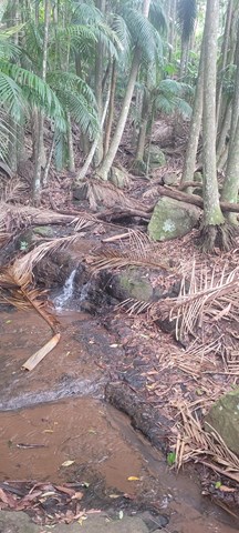
Pine Grove -Cedar Grove Track
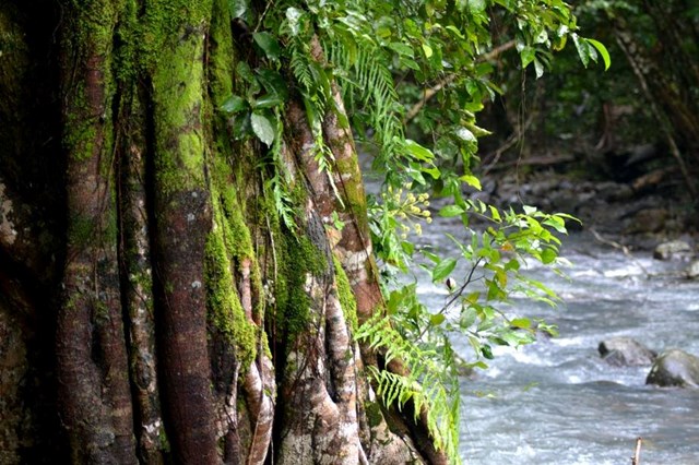
A walk through rain forest which takes you through a strangler fig arch and past red cedars, tulip oaks and lots of palm trees. This track links the Pine Grove Carpark and the Sky Window carpark.
 1.6
km
5
mins
1.6
km
5
mins
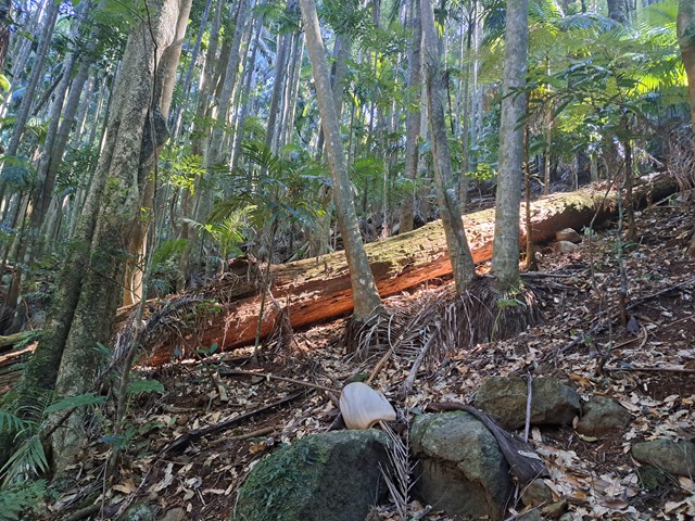
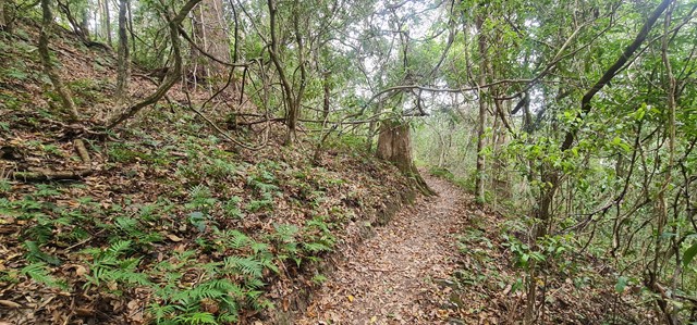
Pine Grove Circuit
An easy walk through rain forest with glimpses of the Pioneer Valley.
 17
km
return
5.5
hrs
17
km
return
5.5
hrs
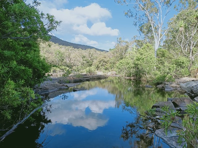
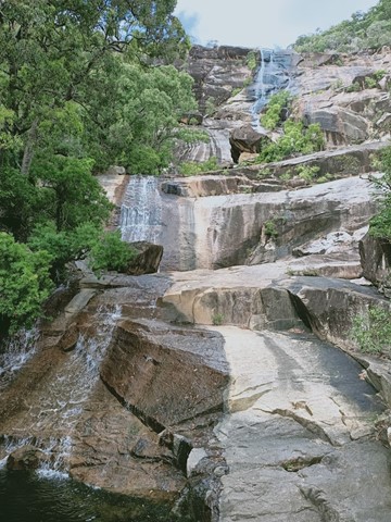
Alligator Creek Falls - Bowling Green Bay National Park
A longish walk (17 kilometres return) with a spectacular destination at the base of Alligator Creek Falls. The walk commences at the Picnic and Camping area, and is mostly gentle in grade, traversing up the Alligator Creek Valley through grassy open tropical woodlands, riparian forest and patches of rainforest. The walk involves 4 creek crossings, one at Cockatoo Creek, and 3 crossings of Alligator Creek itself. You will need to ford or boulder-hop at these crossings, depending on the water levels. Usually it is an easy boulder-hop, except for after flooding in the wet season. There are a couple sections in the middle of the walk which follow a power-line easement and access road. These sections can be hot and exposed in the middle of the day. This walk is best suited to the cooler months. Swimming is possible at the base of the Falls year round.
The 4 kilometre return walk to Cockatoo Creek provides a pleasant shorter option.
 27
km
return
27
km
return
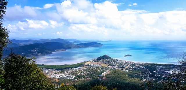
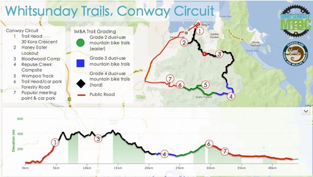
Conway Circuit (formerly Whitsunday Great Walk)
The tropical refuge of Conway National Park combines lush rainforest with magnificent views. The Conway Circuit takes you on a 28km journey through Conway State Forest starting at Brandy Creek (approximately a ten minute drive from Airlie Beach) and finishing in Airlie Beach.
 13
km
return
5
hrs
13
km
return
5
hrs
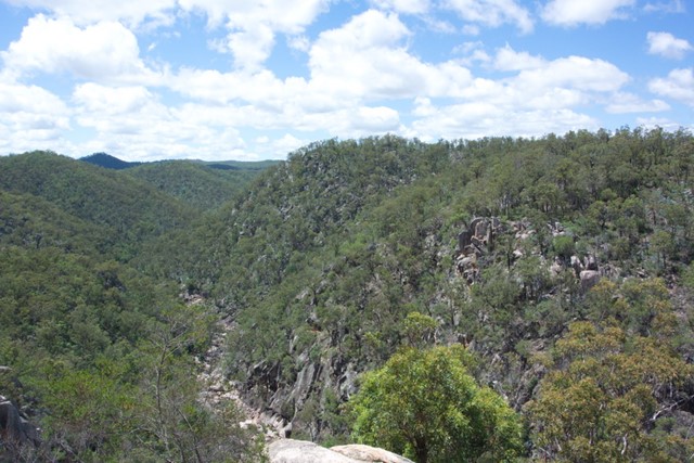
Valley of Diamonds
Starting from the same location as the normal day walks, it goes all the way to Perseverance Dam and then boulder-hopping all of the way up the gorge before a quick scramble up to Koonin Lookout
 12
km
return
7
hrs
12
km
return
7
hrs
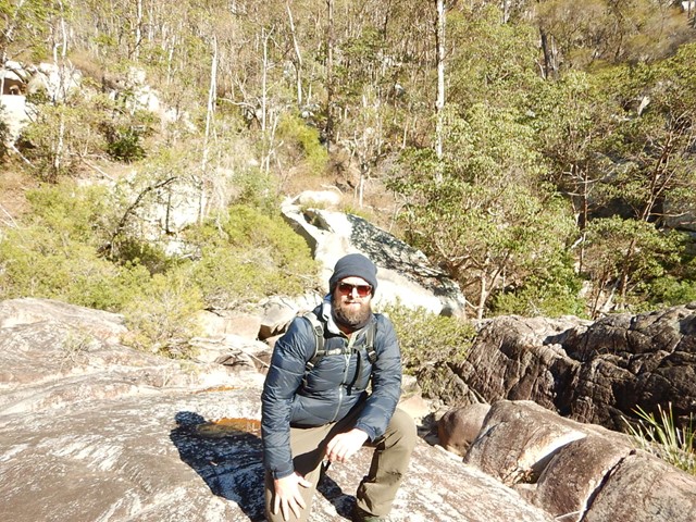
Crows Nest NP to Perserverance Dam
First 1/4 easy then 1/2 moderate then 1/4 hard. Try to get started early to avoid the heat. We took 7 hours to complete which had us doing the hardest part in the heat of the day.
At this date the creek portions were heavily overgrown and the rock hopping was hard since the floods of previous hears have washed out sand and small rocks leaving the entire Valley of Diamonds a hard slog criss-crossing the creek to find a navigable route. The bush has been badly degraded in recent years by drought and fires.
88.1
km
one-way
5
days
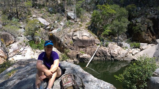
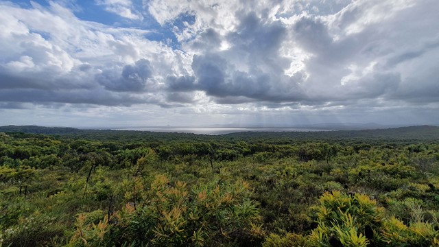
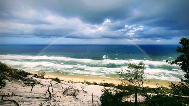
Cooloola Great Walk (original inland route)
This is a 5 day hike starting at Noosa North Shore and ending at Rainbow Beach (or vice versa). The inland route is shorter, at 88.1km. This route includes Poona Lake on Day 5 (or Day 1 if you are walking North to South). The 4 campsites each have toilets (bring toilet paper) and water tanks. Do your homework, get the topo map, do the prep and you will have an awesome time. The Cooloola Sandpatch, Carlo Sandblow and Poona Lake are highlights, but the scenery is breathtaking at many points along the way. I have downgraded the difficulty to medium as while at times the going is hard because of the distance, overall the hiking isn't that hard and if you're doing a multi-day you've probably done some training, yes?
 2.5
km
return
1
hr
2.5
km
return
1
hr
Foreshore walk
Discover the highlights of Mungo National Park on this easy walk. Walk across Lake Mungo and soak up the rich Aboriginal heritage of Willandra Lakes World Heritage region.
10
km
return
4
hrs
Zanci Pastoral Heritage Loop
Zanci was originally part of the large Gol Gol station, before being carved off as a small block for soldier settlers after World War I. The shearing shed is the same drop-log cypress pine construction as the Mungo Woolshed. In fact the Zanci shed was actually built from logs taken from the Mungo shed when it was 'down-sized' in 1922 - a response to the carve-up of properties and reduced productivity of the grazing lands.
100
m
return
15
mins
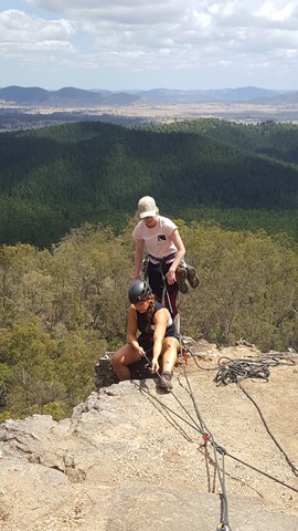
Eagles Nest
A short walk to a similar lookout to Point Pure, with its sandstone cliffs and views over hoop pine plantations and mature rainforest with emergent hoop pines.
Also a good place for some rock climbing and abseiling, if you're into that, or just watch the fun.
 410
m
return
15
mins
410
m
return
15
mins
Point Pure
A short walk leads to the lookout at the top of sandstone cliffs. The lookout offers views over hoop pine plantations and mature rainforest with emergent hoop pines. Beyond the plantations, Glastonbury Creek can be seen winding through grazing country.
Also a good place for some rock climbing and abseiling, if you're into that, or just watch the fun.
 4.3
km
return
105
mins
4.3
km
return
105
mins
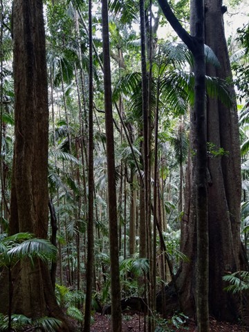
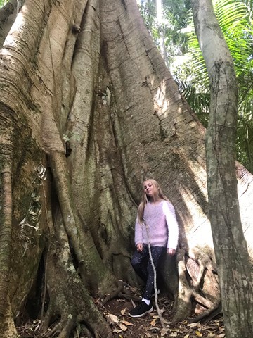
Jenyns Circuit
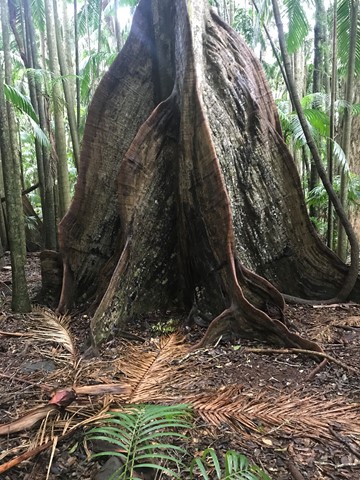
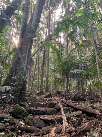
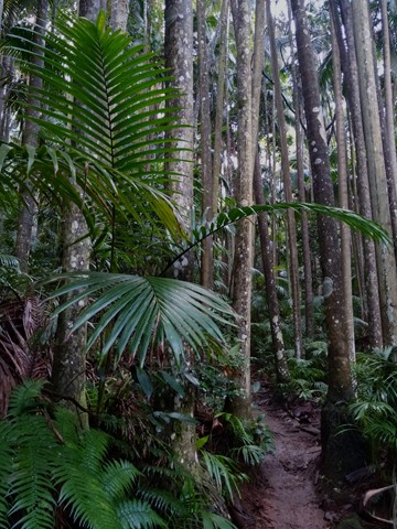
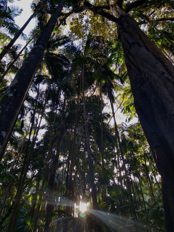
Palm Grove is named after the piccabeen palm that grows abundantly in this section. Explore the lush and diverse subtropical rainforest. Discover rainforest with emergent strangler figs, distinctively-buttressed yellow carabeens and fascinating fungi along the way.
Jenyns circuit drop from 530m to 340m and leads out into drier eucalyptus forest and open canopy. Here hoop pines, brush box and grey gums abound and you will pass through a grove of ancient cycads.
 7
km
return
2.5
hrs
7
km
return
2.5
hrs
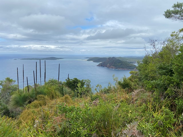
Mount Yaccaaba - Yaccaaba Head
Mount Yaccaaba is on Yacaaba Headland and is walking track with scenic views over Myall Lakes National Park just north of Port Stephens.
 3.4
km
return
75
mins
3.4
km
return
75
mins
Witches Falls
This is an easy walk. In the afternoon this walk is prone to high temps in the exposed areas. The conditions can change extremely fast always take rain protection.
 10
km
one-way
4
hrs
10
km
one-way
4
hrs
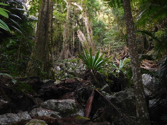
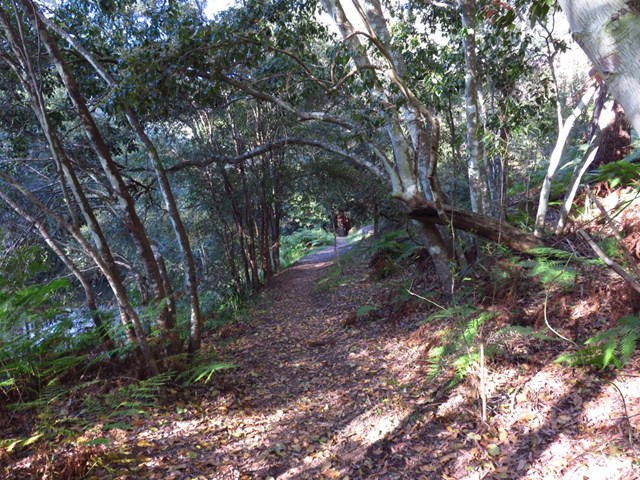
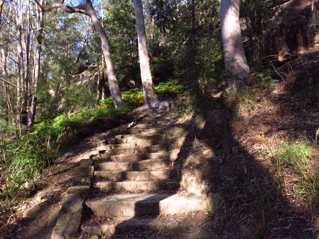
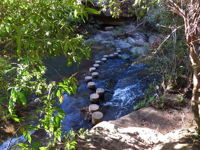
Thornleigh to Hornsby (GNW)
Starting at Thornleigh station you walk through suburban streets for a short while before diving into the bush at the southern end of Berowra Valley Regional Park. Soon after visiting the site of the historic Zig Zag railway you start wandering through the Berowra Creek valley, passing a few cascading creeks. The track undulates along the side of the valley visiting a range of environments from moist fern forest to the drier grass tree and eucalypt forests of the ridge. There is a short side trip to visit the Westleigh engravings and a chance to pop down to fishponds, before climbing up the depression era stone steps to Hornsby station.
 4
km
return
1
hr
4
km
return
1
hr
North Johnstone River Lookout
Along the Palmerston Highway this walk offers spectacular views of the North Johnstone River
 40
km
return
3
days
40
km
return
3
days
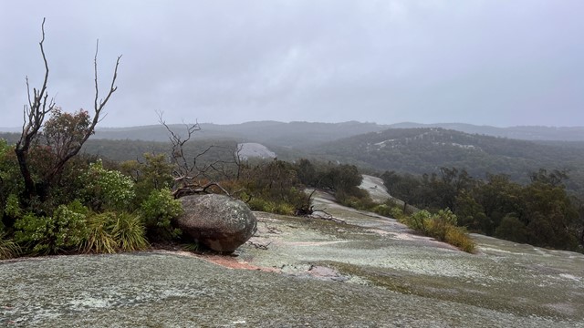
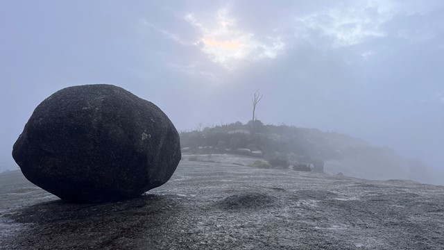
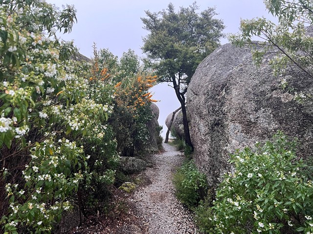
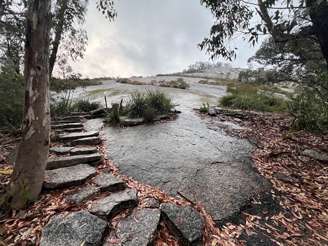
Eastern Peaks Circuit Girraween
A multi day hike (3 days comfortably but could be done in 2) that visits all major east peaks in Girraween. Wonderful scenery, wildflowers and wildlife.