
Menu

 3.5
km
return
3.5
km
return
 3
hrs
3
hrs
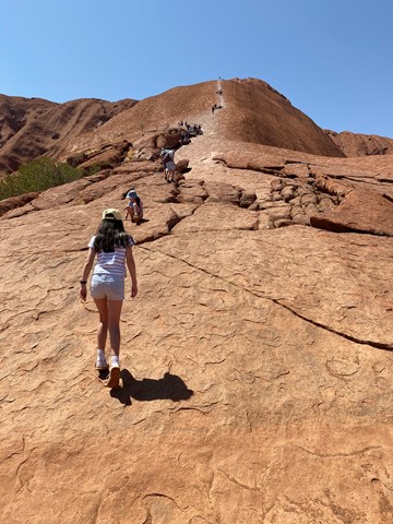
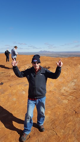
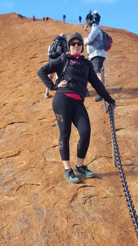
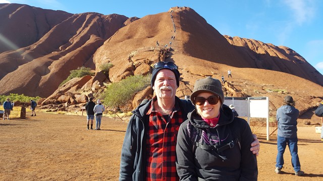
Uluru Summit
THIS WALK IS NOW CLOSED.
Iconic, surreal, majestic, imposing, striking, spiritual, magical. Everyone's impression is different, which might be one reason why no description is included in any Uluru promotional material of this wonderful sandstone monolith.
 11.8
km
return
4
hrs
11.8
km
return
4
hrs
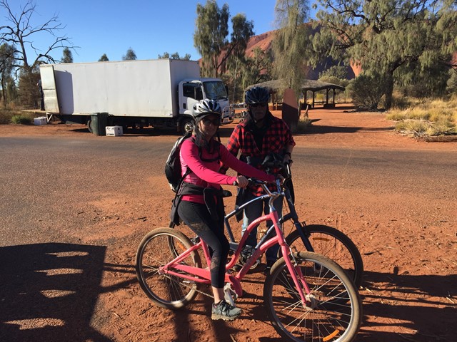
Uluru Base Walk
Escape the crowds and take a meandering journey through acacia woodlands and grassed clay pans. Discover the diverse plants, animals and geological features of the park. From Kuniya Piti you can follow the snake-like grooves along the base of the rock where Kuniya journeyed to Mutitjulu Waterhole. Encounter bloodwoods, native grasses and waterways. The Base Walk is the best way to fully appreciate the natural and cultural beauty of Uluru.
 7.4
km
return
2.5
hrs
7.4
km
return
2.5
hrs
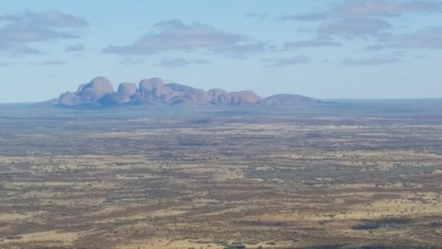
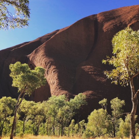
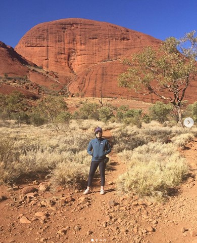
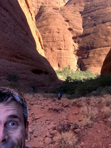
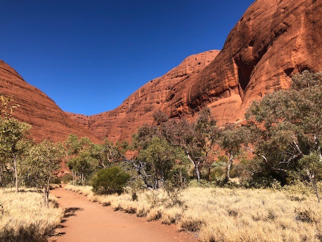
Valley Of the Winds
Kata Tjuta is Pitjantjatjara, meaning ‘many heads’ consisting of 36 stunning domed rocks. It is an Anangu men’s site and sacred under Tjukurpa (traditional law).
Take your time and soak in this very tranquil environment with absolutely spectacular scenery. The views are breathtakingly surreal and worth the effort, as the track takes you through valleys, along creek bed and far away from everyone and everything. And when they say 'valley of the winds', there are lots of valleys and it can be very windy!
 3
km
return
2
hrs
3
km
return
2
hrs
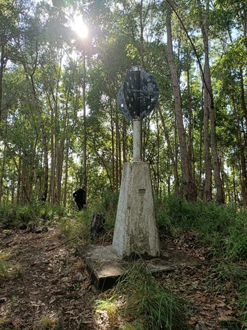
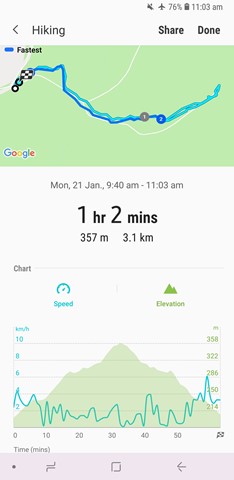
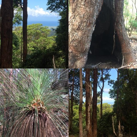
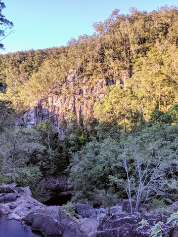
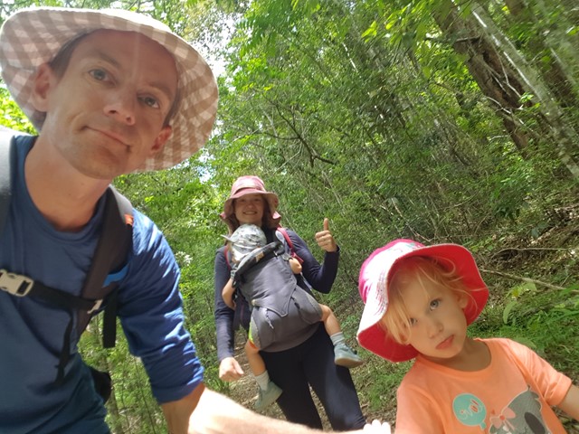
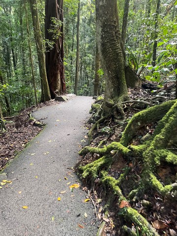
Burringbar Mountain
Nice walk on a single trail to the top of Mt. Burringbar after which the mountain range is named.
Offers some views through the trees down to the coast.
 56
km
return
4
days
56
km
return
4
days
Conondale Great Walk
Ancient rainforest, cascading waterfalls, crystal clear creeks, tall open forest and expansive views.
 22.3
km
return
4
hrs
22.3
km
return
4
hrs
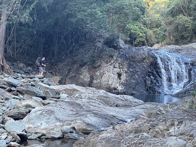
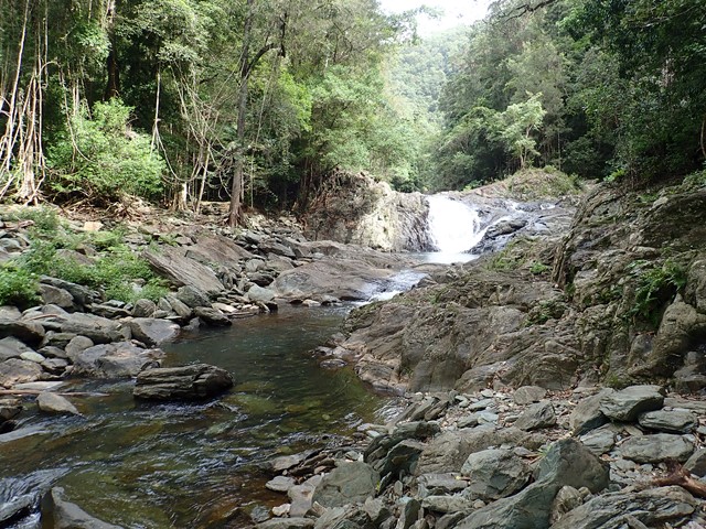
Booloumba to Summer Falls
Start at the Booloumba Day use area and take the Great Walk trail to the north west. I went to the old lookout...good view however cloudy and light rain. Great day hike well signed.
 24
km
return
6
hrs
24
km
return
6
hrs
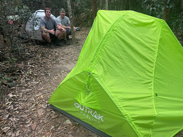
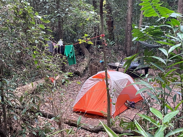
Booloumba Creek to Wongai Walkers Camp
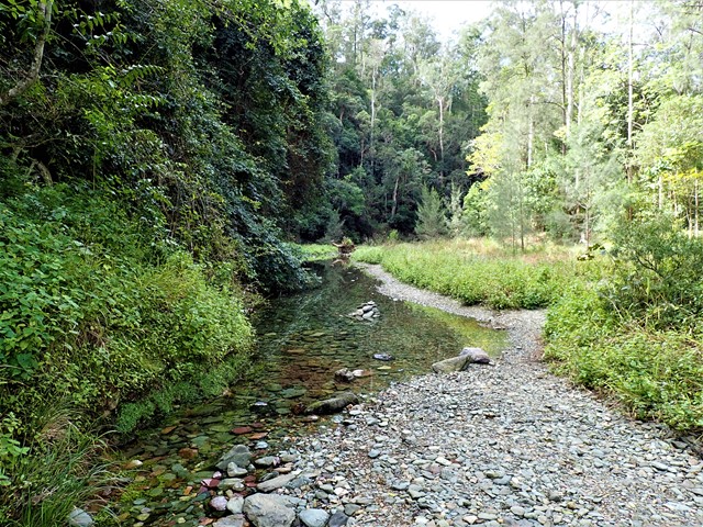
This can be done in 1 day if fit and keen enough or make it a 2 dayer as part of the Conondale Great Walk. . Great weekender hike if you like to camp too. Starting from the Booloumba Creek day use area hike up past the Artist Cascades then onto Booloumba Falls following to the Wongai walkers camp. Maps state that its 11km, but the GPS marked it out at 12.1km. Returning back the way you came. And best of all its most down hill for the return trip.
 1
km
return
1
hr
1
km
return
1
hr
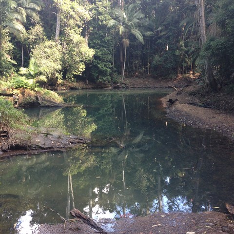
Booloumba Creek
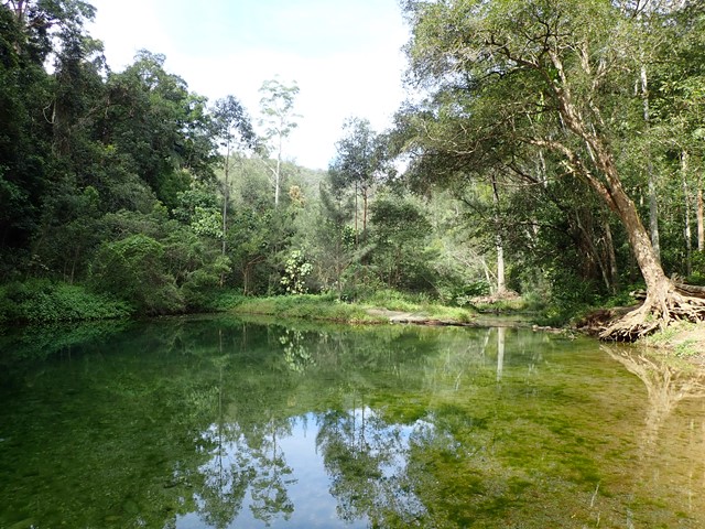
Went here after work one day with my wife, it was so relaxing to just walk in the creek and spend some quality time away from the coast.
 22
km
return
5
hrs
22
km
return
5
hrs
Charlie Moreland to Summer Falls
Nice relatively easy straightforward hike from Charlie Moreland Campground over Mt Allan to Summer Falls and/or Summer Falls Walkers Camp.
For those who do not have a 4wd in getting to Bolumba , this makes a nice day hike , or you could even camp there for a night of peace and quite.
 24.63
km
return
7.75
hrs
24.63
km
return
7.75
hrs
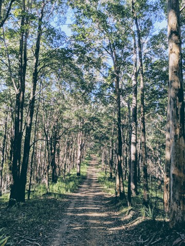
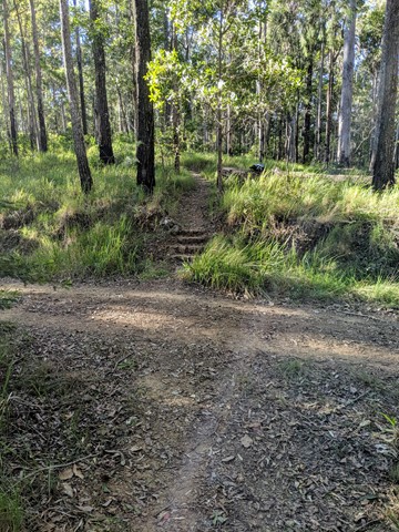
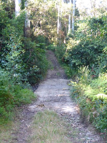
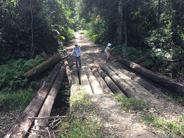
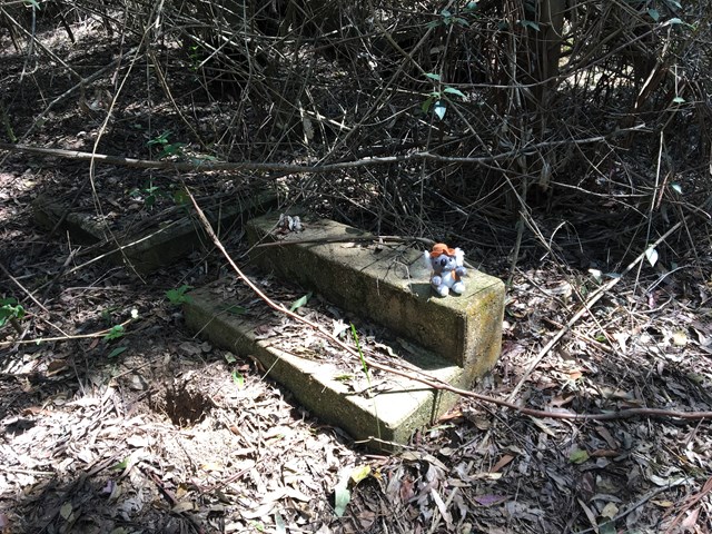
Sunday Creek Fire Tower
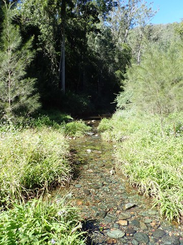
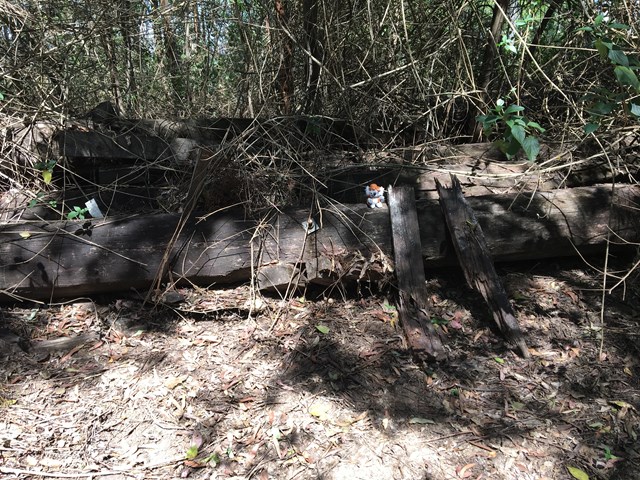
A lovely walk through pristine forest and patches of rainforest passing over old bridges.
 29
km
one-way
6
hrs
29
km
one-way
6
hrs
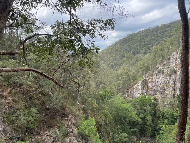
Conondale Great Walk Southern Cct
The walk traverses the Bundaroo and Booloumba Creeks Catchments, mostly following the Connondale Great Walk but utilises cross tracks to truncate the walk.. The lowest point on the walk is the Bundaroo Creek Crossing
 12.2
km
return
3
hrs
12.2
km
return
3
hrs
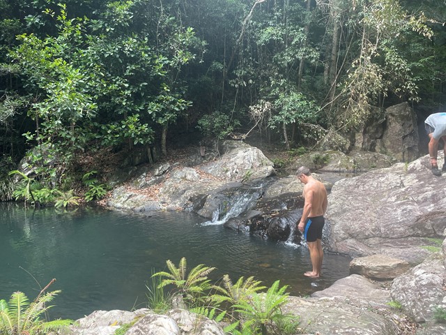
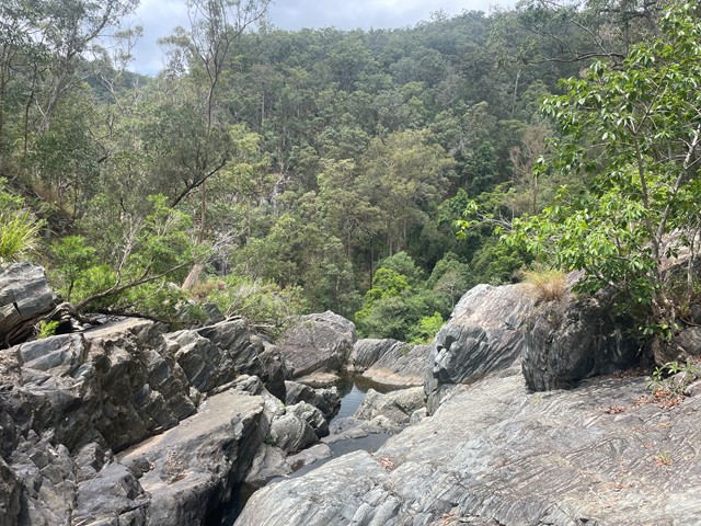
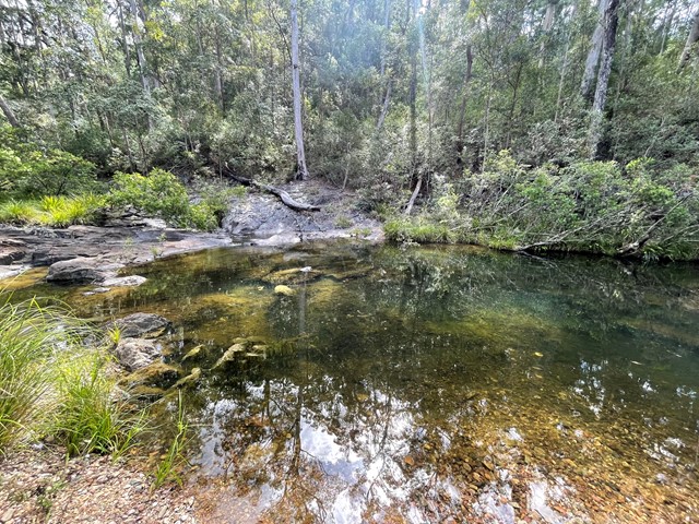
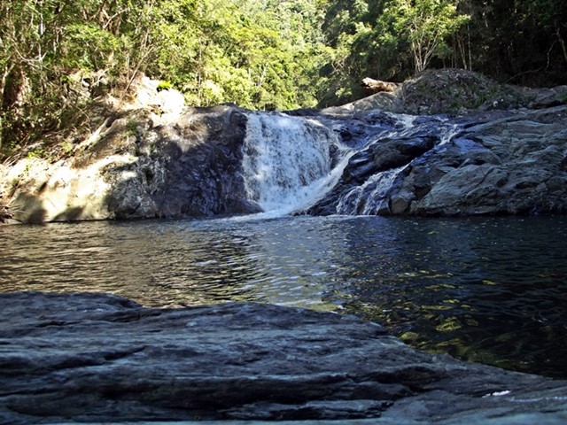
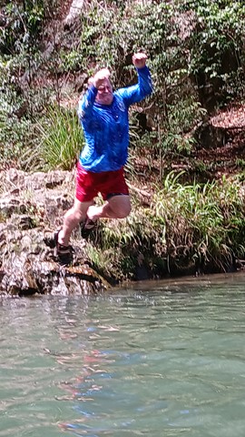
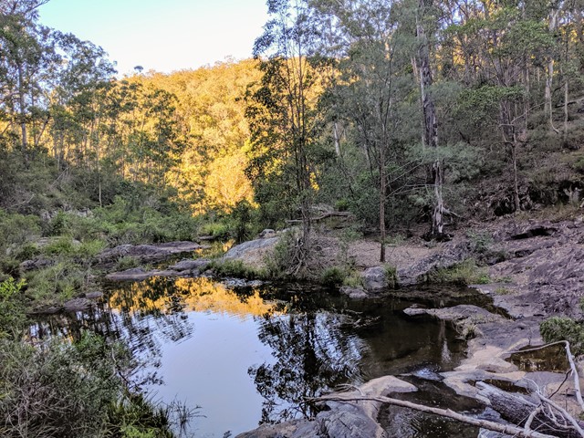
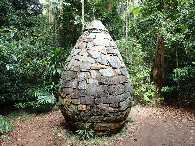
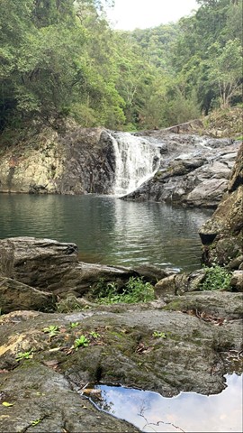
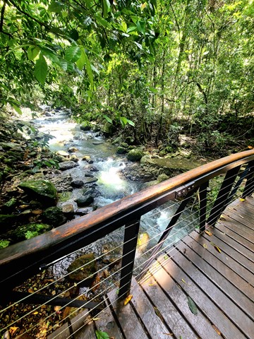
Artists Cascades
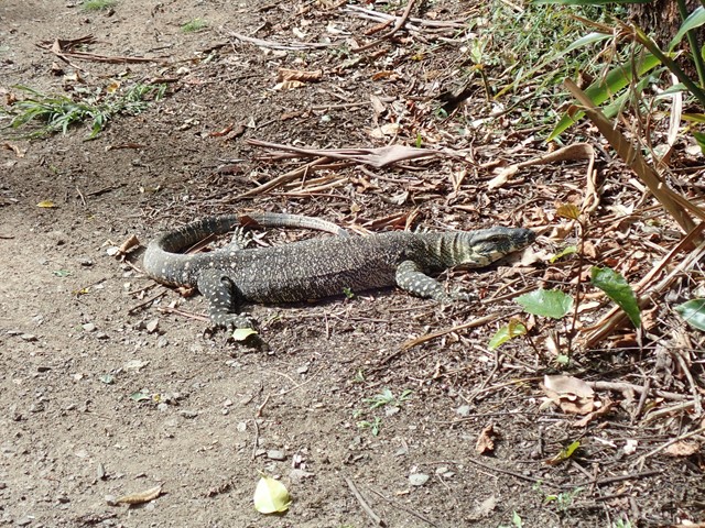
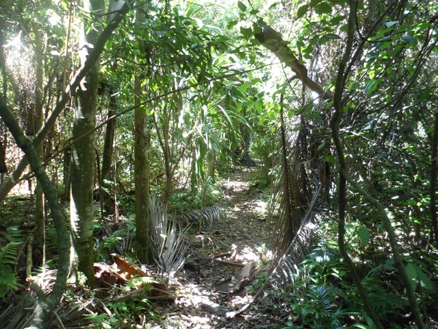
This walk is part of the Conondale Great Walk and follows Booloomba Creek. You walk through subtropical rainforest and wet sclerophyll forest. There is abundant birdlife along the path as well as goannas and skinks. The cascades is a great place to have a swim after the long walk to get there. You can also take a couple of side tracks along the way to the Strangler Cairn and the gold mine.
 1
km
return
30
mins
1
km
return
30
mins
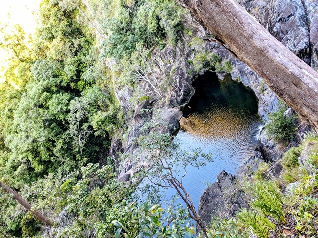
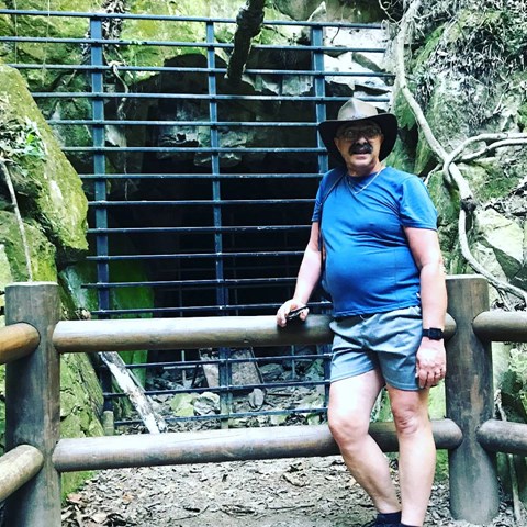
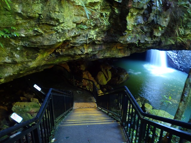
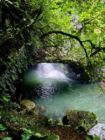
Natural Bridge
A sealed circuit track takes you through the forest, across Cave Creek, and into the arched cave to witness the waterfall plunging from above. At night the cave is illuminated by thousands of glow-worms' tiny green lights. While glow-worms are visible year-round, their display is significantly reduced during the winter months. Interpretive signs along with the circuit highlight the park's special features. The hoop pines Araucaria cunninghamii that emerge through the thick greenery of the surrounding rainforest are living relics of the Jurassic Age—the age of the conifers—about 180 million years ago. These pines are 'living dinosaurs'—they are among the most primitive of conifers.
 4
km
1
hr
4
km
1
hr
Poets Rock
From Stretton Reserve, cross the bridge and head up Casuarina Track. Take the right onto Macaluta track. About a kilometre or so in, right before you hit the join with Hakea track, you'll see a steep track heading to the left. Scramble up there and you've reached the peak of Poets Rock. A good place to think and write poetry.
 4.4
km
2
hrs
4.4
km
2
hrs
Palm Grove Circuit
Branching from the Rainforest Circuit, this walk ends in a one kilometre circuit featuring a dense grove of Piccabeen palms in rainforest and open eucalypt forest. A variety of birdlife can be seen and the track is suitable for all ages.
 10.6
km
one-way
3.5
hrs
10.6
km
one-way
3.5
hrs
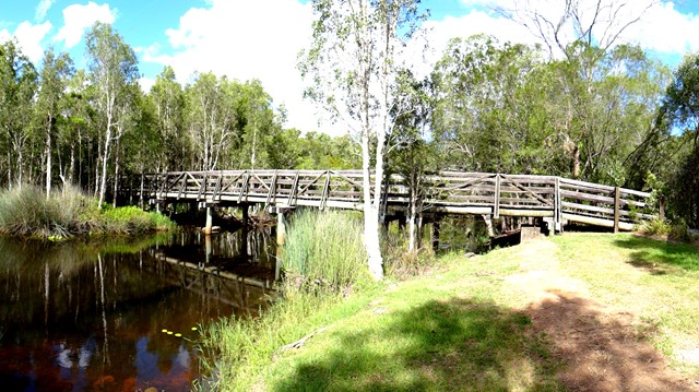
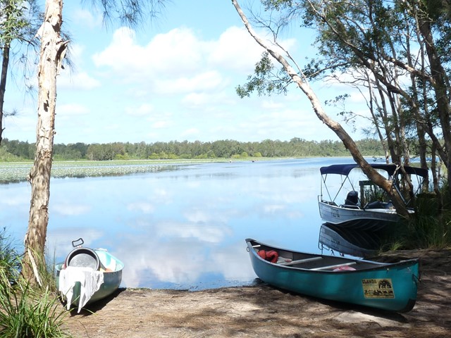
Elanda to Fig Tree Point
Stroll through the Cooloola wilderness to the pleasant Fig Tree Point campground.
Note (29/10/2020): The southern section of the Cooloola Wilderness Trail from Elanda Point to Fig Tree Point is not accessible due to the Kin Kin Creek walk bridge having washed away during flooding. Planning for a new bridge is underway (ref https://parks.des.qld.gov.au/parks/cooloola/camping/figtree-point)
 2.2
km
return
1
hr
2.2
km
return
1
hr
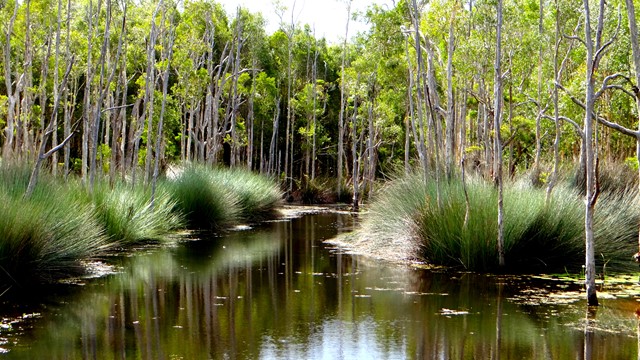
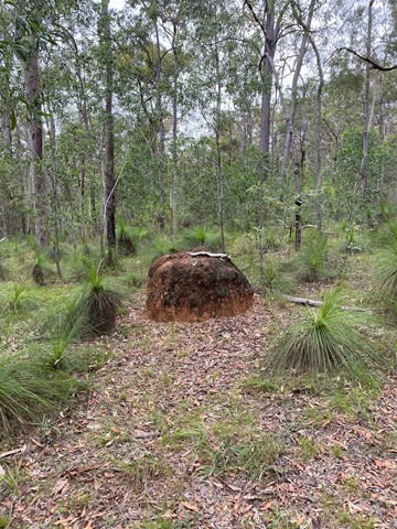
Glastonbury Creek Loop
A looping walk up to the top of the ridge above the camp site, through the eucalypt forest and abundant grass trees, before returning downhill to Glastonbury Creek.
 2.2
km
return
90
mins
2.2
km
return
90
mins
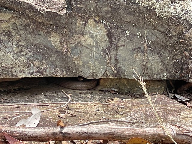
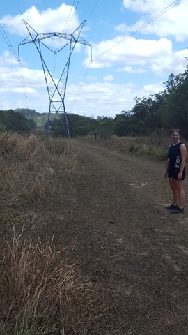
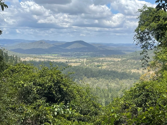
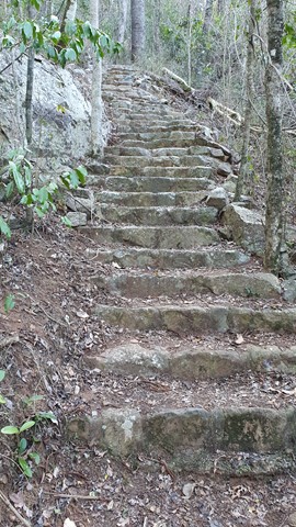
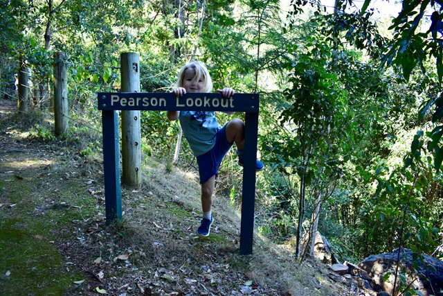
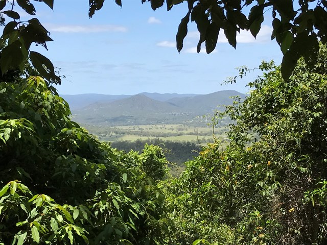
Pearson Lookout
This great little walk is a great heart pounder as you ascend to the lookout. There's plenty of steps. One thing to watch out for is the giant spiderwebs with accompanying giant spiders that stretch across the track. Great views from the top.
 1.2
km
return
45
mins
1.2
km
return
45
mins
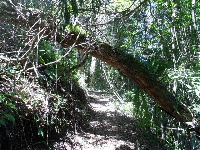
Scubby Creek Circuit
Meandering along Scrubby Creek this track lets you explore the hoop pine vine forest and takes you past giant figs. Listen out for the “whip crack” call from the male eastern whip bird and the female’s “choo choo” response.
 1
km
return
30
mins
1
km
return
30
mins
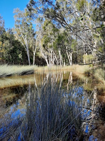
Permanent Water Hole / Ooline Creek
Permanent Waterhole / Ooline Creek is a walk in Sundown National Park. Its an easy walk along a clear path.
Located On the Queensland – New South Wales border, 250 km south-west of Brisbane via Stanthorpe and 70 km north-west of Tenterfield.
Sundown is a rugged wilderness area of spectacular sharp ridges and steep-sided gorges. The Severn River and its tributaries, woodland birds and remains of pastoral and mining heritage can be discovered via maintained walking tracks, challenging remote walks or the four-wheel-drive (4WD) track.