Menu

 4
km
return
4
km
return
 1
hr
1
hr
Spotted Gum Trail
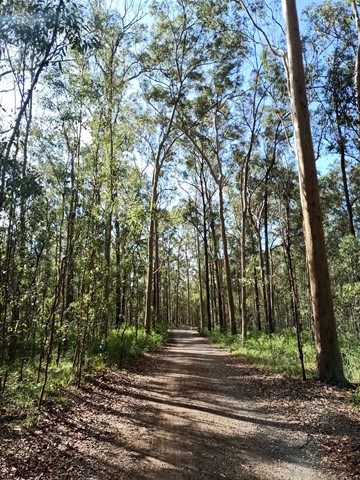
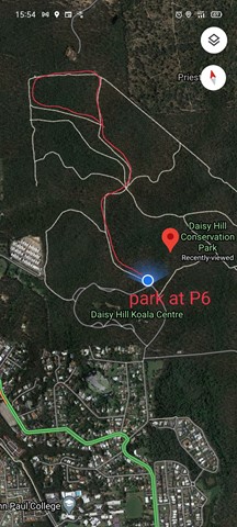
A fairly level four wheel drive track, so is quite an easy going walk, but a few hilly bits. It takes you through Eucalyptus forest. For best parking, park at the top right "corner" of the Daisy Hill Rd parking loop at P6. There is a small toilet at P7 about 100m south from P6 on the same loop. The track can also be accessed at its top left side from Underwood Road. This loop track can be accessed from the Tree Discovery Trail. There is a track that branches links the two. 4km approx. 1hr
 5.3
km
return
5.3
km
return
Lobethal Bushland Park - Purple Trail
The purple trail is the longest walk in Lobethal Bushland Park and parses both the lower and upper dams. The walk is scattered with gums showing signs of regrowth after bushfires in 2020. This walk is a good way to see all the park has to offer. The purple trail has an optional extension which ads approximately 1km to the journey. This extension is included in the measurements and maps provided.
8.4
km
return
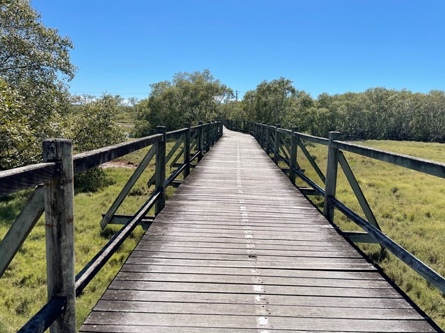
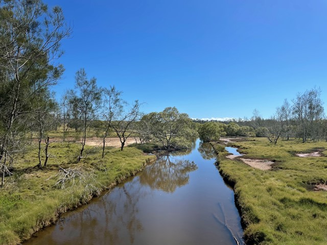
Boondall Wetlands Bikeway
Walking and bike track leading from Boondall Wetlands Environment Centre to Nudgee Road.
 5.4
km
return
90
mins
5.4
km
return
90
mins
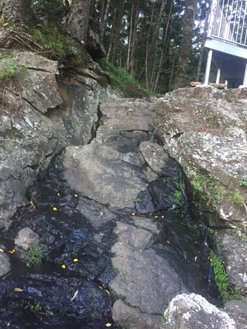
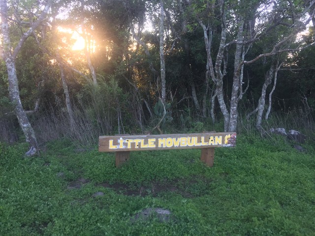
Russel Park Walking Tracks
A circuit which takes you to Cunjevoi falls, Little Mobullan (mountain), Chute #3 and back to the picnic area down the road. You return via the road.
 4.8
km
one-way
90
mins
4.8
km
one-way
90
mins
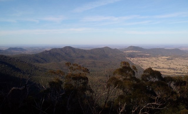
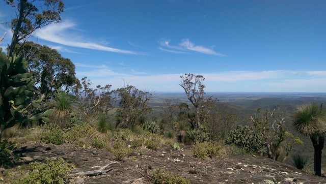
Westcott to Cherry Plain
The second section of track along the western side of the Bunya Mountains with views over the plains.
 6
km
one-way
2
hrs
6
km
one-way
2
hrs
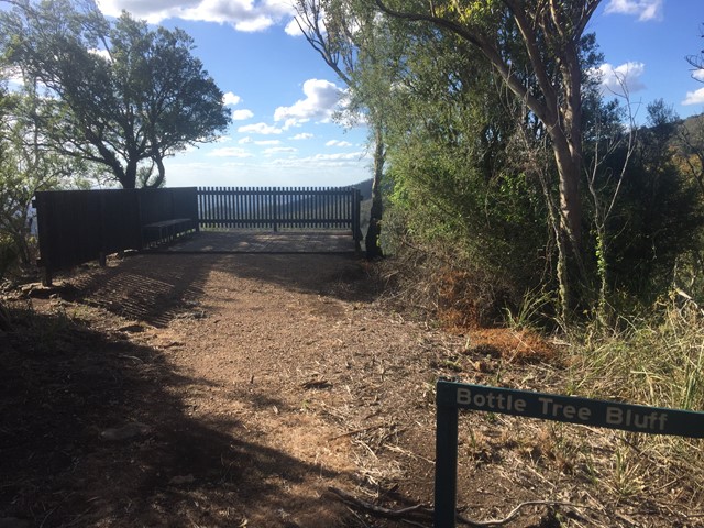
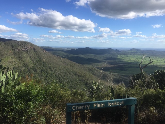
Cherry Plain to Burtons Well
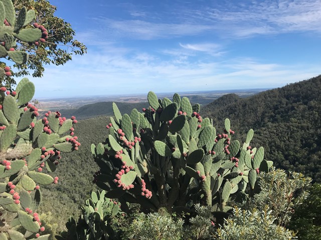
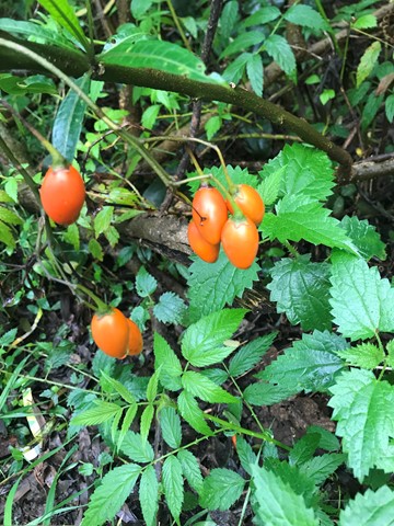
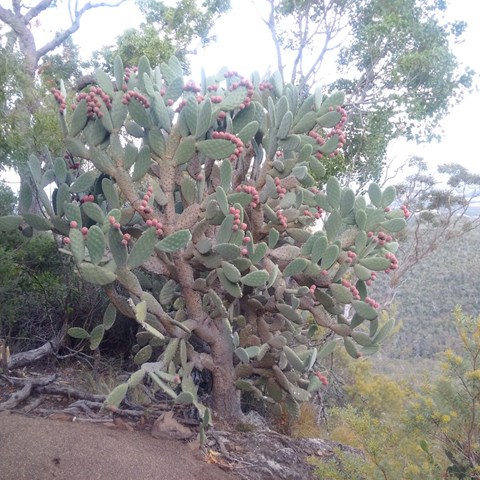
This walk takes you along the Western Side of Bunya Mountains, passing three lookouts with views over the plains. Vegetation is dryer towards the the cliffs, with vine forests closer to the road. The path gradually ascends as you follow it in this direction. An easier walk may be to start sat Burtons Well.
 800
m
return
20
mins
800
m
return
20
mins
JCU Walking Track
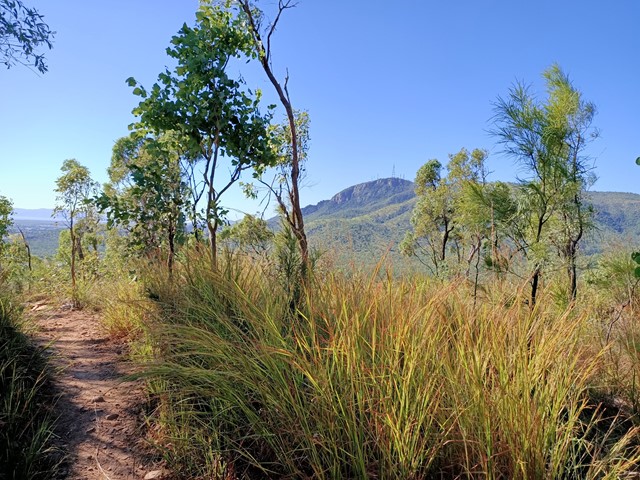
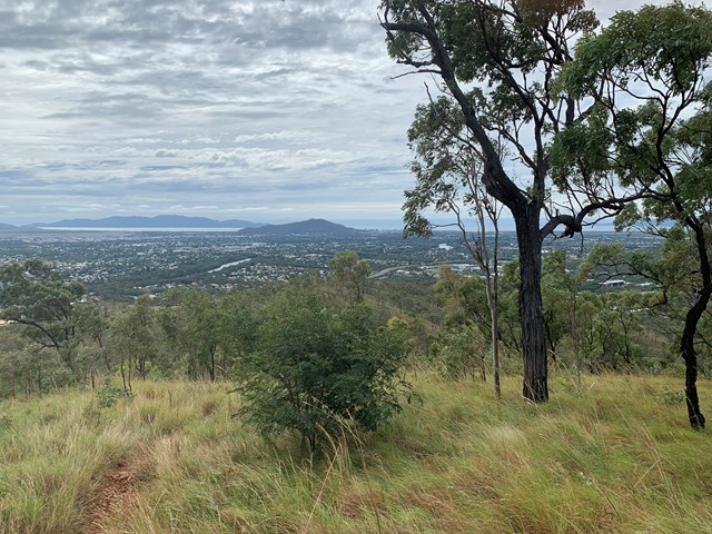
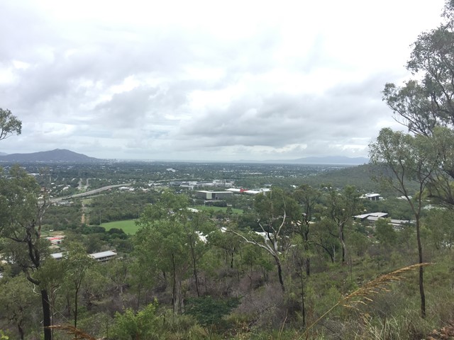
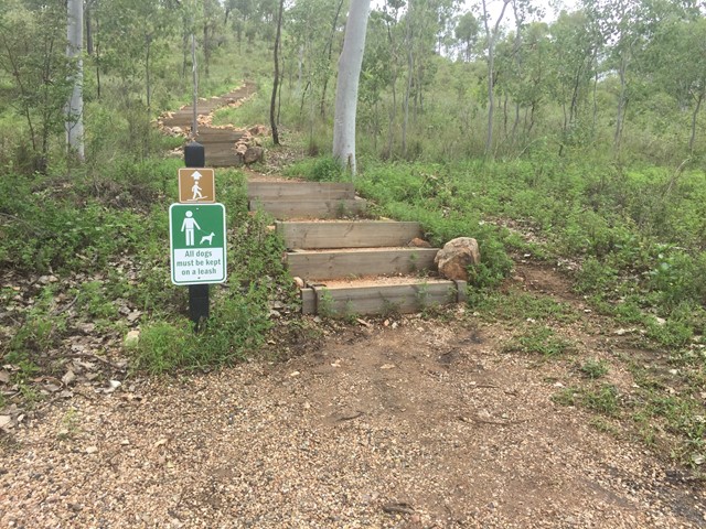
The JCU Walking Track is a joint project of TropEco and JCU Discovery Rise. 493 well-maintained steps through beautiful bushland up to a gorgeous view of Townsville out to the ocean and James Cook University. Kangaroos, crickets and other critters are common along this enjoyable walk.

 4.3
km
return
80
mins
4.3
km
return
80
mins
IndigiScapes
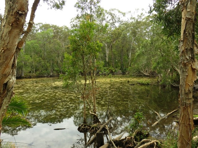
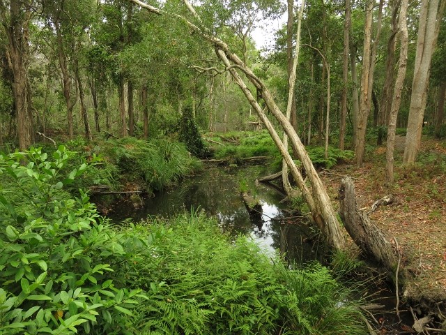
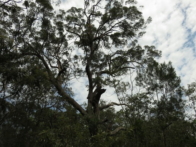
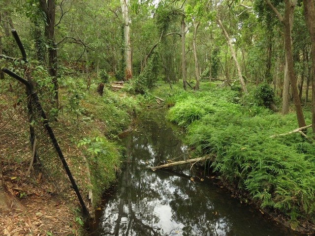
Indigiscapes is now reopen after renovations. See their website for the latest information - https://indigiscapes.redland.qld.gov.au/ There are various walking trails and guided tours offered at Redlands IndigiScapes Centre. Most areas are wheelchair friendly. You can have a picnic or BBQ in the vast grounds or enjoy a meal at our Tea Garden, set on an open verandah overlooking the bushland.

 5
km
return
3
hrs
5
km
return
3
hrs
Fisherman's to Long then Monkey and Shelving
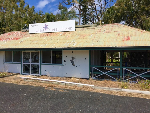
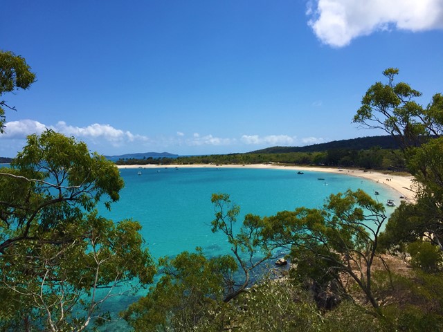
From Fishermans Beach make your way to the old runway behind the resort which you can follow to Long Beach. Then you can head over the head land past an aboriginal shell midden to Monkey Beach then to shelving and back to Fishermans.


 20
km
return
24
hrs
20
km
return
24
hrs
Great Southern Figure of Eight Loop
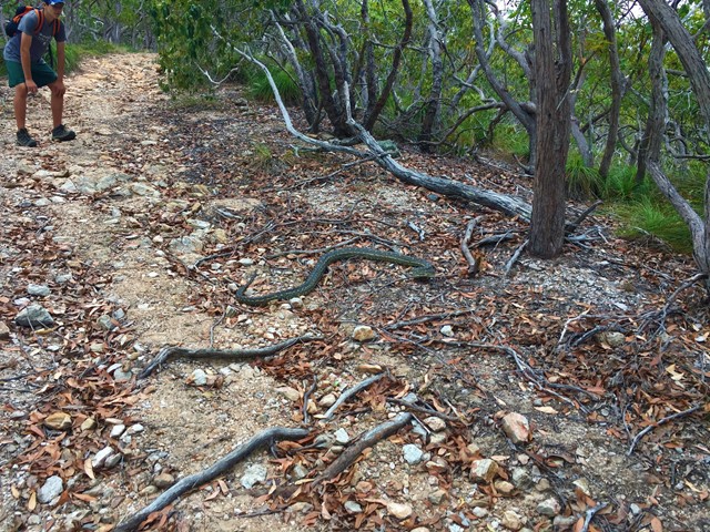
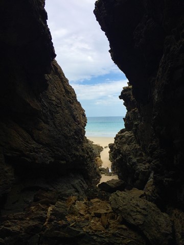
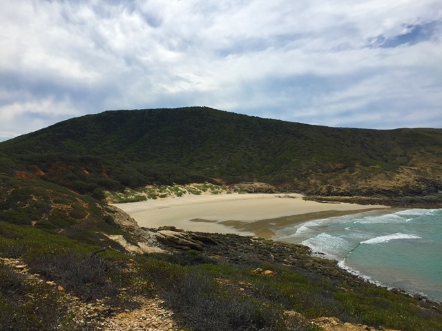
Start at the western end of Putneys Beach climb over headland to Leekes Beach then inland along a path running to the west of the lagoon. Then turn west then south and go to 2nd Lookout then to Mt Wyndham then continue to clam bay through Butterfly Gully. Then to Coconut point and over to Red Beach then up to the lighthouse. Then along the lighthouse track which follows the ridge line back to the lagoon and historical homesteads. Then past the dam then onto 1st lookout then continue out to Fishermans Beach and then north to the starting point. Animals: peacocks, snakes, goats, butterflys, sharks and more Not an official walk but an amalgamation of a few. Most enjoyable walk i've done followed it with the Northern Beaches Walk also an amalgamation of self design the next day great place to visit worth wish listing.


 17
km
return
24
hrs
17
km
return
24
hrs
Northern Beaches
Start point the Western end of Putney Beach head over the headland to Leekes Beach continue along it till the tidal lagoon. If low tide continue straight across to Second Beach if high tide circumnavigate the lagoon then continue onto to Svendsens Beach and around Little Peninsular to Butterfish Bay then cut across the sand hills to Wreck Beach then back across the dunes to svendsens and follow your way back. Look out for the wildlife, Peacocks, snakes, goats e.c.t. An amalgamation of walks to provide a day treck.

 1
km
one-way
20
mins
1
km
one-way
20
mins
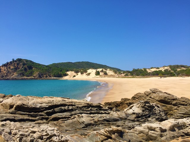
Fisherman's Beach to Shelving Beach
Shortest walk to a snorkelling beach on Great Keppel Island
7
km
return
2
hrs
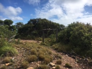
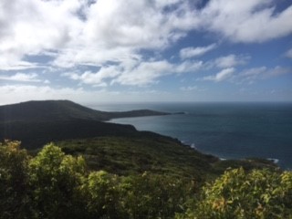
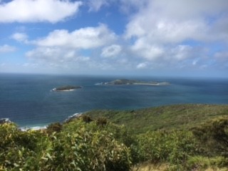
Mount Wyndham Loop
A short walk to the highest point on Great Keppel Island. Has dramatic views of the stunning coast line.
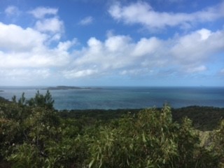
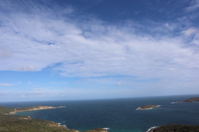 2.5
km
return
90
mins
2.5
km
return
90
mins
Middle Island Summit
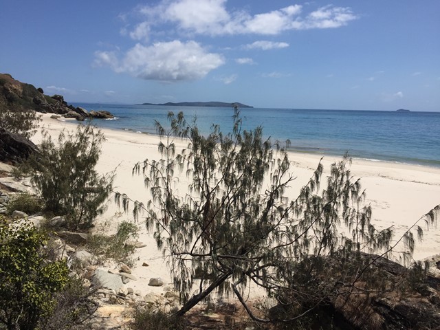
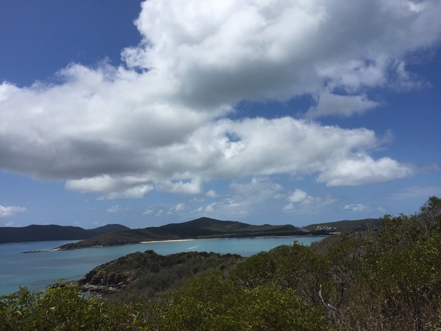
Walk from sunset beach to the far Northern point then across the Northern most of the two Eastern beaches and to the summit and back. No actual path some bush bashing and best view is from just before the summit as the summit's view is obscured by trees.
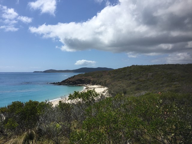
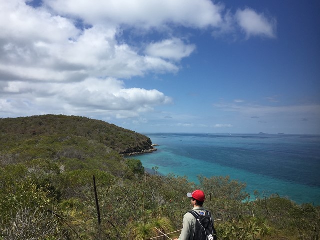
 14
km
4
hrs
14
km
4
hrs
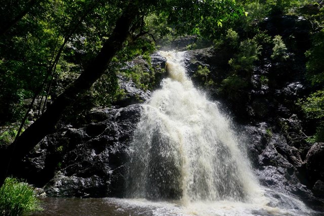
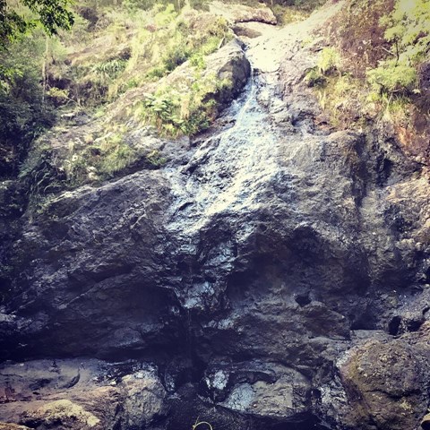
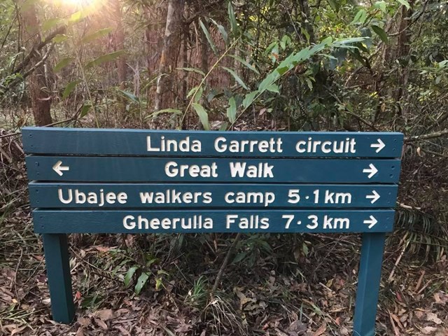
M4 parking/Ubajee walkers camp/Gheerulla falls loop
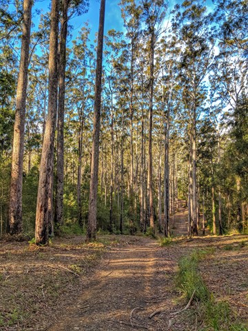
This is pleasant walk which is part of the Sunshine Coast Great walk. To get there turn down Delicia road and proceed to the M4 parking area. From there take the Great walk trail that leads to the Ubajee Walkers camp. From the camp follow the trail down to the Gheerulla falls and then from there its simply a matter of following the track back up to Delicia road (appr 2 km) and back to the carpark via the dirt road.

 2
km
return
1
hr
2
km
return
1
hr
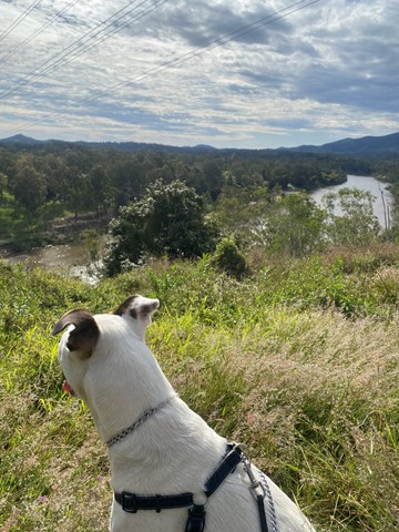
Anstead Bushland Reserve
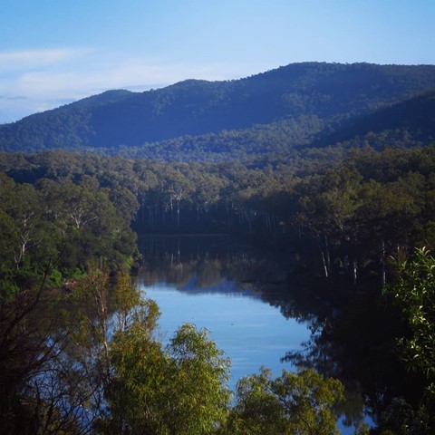
Mostly flat, very easy walking tracks, well signposted. Lots of local wildlife information along the walk and quiet a nice view out over the old quarry and Brisbane River.

 8
km
return
3
hrs
8
km
return
3
hrs
Hartz Peak - Hartz Mountains National Park
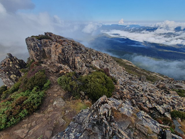
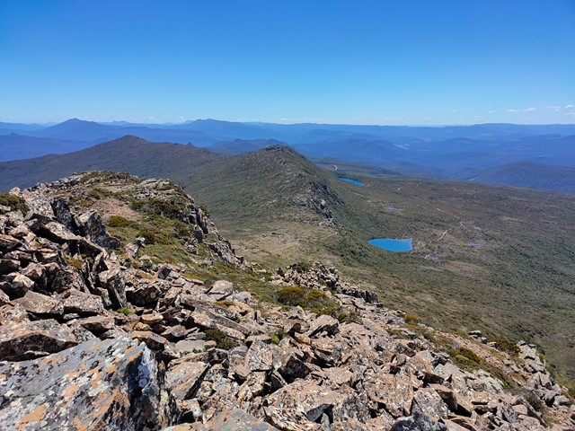
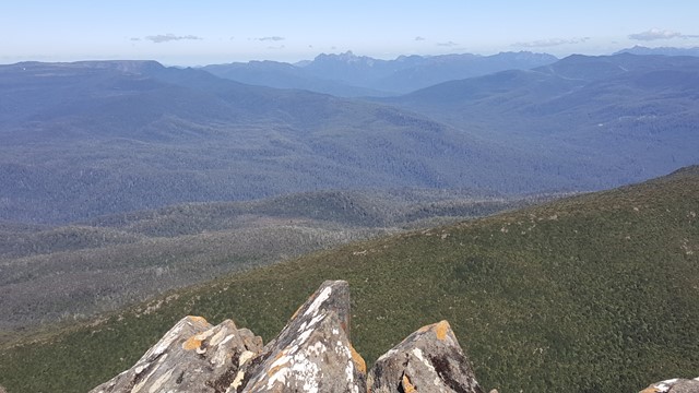
Pittoresque hike and alpine feel, suitable for everyone with plenty of photo spots and fantastic picnic options by the lakes. Watch the weather.


 1.4
km
return
90
mins
1.4
km
return
90
mins
Protesters Falls walking track
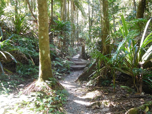
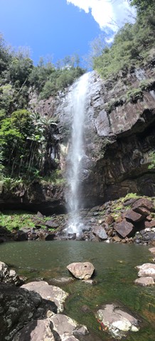
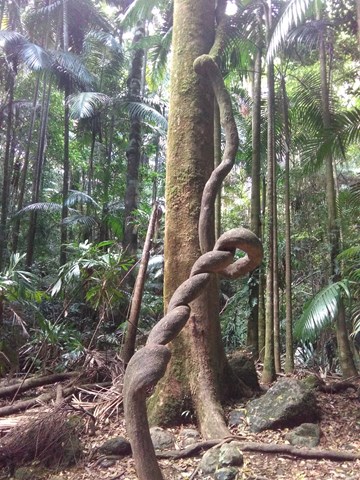
Protesters Falls walking track leads through superb World Heritage rainforest before arriving at spectacular waterfalls in Nightcap National Park, near Lismore.

 30
km
return
30
km
return
Fernleigh Track (Lake Macquarie)
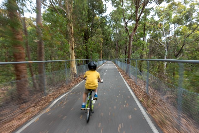
An easy cycling path (or hiking track) between Belmont and Adamstown on the Central Coast, which follows a disused rail line.
 4
km
return
1
hr
4
km
return
1
hr
Lake Louise Lakeshore
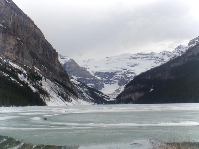
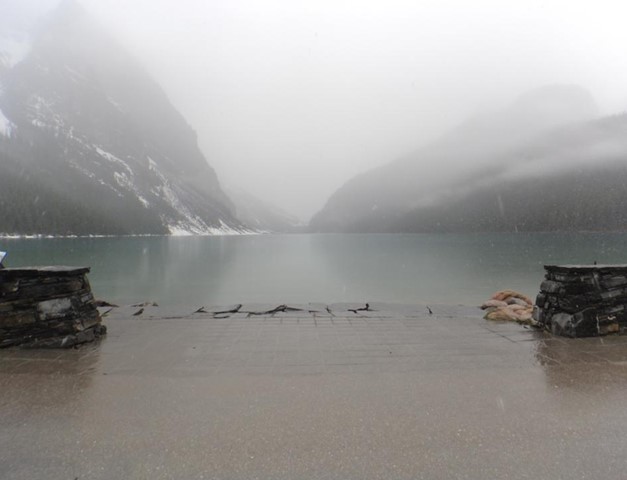
Easy walk, takes you to the back of the lake. Wheelchair friendly.