
Mount Wyndham Loop
Great Keppel Island


Menu
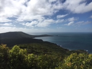
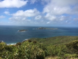
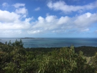
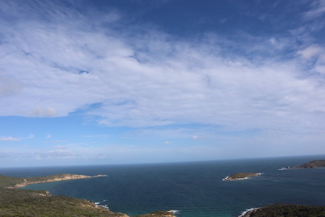
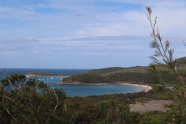
A short walk to the highest point on Great Keppel Island. Has dramatic views of the stunning coast line.
Swimming
Coastal
175m
Maximum Elevation

Getting there
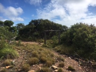
From Fisherman's Beach Visitor Center, find an unmarked sandy road that does not lead to any accomodation. This will eventually lead to signs pointing towards Mount Wyndham and First Lookout. Follow these signs until you reach the summit.
Maps
https://issuu.com/capenterprise/docs/gki_final__visitor_map_hr
Route/Trail notes
The walk is poorly signed and is unclear how to get there. If you follow the map on the link above and follow the road, you will get there. The walk is fairly easy, but has some uphill climb.
GPS Tracks
- No GPS available for this walk yet.
 7
7 2
2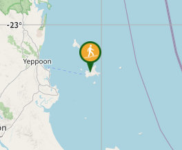
Comments