
Menu

 5
km
return
5
km
return
 4
hrs
4
hrs
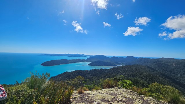
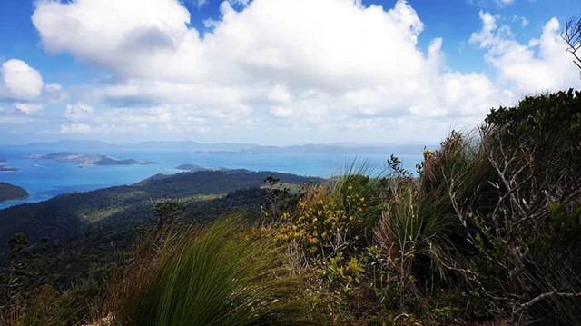
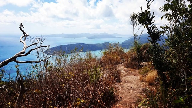
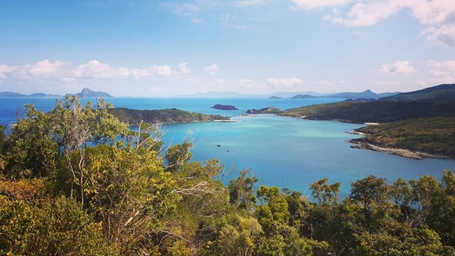
Whitsunday Peak
Whitsunday Peak is a 5km, Return hike located in Whitsunday Islands National Park Queensland. The hike should take approximately 4hrs to complete. Awesome view at the top
 1.3
km
return
20
mins
1.3
km
return
20
mins
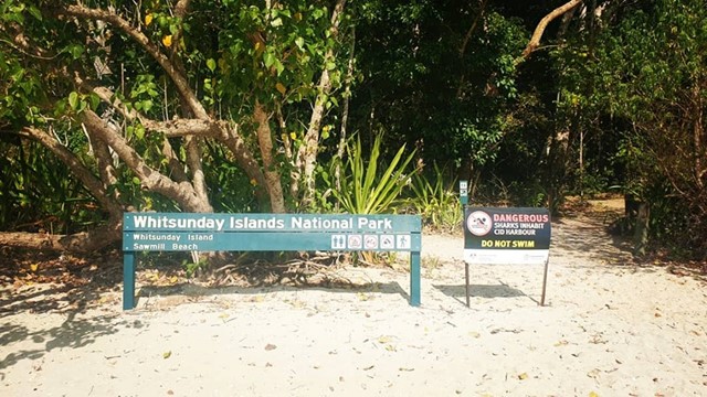
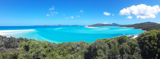
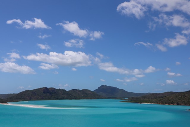
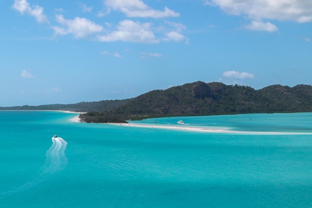
Hill Inlet Lookout
A short walk to the top of the lookout for stunning views of the shifting sands of hill inlet and Whitehaven beach.
 17
km
5
hrs
17
km
5
hrs
Lake Manchester loop
Starting and ending at the day use area, this is a clockwise loop in the hills around Lake Manchester through a conservation park adjacent to the D'Aguilar Range National Park (Brisbane Forest Park section).
 1.2
km
return
45
mins
1.2
km
return
45
mins
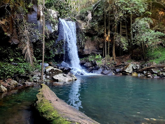
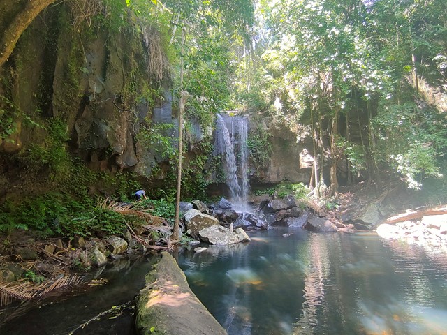
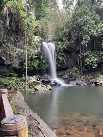
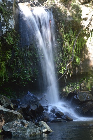
Curtis Falls
This enchanting walk begins in wet eucalypt forest beneath towering flooded gums. Notice a drop in temperature as the wet eucalypt forest merges into lush rainforest. Beautiful crows nest and staghorn ferns can be seen in the canopy above. The rock pool and surrounding basalt rock face provide important glow-worm and platypus habitat.
 7.5
km
return
3
hrs
7.5
km
return
3
hrs
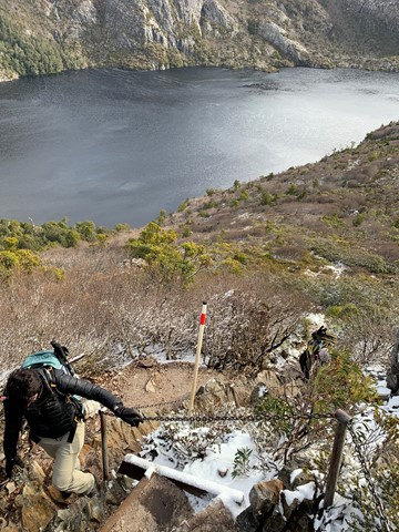
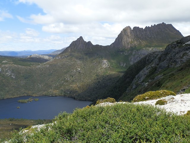
Marions Lookout
High on the western side of Dove Lake, Marions Lookout provides breathtaking views to Cradle Mountain and over Dove Lake and Crater Lake.
 5
km
return
5
hrs
5
km
return
5
hrs
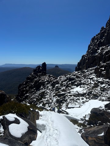
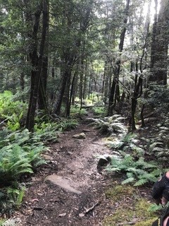
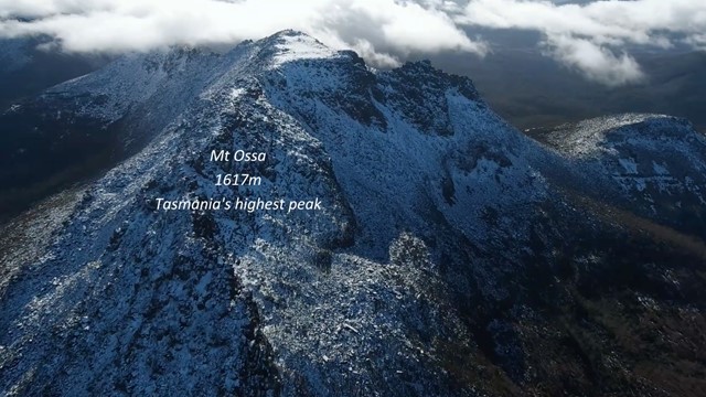
Mt Ossa Climb
A great climb of Tasmania's tallest Mountain in the beautiful Tasmanian Alpine region.
The return climb itself takes about 5 hours. For about the first 70%, the trail is a moderate upslope with steel and wooden boardwalks which evolves into a laid stone pathway. The last 30% becomes a fairly steep rock and bolder climb. In dry conditions even walkers of low fitness/experience can make this difficult climb. If its raining or snowing I would suggest novice climbers travel with someone with experience or wait until conditions improve. Getting to the base of this climb is the greatest challenge which is explained bellow.
 14
km
return
5
hrs
14
km
return
5
hrs
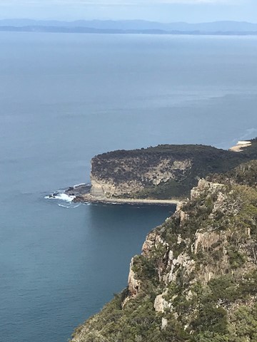
Cape Raoul
This walk is part of the Three Capes walk. This is day one of the three capes. It took the group 5 hours to do 14 Klm's. There is hills, steps and great views.
 4.7
km
return
1
hr
4.7
km
return
1
hr
Platypus Bay
An easy walk to a nice beach, with a nearby "hide" for viewing platypus (best at dawn and dusk).
This easy walk follows the crest of glacial moraine for part of it's route and takes you through eucalypt and then rainforest to the junction of the Cuvier and Hugel Rivers. in Spring and summer many wildflowers, including acacia, waratah, hakea, orchid and leatherwood are in flower. Many birds and other wildlife including wallabies, pademelons, echidnas and tiger snakes make be seen on the walk.
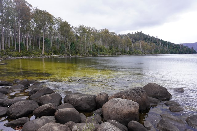
From Cynthia Bay at Lake St Clair, three varied short walks offer a taste of the southern end of the famous Cradle Mountain-Lake St Clair National Park.
The lamairremener tabelti walk offers an insight into the Aboriginal people who lived around leeawuleena (Lake St Clair) for thousands of years.
The Watersmeet Walk takes you to the confluence of the Cuvier and Hugel rivers. A short walk beyond that is a loop to Platypus Bay, where platypus are sometimes seen. All three walks can be combined for a 4.7km figure-of-eight loop.
 7
km
3
hrs
7
km
3
hrs
Montezuma Falls walk
Tumbling an impressive 104m, it is a tremendous reward for those taking the 7km, 3-hour return track that follows the old North East Dundas Tramway, which serviced various mines in the area.
 4.3
km
return
40
mins
4.3
km
return
40
mins
Kokoda Track Memorial Walk 1000 Steps
The Kokoda Track Memorial Walk (incorporating the 1000 Steps) departs from Ferntree Gully Picnic Ground, winding up a steep hill along a creek through lush rainforest, before emerging into a clearing where you can enjoy great views of Melbourne through the trees. Complete the loop by taking the Lyrebird Track back to the carpark
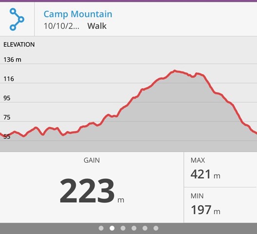
5.2
km
return
90
mins
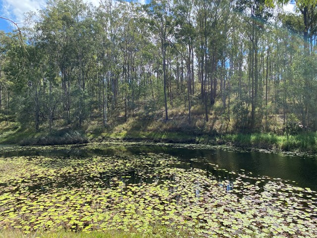
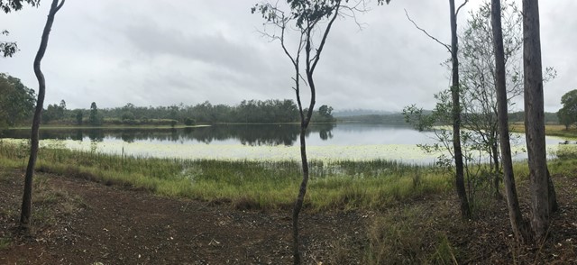
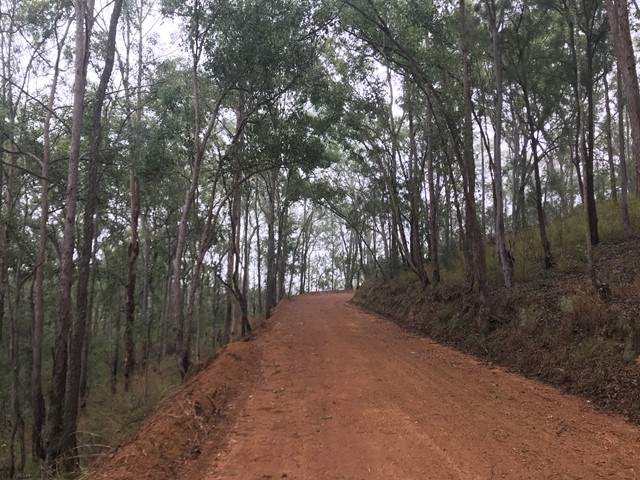
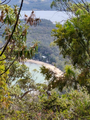
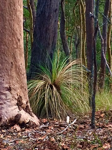
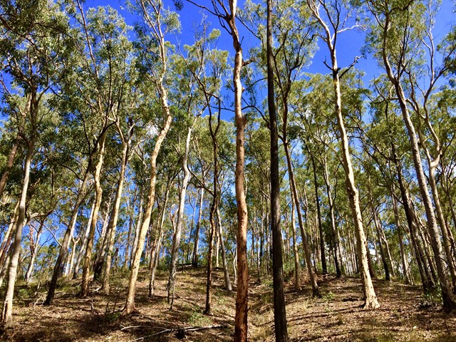
Camp Mountain Lookout
Beautiful walk through eucalypt forest along a well maintained fire trail. We parked at the junction of Suttons Road & Suttons Court, Camp Mountain, parked the car at the horse step through and headed up the hill. It's a steep walk up to the lookout where you will find spectacular views of Brisbane City and Moreton Bay. Wander a little further and you can see the beautiful Samford Valley and Glass House Mountains in the distance. You can also drive into the lookout from Mt Nebo Road.
If you are feeling energetic and want to add an extra hour to your walk, head down the hill towards Bellbird Grove - the trail splits just after the water tank, instead of going left to do the circuit, go straight ahead. Follow the trail and you will come into the back of Bellbird Grove - have a toilet stop, a little rest and then turn around and head back the same way to join back onto the circuit.
 4.3
km
return
2
hrs
4.3
km
return
2
hrs
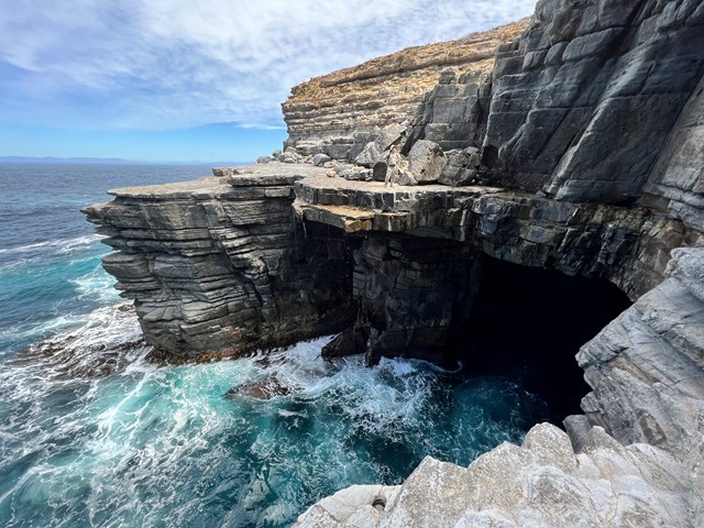
Painted Cliffs/Oast House Circuit
This relaxing coastal walk on Maria Island becomes a stunning one once you reach its destination: the Painted Cliffs.
What these cliffs lack in height they more than make up for with their amazing colours and swirling patterns. The patterns are caused by ground water percolating down through the sandstone and staining the rock. Wave action and sea spray have continued the erosion, resulting in magical honeycomb patterns, potholes and notches.
The cliffs are best approached at lower tide levels, to allow safe access to the rock platform beneath the cliffs. They are especially brilliant towards sunset. Bring your camera!
Relax on Hopground Beach. Swim, snorkel and explore the rockpools of the Maria Island Marine Reserve.
Bicycles may be ridden on the formed road sections but not on beaches or walking tracks.
 500
m
30
mins
500
m
30
mins
Melaleuca Circuit
The Purga Nature Reserve allows visitors to view the largest
protected area of endangered Swamp Tea Tree forest in
Ipswich. These self-guided walks provide visitors a unique
opportunity to explore vegetation and watch wildlife while
only 15 minutes from Ipswich Central.
500
m
return
10
mins
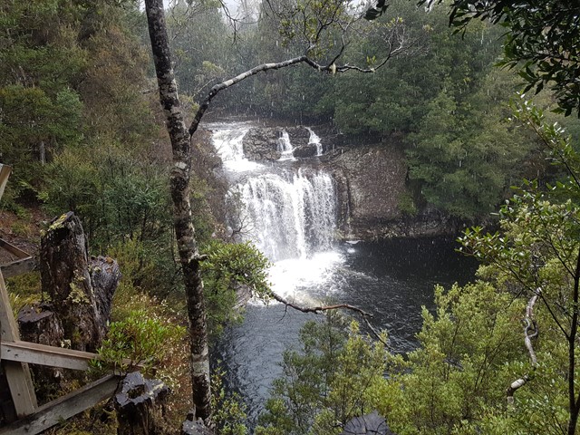
Rainforest Walk
This short wheelchair accessible trail behind the Discovery Centre leads through myrtle rainforest to a viewing platform over Pencil Pine Falls.
 3.6
km
one-way
2
hrs
3.6
km
one-way
2
hrs
Barron Gorge Waterfalls
DRY SEASON ONLY
The walk starts at Barron hydro-electrical station and finishes on top of Barron Falls. It goes over all the waterfalls. Suited for Alpinist and Mountaineers with previous experience only.
 8
km
return
3
hrs
8
km
return
3
hrs
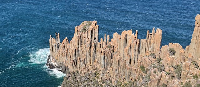
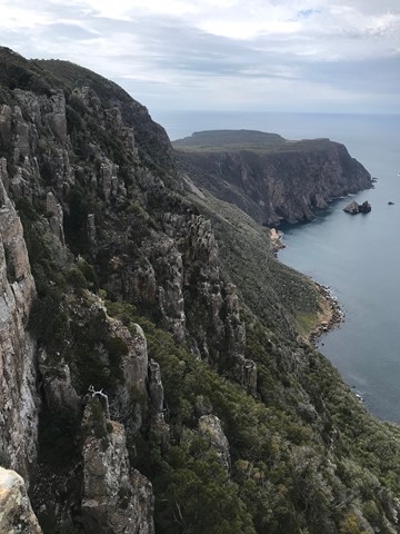
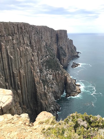
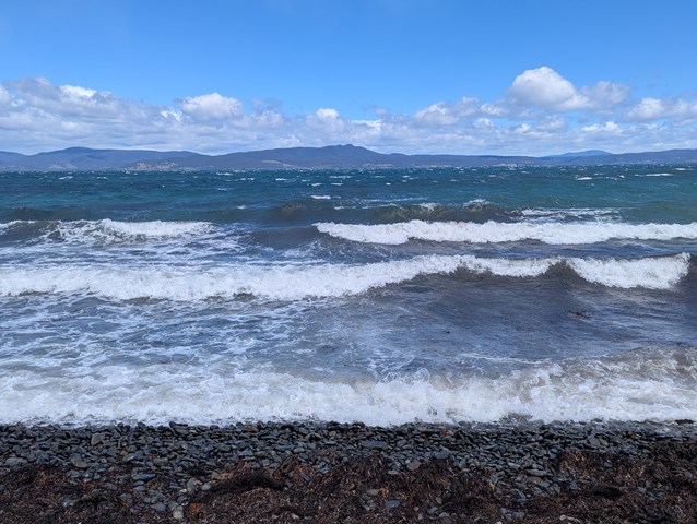
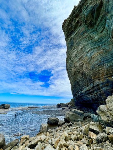
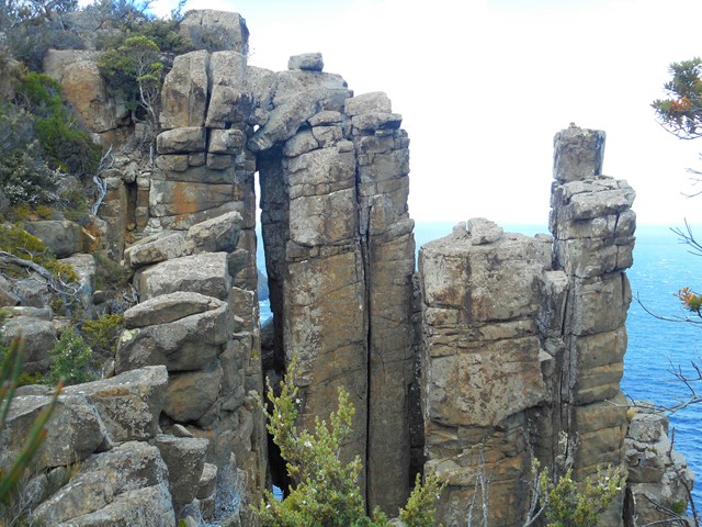
Shipstern Bluff
Shipstern Bluff is known for its big waves. This is a great walk - under 10km - through varying landscapes which takes you right down to the ocean from Cape Raoul.
 48
km
one-way
4
days
48
km
one-way
4
days
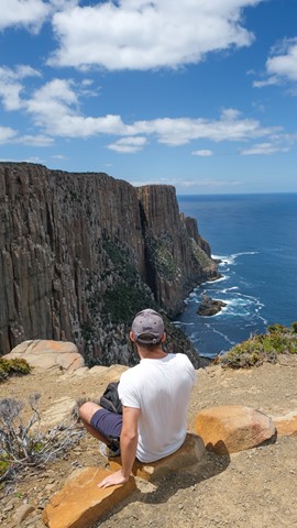
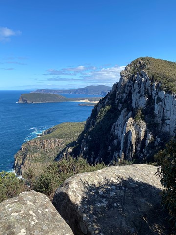
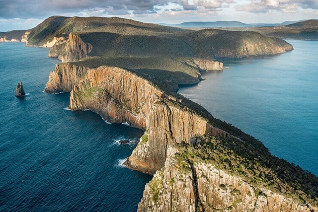
3 Capes Track
You, a pack, and 48 kilometres of cliff-hugging wildness in Australia's far south-east. The next stop is Antarctica. Tasmania's Three Capes Track is not about getting from point A to point B. It’s about the journey. Few places on Earth remain that feel so remote, so raw, so removed from the ordinary.
Tasmania Parks and Wildlife Service’s ambitious track is an artwork rivalled only by the landscape.
World Heritage-listed Port Arthur Historic Site is your start and end point. A purpose-built Pennicott Wilderness Journeys' boat delivers you to the track start. Any migratory whales, dolphins or fur seals are complimentary. Pack light; the overnight stops are equipped with gas cooktops, comfy mattresses and generous dining tables where new friendships may forge.
They say walking can be transformative and this is Tasmania's natural pathway. Four days and three nights on a track so meticulously crafted you’re free to enjoy your experience rather than watching every step. Look up, look out, look within.
Walk side by side up mosaic stone steps and let nature’s drama unfold. Here, your senses will be refreshed and your heart will skip a beat (regularly). Stand on nature’s edge. Hear the silence and be overcome with awe. Move through shadows of tall eucalypt forest and colourful coastal heath. The Tasman Sea is your constant.
 5
km
return
90
mins
5
km
return
90
mins
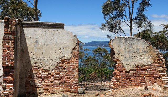
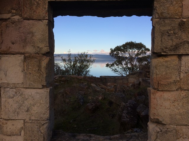
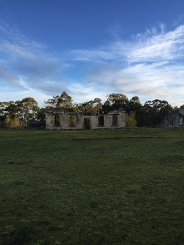
Coal Mines Historic Site
Lesser known than Port Arthur though arguable a more authentic experience and its free. While Port Arthur has been rebuilt quite a bit the coal mines is a more untouched ruin. When we were there we were also the only people.
 12
km
one-way
4
hrs
12
km
one-way
4
hrs
Darlington to Frenchs Farm
Frenchs Farm, one of two campgrounds near the middle of Maria Island, is reached either by taking the Coast Road (via Painted Cliffs) or Inland Track. The Coast Road is the easier (and more scenic) option which follows the coastline, past a number of bays and beaches. The campground is huge with many shaded and private campsite. Water is normally availabe from a water tank.