


 10
10 3
3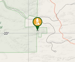
Aussie Bushwalking can keep track of your bushwalks.
Login/signup to tick this walk off.Mt Meharry
Karijini National Park
Menu
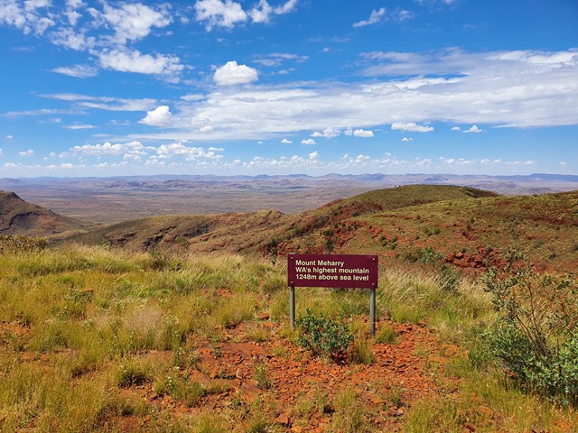
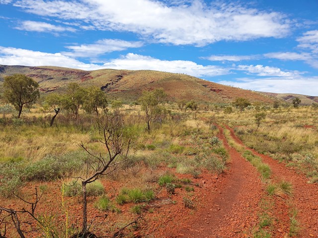
Highest mountain of WA at 1249 m.
You can actually drive to the top but would require a 4WD.
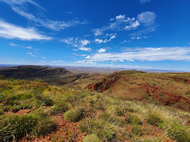
Lookouts
4WD Required
Navigation Required
Getting there
From Newman, WA via Great Northern Highway, Packsaddle & Juna Downs Road.
Dirt roads that get progressively lesser in quality until you start up the ridge.
Choose somewhere to park and walk the road to the top.
Where you stop your vehicle may depend on what vehicle you have.
Maps
Route/Trail notes
Follow the road that takes you to the top.
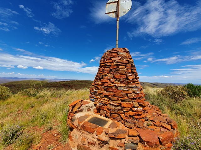
There is a large cairn on the top with some history.
Permits/Costs
Flights, 4WD, a courtesy call to the road owners.
It is in Karijini National Park therefore you should probably pay the entry fee.
Nowhere there to do that at Meharry, go visit the gorges while you are there and contribute your fee then.
Other References
GPS Tracks
- No GPS available for this walk yet.
Comments