
Menu
Popular Walks
-
Wineglass Bay
(86 ticks) -
Mount Amos
(55 ticks) -
Wineglass Bay/Hazards Beach Circuit
(40 ticks) -
Cape Tourville Circuit
(11 ticks) -
Freycinet Circuit
(6 ticks)
Parent Regions
Popular Walks
-
Wineglass Bay
(86 ticks) -
Mount Amos
(55 ticks) -
Wineglass Bay/Hazards Beach Circuit
(40 ticks) -
Cape Tourville Circuit
(11 ticks) -
Freycinet Circuit
(6 ticks)
Parent Regions
History
Any interesting history for the region?
Features
What are the standout bushwalking features?
Access
How do you get there? Include all access points if there are many?
Maps
Which maps cover the region?
Accommodation
Where can I stay there? or near there?
Camping
Other
Contact details
https://parks.tas.gov.au/explore-our-parks/freycinet-national-park
Walks in Freycinet National Park

 600
m
return
600
m
return
 20
mins
20
mins
Cape Tourville Circuit
Headland walk with expansive ocean views, Freycinet coastline and Cape Tourville lighthouse.
 40
km
return
3
days
40
km
return
3
days
Freycinet Circuit
A rewarding 2-3 day hike that combines picturesque bays, turquoise water and majestic views of the Tasmanian coast.
4
km
return
3
hrs
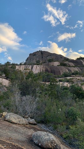
Mount Amos
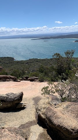
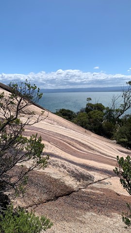
Mount Amos is a brilliant challenge set in the stunning Freycinet National Park. You'll have to have a good head for heights, have shoes with good grip & be willing to scramble the whole way up & down again. Despite the difficulty, the reward is spectacular at the top with unmatched views of Wineglass Bay & surrounds. An exceptional climb! Don't forget to stop & enjoy the view.

 1.4
km
return
40
mins
1.4
km
return
40
mins
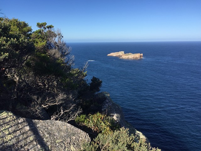
Whitewater Wall Access Tracks
Short walks from camp out to the sea cliffs rock climbers use.
6.6
km
return
3
hrs
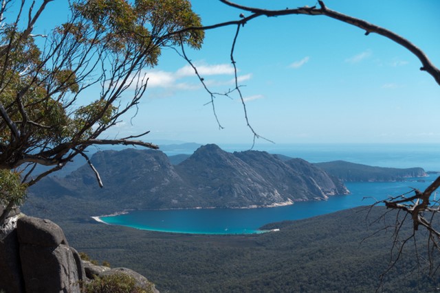
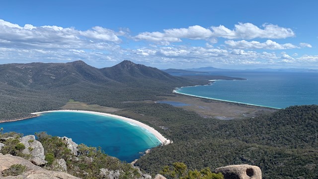
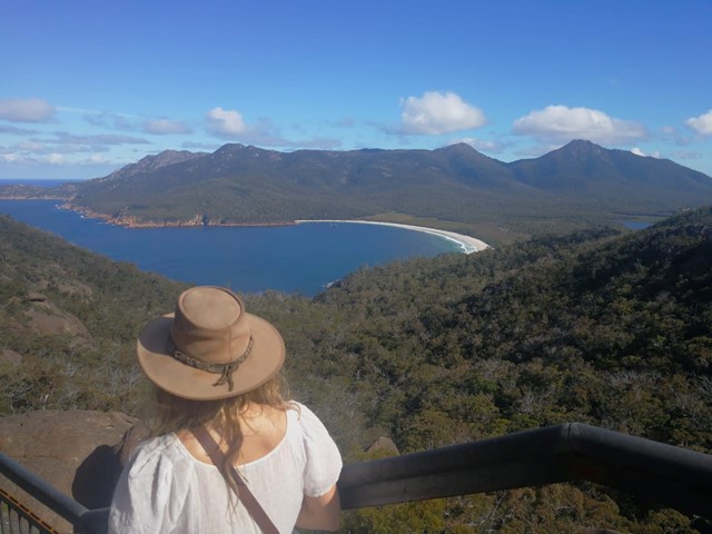
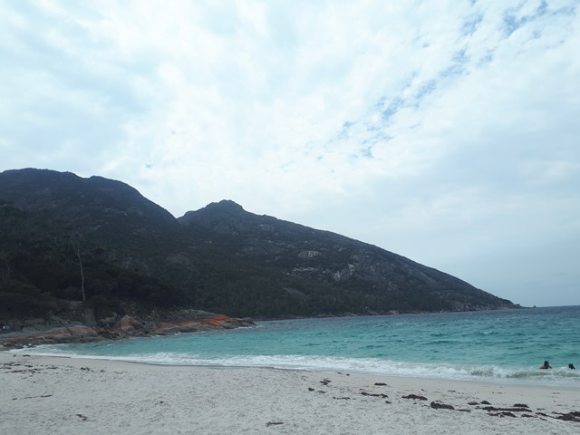
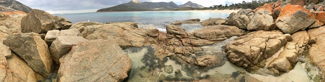
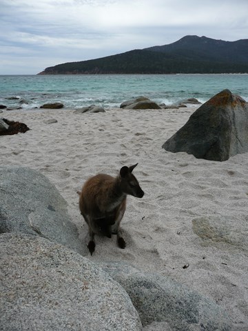
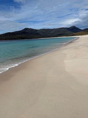
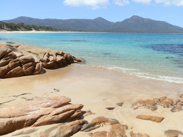
Wineglass Bay
This walk provides spectacular views of Wineglass and other bays on the peninsular from the half way point lookout on the ridge between Mt Amos and Mt Mayson, before descending to the white quartz sands of Wineglass Bay.
 3.1
km
return
90
mins
3.1
km
return
90
mins
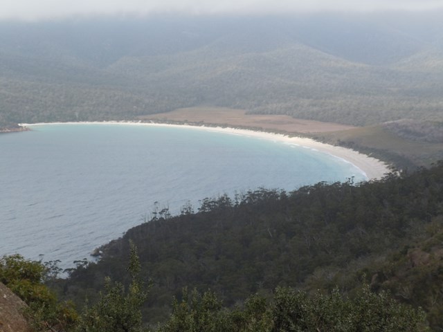
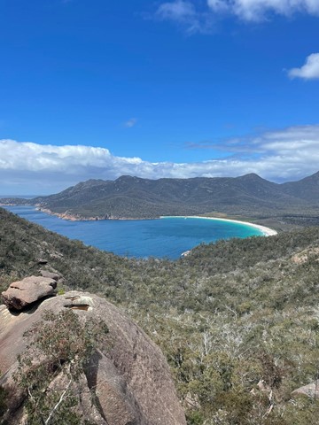
Wineglass Bay Lookout
A short walk to the famous lookout view over wineglass bay.
11.5
km
return
4
hrs
Wineglass Bay/Hazards Beach Circuit
A walk to Wineglass Bay and then across the isthmus to Hazards Beach, and around Mt Mayson to return to the carpark.