
Menu
Suggested searches
Your search found 2418 results...

 4.2
km
return
4.2
km
return
 2
hrs
2
hrs
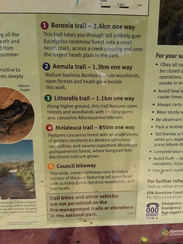
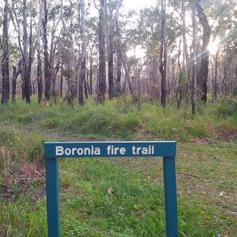
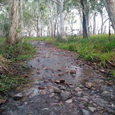
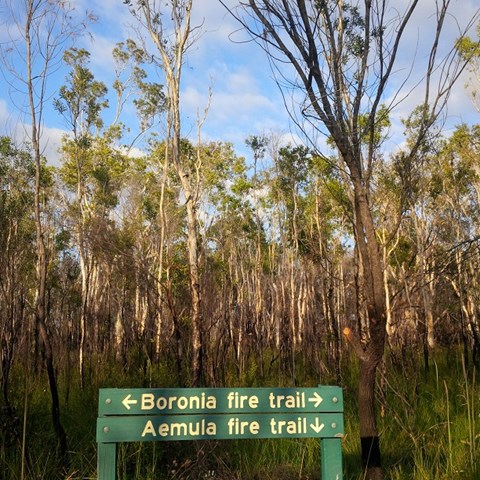
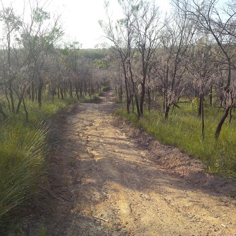
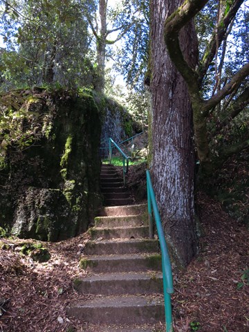
Boronia Trail
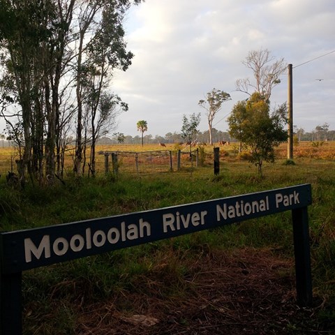
Mooloolah River National Park
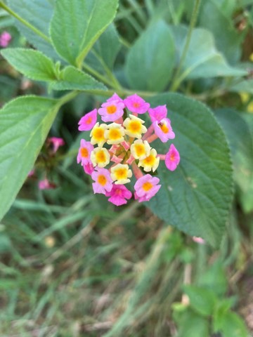
Did the full circurt , some bog holes to navigate not hard. Nice and close to home. Good bird life and some nice wild flowers out on show.
 2.6
km
return
90
mins
2.6
km
return
90
mins
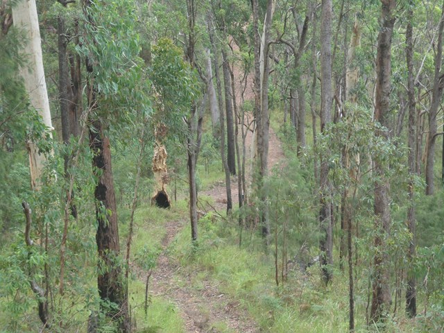
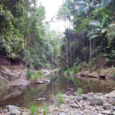
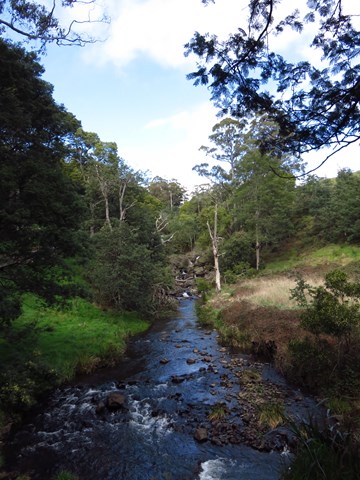
Aemula Trail
Mooloolah River National Park
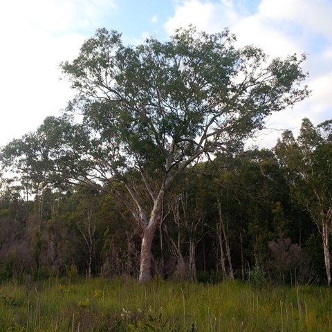
Adjoining the Mooloolah River, the Mooloolah River National Park protects valuable remnants of coastal lowland habitat, rainforest, open eucalypt woodlands, melaleuca forests, wallum banksia woodlands, scribbly gum open forests, wallum heath and sedgelands.
 2.7
km
return
1
hr
2.7
km
return
1
hr
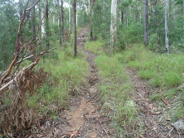
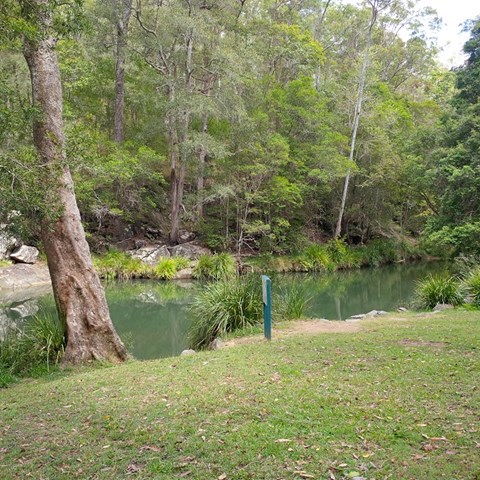
Littoralis Trail
Mooloolah River National Park
Adjoining the Mooloolah River, the Mooloolah River National Park protects valuable remnants of coastal lowland habitat, rainforest, open eucalypt woodlands, melaleuca forests, wallum banksia woodlands, scribbly gum open forests, wallum heath and sedgelands.
 4
km
return
78
mins
4
km
return
78
mins
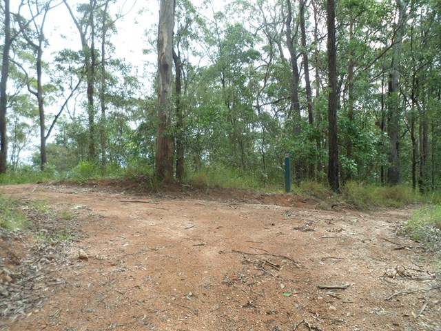
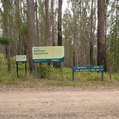
Beacon View Walk
Bellthorpe National Park
This rugged national park features open eucalypt forest, rainforest and cascades along picturesque Stony Creek. Remnants of Brandon’s Timber Sawmill can still be seen on West Bellthorpe Road. Branch Creek Road offers a moderately challenging and picturesque 4WD opportunity as it winds up through the middle of the park.
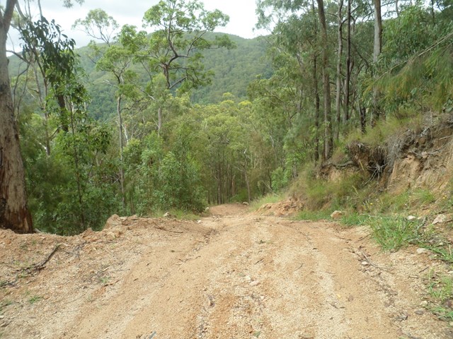
Although this is predominantly a 4wd and horse riding park , there’s nothing stopping you parking your car at a gate or side of road and walk to the destinations.
 600
m
return
30
mins
600
m
return
30
mins
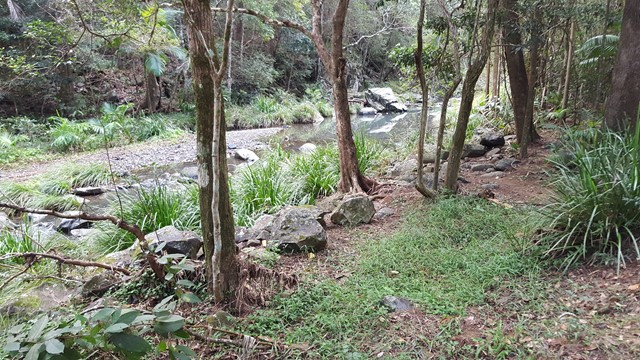
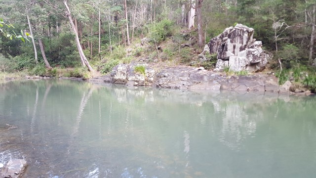
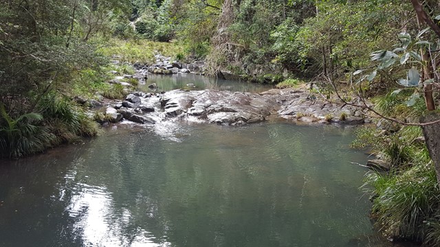
Stony Creek
Bellthorpe National Park
The rugged Bellthorpe National Park features open eucalypt forest, rainforest and cascades along picturesque Stony Creek. An easy stroll along the creek to the lake and a beautiful place to stop and picnic.
 1.5
km
return
45
mins
1.5
km
return
45
mins
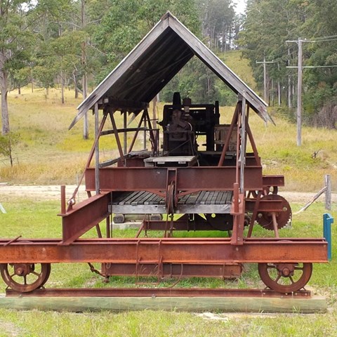
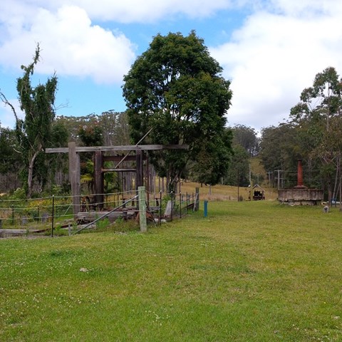
Brandson Saw Mill
Bellthorpe National Park
This rugged national park features open eucalypt forest, rainforest and cascades along picturesque Stony Creek. Remnants of Brandon’s Timber Sawmill can still be seen on West Bellthorpe Road. Branch Creek Road offers a moderately challenging and picturesque 4WD opportunity as it winds up through the middle of the park.
Although this is predominantly a 4wd and horse riding park , there’s nothing stopping you parking your car at a gate or side of road and walk to the destinations.
 6.2
km
return
2.5
hrs
6.2
km
return
2.5
hrs
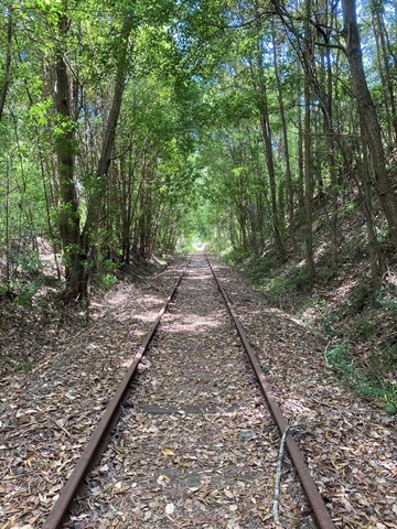
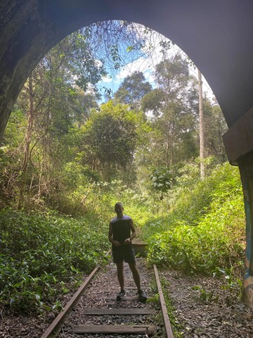
Burringbar Range Tunnel
New South Wales
A nice easy walk along the old abandoned Murwillumbah to Casino railway line (1894 to 2004) from Stokers Siding to the biggest tunnel (524m) on that line, with plenty of glow worms and some micro bats.
This section of the track is now contained within the Northern Rivers Rail Trail - Tweed Section (2023).
 700
m
return
20
mins
700
m
return
20
mins
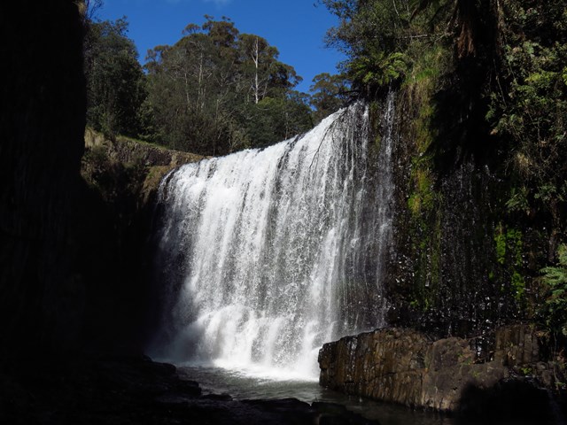
Guide Falls
Tasmania
This is a popular picnic area just south of Burnie, near Ridgley. An easy walking track to the base of the two-tiered falls is a few hundred metres upstream. The road continues to the top of the falls and an accessible viewing platform. A walking track leads you through the thick undergrowth of the riverside, down to a grassed area at the bottom. There are barbecues with picnic tables at both the top and bottom of the falls; a beautiful place to spend the day in summer.
 5.7
km
return
2
hrs
5.7
km
return
2
hrs
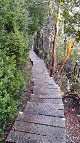
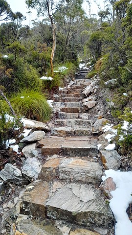
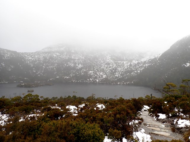
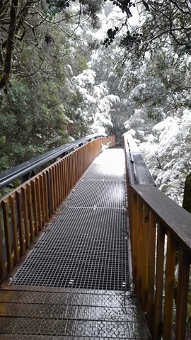
Dove Lake Circuit
Cradle Mountain-Lake St Clair National Park
This 6km track is one of Tasmania’s premier walks. It will take you right around Dove Lake and beneath the towering spires of Cradle Mountain. The track is boardwalked for much of the way. Highlights: Glacier Rock, Ballroom Forest and the Boatshed.
 1.1
km
one-way
30
mins
1.1
km
one-way
30
mins
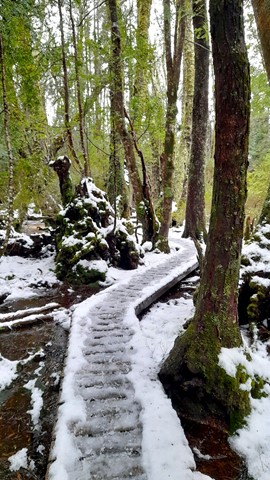
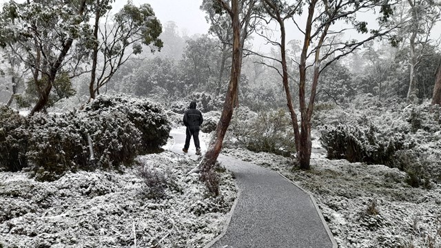
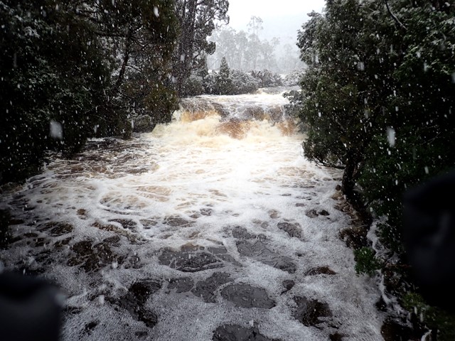
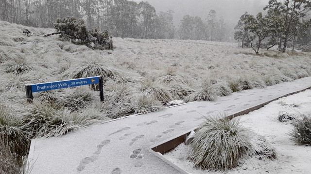
Enchanted Walk
Cradle Mountain-Lake St Clair National Park
A walk to suit all age groups. For company there’s a cascading river, wombat burrows and magical old-growth rainforest. The walk will take you through buttongrass moorland before entering cool temperate rainforest along the edges of Pencil Pine Creek. Along the track are three interpretive tunnels that kids and kids at heart will find fun to crawl through!