
Menu
Suggested searches
Your search found 2418 results...

 1.2
km
return
1.2
km
return
 45
mins
45
mins
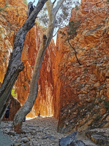
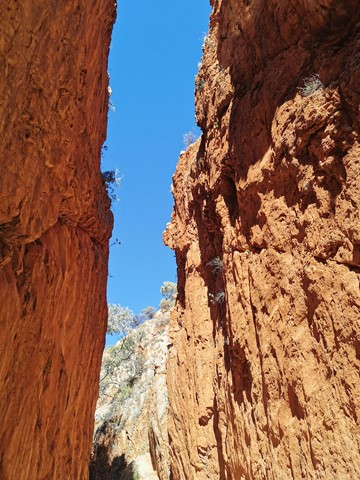
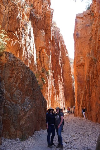
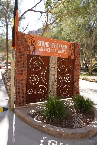
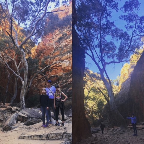
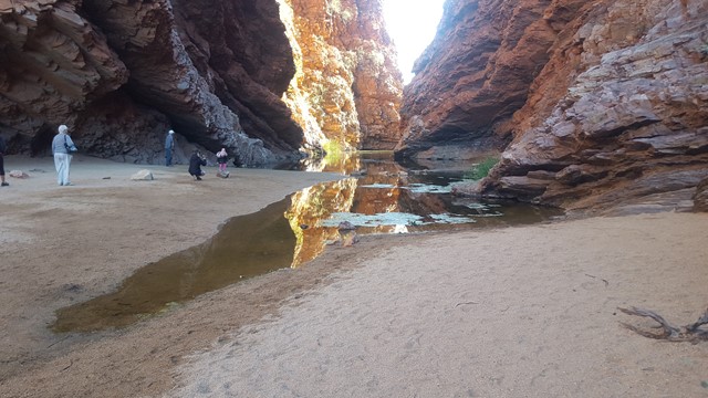
Standley Chasm
West MacDonnell National Park
Although the track is rough in parts, most active visitors will find the 20 minute one-way walk to be quite easy. However, the conditions require that sensible walking shoes be worn.
 1
km
return
30
mins
1
km
return
30
mins
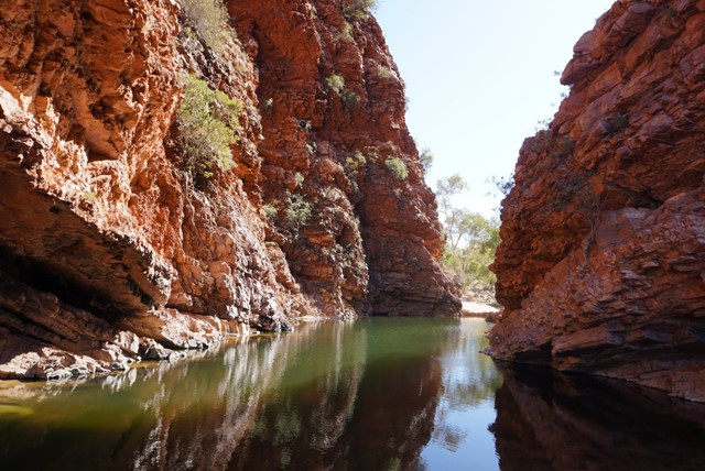
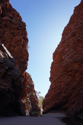
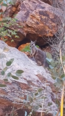
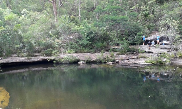
Simpsons Gap
West MacDonnell National Park
A number of scenic gaps pierce the West MacDonnell Ranges, one of which is Simpsons Gap; site of one of the most prominent waterholes in the region. The area is an important spiritual site to the Aranda Aboriginal people, where several dreaming trails and stories cross. At dawn or dusk Simpsons Gap is renowned as a place to see Black-footed Rock-wallabies along the gap's short walking track. Good examples of many of the vegetation communities of the MacDonnell Ranges are found in the Simpsons Gap area, including large stands of Mulga, and the area around the gap is a major stronghold for some of the rare and relic plants of the region.
 1
km
return
15
mins
1
km
return
15
mins
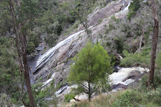
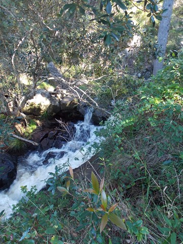
Undercliffe Falls
New South Wales
Undercliffe Falls is a waterfall located on the Bookookoorara Creek in northeast New South Wales.
Undercliffe Falls is estimated between 140m and 160m high. This estimate is based on analysis of the topographic profile around the waterfall and may not be an accurate figure for the total fall of water seen if viewing the falls.
The nearest populated town of Stanthorpe, with shops, wineries, accommodation etc etc is 23km away, via Amosfield Road. The nearest sealed road to Undercliffe Falls is the Mount Lindesay Highway (7.59km away). The turnoff, to Rivertree Road is located in the small village of Liston. The entrance to Undercliffe Falls is from Rivertree Rd and is signposted. You travel through farmland. Camping & coffee etc is available at Aloomba Lavender on the northern side of Liston. Liston has holiday accommodation and Liston hall (with bar) is often open on Fridays and some public holidays.
Care should be taken near the top of the waterfall, as a fall would be easy.
Mobile phone reception is patchy. Telstra is best so far. A public phone is available in Liston.
Public toilets are also in Liston (cleaned by local volunteers).
 3
km
return
1
hr
3
km
return
1
hr
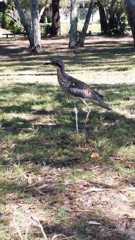
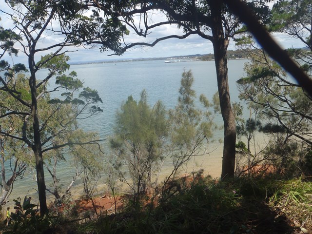
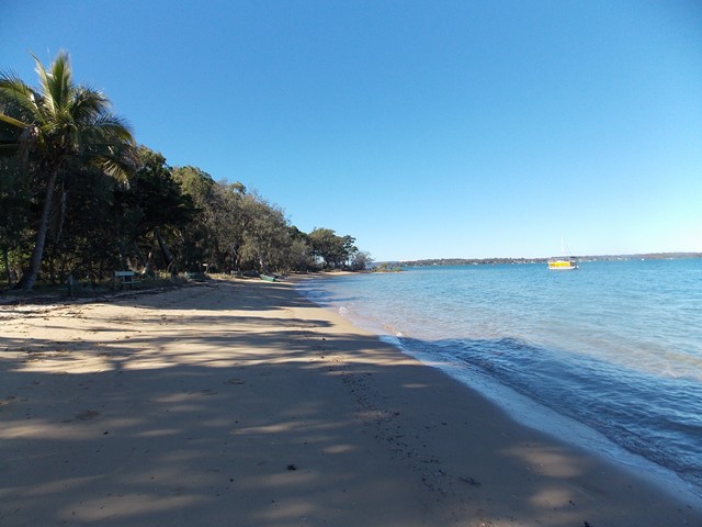
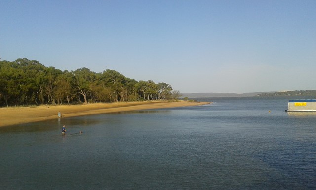
Melaleuca Wetland Reserve Walk (Coochiemudlo Island)
South East Queensland
This walk takes you around half Coochiemudlo Island anti-clockwise. Relaxed atmosphere with beach views, half way through the walk will take you through the reserve where you can easily spot some Bush Stone-curlews.
 20
km
return
7
hrs
20
km
return
7
hrs
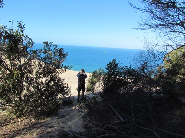
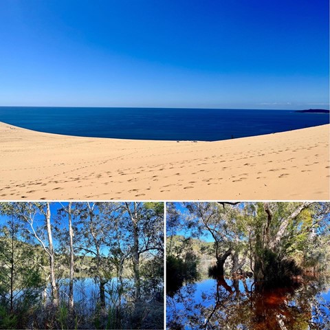
Carlo Sand Blow to Poona Lake
Great Sandy National Park
This walk is part of the Cooloola Great Walk. Starting from the Carlo Sand Blow car park at Rainbow Beach, its a short 10 min walk to the Carlo Sand Blow. From there cross the sand blow to the other side and continue along the track. It is well sign posted. At the 5km mark the track parts into 2. Follow the path to Poona lake which is another 5km. This track is a much smaller track, but is well defined. Take a swim and have lunch at the lake and then return via the same way.
 11
km
one-way
3.5
hrs
11
km
one-way
3.5
hrs
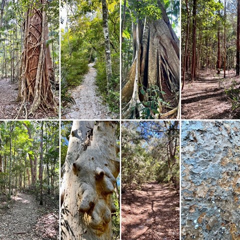
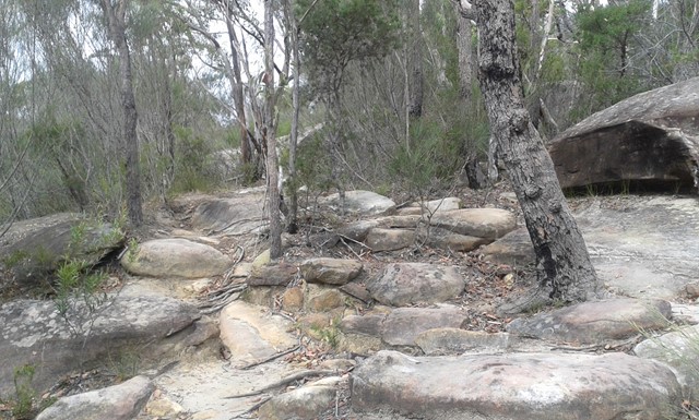
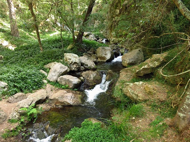
Uloola Track
Royal National Park
Starting and ending at railway stations, this walk ventures into central Royal National Park along a well maintained bush track. The walk goes via a beautiful set of waterholes and rock flats at Karloo Pools. The walk continues to the peaceful campsite at Uloola Falls and then along a service trail, to Waterfall Railway Station.
 1
km
return
30
mins
1
km
return
30
mins
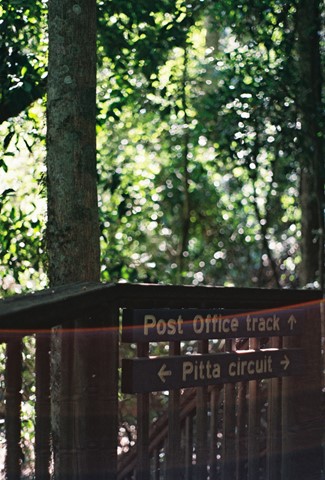
Pitta Circuit
Brisbane Forest park D'Aguilar National Park
Lovely walk through a Eucalyptus forest before entering a lovely cool rainforest. The track winds around onto a boardwalk which totally surrounds a strangler fig where the host has totally rotted away. A number of educational signs give some great information for the younger members of the family.
 7.1
km
return
2
hrs
7.1
km
return
2
hrs
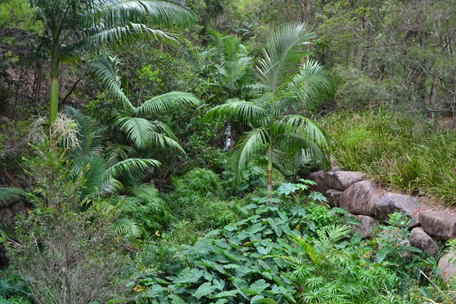
Chermside Hills, Raven St Reserve, and Milne Hill Circuit
South East Queensland
A surprisingly diverse walk in the heart of the 'burbs' with the ability to totally lose oneself from the hectic pace of modern life, the sounds of traffic, the visual pollution of human settlement. On the two times I have done this walk I have come across a mob of wallabies in different sections of the walk.
 700
m
return
30
mins
700
m
return
30
mins
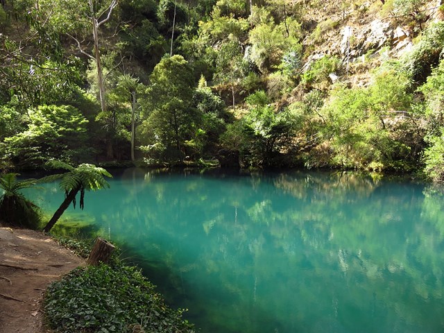
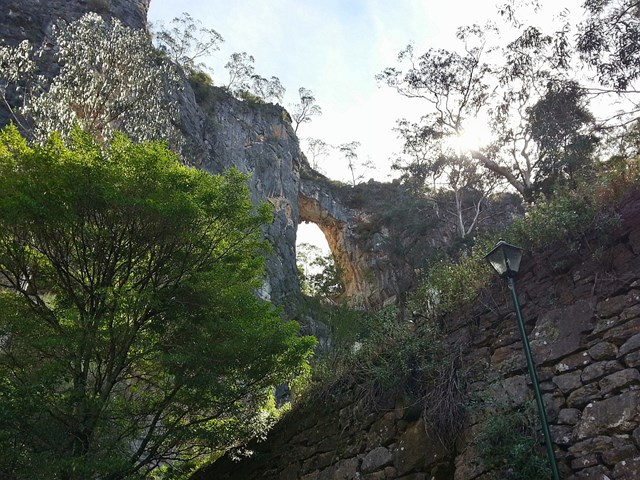
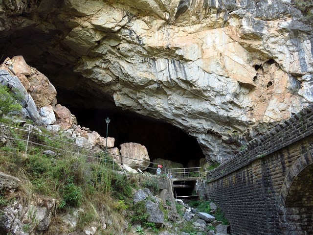
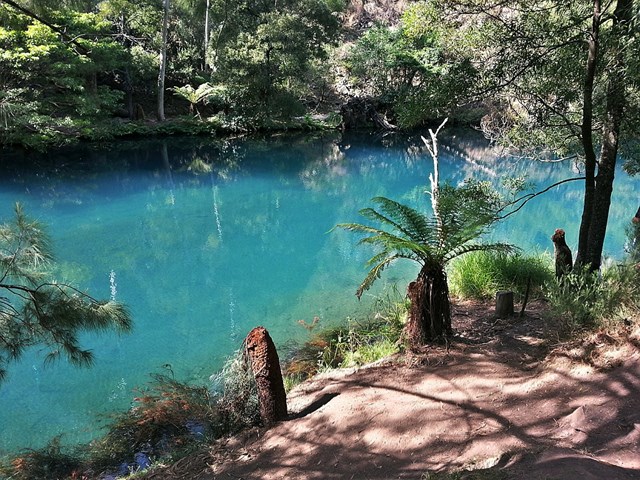
Blue Lake River Walk
New South Wales
From the Grand Arch walk alongside the Blue Lake, where you might see a platypus! Beyond the reservoir wall a bridge takes you across the rive and back along the other side of the lake under the 1896 De Burghs bridge then back to the Grand Arch.
 500
m
return
15
mins
500
m
return
15
mins
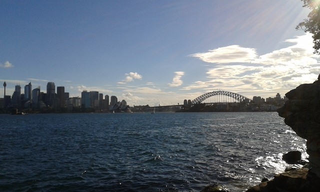
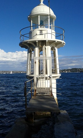
Robertsons Point Lookout
Greater Sydney
A short walk but a fun time. Catch a ferry to Cremorne Point and grab a bight to eat before climbing the steps and having a play in the kids playground. Then wander along the footpath to the lookout at the end of Cremorne Point, know as Robertsons Point. The view across Sydney Harbour is great. There are also a few picnic tables to enjoy. Beyond this walk, the more adventurous can climb down the steps and ladder to the rock platform below.