
Mt Boulder Round Trip
Woondum National Park


Menu
The first part of the trail takes you up Boulder mountain at 496m above sea-level with the last section being steep and slippery when wet so judge your level of fitness and also how safe the conditions are on the day.
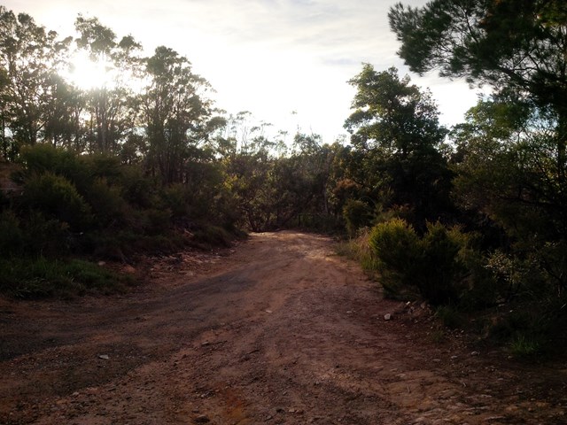
Once you reach the top follow the access trail (for the communication towers) past the warning sign saying it is 10km back to the rock pools down the other side of the mountain.
You will hit a T section in the road, simply take the right (should be signed) back to your starting point.
Notes:
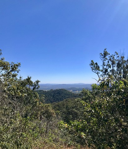
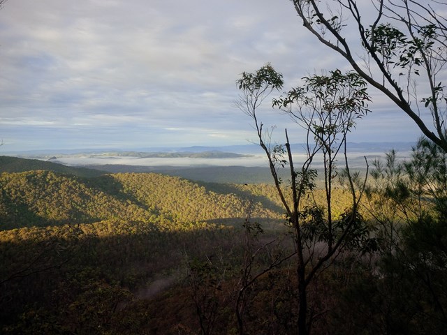
The view is NOT spectacular from the top of the mountain but if you look you can find some views.
Once you turn right at the intersection be careful of possible 4x4 traffic especially on the weekends.
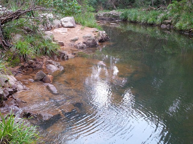
If the conditions are right the Rock pools are a great way to cool off after the walk!

Getting there:
Take the Old Noosa Road south of Gympie (next to Bunnings) out about 10k and turn left into Hill Road, signposted to Mothar Mountain Rock Pools Car Park and Picnic Area. This is also the start of the Boulder Mountain walks.
Maps:
Route/Trail notes:
None provided.
Permits/Costs:
None.
Other References/Comments:
Walking poles are recommended, take plenty of water and have a cooling dip in the Rock Pools at the bottom.
GPS Tracks
- No GPS available for this walk yet.
 12
12 4
4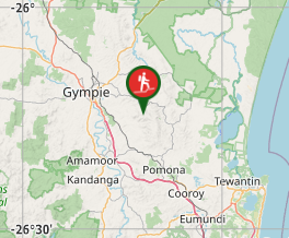
Comments