
Menu
Popular Walks
-
Mount Coolum
(856 ticks) -
Mt Cooroora
(483 ticks) -
Mt Ninderry
(320 ticks) -
Hell's Gates
(222 ticks) -
Buderim Forest Park
(203 ticks)
Parent Regions
Sub-Regions
Popular Walks
-
Mount Coolum
(856 ticks) -
Mt Cooroora
(483 ticks) -
Mt Ninderry
(320 ticks) -
Hell's Gates
(222 ticks) -
Buderim Forest Park
(203 ticks)
Parent Regions
Sub-Regions
History
Any interesting history for the region?
Features
What are the standout bushwalking features?
Access
How do you get there? Include all access points if there are many?
Maps
Which maps cover the region?
Accommodation
Where can I stay there? or near there?
Camping
Other
Contact details
Contact details for National Park offices or similar...
Walks in Sunshine Coast

 6
km
return
6
km
return
 3
hrs
3
hrs
Buckby Road, Belli Park
From the Kenilworth Eumundi Road turn left into Buckby Road just before Murray’s crossing. Park your car on the gravel at the bottom and walk along the gravel road to the Microwave tower. According to the gps it’s 6kms there and back. Beware this road is used by vehicles. Beautiful scenery.
2
km
return
1
hr
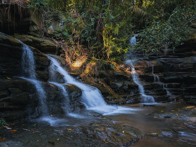
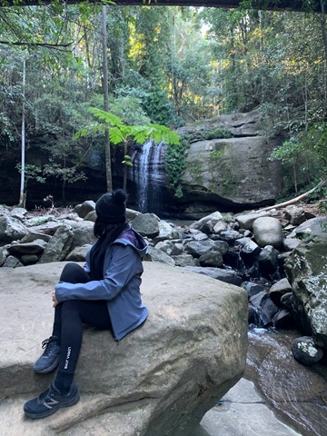
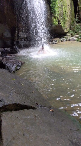
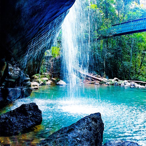
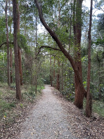
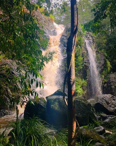
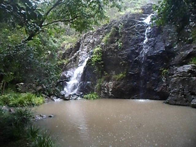
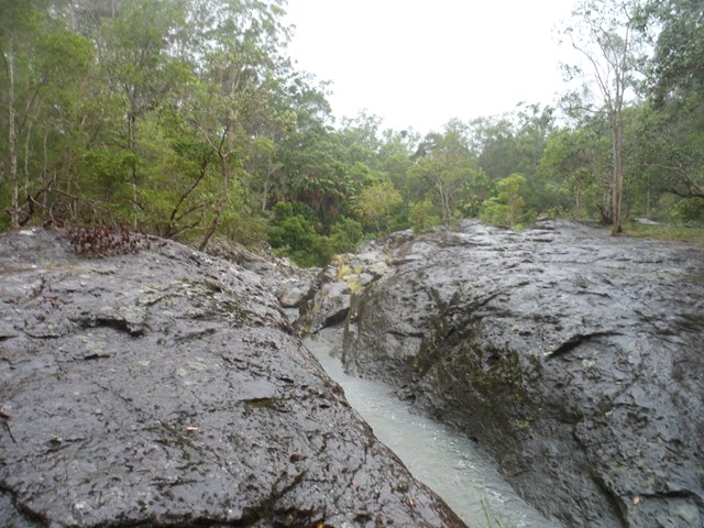
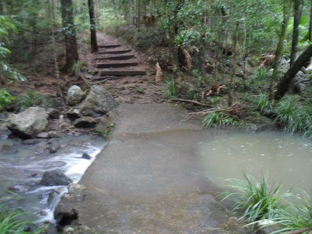
Buderim Forest Park
This is a 45 hectare secluded oasis, hidden on the northern side of Buderim, less than a kilometre from the Buderim Village. This is a rainforest world of tall trees, ferns, babbling waterfalls, cascades and bird calls.
The area was purchased many years ago by the Council as a reserve for all of Buderim.
Amazingly much of the creek actually belongs to private land owners as once did the waterfall! The falls were a favourite recreational place for the region’s indigenous people and have been unofficially named “Serenity Falls”, but are widely known as the Buderim Falls.
 4.3
km
return
90
mins
4.3
km
return
90
mins
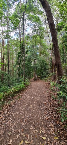
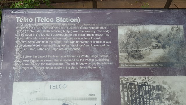
Buderim Tramway Track
Take a walk back in time as you follow the track of the old Buderim to Palmwoods Tramway, with various information points along the way. It will transport your mind back to a time where this active rail connection was the spine of a growing community. At the same time, the setting is beautiful with a natural environment that boasts towering trees, small mosses, and fern gullies.
 8.5
km
return
2
hrs
8.5
km
return
2
hrs
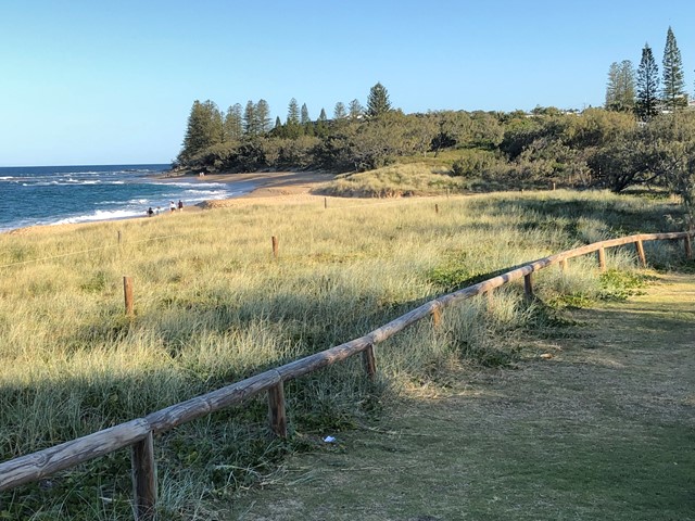
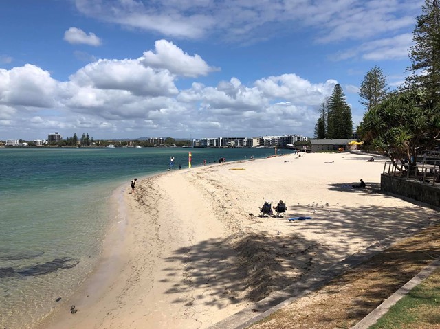
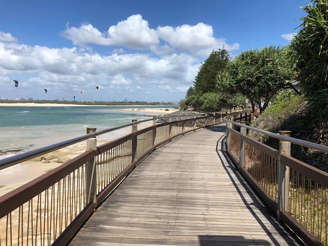
Bulcock Beach to Moffat Beach (SCCP 3)
Enjoy a challenging part of the Sunshine Coast Coastal Pathway, as it winds above cliffs and round Caloundra Head, with fantastic views of the Glass House Mountains, Bribie and Moreton Islands to the south and to the north the beach all the way to Point Cartwright, with Mount Coolum in the distance.
 500
m
30
mins
500
m
30
mins
Cilento Park
A small area of bushland in suburbia, near the hospital - very popular in summer for the lovely swimming hole at the bottom of the waterfall which is part of Tuckers Creek. Picnic tables and BBQs available. The trail is a short loop with the watrrhole at the bottom. Take care of children at the top of the falls - the area is not cordoned off.
 3.1
km
return
1
hr
3.1
km
return
1
hr
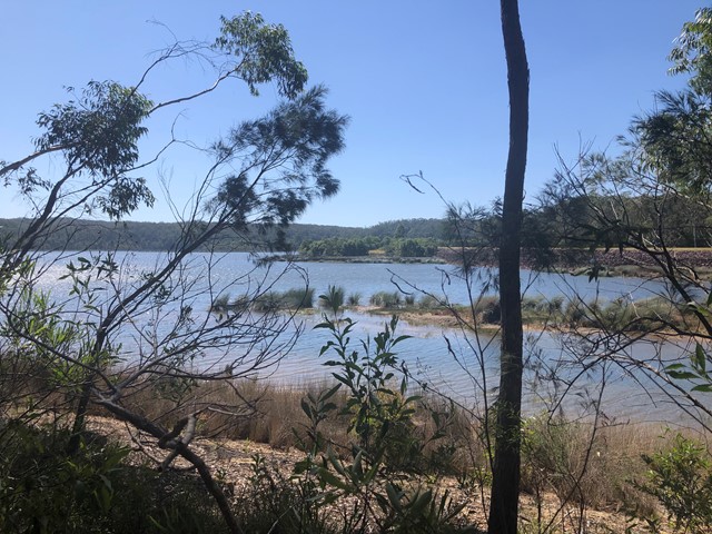
Cooloolabin Dam
A very peaceful easy walk around one side of Cooloolabin Dam, with great views. Lots of bird life and visitors are allowed to fish from the banks.
 12.9
km
return
4
hrs
12.9
km
return
4
hrs
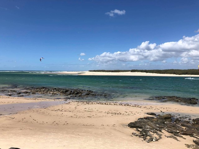
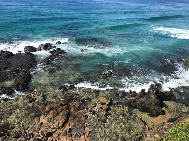
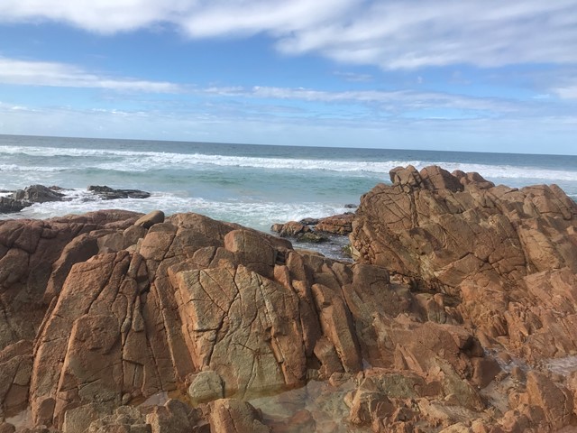
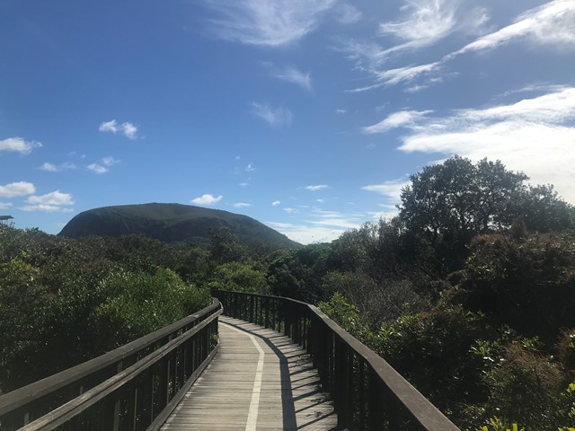
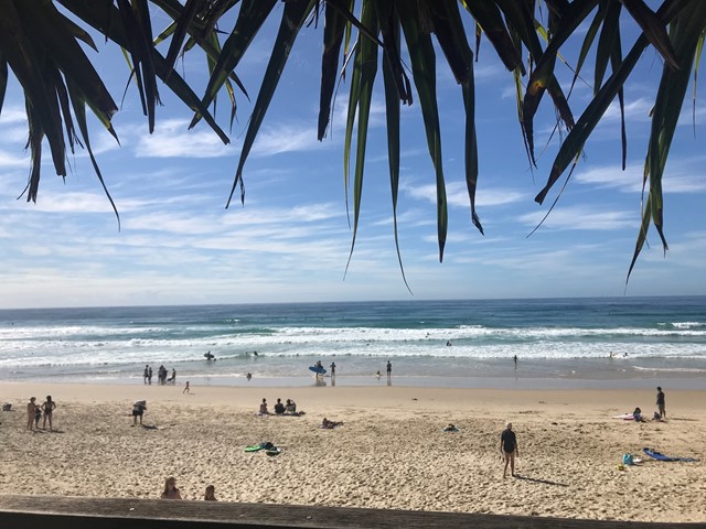
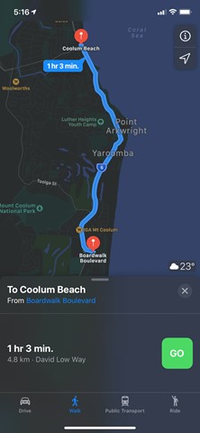
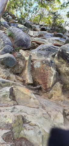
Coolum Beach to Mount Coolum
Walk from Coolum Beach to Mount Coolum boardwalk along footpath there and back along the beach with some rock hopping involved along the beautiful beaches.
 18
km
return
4
hrs
18
km
return
4
hrs
Cooroora Trail
Trail 5 of the Noosa Network Trail, this trail provides some wonderful viewing of Mt Cooroora and Mt Cooran and is largely located through Tuchekoi National Park as your route takes you from Pomona to Cooran.
 7.2
km
return
2
hrs
7.2
km
return
2
hrs
Currimundi Lake to Bokarina (SCCP 5)
A deviation from the official SCCP, that takes you across Currimundi Lake exit to the sea and up through the coastal health of the Conservation Park before rejoining the pathway up to Bokarina.
 8.1
km
return
2.5
hrs
8.1
km
return
2.5
hrs
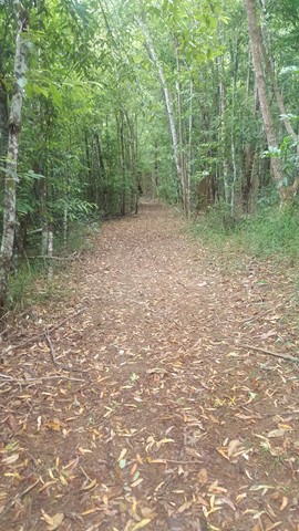
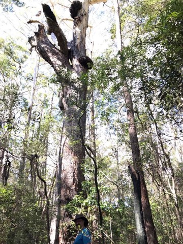
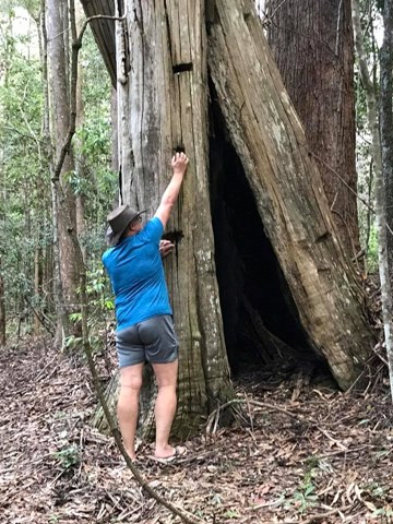
Dularcha NP - Roses Circuit
This multi-use recreation trail passes through dry sclerophyll forest and rainforest gullies and includes some views south to the Glass House Mountains from the top of the ridge (206m). Eucalypt forests and riparian areas with flooded gums, cabbage tree palms and rainforest plants feature here and provide habitats for a diversity of wildlife. Birdwatchers will enjoy the diversity of birds along the trail early and late in the day. Definitely take a copy of the map or a GPX file on GPS as lots of crossing tracks which can be confusing