
Mt Widgee
Wide Bay Burnett


Menu
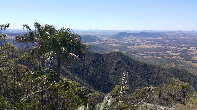
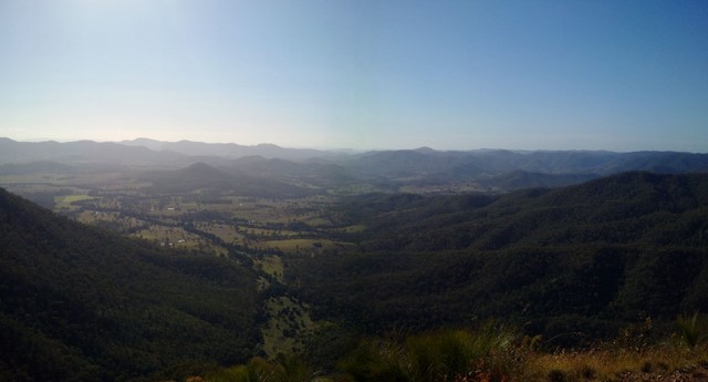

Nice relatively easy ,if you're fit ;-) , up to Mt Widgee to enjoy awesome views across Wratten Forrest.

Getting there
From Widgee town turn into Upper Widgee Rd ( gravel , 2WD accessable ) follow this till you hit the intersection with Quandong Rd. This road turns into 4WD mode and is really for 4WD only ! Keep going for a few kilometers till you hit a turn that has a track on the right. Park car here!
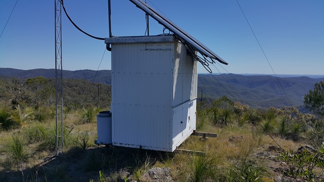
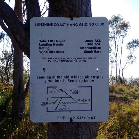
Follow that track which is a narrow 4WD track with some steep sections and rocky ground. About 4km in you will come across a hanglider launch site. From there it's another 1k to the end of the road, bit overgrown and a steep section just at the end. Top is covered with grass trees , there's a weather station and awesome views across the local area.
Maps
Set GPS for Quandong Rd in Widgee , it'll get you there easy
Route/Trail notes
As per above
Permits/Costs
Free
Other References
The hangliding webiste makes a reference to Mt Widgee yet does not provided much other info and ignore their locked gate comment. Gate is open and does not seem to function anymore.
GPS Tracks
- No GPS available for this walk yet.
 10
10 2
2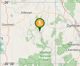
Comments