
Menu
Popular Walks
-
Mt Maroon
(513 ticks) -
Lower Portals
(333 ticks) -
Mt Barney - East Peak - Up South-East - Down South
(150 ticks) -
Mount May
(124 ticks) -
Mt Barney - East Peak - South Ridge
(92 ticks)
Summary
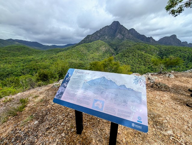
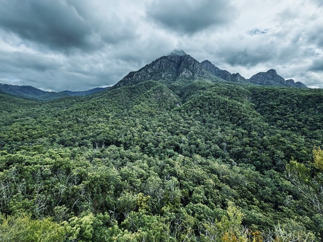
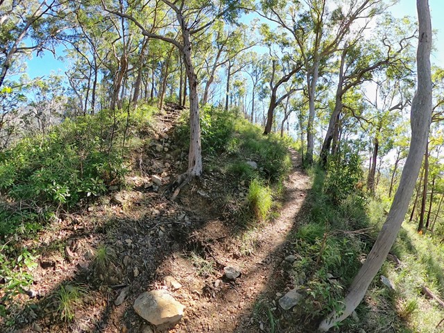
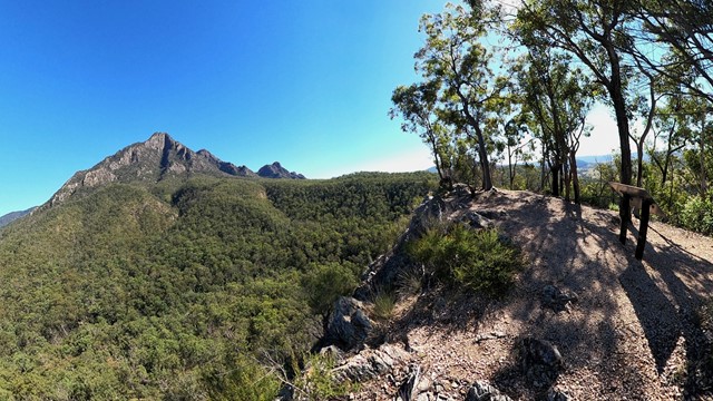
Mt Barney with it's two peaks (Mount Barney East at 1,351m and Mount Barney West at 1,354m) is the highest peak in Mount Barney National Park, and one of the most popular bushwalks in South-East Queensland. Other peaks in Mount Barney National Park include Mount Maroon (967m), Mt May (836m), Mt Clunie (1155m). Many of the walks in the park are rated "hard" and require some experience and route-finding skills.
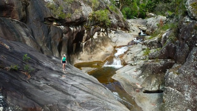
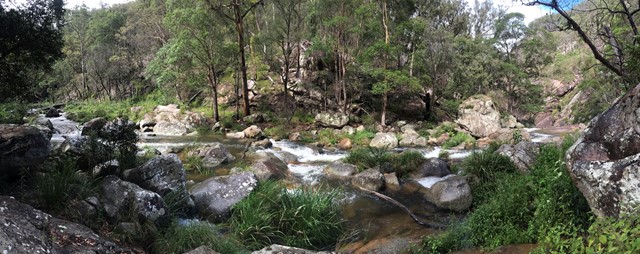
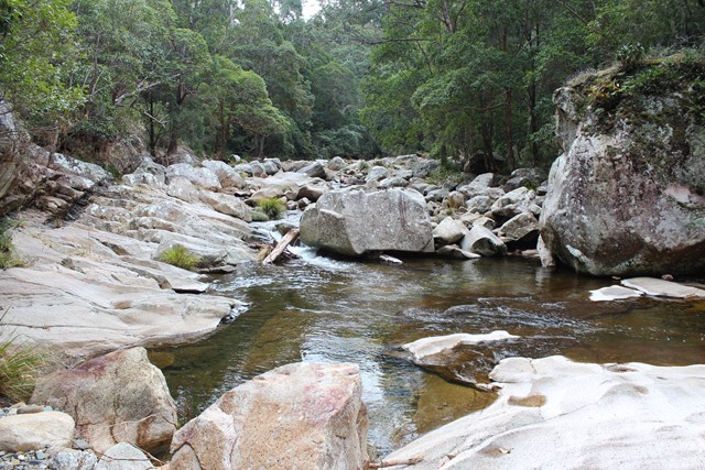
The Lower and Upper Portals are also popular day-walks.
Popular Walks
-
Mt Maroon
(513 ticks) -
Lower Portals
(333 ticks) -
Mt Barney - East Peak - Up South-East - Down South
(150 ticks) -
Mount May
(124 ticks) -
Mt Barney - East Peak - South Ridge
(92 ticks)
Features
What are the standout bushwalking features?
Access
No public access. Car access via Rathdowney. Multiple Mount Barney summit routes start at Yellowpinch carpark.
Maps
1:25K Mt Lindesay topographical map
Accommodation
Mount Barney Lodge Country Retreat is close to the Park. There are multiple camping spots, both car-accessible and more remote sites (booking required and fee applies)
Camping
Camp sites must be booked and a small fee applies – you can do this on-line via the Queensland National Parks Booking Service. You’ll be able to print a Camping Tag to attach to your tent.
Other
Mount Barney summit trip report - https://hikingtheworld.blog/2018/07/08/mount-barney/
Contact details
https://parks.des.qld.gov.au/parks/mount-barney/about.html
Walks in Mt Barney National Park

 8
km
8
km
 3.5
hrs
3.5
hrs
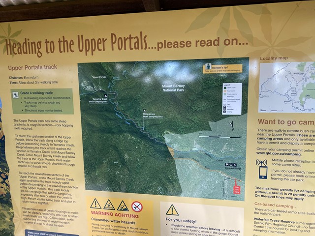
Upper Portals
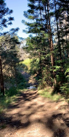
Easy navigation but with a steep hill. A 4WD or at the very least a high clearance vehicle is required to make it up the road. It is rough going in 1st gear with a few extended steep/rough stretches.
 2.1
km
return
1
hr
2.1
km
return
1
hr
Yellow Pinch Summit
Follow a trail all the way to the summit where you will find great views of Mount Barney. Recommend early morning walk. Great walk for those camping for a few days in the National Park or surrounding camping sites and resorts.
Walks in Mt Barney Summit
2
km
return
90
mins
Mt Barney West Peak from Rum Jungle
A walk to the actual summit of Mt Barney (West Peak is higher than East Peak). It's got views, not as crowded as East Peak, and quicker to get to from Rum Jungle.