
Girraween to Bald Rock Circuit
Girraween National Park


Menu
GPS Tracks

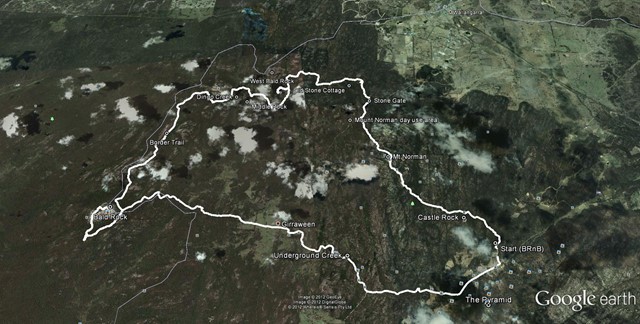
The route we took was a mix of bush tracks; fire trails and off track. There were quite a number of opportunities to replenish your water supply either at the Nat Park's camp grounds and creeks.
No Dogs Permitted
Camping Permitted
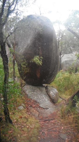
Eucalypt Forest
1288m
Maximum Elevation
2085m
Total Climb

Getting there
Set your vehicle GPS to Pyramid Rd, Girraween via New England Hwy.
Maps
Which maps cover the area?
Route/Trail notes
A detailed description of the walk!
Permits/Costs
Do you need any permits? What's the cost?
Other References
How can I find more info? Any guide books?
 Girraween-BaldRock Circuit (GPX)
 46
46 2
2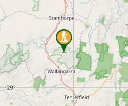
Comments