
The Sphinx and Turtle Rock
Girraween National Park


Menu
GPS Tracks
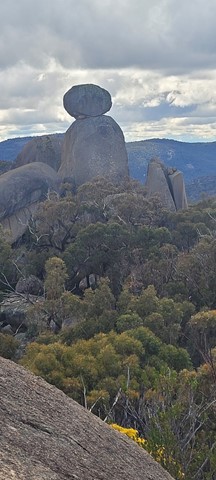
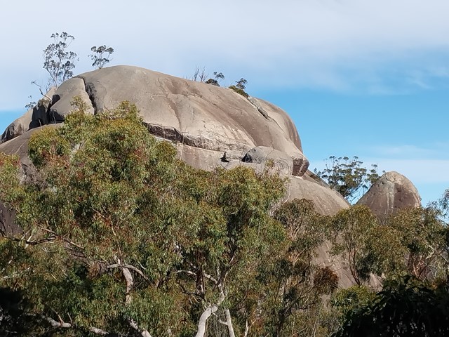
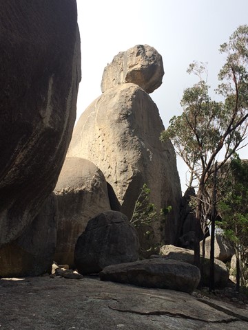


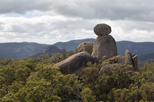
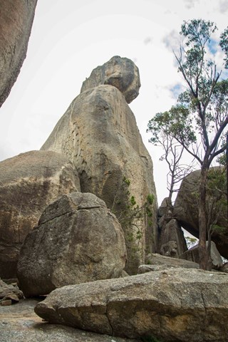
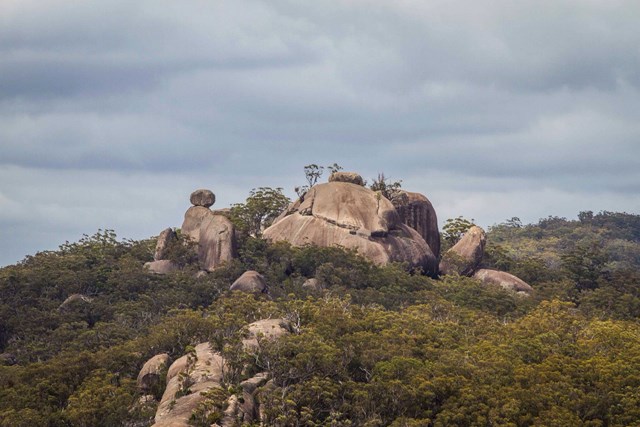

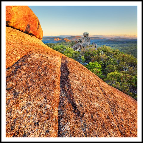
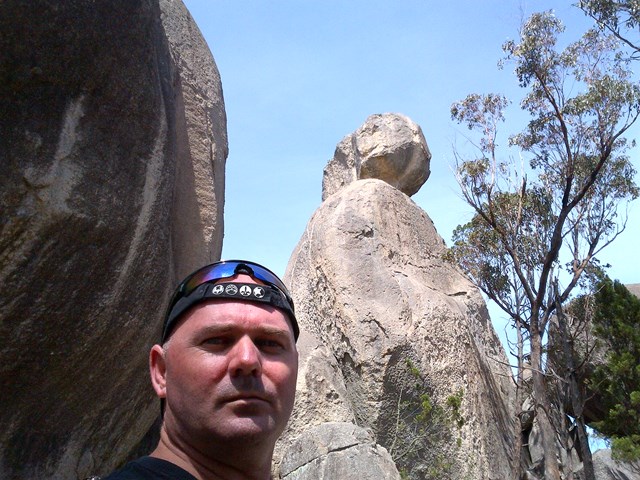
The Sphinx is a granite pinnacle bearing a large balancing tor, while Turtle Rock is a large granite monolith resembling a turtle's back.

Getting there:
Girraween NP is situated approximately 260km by road south-west of Brisbane. To reach the park, turn off the New England Highway 26km south of Stanthorpe or 30km north of Tenterfield onto Pyramids Road. The winding bitumen road continues a further 9km east through the Wyberba Valley to the park's Information Centre and day use picnic area.
An alternative road from Stanthorpe to Girraween via Eukey and Storm King Dam has some gravel sections.
Maps:
Route/Trail notes:
The walk starts from the southern end of the Castle Rock campground following the same track as Castle Rock and Mt Norman. Branch off before Castle Rock and take an easy walk along a ridge top with some facinating granite slabs.
Return by the same route.
Permits/Costs:
None.
Other References/Comments:
With so many bushwalking options in the park, why not take advantage of the excellent camping facilities at Castle Rock.
This walk is often in conjunction with Castle Rock which adds an extra 1.3km to your walk.
 426 The Sphinx and Turtle Rock (GPX)
 7
7 2.5
2.5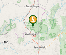
Comments