
The Junction
Girraween National Park


Menu
GPS Tracks
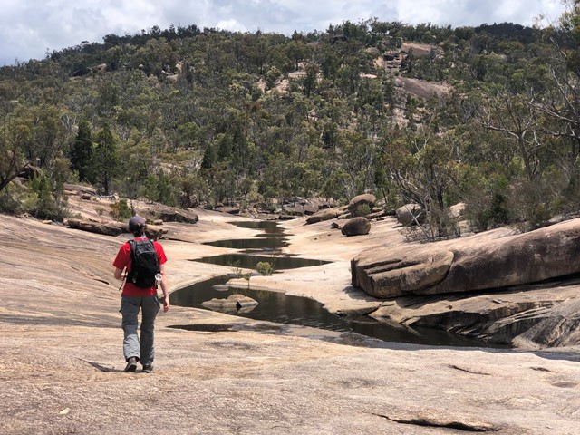

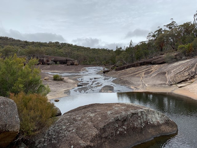
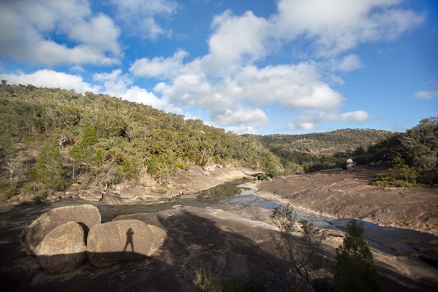
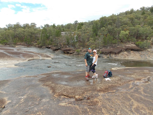
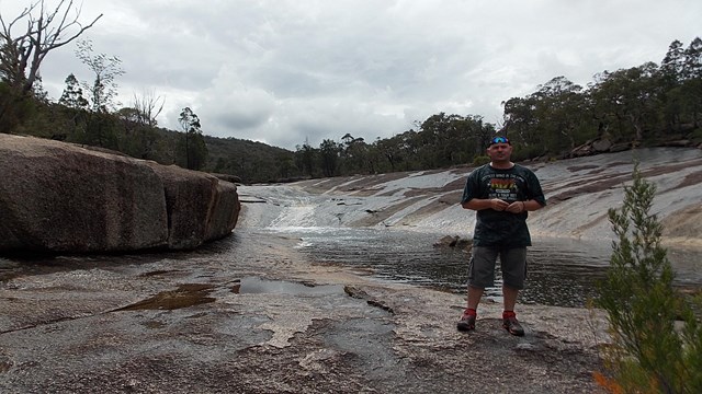

Enjoy an easy walk along the northern bank of Bald Rock Creek downstream to its junction with Ramsay Creek. In dry seasons, these creeks may not run.
A must for wildflower lovers, this track is scattered in spring with superb wildflower displays. Flowering shrubs fringing the creek provide nectar for honeyeaters and parrots. Superb fairy-wrens, red-browed firetails and thornbills move through creek bank thickets seeking insects.

Getting there:
Girraween NP is situated approximately 260km by road south-west of Brisbane. To reach the park, turn off the New England Highway 26km south of Stanthorpe or 30km north of Tenterfield onto Pyramids Road. The winding bitumen road continues a further 9km east through the Wyberba Valley to the park's Information Centre and day use picnic area.
An alternative road from Stanthorpe to Girraween via Eukey and Storm King Dam has some gravel sections.
Maps:
Route/Trail notes:
From the day use picnic area, head over the creek bridges as if you are going to the Granite Arch and then left along Bald Rock Creek Circuit. You then bear right onto the track, following the creeks northern side.
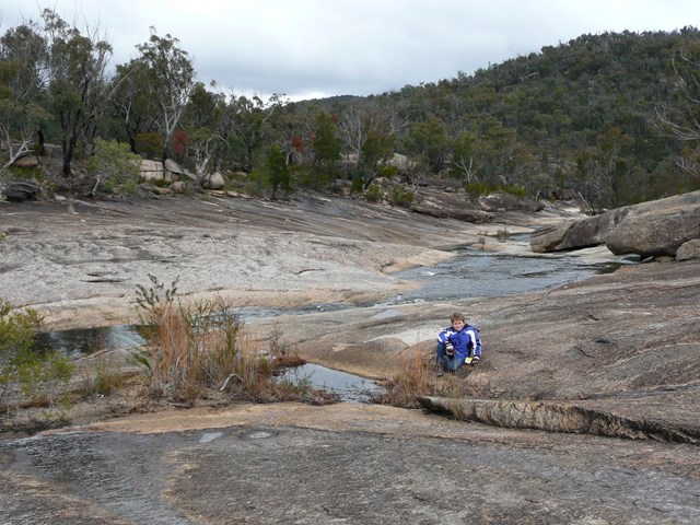
The track is well defined as far as the rocky creek bed. An information sign regarding The Junction is provided here. From here you have two options.
1. Crisscross the creek and scramble over the boulders as you work your own way down to the river junction.
2. Follow the white painted lines/markers (painted on the floor/rocks every 20m or so). Keep following the lines till you reach the 'X'.
On your return, once you reach the Bald Creek Circuit, follow this to right, over the creek (if dry) and up through the old campground to the roadway and left back to day use area.
Permits/Costs:
None.
Other References/Comments:
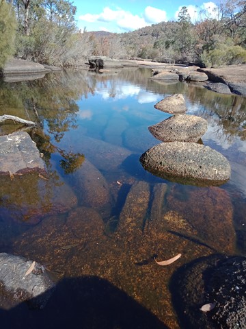
This walk shows you geology in the making! Prime examples of how wind and water has formed and continues to form the rounded boulder and left them sitting there ready to roll. How the mosses and lichen have worked their way into the cracks and crevices and caused slivers of granite to detach from the monoliths.
With so many bushwalking options in the park, why not take advantage of the excellent camping facilities at Castle Rock.
 157 The Junction (GPX)
 5.6
5.6 90
90
Comments