
Buaraba Falls/Ravensbourne Falls
Ravensbourne National Park


Menu
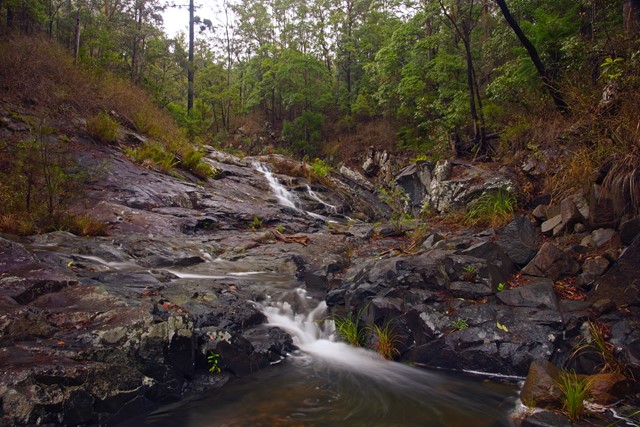

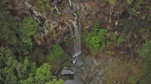
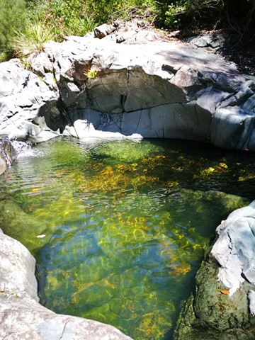
There are two decent sized waterfalls along Buaraba creek plus a pretty cascade.

Getting there
Whether you come from the north (via National Park Road, then Walsh Rd) or south (Seventeen Mile Road {Dirt Road}, then from Walsh Road) turn down onto Weller Road, this is a Dry Weather Road Only. The bottom of Weller Road is not looked after so an AWD or FWD is recommnded for this section of the road.
Maps
Which maps cover the area?
Route/Trail notes
Weller road is a dry weather road so if there has been a lot of rain I recommend starting at the top of Wellersrd which will add 2.5km to the total hike bringing it to a total of 7.5km return.
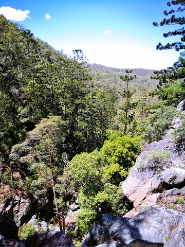
In dry weather you can drive down to the locked gate, park then follow the road/track (right side of the Gate). There are a few signs attempting to stop you, however ig nore them as the road is public. A ranger suspects a local has put them up themselves). Follow the road/track until you come across a trail on the left heading down to the creek, turn right at the creek follow it down stream, almost immediately you'll arrive at the first waterfall, continue down stream until you reach the cascades at the bottom you'll reach the top of the large waterfall.
Update: This trail is not graded or maintained by rangers and the trail is not easily found. You will need a good sense of direction and a GPS. The trail is also really overgrown and rough going so definietly recommend hardy clothing and be prepared to bush bash in sections.
Permits/Costs
free
Other References
How can I find more info? Any guide books?
GPS Tracks
- No GPS available for this walk yet.
 4.8
4.8 2.5
2.5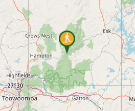
Comments