


 3
3 45
45- Toohey Forest Trailhead to Mt Gravatt Lookout (Brisbane City Council Local Walks)
- Sandstone Circuit (Brisbane City Council Local Walks)
- Toohey Forest Park Loop (Brisbane City Council Local Walks)
- Grass Tree Track (Brisbane City Council Local Walks)
- Stephens Mountain Reserve (Brisbane City Council Local Walks)
Toohey Mountain Track & Mayne Ridge Track
Brisbane City Council Local Walks
Menu
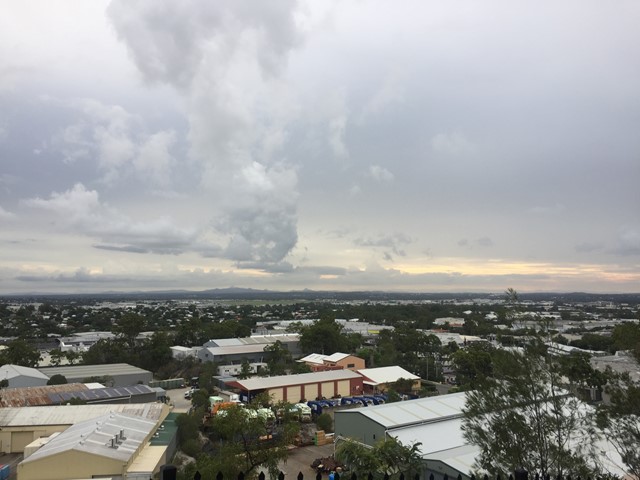

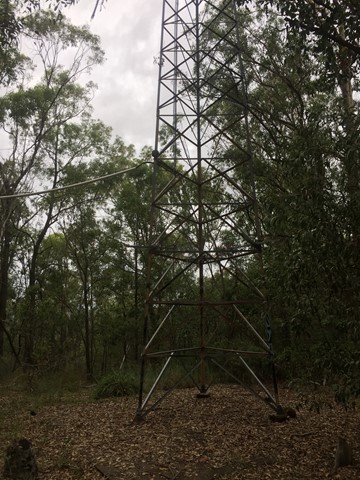
A short walk in Toohey Forest Park from the Mayne Estate Picnic Area to the top of Toohey Mountain and to Pegg's Outlook.
Lookouts
Picnic Facilities
Toilets
Eucalypt Forest
120m
Maximum Elevation
50m
Total Climb
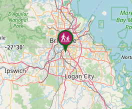
Getting there
How do you get to the start of the walk?
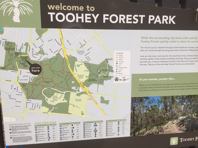
Mayne Estate Picnic Area, Toohey Forest Park of Toohey rd.
Maps
Which maps cover the area?
maps of Toohey Forest Park
Route/Trail notes
A detailed description of the walk!
Head to either Toohey Mountain or Pegg's Outlook first then walk along the ridge to the other before returning to the park.
Permits/Costs
Do you need any permits? What's the cost?
free
Other References
How can I find more info? Any guide books?
GPS Tracks
- No GPS available for this walk yet.
Where
Click here to load this map.
Comments