
Cedar Grove Hiking Trail
Amamoor State Forest


Menu
GPS Tracks
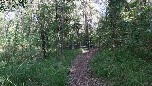


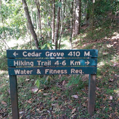
4.6km of rain forest. The first kilometre is a rise of 327mtrs above sea-level, which makes that about a 25% incline. The rest is a gentle downhill slope that flattens out to the forest floor.
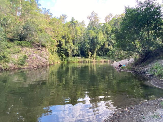
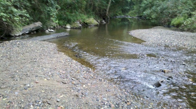
Swimming
Bird Watching
Picnic Facilities
Toilets
No Dogs Permitted
Camping Permitted
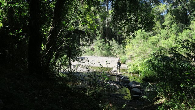
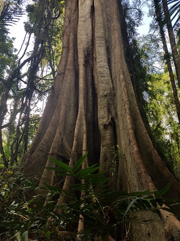
Rainforest

Getting there:
Head west off the Bruce Highway to Amamoor, then head toward the Country Music Muster site. Cedar Grove is approx 4 km before.
Maps:
Route/Trail notes:
4.6km plus the 400mtrs to the start. First 1 km is straight to the top. Then all good from there.
Permits/Costs:
None.
Other References/Comments:
Camping permit required if staying over at Cedar Grove or Amamoor Creek (fees apply).
 Cedar Grove Hiking Trail (GPX)
 4.6
4.6 2.5
2.5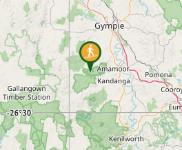
Comments