
Menu
Popular Walks
-
Amama Walk
(34 ticks) -
Cedar Grove Hiking Trail
(31 ticks) -
Amamoor Creek Hiking Trail
(18 ticks) -
Rainforest Walk
(11 ticks) -
Amamoor State Forest Lookout
(5 ticks)
Parent Regions
Summary
State Forest within SE QLD Region.
Popular Walks
-
Amama Walk
(34 ticks) -
Cedar Grove Hiking Trail
(31 ticks) -
Amamoor Creek Hiking Trail
(18 ticks) -
Rainforest Walk
(11 ticks) -
Amamoor State Forest Lookout
(5 ticks)
Parent Regions
History
Any interesting history for the region?
Features
What are the standout bushwalking features?
Access
How do you get there? Include all access points if there are many?
Maps
See QLD GOV link below
Accommodation
This is only a 1.5 hours drive from the sunshine coast, a tourism hub in SE QLD with plenty of accommodation.
Camping
https://parks.des.qld.gov.au/parks/amamoor/camping.html
Other
Contact details
Queensland Government Parks and Forests [Amamoor State Forest] link:
https://parks.des.qld.gov.au/parks/amamoor/about.html
See this link for the latest park alerts
Walks in Amamoor State Forest

 2.2
km
return
2.2
km
return
 1
hr
1
hr
Amama Walk
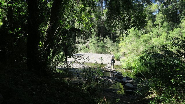
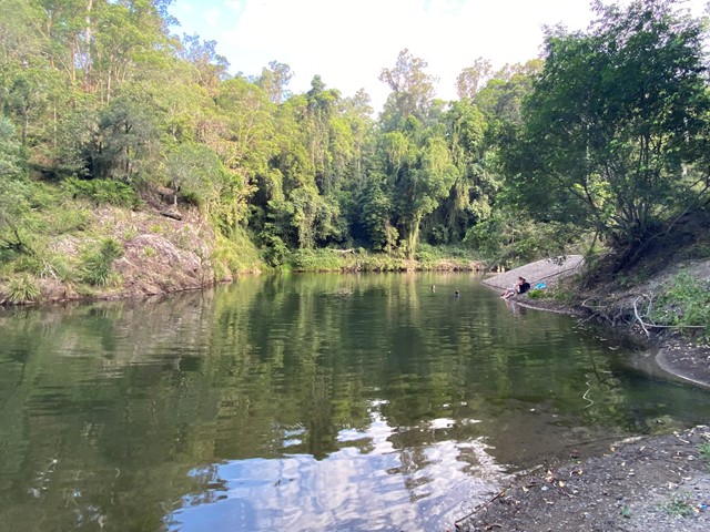
Follow the pleasant Skyring Creek up to the Cascades then up to Diamondfield and Happy Valley Lookouts.
 2.5
km
return
1
hr
2.5
km
return
1
hr
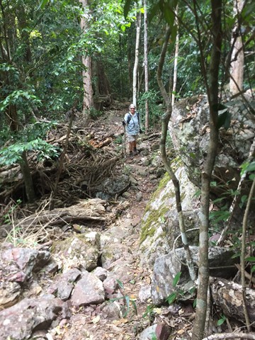
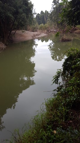
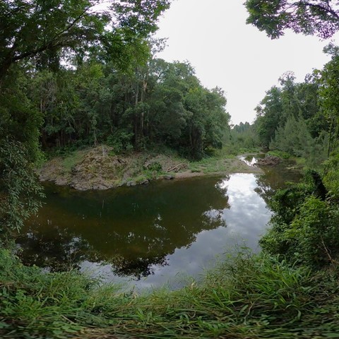
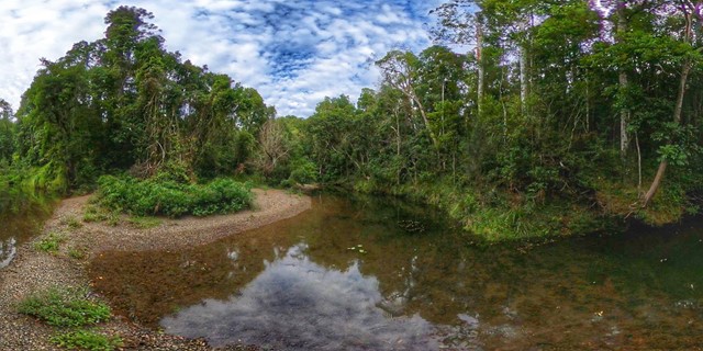
Amamoor Creek Hiking Trail
This walk starts across the road from the main stage at the top of the hill at the Muster site and winds up hill through thick bush allowing no views. Crossing a couple of dry creeks, even though there has been rain here, until it hits a forestry road and follows it up another hill, before you start the down hill run. A lot of Bunya Pine and little else, with the track is well defined.
 8
km
return
2
hrs
8
km
return
2
hrs
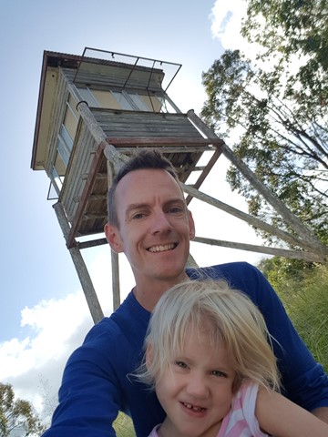
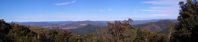
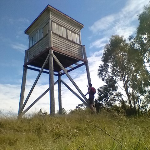
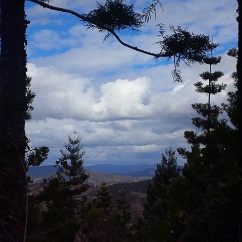
Amamoor State Forest Lookout
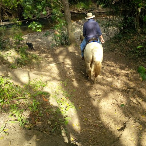
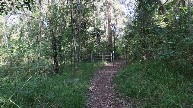
This is a shared trail for 4wd , Motorbikes , horse riders and hikers. This one starts opposite the 2nd car park entrance of Amama day-use area. You noticed a gate when looking up, just follow.
Follow the track to the right at the first intersection , then to the left at second intersection , then again keep following to the left. You will hit a rather steep section again full of rocks and gravel leading up to the lookout tower. Notice there's currently no ladder to get into the tower yet still have nice views though.
 4.6
km
return
2.5
hrs
4.6
km
return
2.5
hrs
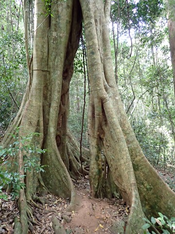
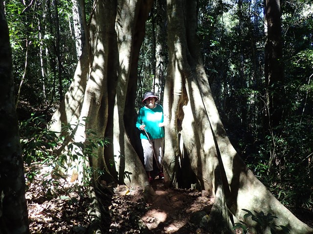
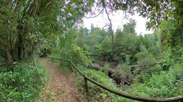
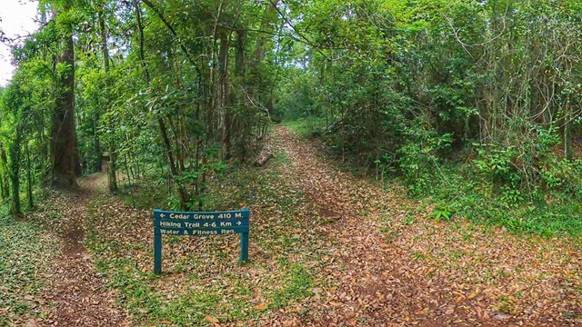
Cedar Grove Hiking Trail
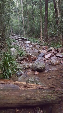
4.6km of rain forest. The first kilometre is a rise of 327mtrs above sea-level, which makes that about a 25% incline. The rest is a gentle downhill slope that flattens out to the forest floor.
 1.2
km
return
30
mins
1.2
km
return
30
mins
Macadamia Walk
This rainforest walk with interpretive signage takes you along Amamoor Creek and up Skyring Creek to the creek crossing whilst pointing out the wild Macadamia trees along the way.
 8.8
m
return
2
hrs
8.8
m
return
2
hrs
Mt Little Baldy
Long winding overgrown ( lantana )and seems unused forestry track leading to top of mountain which has limited views due to trees and growth yet a very peaceful walk in the State Forest.
When you get at the beginning of the Amamoor State Forest , where the sign is located right had side of road , you will find 2 tracks , facing them take the right one. Go through barbwire gate and simply follow the track up. Decent footwear required !
 1.2
km
return
30
mins
1.2
km
return
30
mins
Rainforest Walk
A short rainforest walk around Cedar Grove Camping Area with two intrepid crossings of Amamoor Creek.