
Mt Taranaki
North Island NZ


Menu
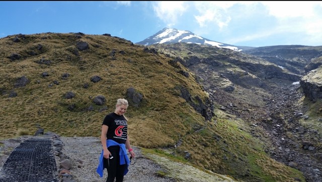
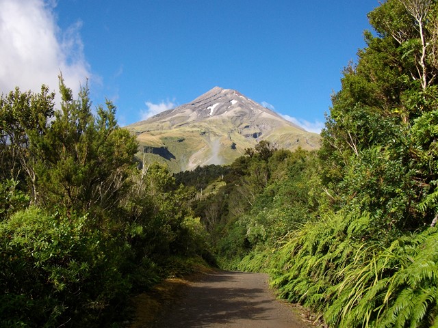
Active Stratovolcano located just east of New Plymouth on the North Island of New Zealand. 2nd highest mountain on the north island and was used as the backdrop in the film 'The Last Samurai' due to its similarity to Mt Fuji. You can see it all the way from the Tongariro Alpine Crossing on a clear day! It should only be climbed in summer unless you have proper mountaineering experience, even then expect it to be snow/ice capped. An excellent and challenging walk to the summit with a bit of everything - scree/hiking/scrambling/crossing ice plains.

Getting there
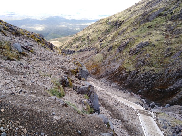
Located 30mins from New Plymouth. The walk starts from the North Egmont Visitor Centre at the end of Egmont Road.
Route/Trail notes
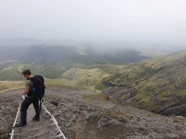
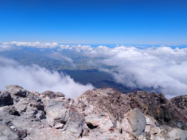
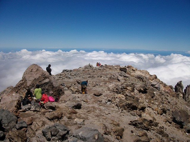
From the visitor centre there is a steep hike up to the Tahurangi Lodge (60-90mins), good place to assess the weather and decide whether to continue. From there climb a massive stair case up to the start of the scree fields. Very steep on loose gravel and rocks, very easy to lose your footing. Passing the scree fields you will get to the start of the scrambling section. Follow the pole markers all the way to the top (they are numbered with pole #1 located at the top of the scrambling section). At this stage you have the option to cross the ice covered crater to get to another short climb to the summit. The summit offers 360 degree views hundreds of kms in any direction on a clear day!
Permits/Costs
Nil Cost
Other References
https://www.doc.govt.nz/parks-and-recreation/places-to-go/taranaki/places/egmont-national-park/things-to-do/tracks/mount-taranaki-summit-track/
GPS Tracks
- No GPS available for this walk yet.
 12.6
12.6 8
8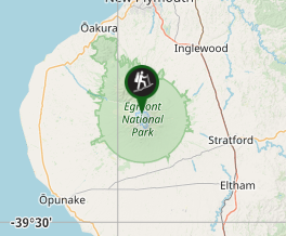
Comments