
Le Mont Aigu & La Bombarde
France


Menu
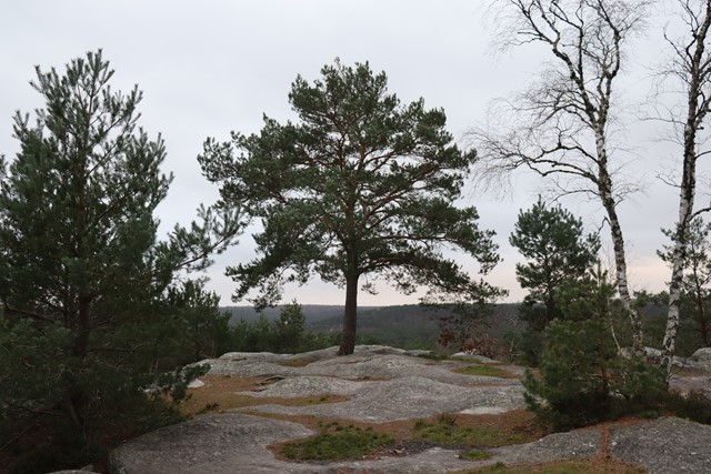
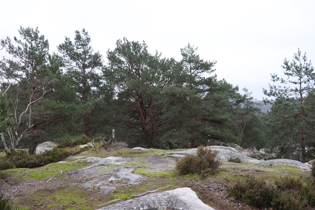
A walk in Fontainebleau Forest to Le Mont Aigu (123m) and then across to La Bombarde.
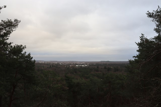
Lookouts
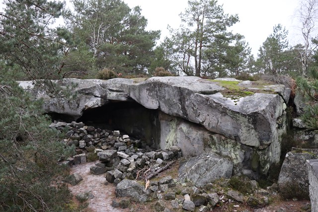
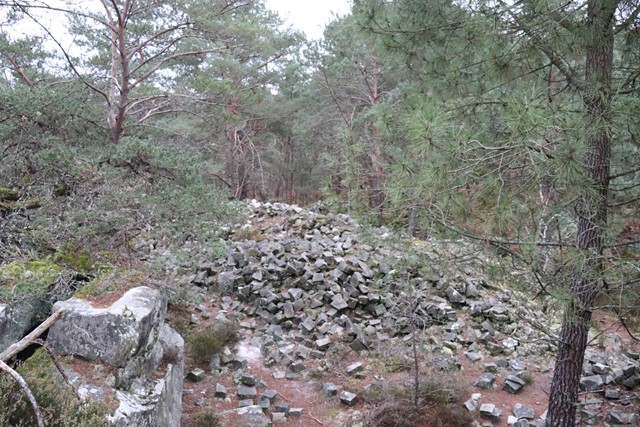
Heritage Sites
123m
Maximum Elevation

Getting there
How do you get to the start of the walk?
From the carpark at the end of Route de la Faisanderie.
Maps
Which maps cover the area?
Map of Fontainbleau forest
Route/Trail notes
A detailed description of the walk!
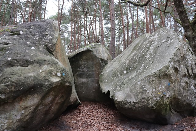
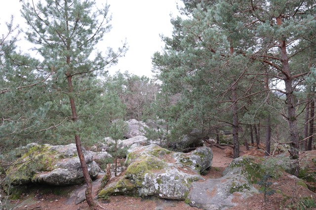
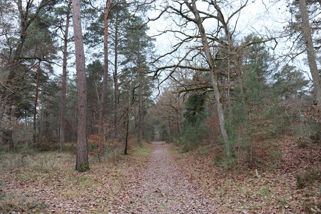
From the carpark at the end of Route de la Faisanderie continue to Route de l'Ermitage and wind up Mont Aigu before winding down to Hommage a Denecourt et Colinet and across to the route on the far ridge called Route du Polygone before heading across to La Bombarde and then down to the start.
Permits/Costs
Do you need any permits? What's the cost?
Free
Other References
How can I find more info? Any guide books?
GPS Tracks
- No GPS available for this walk yet.
 4.5
4.5 3
3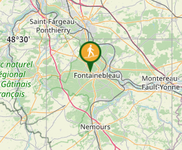
Comments
Nobody has commented on this walk yet. If you've done it then tick it off and add a comment.