
Mt Catherine
Egypt


Menu

A long challenging day walk to the highest mountain in all of Egypt.

Getting there
The walk started from the village of St Catherine - a short walk from the Sheikh Mousa Bedouin Camp.
Route/Trail notes
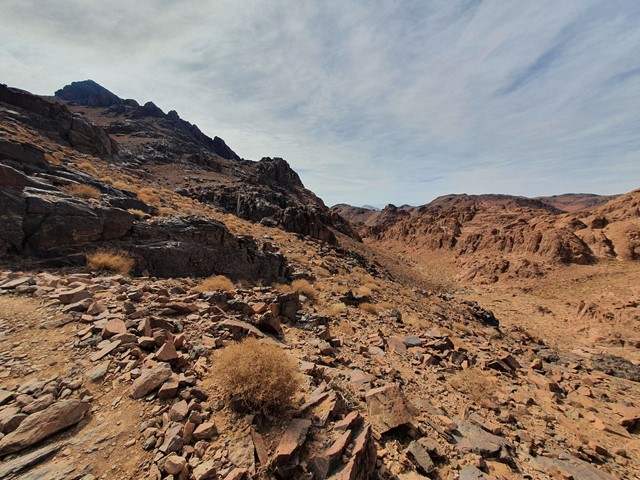
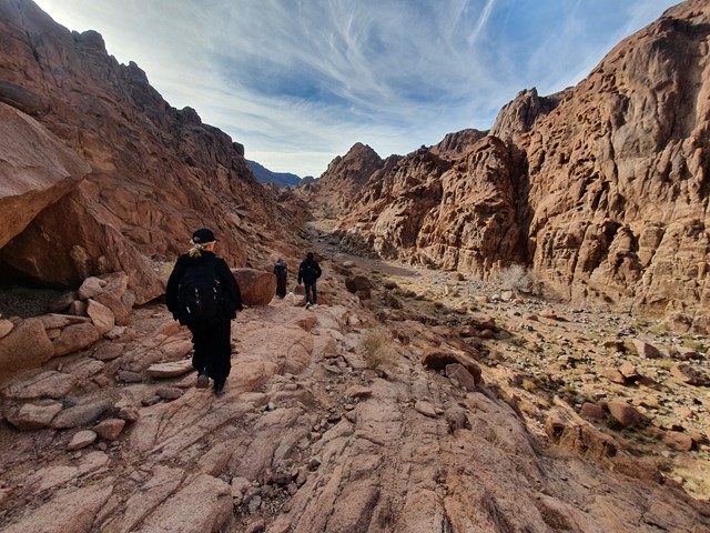
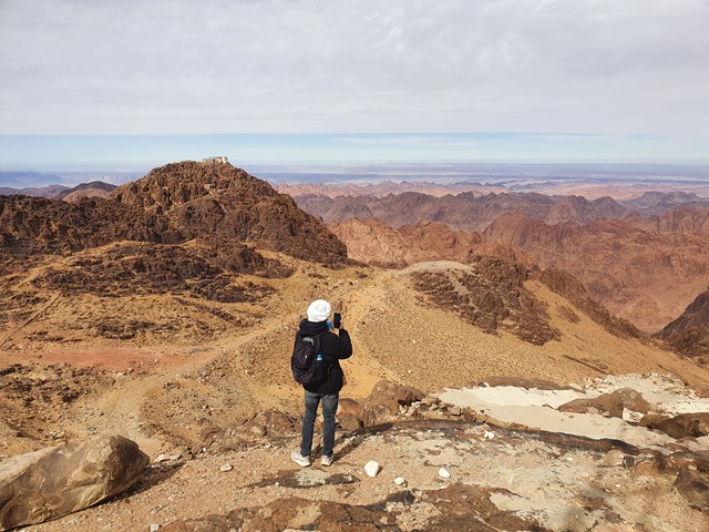
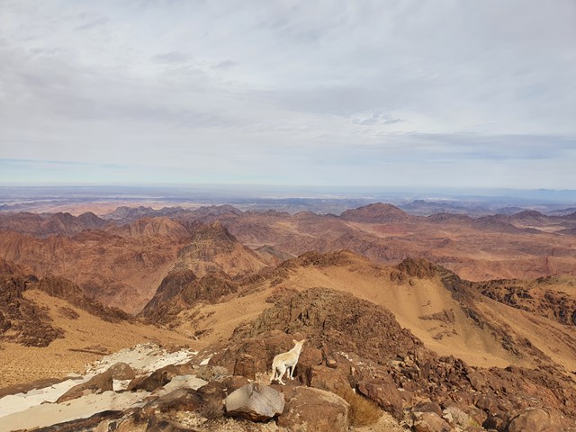
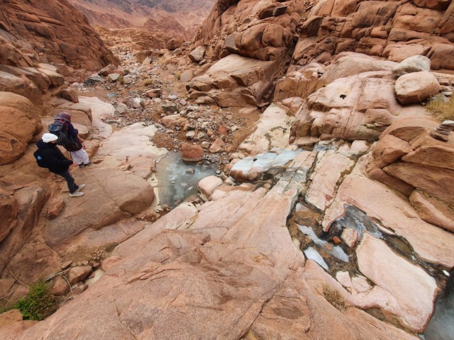
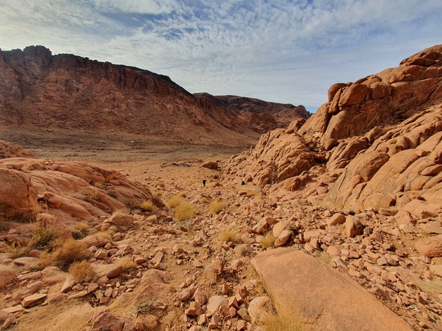
The walk starts from the village and quickly turns steep as you zigzag your way up the side of the cliffs flanking the village. As you reach the top you will commence a short descent into the valley that leads to Mt Catherine. The walk through the valley is mostly flat passing through dry creek beds where local Bedouins have dug deep water wells. After about an hours walk the real ascent will start as you climb up the side of the range to the left of the valley. The walk has some fairly easy scrambling sections but is predominately uphill walking. Reaching the ridgeline you will have your first view of the summit. The gradient from here is fairly consistent - steep but not diabolically steep. Once you reach the zigzag section you will know you aren't too far from the top. You will reach the saddle - the peak on the right has a small abandoned monastry, the peak on the left (the true summit) has an Egyptian Defence Force radio tower. Return via the same route.
Permits/Costs
You will need a Bedouin guide to undertake this hike. Unlike the walk up Mt Sinai this walk could be quite tricky attempting solo. Recommend speaking with the people at the Sheikh Mousa Bedouin camp as they can organise transport, accomodation and guides - in addition to food and water for the hike.
Other References
https://www.countryhighpoints.com/egypt-gebel-katherina/
GPS Tracks
- No GPS available for this walk yet.
 19
19 9
9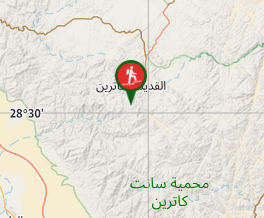
Comments