
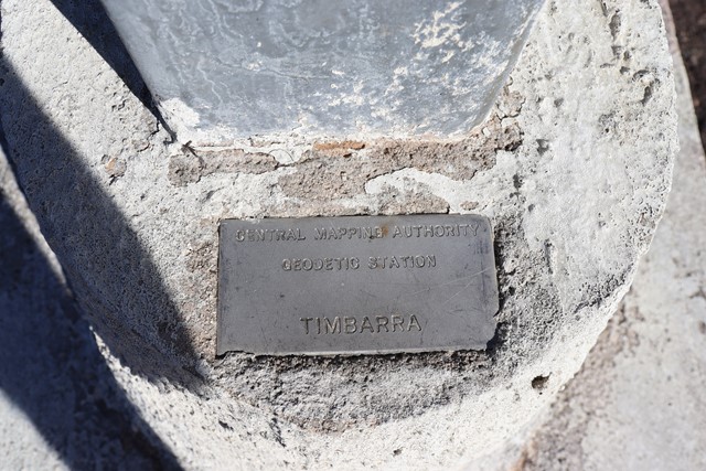
Timbarra Lookout
Basket Swamp National Park


Menu
GPS Tracks
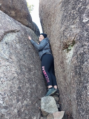
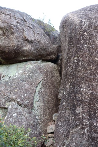
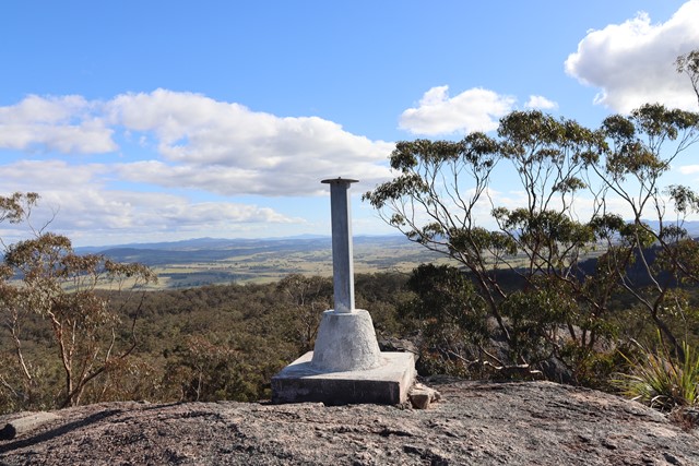
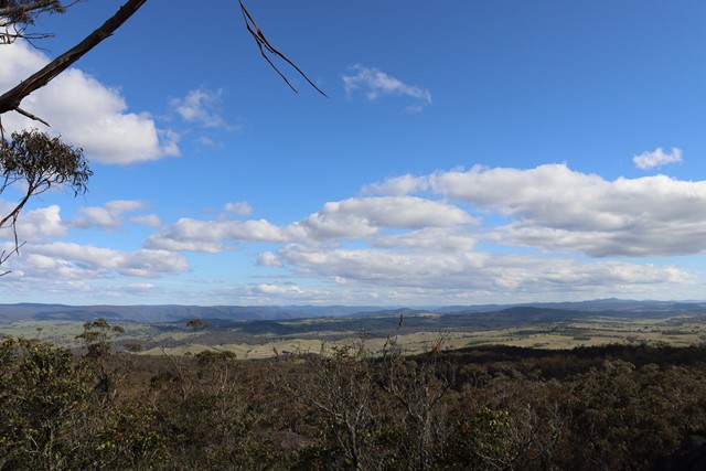
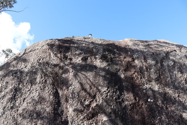
An outcrop of granite rocks near the southern edge of the Basket Swamp National Park. An easy 100-metre walk trail brings you to the base of this trig point which is high on the tallest rock in this outcrop though to get to the trig on top of the rock requires a hard climb up a very narrow crevasse. 180 degree views across farmlands and the Bruxner Highway and as far as Tenterfield can be seen from the rock.

Getting there:
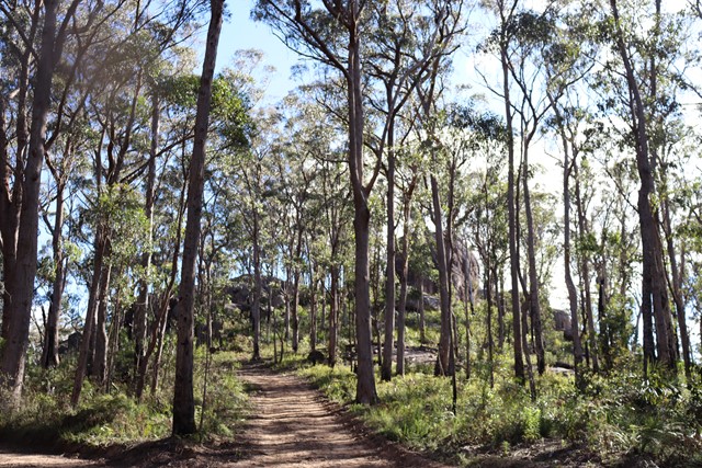
From Mt. Lindesay Road, drive through Lindrook Road. Turn right at Woollool Woolloolni Road. The lookout will be on your right on Trig Trail. The road beyond here is 4WD only.
A 4WD is recommended if there has been any rain.
Maps:
Route/Trail notes:
The walk to below the trig is easy. The ‘hard’ difficulty rating comes from the tight climb up a crevice to get to the trig on top of the tallest boulder. Difficult because of how small the crevice is, probably a greater risk of getting stuck than falling out. If you are unable to get up to the trig views are still offered from the rocks below.
Permits/Costs:
None.
Other References/Comments:
None provided.
 411 Timbarra Lookout (GPX)
 300
300 1
1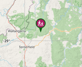
Comments