
Menu
Popular Walks
-
Bondi to Coogee
(35 ticks) -
Spit Bridge to Manly
(22 ticks) -
Bondi to Bronte
(20 ticks) -
South Head Heritage Trail (Sydney Harbour NP)
(15 ticks) -
Manly to North Head
(15 ticks)
Popular Walks
-
Bondi to Coogee
(35 ticks) -
Spit Bridge to Manly
(22 ticks) -
Bondi to Bronte
(20 ticks) -
South Head Heritage Trail (Sydney Harbour NP)
(15 ticks) -
Manly to North Head
(15 ticks)
Walks in Greater Sydney

 14
km
one-way
14
km
one-way
 4
hrs
4
hrs
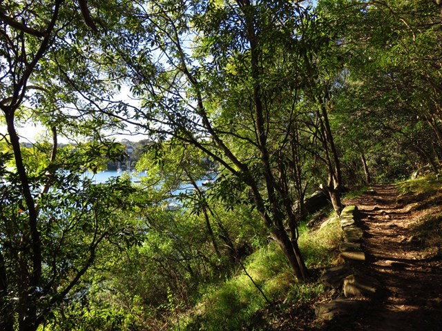
Harbour Circle Walk: Greenwich to Woolwich
This walk takes you from Greenwich Ferry Terminal to Woolwich Ferry Terminal passing through nice harbour views, parks, bushland and plenty of great views.
 14
km
one-way
3.5
hrs
14
km
one-way
3.5
hrs
Harbour Circle Walk: Huntleys Point to Balmain
This walk takes you from Huntlets Point Terminal to Balmain East Ferry Terminal passing through nice harbour views, parks, bushland and plenty of great views.
 2.2
km
one-way
1
hr
2.2
km
one-way
1
hr
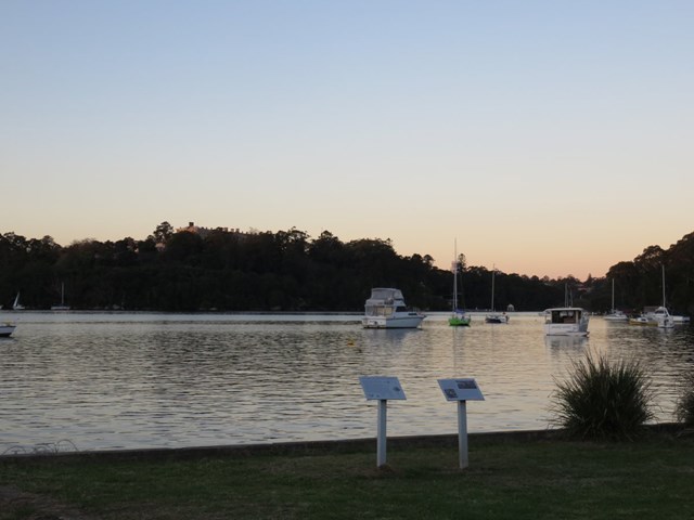
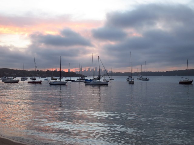
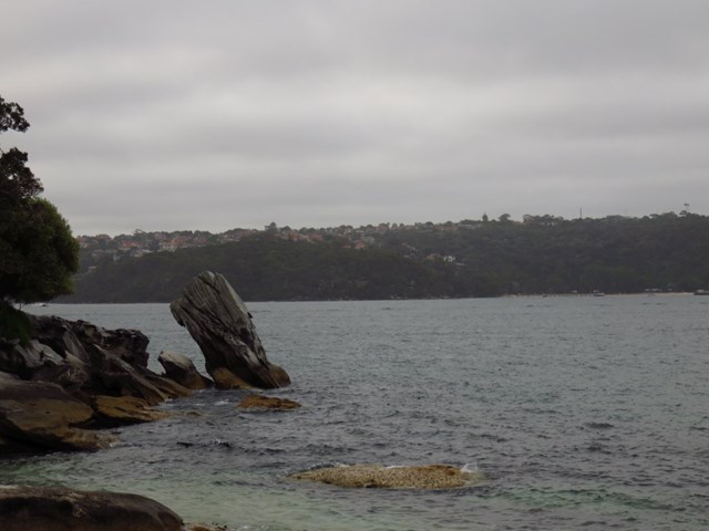
Hermitage Foreshore Walk (Sydney Harbour NP)
The Hermitage Foreshore Walk is a wonderful way to explore Sydney Harbour from the perspective of South Head. This walk starts from Nielsen Park and follows a well maintained track along the narrow strip of harbour-side bushland to Bayview Hill Rd. Along the way, you will visit some secluded beaches and visit the historic Strickland House. A great walk exploring the history and natural beauty while enjoying a new perspective of the city.
 11.5
km
one-way
3
hrs
11.5
km
one-way
3
hrs
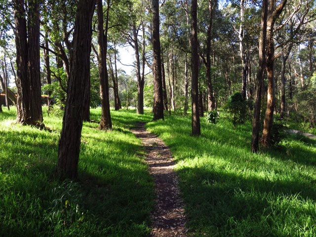
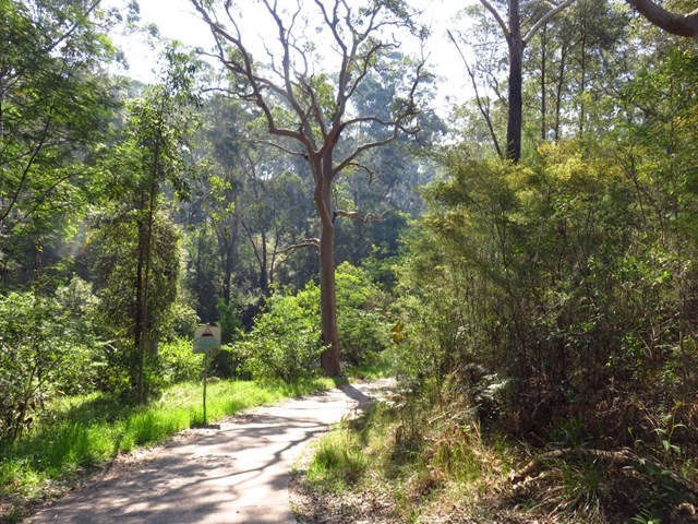
Macquarie Park to Thornleigh (GNW)
Starting from the Macquarie Park train station, you wander down Lane Cove Rd and over De Burghs Bridge to join the main spine of the Great North Walk in the Lane Cove Valley. Here the walk heads under De Burghs bridge then explores the dry grass tree and eucalypt forest along the side of the ridge. The track soon leads you down into the ferny and moist valley beside Lane Cove River. Near the top of the valley, you walk up some stone steps built during the depression to find some rock engravings with 1930's style political satire, Conscript Pass. The side trip provides access to the scout campsite, where the main walk continues leads up through the streets to find Thornleigh train station.
 9.5
km
return
3
hrs
9.5
km
return
3
hrs
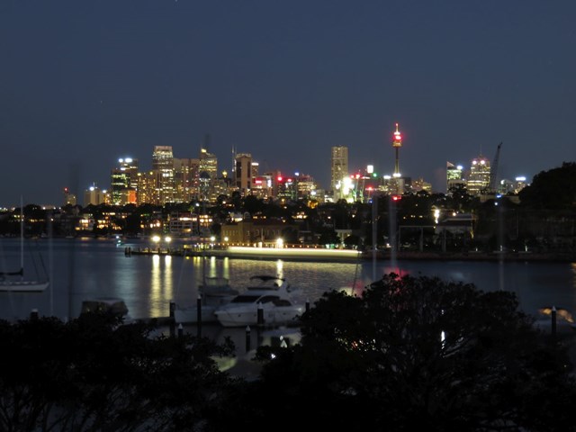
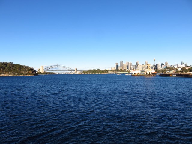
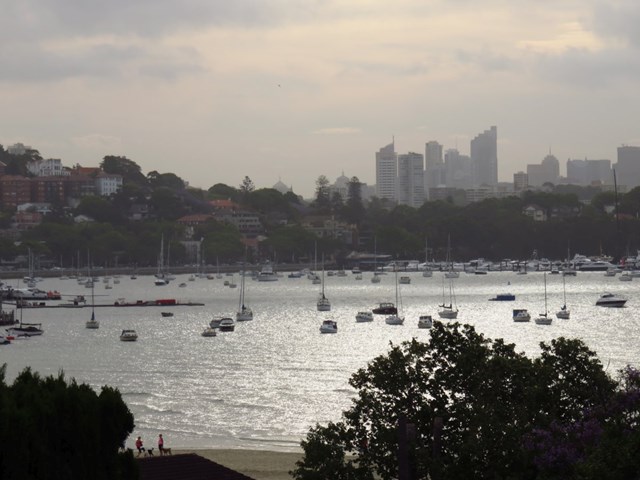
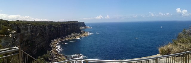
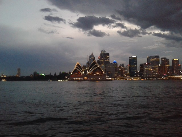
Manly to North Head
“Sunset from North Head is on my list of ways to impress my overseas visitors. They simply can’t believe how beautiful it is.”
The heath-covered clifftops at North Head reveal unending ocean views and a spectacular panorama of the harbour and Sydney skyline. Situated on the northern-most edge of the harbour within sight of Hornby Lighthouse on South Head, it’s a relaxing ferry ride from Circular Quay. One of those things to do when visiting Sydney, it’s near to Manly, and a great day trip for locals and tourists alike.
 1.7
km
return
40
mins
1.7
km
return
40
mins
Mt Trefles
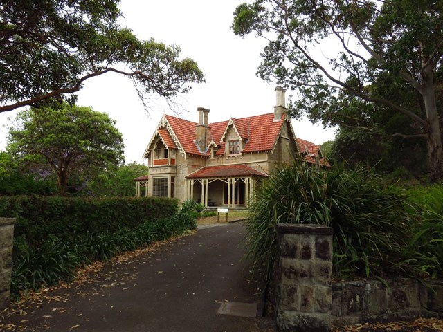
This walk explores the bushy interior section of Nielsen Park. On this walk, you will visit historic Greycliffe House and the Steele Point Gun Emplacement. The walk climbs over the Mount Trefle summit. At just over 40m above sea level, I suspect most walkers will not consider it much of a mountain, but an enjoyable walk all the same. Most of this walk follows concrete and sealed paths, and there are some great harbour views on the second half of this walk.
 4.3
km
return
90
mins
4.3
km
return
90
mins
Mueller Track
The longest trails in the St Ives Wildflower Garden, a relatively “undiscovered” park in Sydney’s north. An easy walk with some variety of terrain.
 3.5
km
one-way
1
hr
3.5
km
one-way
1
hr
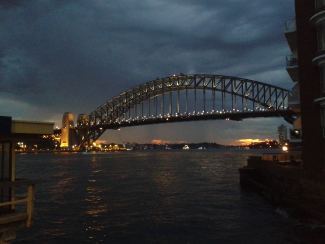
Neutral Bay to Kirribilli
Beginning at Neutral Bay Ferry Terminal this walk will take you along the bay side through Kirribilli. You will see some of the best views of the Harbor Bridge and Opera House. The walk finishes at Milsons Point Ferry Terminal (Luna Park).
 8.7
km
one-way
2
hrs
8.7
km
one-way
2
hrs
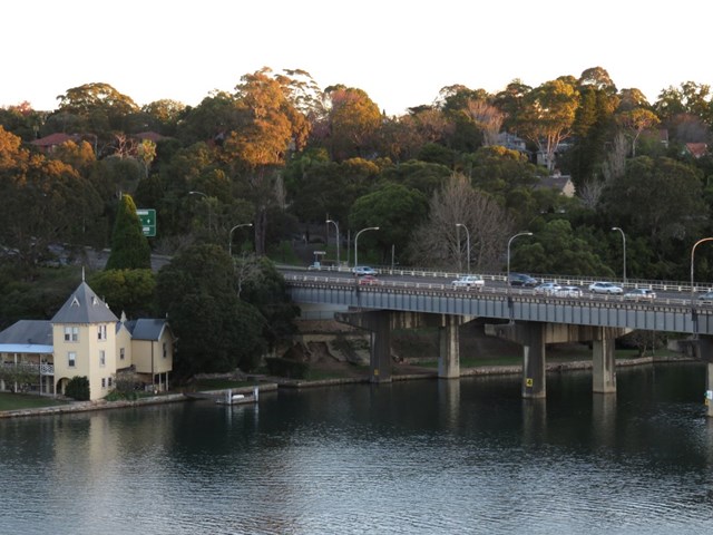
Parramatta River Walk-Meadowbank to Parramatta
Walk along the north bank of the Parramatta River. Parks, board walks and bikeway mix. Many references to historic points and places along the way.
 5.5
km
return
90
mins
5.5
km
return
90
mins
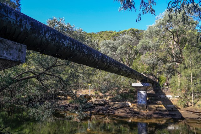
Pipeline Track
A short circular hike in Sydney’s north shore, suitable for hiking, jogging or mountain-biking. Follows a large water pipe down to Middle Harbour Creek... hence the name of the track.