



Menu
GPS Tracks

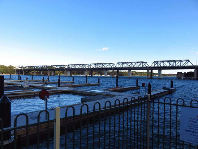
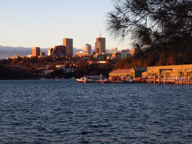
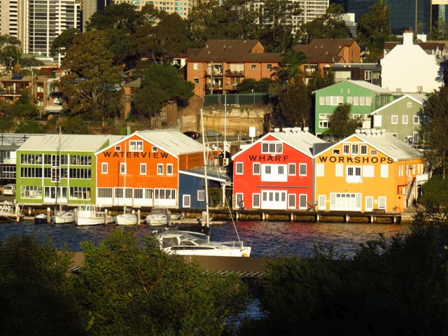
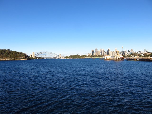
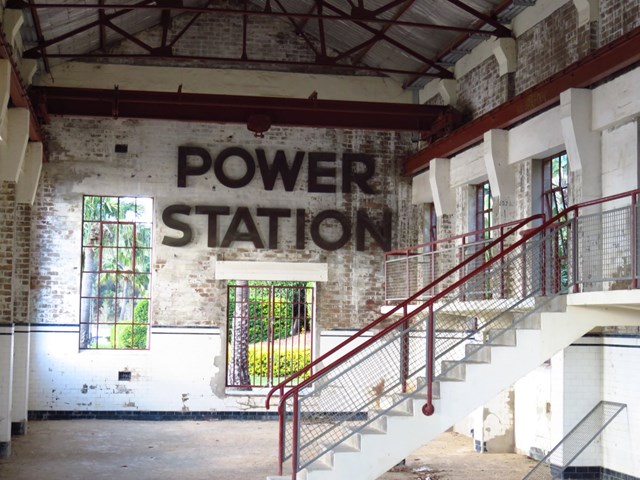
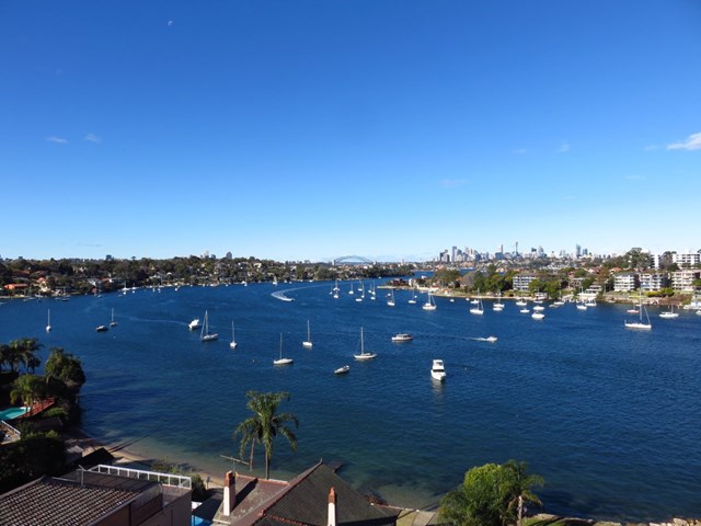
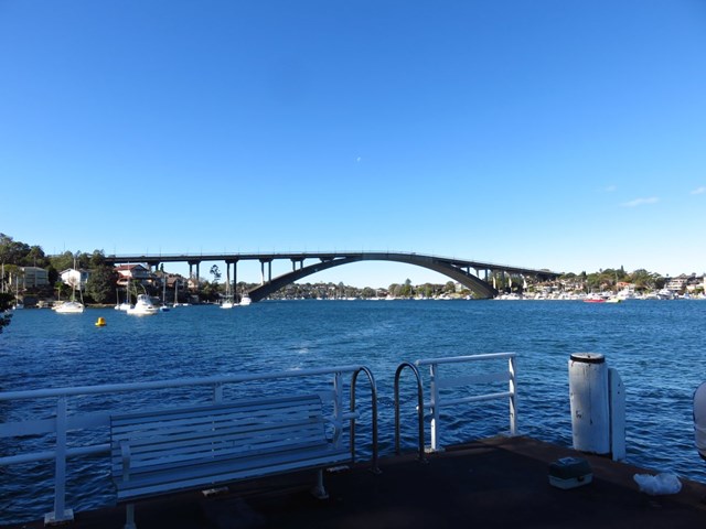
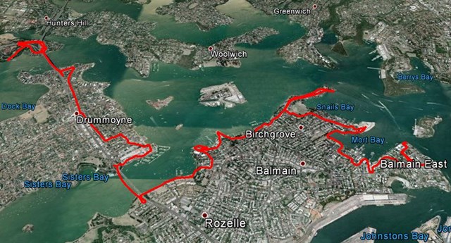
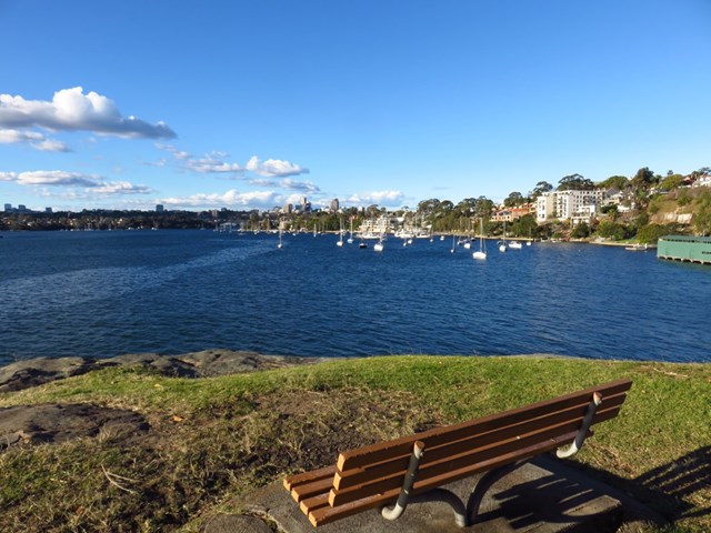
This walk takes you from Huntlets Point Terminal to Balmain East Ferry Terminal passing through nice harbour views, parks, bushland and plenty of great views.
Public Transport
Dogs Permitted
Coastal
35m
Maximum Elevation
384m
Total Climb

Getting there
Start at Huntleys Point Ferry Terminal
Maps
Which maps cover the area?
Route/Trail notes
For full details and maps please see reference link below. The GPS track has also been uploaded.
Permits/Costs
Do you need any permits? What's the cost?
Other References
http://www.walkingcoastalsydney.com.au/brochures/harbour_circle_walk.htm
GPS Tracks
 Huntlets Point to Balmain (KML)
Easy
 14km one-way
 3.5hrs
Public Transport
Dogs Permitted
Coastal
Where
Click here to load this map.
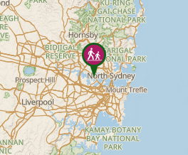 Map data © OpenStreetMap contributors. Terrain: © Geoscience Australia.
Comments