
Threlfall Walk (Gara Gorge)
Oxley Wild Rivers National Park


Menu
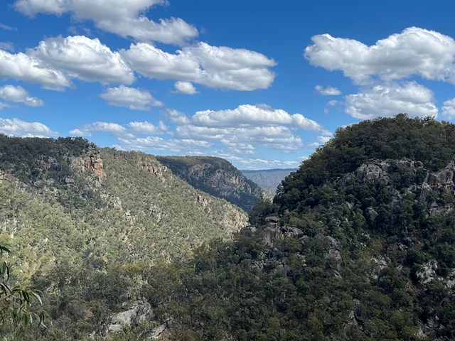
The track explores the former site and few remnants of the first commercial hydroelectric scheme in Australia.
Waterfalls
Lookouts
Swimming
Bird Watching
Heritage Sites
Picnic Facilities
BBQ
Toilets
Eucalypt Forest

Getting there
How do you get to the start of the walk?
Take the Castledoyle Road (mostly sealed), off Armidal road. Drive to the Blue Hole picnic area or the next picnic area close by (Trailhead).
Maps
Which maps cover the area?
Route/Trail notes
A detailed description of the walk!
Permits/Costs
Do you need any permits? What's the cost?
Other References
How can I find more info? Any guide books?
GPS Tracks
- No GPS available for this walk yet.
 5.5
5.5 2
2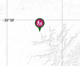
Comments