
Chandler View Circuit
Oxley Wild Rivers National Park


Menu
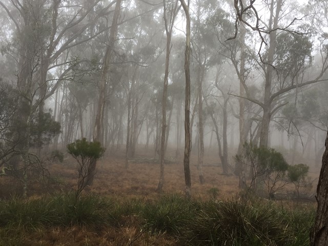
A walk through the Long Point section of Oxley Wild Rivers National Park
including a lookout over the Chandler River.

Getting there
From Armidale, follow the Waterfall way for about 36 km to the turnoff to Hillgrove. From Hillgrove turn left into Brereton-Long Point Rd for about 20km until you see the turnoff to the recreation area on the right. The Long Point recreation area is 700m from this turnoff.
Maps
Which maps cover the area?
Route/Trail notes
Begin this walk at the Long Point Recreation area. Follow the path in a clockwise direction which will take you through the camp grounds, across the road and along the top of the cliffs until you come to the lookout. Then continue the circuit back to the recreation area.
Permits/Costs
There are no permits or costs.
Other References
How can I find more info? Any guide books?
GPS Tracks
- No GPS available for this walk yet.
 5.5
5.5 100
100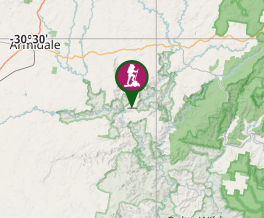
Comments