
Lindsay Rock Tops
Mount Kaputar National Park


Menu
GPS Tracks

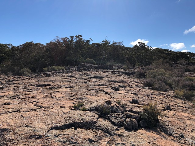

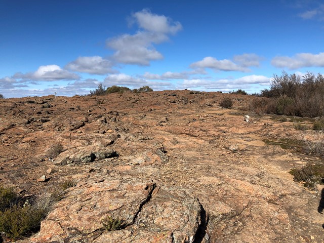

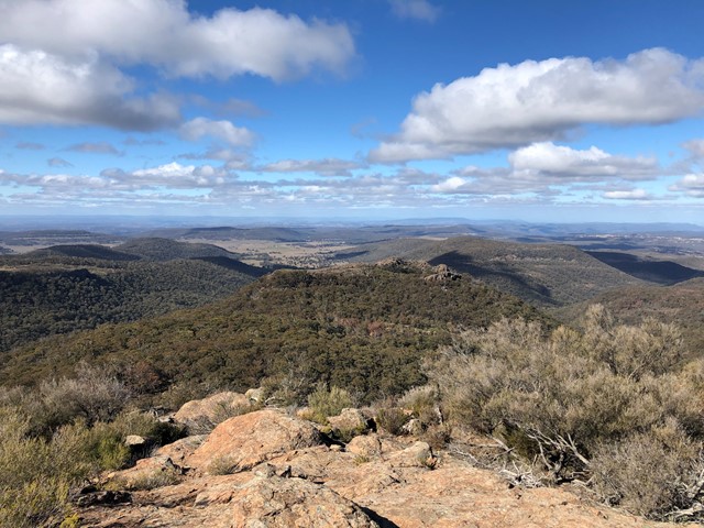
This is a relatively easy walking track with no steep sections. You'll walk through snowgum woodland to an open rocky lava flow area with magnificent views to the south and east.
This is more like a 'moonscape' with the harsh southerly weather leaving a baron and low scrub environment.

Getting there:
From Narrabri, take Old Gunnedah Road south and after about 2.5km, turn left onto Kaputar Road. Follow Kaputar Road for 27km to the entrance of Mount Kaputar National Park. The road from the park entrance is a steep, single lane road and caravans are not permitted.
You’ll find the Lindsay Rock Tops car park about 20km along on the left, as you start up towards Mt Dowe.
Maps:
Route/Trail notes:
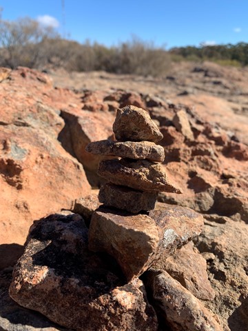
Follow the trail out to the lava flow; cross this to the stone cairns and head to your left
Most people stop at the cairns of stones, thinking this is it, when in fact you travel a little further to the left for the platform lookout.
Permits/Costs:
None.
Other References/Comments:
With so many bushwalking options here and a length drive in, why not take advantage of the excellent camping facilities at Bark Hut or Dawsons Spring.
 150 Lindsay Rock Tops (GPX)
 2
2 45
45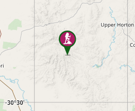
Comments