
Mt Carrialoo
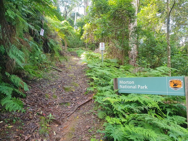
Morton National Park


Menu

A nice half day adventure with 50% steep incline up a firetrail and 50% light bush bashing and scrambling to the summit of Mt Carrialoo.

Getting there
Set your GPS to Mcphails Fire trail which is just off Jacks Corner Rd. Park at the entrance before the sign.
Route/Trail notes
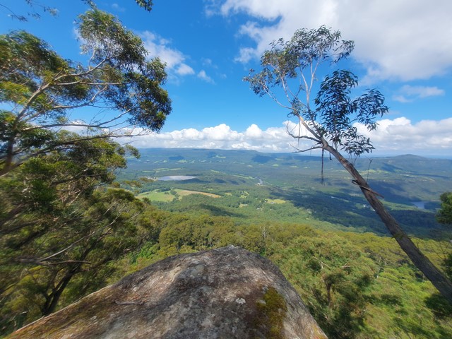
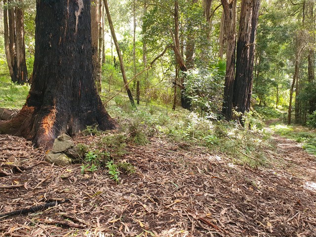
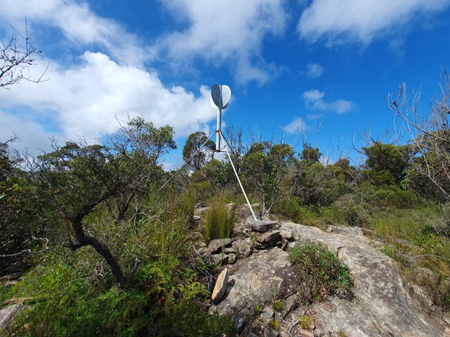
The steep incline starts pretty well immediately as you begin your ascent up the fire trail. The trail is quite easy to follow as it zigzags its way up the side of the side of the cliff. When it starts to flatten out you will see some high terrain appear in front of you - that is where Mt Carrialoo is. Look out for a pile of rocks on the left that marks a faint footpad. The GPS track on AllTrails suggests the start of the bushbash begins about 200 meters on from this point but doing that will mean you will miss the best views of the hike. The trail is reasonably well marked and it leads to a steep embankment with a fixed rope you need to scramble up. Not far from there you will encounter some great viewing platforms to check out the Kangaroo Valley. If you aren't interested in peak bagging probably no need to go any further because the track becomes a lot trickier to follow, and the views get a lot less impressive as you go on. If you do chose to go on it will be a bit of a bushbash where you will encounter lots of faint trails that appear and then quickly disappear. Only when you get within about 5 minutes of the summit will you encounter a decent trail. Recommend a GPS or some old fashion navigation skills.
Permits/Costs
No cost
Other References
https://www.alltrails.com/explore/trail/australia/new-south-wales/mount-carrialoo
GPS Tracks
- No GPS available for this walk yet.
 8.9
8.9 5
5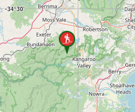
Comments