
Menu

 840
m
return
840
m
return
 20
mins
20
mins
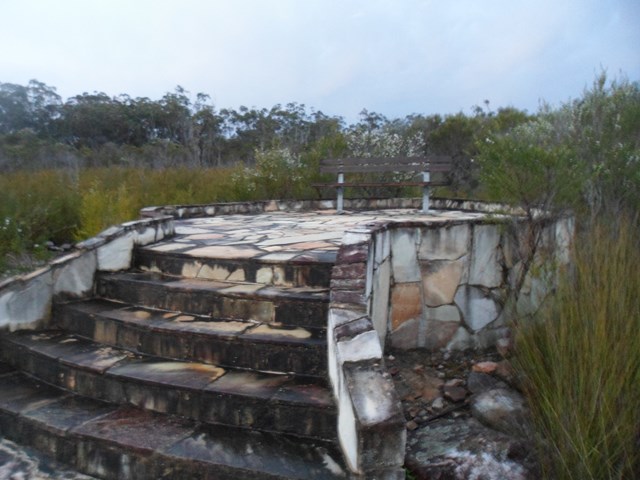
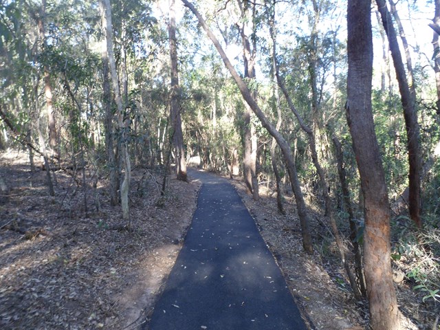
Mee-bor-rum Circuit
This circuit track passes through heathland and features a lookout with views of Tamborine Mountain, Lamington Plateau and Mount Barney. Care must be taken at the lookout; it is a natural texture and has no handrails. Further along the track a circular viewing platform provides views of the heathland and southern section of Mount French.
 1.5
km
return
40
mins
1.5
km
return
40
mins
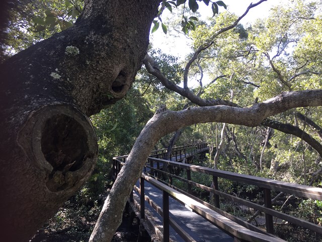
Wynnum Mangrove Boardwalk
Walkway and boardwalk circuit that pass through the mangroves.
 8
km
return
3
hrs
8
km
return
3
hrs
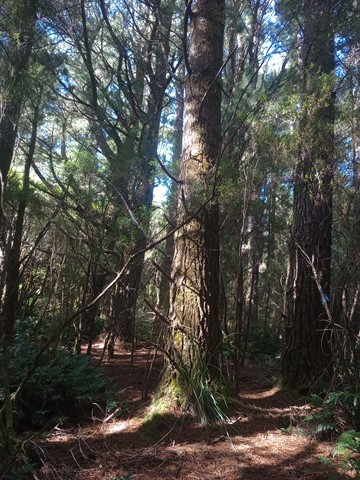
Pine Circle
A pretty walk up through a valley, past an old town water supply dam, following fire roads and up goat tracks to an old pine grove nestled in the bend of a creek
 18
km
one-way
7
hrs
18
km
one-way
7
hrs
Copland Track
This popular tramp gives a glimpse of Westland’s spectacular forest, river and mountain scenery, with natural hot pools at Welcome Flat an added attraction.
 8
km
3.5
hrs
8
km
3.5
hrs
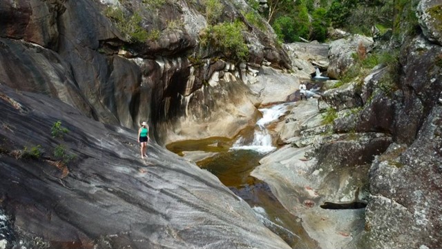
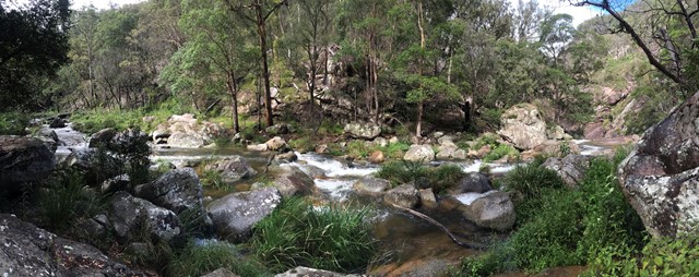
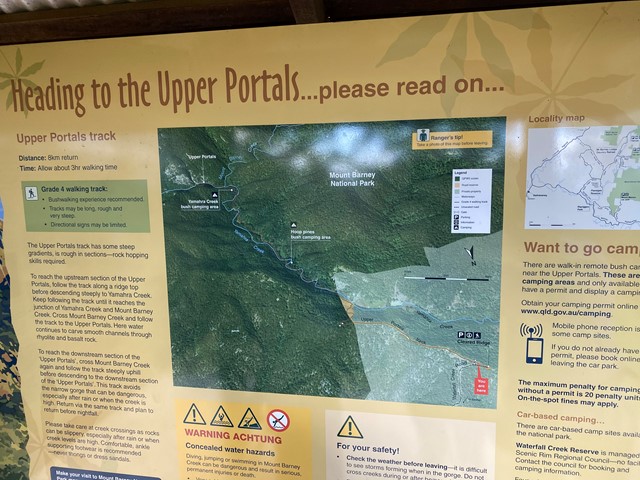
Upper Portals
Easy navigation but with a steep hill. A 4WD or at the very least a high clearance vehicle is required to make it up the road. It is rough going in 1st gear with a few extended steep/rough stretches.
 7
km
one-way
2
hrs
7
km
one-way
2
hrs
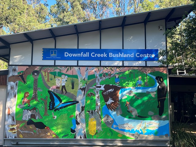
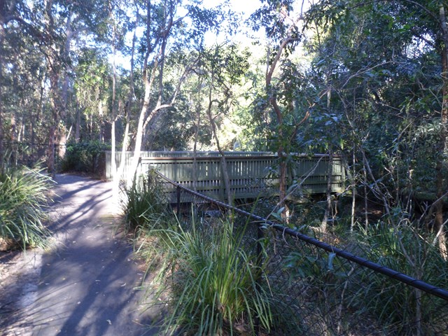
Downfall Creek Walk
Shared path along the creek, from Downfall Creek Bushland Centre to Virginia train station. Don't miss the Huxtable Park Rainforest Boardwalk along the way.
 770
m
15
mins
770
m
15
mins
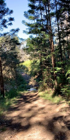
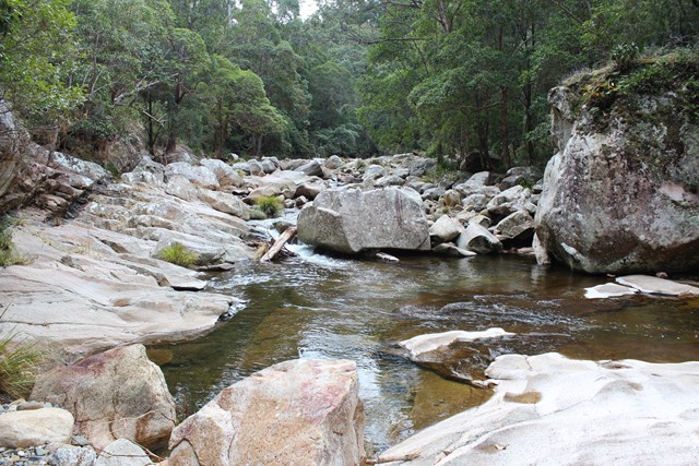
Creek Track
This track leads you to a creek platform that overlooks Downfall Creek. You are likely to see waterhousia and lomandra. Common crow butterflies feed on monkey vine and red ash.
Picnic area available at entrance
Grade: easy
Suited to: bushwalking
Habitat: dry riparian vine forest
Must: spend time at the creek platform listening for birds and watching the creek life
 500
m
return
10
mins
500
m
return
10
mins
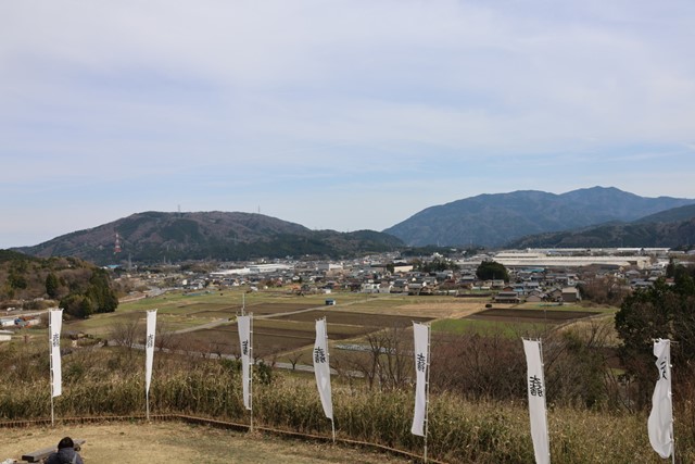
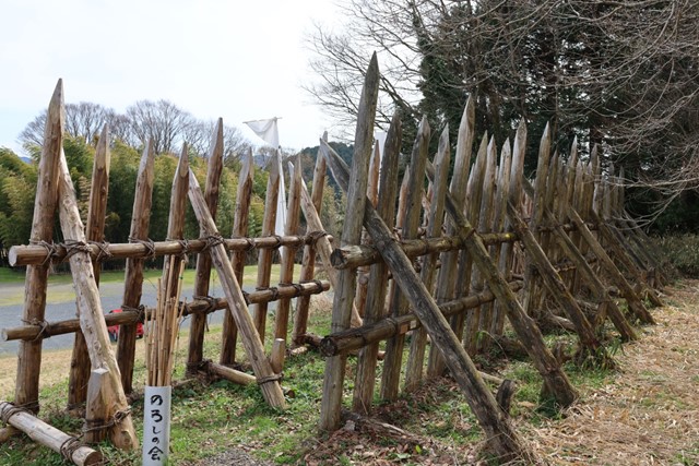
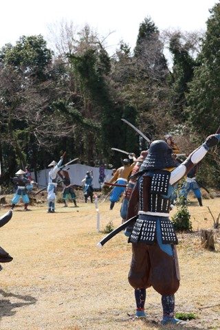
Mt. Sasao 笹尾山 (Gifu Prefecture)
One of the military encampments used by one of the main forces involved in the Battle of Sekigahara. You can feel like you are a samurai as you survey the land and imagine the battle.
 424
m
return
20
mins
424
m
return
20
mins
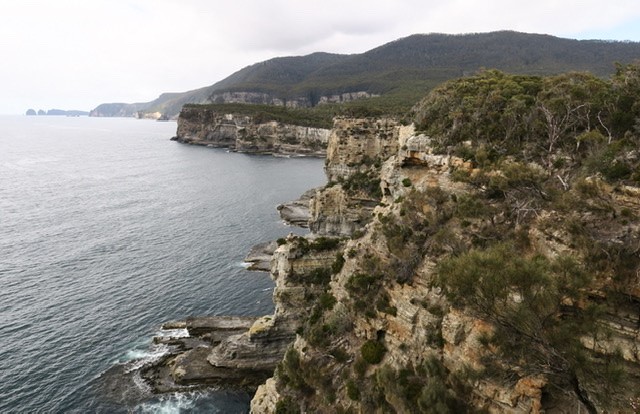
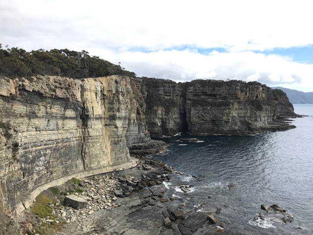
Tasman Blowhole & Fossil Bay Lookout
A short loop around the blowhole and out to a lookout over the coast.
5.2
km
return
105
mins
Waterfall Bay
An easy short walk starting very close to the Tasman Arch down to the Devils Kitchen and ending at Waterfall Bay Lookout.
 36
km
one-way
12
hrs
36
km
one-way
12
hrs
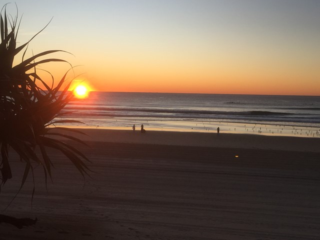
Gold Coast Ocean Way
Shared path along the beach from Point Danger to The Gold Coast Seaway or reverse. Can easily be done in stages.
 7
km
one-way
2
hrs
7
km
one-way
2
hrs
Kedron Brook Walk
Walkway along the Kedron Brook, traversing Grange Heights, Stafford, Gordon Park, Kedron, Toombul. Mostly following the Kedron Brook Bikeway.
Grinstead Park to Toombul Station or reverse.
 13
km
one-way
4
hrs
13
km
one-way
4
hrs
Enoggera Creek walk
Walk along the Enoggera Creek from the Enoggera Reservoir to Bowen Bridge, where the creek joins Breakfast Creek and Brisbane River. Crossing the suburbs The Gap, Ashgrove, Newmarket, Herston and many of the local parks. Mostly following the Enoggera Creek Bikeway.
 5
km
return
3
hrs
5
km
return
3
hrs
Port Arthur Historic Site
A walk around the historic site. Entry Fees apply. Ensure you don't miss the trail up to Scorpion Rock Lookout and the convict Water Supply Trail as well as the walk over to the produce garden and ship building area.
 1.8
km
return
30
mins
1.8
km
return
30
mins
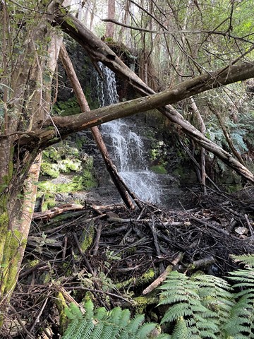
Fern Glade Loop
A short walk taking in one of Tasmania's 60 great short walks. Pleasant but not great.
 300
m
return
20
mins
300
m
return
20
mins
Round Hill Lookouts Walk
A short walk linking the lookouts via small sections of trail and road.